
Explore the diverse boreal terrain, ancient forests, and dramatic granite ravines defined within the Laponian Area
Named Natural Features and Geographic Landscapes of Muddus National Park in Northern Sweden
This collection serves as a focused index for the distinct geological and ecological features identified across Muddus National Park. Users can navigate through various landform types, including the vast mire systems and deep, water-carved ravines that shape the boreal landscape. By documenting these individual sites, the atlas provides a detailed geographic context for the diverse wilderness zones that characterize Sweden's expansive northern forest-protected areas.
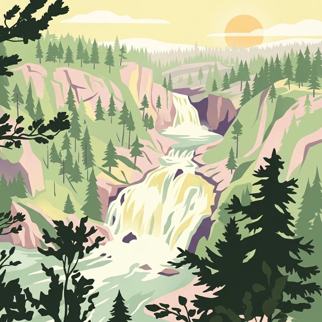
Read Muddus National Park through forest, wetlands, bogs, lakes, and valleys
Upland forest, bog, lake, waterfall, and valley records in Muddus National Park
Mapped water bodies and boreal basin geography
Lakes
Discover the network of named lake features identified throughout the boreal wilderness of Muddus National Park. This resource organizes these basins to highlight their spatial relationship with the park’s dense forests, rocky ravines, and significant wetland complexes, providing a clear geographic view of this UNESCO-recognized region.
Continue Mapping Muddus National Park's Ancient Boreal Landscape
Delve deeper into the protected geography of Muddus National Park to understand its unique mapped terrain, ancient forest ecosystems, and significant ravine and mire formations. Explore its context within Norrbotten County and discover the full scope of this remarkable boreal wilderness through structured atlas data and detailed landscape information.