
Mori Atlas logo
Park guides

Focused insights into seasonal planning and regional environmental conditions

Comprehensive Guide Collection for the National Park of American Samoa

Navigate through available thematic guides for the National Park of American Samoa. These resources offer detailed context on seasonal weather patterns and climate considerations for the three distinct islands in this remote United States territory.

Related tags

tropical rainforestcoral reefsvolcanic islandsPacific islandsmarine biodiversity

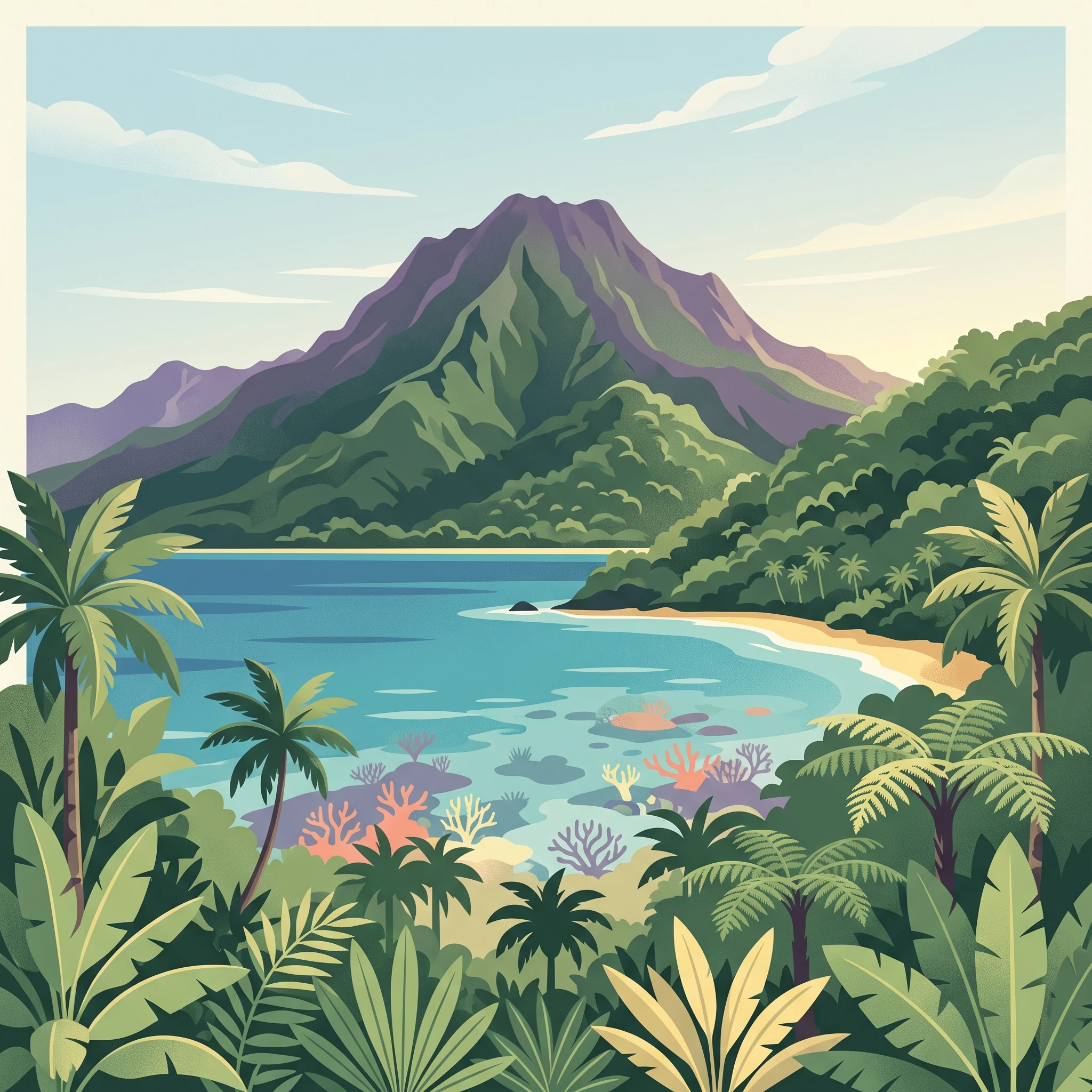
America's only national park south of the equator, protecting tropical rainforests, coral reefs, and Samoan culture across three remote Pacific islands

National Park of American Samoa

The National Park of American Samoa represents a remarkable partnership between the U.S. National Park Service and traditional Samoan village communities. The park stretches across three distinct island units, each offering unique ecological and cultural characteristics. The Tutuila unit, accessible by car and closest to the capital Pago Pago, encompasses the ridgeline and steep northern slopes of the island, including the Amalau Valley, Craggy Point, and Tāfeu Cove. Here, visitors can explore trails to the summit of Mount Alava and discover historic World War II gun emplacements at Breakers Point and Blunts Point along the World War II Heritage Trail. The park's marine component on Tutuila includes 1,200 acres of offshore waters protecting coral reef ecosystems. The Manu'a Islands, comprising Ofu and Ta'ū to the east, represent more remote and wild portions of the park. The Ofu unit features a scenic two-mile beach and Sunuitao Peak, with 70 acres of land and 400 acres of offshore waters. Ofu can be reached by small fishing boats from Ta'ū or by intermittent flights from Pago Pago. The Ta'ū unit is the largest and most undeveloped, covering 3,700 acres of land and 1,100 acres of offshore waters, including the territory's highest point at Lata Mountain. A trail once led to Lata's summit but has become overgrown, though the National Park Service has plans to rebuild the trail starting in June 2024.

Location
United States of America
Park type
National park
Established
1988
Area
33.4 km²
Highest point
970 m
National Park of American Samoa Protected Landscape
1 guide

Compare thematic resources addressing seasonal timing and regional weather trade-offs

National Park of American Samoa Published Guide Collection and Planning Index

Browse the complete collection of published guides created specifically for the National Park of American Samoa to address core visitor questions. Compare available thematic resources covering seasonal planning trade-offs, drier months, and temperature variations.
MoriAtlas Explorer

Continue Exploring National Park of American Samoa's Geographic Identity and Map Context

Delve deeper into the specific geographic attributes and mapped boundaries of National Park of American Samoa. Understanding its unique island terrain and regional atlas placement supports a more informed exploration of protected natural areas within the United States. Gain structured insight into the park's protected landscape and its contribution to the nation's conservation geography.