Climate profileDenmark
Natura 2000-område nr. 55 Stavns Fjord, Samsø Østerflak og Nordby Hede
- Annual mean
- 9 °C
- Warmest month
- August
- Wettest month
- August

Inspect the calendar at a representative 9.08 m coordinate
At Nordby Bakker’s sampled point, mean temperature is 1.54 °C in February and 17.45 °C in August. Daily precipitation averages 1.33 mm in April and 2.50 mm in August, while daylight measures 6.78 hours in December and 17.21 hours in June. Humidity and wind round out the NASA POWER 1991–2020 monthly series at one 9.08 m coordinate, rather than live weather, a forecast, or a protected-area-wide measurement.
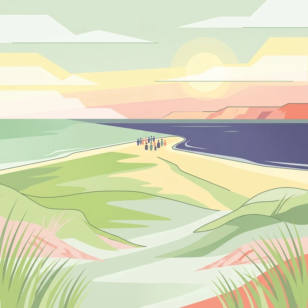
Long-term thermal ranges and average daily precipitation rates across twelve months at a representative coordinate
Analyze long-term temperature bounds, average daily precipitation, wind speed, and calculated daylight across the calendar year.
| Mean temperature | Precipitation | Humidity | Wind speed | Daylight | |
|---|---|---|---|---|---|
| January | 1.9 °C-3.1° to 6.4° | 1.9 mm/day | 90.4% | 7.7 m/s | 7.4 hours |
| February | 1.5 °C-3° to 6.1° | 1.7 mm/day | 89.5% | 7.4 m/s | 9.3 hours |
| March | 3 °C-1.5° to 8.2° | 1.5 mm/day | 87.4% | 6.7 m/s | 11.5 hours |
| April | 6.5 °C1.5° to 13.5° | 1.3 mm/day | 84.3% | 5.6 m/s | 13.9 hours |
| May | 11.2 °C5.4° to 17.8° | 1.6 mm/day | 81.3% | 5.5 m/s | 16.1 hours |
| June | 14.7 °C9.6° to 20.9° | 2.3 mm/day | 81.1% | 5.7 m/s | 17.2 hours |
| July | 17.2 °C12.3° to 22.8° | 2.2 mm/day | 81.6% | 5.3 m/s | 16.7 hours |
| August | 17.5 °C12.8° to 22.8° | 2.5 mm/day | 82.2% | 5.6 m/s | 14.8 hours |
| September | 14.5 °C10.1° to 19.4° | 2.3 mm/day | 84% | 6.4 m/s | 12.4 hours |
| October | 10.4 °C5.6° to 15.4° | 2.5 mm/day | 86.2% | 7.1 m/s | 10 hours |
| November | 6.5 °C1.5° to 11.3° | 2.3 mm/day | 89.1% | 7.4 m/s | 7.9 hours |
| December | 3.2 °C-1.4° to 7.8° | 2.1 mm/day | 90.9% | 7.4 m/s | 6.8 hours |
Analyzing twelve monthly records for temperature, precipitation, humidity, wind, and daylight duration.
Interactive climate map
Visit the MoriAtlas climate map to compare long-term monthly temperature and precipitation metrics across national parks. This visual interface helps you understand seasonal variations at specific protected area coordinates to deepen your knowledge of global park geography and environmental characteristics.
Analyze monthly temperature and precipitation across diverse regional settings




Trace the mapped boundaries and natural features of Nordby Bakker to understand its role as a key conservation site in the Kattegat. MoriAtlas provides a clear look at how glacial history shaped this unique coastal landscape, making it an essential destination for analyzing the regional geography of Region Midtjylland and beyond.