
Mori Atlas logo
Park guides

Time heather blooms, moorland hikes, and quieter seasons

North York Moors seasonal hiking and visit-planning guide for North Yorkshire

Explore the North York Moors' available guide to match seasonal atmosphere with your preferred pace of travel. Its timing advice contrasts the celebrated late-summer heather bloom and long daylight for extended moorland hiking with cooler, quieter shoulder seasons, while keeping wind and rapidly changing coastal conditions in view.

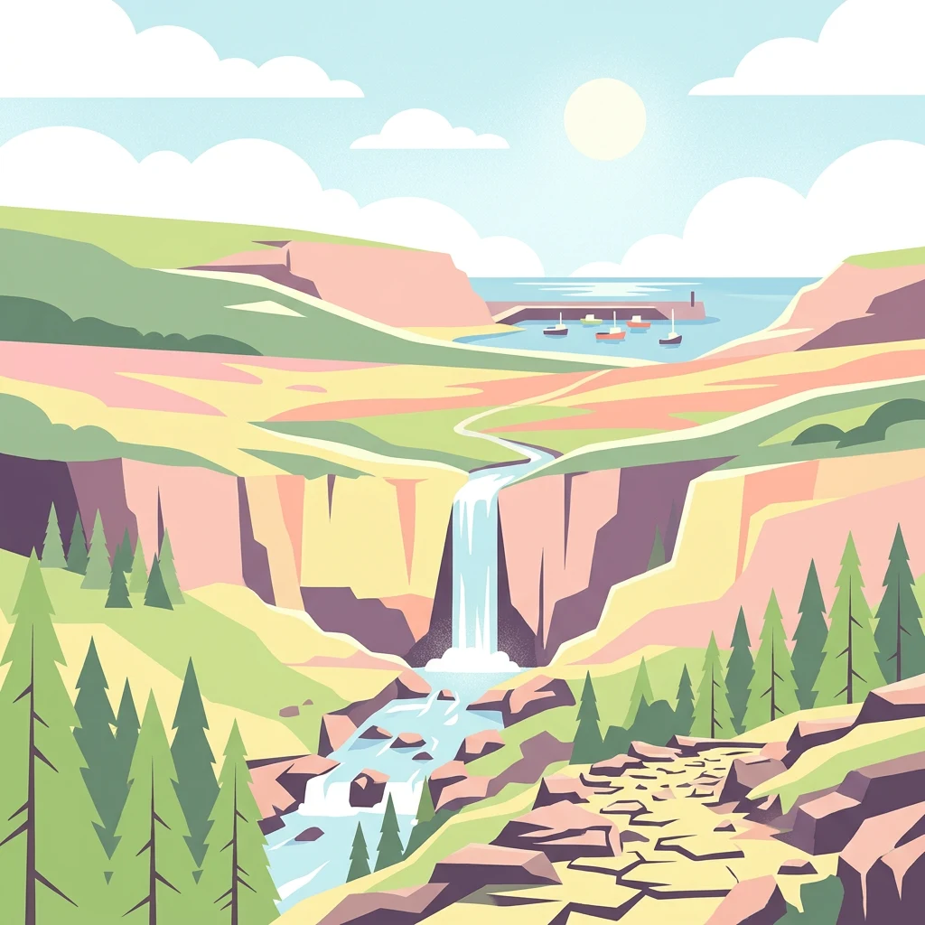
Stylized illustration of a waterfall cascading into a river, surrounded by cliffs, pine forests, and a coastal inlet with boats

England's largest heather moorland and a landscape of deep dales, ancient woodlands and dramatic coastline

North York Moors National Park

North York Moors National Park represents one of Britain's finest upland landscapes, a vast tract of heather-clad plateau interrupted by steep-sided valleys and bounded by some of Yorkshire's most distinctive terrain. The park's establishment in 1952 recognised both the outstanding natural beauty of the area and the need to conserve a landscape shaped by thousands of years of human activity. Today the North York Moors National Park Authority works to balance conservation with sustainable use, managing a territory larger than many English counties while preserving the ecological and cultural values that make it remarkable. The park's geography is defined by its underlying Jurassic geology. Rocks laid down in subtropical seas between 205 and 142 million years ago produce distinctive landforms: the sandstones of the high moorland create poor, acid soils that support heathland and bog, while the limestone of the Tabular Hills to the south weathers to produce fertile alkaline soils supporting woodland and species-rich grasslands. The glacial history of the area further shaped the landscape, with meltwaters carving deep valleys like Newtondale and depositing boulder clays that influence soils across the lower ground. The result is a landscape of remarkable variety within a relatively compact area. Human presence in the North York Moors spans at least 10,000 years, beginning with Mesolithic hunter-gatherers who left flint tools across the moors. Subsequent Neolithic farmers, Bronze Age communities, Iron Age fort-builders, Romans, Anglo-Saxons and Vikings all contributed to the archaeological wealth of the area. The medieval period saw the establishment of powerful monasteries at Whitby, Rievaulx, Byland and Mount Grace, whose sheep-farming operations transformed the landscape into its current form. The industrial era brought ironstone mining, jet extraction and alum quarrying, leaving scars that now form an interesting complement to the natural landscape. This extraordinary depth of human history makes the North York Moors one of the most archaeologically rich areas in Britain.

Location
United Kingdom
Park type
National park
Established
1952
Area
1,430 km²
Highest point
454 m
North York Moors National Park
1 guide

Compare seasonal planning themes to match specific moorland questions.

North York Moors Published Guide Collection and Topic Directory

Published guides for the North York Moors provide structured thematic references for moorland visitors. Compare seasonal planning insights regarding heather blooms and daylight hours to align with specific regional conditions.
MoriAtlas Explorer

Continue Exploring the North York Moors National Park's Mapped Landscape

Expand your understanding of the North York Moors National Park by delving deeper into its structured geographic data and protected landscape characteristics. This destination offers a detailed view of its terrain, from the expansive heather moors to the rugged coastline, providing valuable context for regional atlas exploration. Discover the mapped boundaries and natural features that make this national park a significant element within North Yorkshire's geography.

Global natural geography