Mori Atlas logo
National parkNorth York Moors

Discover the heather moorland plateau, deep dales, and Jurassic coastline.

North York Moors National Park: A Mapped Protected Landscape in North Yorkshire

(North York Moors National Park)

The North York Moors National Park offers a rich tapestry of protected landscapes, characterized by its expansive heather moorland plateau and deeply incised dales. Situated within the ceremonial county of North Yorkshire, this national park presents a unique geographic context, marked by dramatic sea cliffs along the North Sea coast to the east and rolling hills to the north and west. Users can explore the park's distinct terrain, from ancient woodlands to the rugged Jurassic coastline, gaining structured insight into its mapped boundaries and regional natural context.

Heather moorlandNational parkUpland landscapeAncient woodlandsJurassic coastlineDeep dales
Stylized illustration of a waterfall cascading into a river, surrounded by cliffs, pine forests, and a coastal inlet with boats

North York Moors

National park

Park overview

Structured park overview, official facts, and landscape profile for North York Moors National Park

North York Moors National Park park facts, protected area profile, and essential visitor context
Review the core facts for North York Moors National Park, including designation, size, terrain, visitor scale, habitats, and operating context in one park-focused overview.

About North York Moors National Park

North York Moors National Park represents one of Britain's finest upland landscapes, a vast tract of heather-clad plateau interrupted by steep-sided valleys and bounded by some of Yorkshire's most distinctive terrain. The park's establishment in 1952 recognised both the outstanding natural beauty of the area and the need to conserve a landscape shaped by thousands of years of human activity. Today the North York Moors National Park Authority works to balance conservation with sustainable use, managing a territory larger than many English counties while preserving the ecological and cultural values that make it remarkable.

The park's geography is defined by its underlying Jurassic geology. Rocks laid down in subtropical seas between 205 and 142 million years ago produce distinctive landforms: the sandstones of the high moorland create poor, acid soils that support heathland and bog, while the limestone of the Tabular Hills to the south weathers to produce fertile alkaline soils supporting woodland and species-rich grasslands. The glacial history of the area further shaped the landscape, with meltwaters carving deep valleys like Newtondale and depositing boulder clays that influence soils across the lower ground. The result is a landscape of remarkable variety within a relatively compact area.

Human presence in the North York Moors spans at least 10,000 years, beginning with Mesolithic hunter-gatherers who left flint tools across the moors. Subsequent Neolithic farmers, Bronze Age communities, Iron Age fort-builders, Romans, Anglo-Saxons and Vikings all contributed to the archaeological wealth of the area. The medieval period saw the establishment of powerful monasteries at Whitby, Rievaulx, Byland and Mount Grace, whose sheep-farming operations transformed the landscape into its current form. The industrial era brought ironstone mining, jet extraction and alum quarrying, leaving scars that now form an interesting complement to the natural landscape. This extraordinary depth of human history makes the North York Moors one of the most archaeologically rich areas in Britain.

Quick facts and research context for North York Moors National Park

North York Moors National Park covers 554 square miles in North Yorkshire, making it one of England's largest national parks. Established in 1952, it is governed by the North York Moors National Park Authority based in Helmsley. The park contains the largest expanse of heather moorland in Britain, with about 23 percent covered by woodland—the highest concentration of ancient and veteran trees in northern England. The landscape is carved by deep dales including Eskdale, the longest valley, while the Cleveland and Hambleton Hills form prominent escarpments along the northern and western edges. The park has been recognised as an International Dark Sky Reserve since 2020, confirming exceptionally dark night skies across the area.

Park context

Deeper park guide and search-rich context for North York Moors National Park

North York Moors National Park history, landscape, wildlife, and travel context
Explore North York Moors National Park through its history, landscape character, ecosystems, wildlife, conservation priorities, cultural context, and seasonal travel timing in a structured park guide built for atlas discovery and search intent.

Why North York Moors National Park stands out

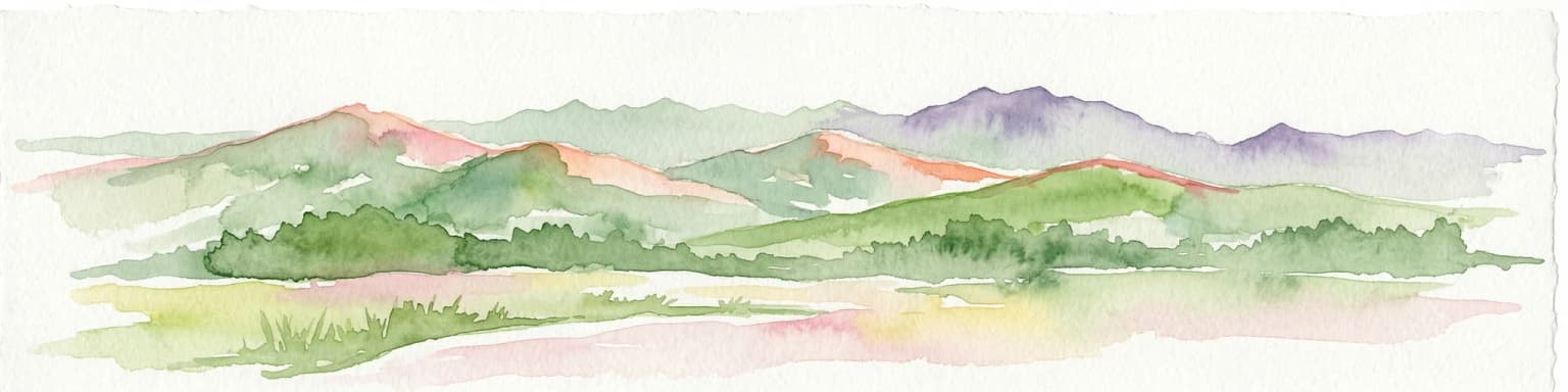
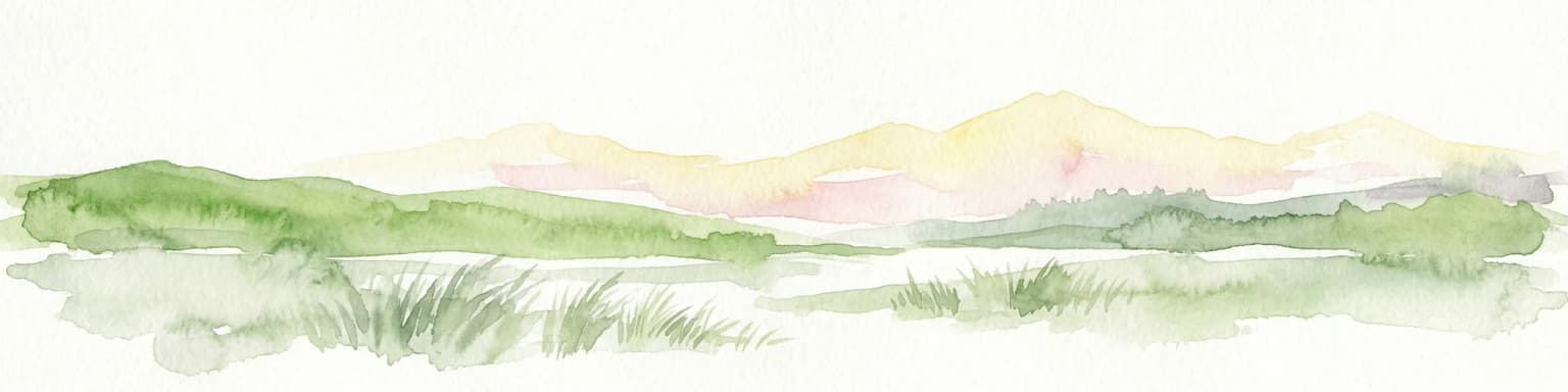
The North York Moors is best known for its vast heather moorland, the most extensive in Britain, which creates a distinctive purple-hued landscape in late summer when the Calluna vulgaris blooms across the high ground. The deeply dissected plateau, cut by a network of dales such as Eskdale, Farndale and Rosedale, provides dramatic scenic variety, while the North Sea coast offers towering cliffs at Boulby (the highest point on England's east coast) and fossil-rich Jurassic exposures at Robin Hoods Bay and Ravenscar. The park is also celebrated for its ancient woodlands, particularly the sessile oak forests of the limestone belt, and for supporting populations of red grouse, curlew, golden plover and increasingly, reintroduced otters. The Cleveland Way national trail encircles the park, combining moorland and coastal walking, while the designation as an International Dark Sky Reserve in 2020 adds astronomy to its list of distinctive qualities.

Purple heather moorland landscape with a gravel path winding through rolling hills under a blue sky with scattered clouds
Purple heather moorland with a gravel path under a partly cloudy sky

North York Moors National Park history and protected-area timeline

The North York Moors has been inhabited continuously for at least 10,000 years, with the earliest evidence coming from Mesolithic hunter-gatherers who left scattered flint tools across the moors around 8000 BC. By the Neolithic period, around 4500 BC, agricultural communities had established themselves on the fertile limestone belt, clearing forests and beginning the long process of creating the open landscape that characterises the moors today. The Bronze Age, beginning around 2000 BC, saw population spread across all areas of the moors, with approximately 3,000 burial mounds still surviving as visible features on the high ground.

The Iron Age left fewer above-ground traces, though promontory hill forts at Boltby Scar and Roulston Scar survive, along with stone hut circles on Percy Rigg. Roman occupation from the first century AD brought roads including Wade's Causeway and forts at Malton, Cawthorn and Lease Rigg, plus coastal signal stations at Filey, Scarborough and elsewhere. After the Roman departure in 410 AD, Anglo-Saxon and then Viking settlement profoundly influenced place names and the character of the area, with Danish settlers establishing control in the ninth century.

The medieval period brought the establishment of major monasteries—Whitby Abbey, Rievaulx Abbey, Byland Abbey and Mount Grace Priory—which owned about a third of the land and managed it as sheep farms, creating much of the existing landscape. The dissolution of the monasteries under Henry VIII between 1536 and 1541 led to private ownership of these lands. The nineteenth century saw the construction of railways and a boom in ironstone mining, particularly in Rosedale, while jet and alum extraction also expanded. The North York Moors was designated as a national park in 1952, one of the first ten in England and Wales, established under the National Parks and Access to the Countryside Act 1949.

North York Moors National Park landscape and geographic character

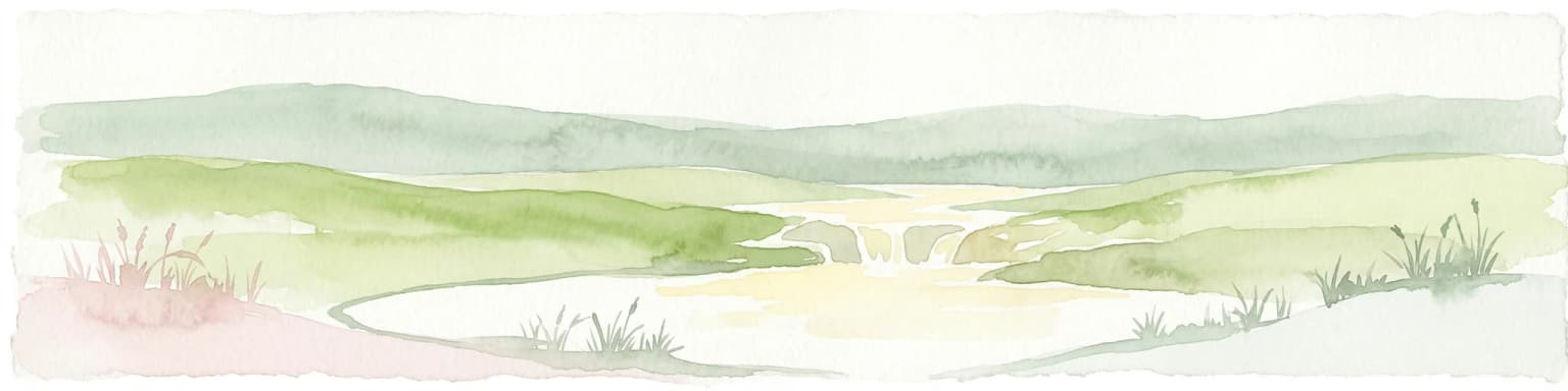
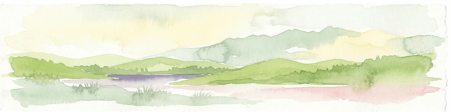
The North York Moors presents a landscape of striking contrasts: a broad, relatively flat moorland plateau punctuated by deep, steep-sided valleys that provide the most dramatic topographical variety. The plateau, formed from Jurassic sandstones, reaches heights of over 450 metres at Urra Moor (Round Hill), the highest point in the park, and supports the extensive heather moorland for which the area is famous. The sandstone geology produces poor, acid soils that encourage the formation of sphagnum moss bogs and, where drainage improves, the characteristically purple heather moorland that dominates the high ground.

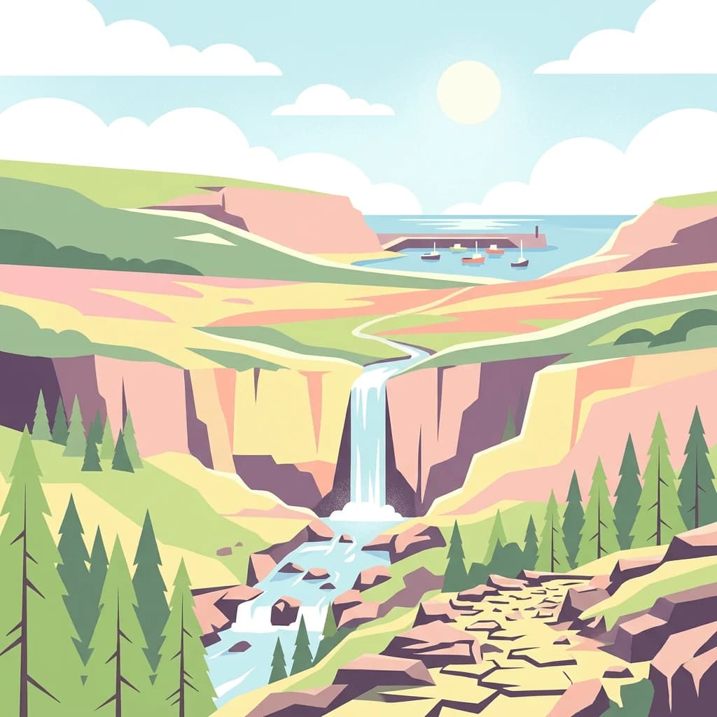
The dales—valleys carved by rivers and glacial meltwater—provide the most scenic diversity. Eskdale, the largest, follows the River Esk from west to east to the sea at Whitby, its upper reaches splitting into Westerdale, Baysdale and Commondale. Side dales including Danby Dale, Great Fryup Dale, Glaisdale and the Goathland valley drain into Eskdale from the south. To the south of the main plateau, the limestone Tabular Hills are cut by dales including Rye Dale, Bilsdale, Bransdale, Farndale, Rosedale and Newton Dale, which drain to the River Derwent. The Cleveland Hills form a prominent scarp to the north and west, with the Hambleton Hills creating a sharp edge above the Vale of Mowbray.

The eastern boundary is dramatically defined by the North Sea coast, where cliffs rise to 690 feet at Boulby—the highest point on England's east coast. Rocky shores and sandy bays alternate along this coast, with Jurassic geology beautifully exposed at Staithes, Robin Hoods Bay and Ravenscar. The interior contains about 23 percent woodland cover, concentrated in the southwest and southeast, representing some of the most significant ancient and veteran tree habitat in northern England.

A sheep with thick white wool stands on a grassy hilltop, overlooking a landscape of rolling green fields and distant tree lines under a partly cloudy sky
Sheep standing on a grassy hill overlooking rolling green fields in North York Moors

North York Moors National Park ecosystems, habitats, and plant life

The North York Moors supports three distinct ecological zones, each with characteristic vegetation and wildlife communities. The upland moorland, covering the largest area, is dominated by heather growing on deep peat soils that developed over millennia in the poorly drained, acid conditions created by the sandstone geology. The peat bogs support sphagnum mosses and cotton grass, while the dryer areas support bilberries and grasses. The nature of the soils—acid and nutrient-poor—limits earthworm populations, which in turn affects the distribution of earthworm-feeding mammals like moles and common shrews, though the pygmy shrew survives on insects and spiders.

The limestone belt to the south supports very different vegetation. The quicker-weathering limestone produces fertile, alkaline soils that support species-rich grasslands and woodlands. The dales carved through the limestone have been gouged by glacial meltwaters, creating steep-sided valleys with streams that support abundant aquatic invertebrates and fish including trout and grayling. Sheltered woodlands dominated by sessile oaks provide habitat for pied flycatchers, sparrowhawks and wood warblers, while the grasslands support rare butterflies including pearl-bordered fritillary, Duke of Burgundy fritillary and marbled white. The coast offers yet another habitat type, with rocky shores, sandy bays and cliff faces supporting marine life, seabirds and maritime-influenced vegetation.

Approximately 23 percent of the park is woodland, making it one of the most forested of England's national parks. This woodland, concentrated in the southwest and southeast, contains the largest concentration of ancient and veteran trees in northern England—a remarkable resource for biodiversity including rare invertebrates, fungi and birds dependent on old-growth forest.

Aerial photograph of the North York Moors national park with open fields, moorland, and distant hills under a partly cloudy sky
Aerial view of the North York Moors showing rolling hills, valleys, and diverse terrain under a partly cloudy sky

North York Moors National Park wildlife and species highlights

The wildlife of the North York Moors reflects the diversity of its habitats. The moorland supports characteristic bird species including red grouse (abundant and dependent on heather), curlew, northern lapwing, common redshank and golden plover. The grouse population supports a traditional shooting economy, with heather being burned in strips to encourage new growth. Ring ouzels inhabit stony areas, while wheatears are found on grassier patches. The streams that cross the moorland support sandpipers and, in the valleys, dippers and grey wagtails.

The limestone dales and their streams support a particularly rich bird community. Grey wagtails, swallows and spotted flycatchers feed on the abundant aquatic insects, while kingfishers and dippers are typical of the clean, well-oxygenated waters. Otters, after a period of decline, are now recolonising the rivers and streams of the dales—a conservation success story. Roe and fallow deer are found in the woodlands, while adders are widespread throughout the park, feeding on common lizards in the open and small mammals near hedgerows.

The coastal cliffs and shores support breeding colonies of herring gulls, while cormorants and fulmars nest along the rocky sections. The shores attract curlews and oystercatchers feeding on the invertebrate life of the sand, and stonechats and rock pipits are typical of the cliff-top habitat. The woodlands of the limestone belt support pied flycatchers, sparrowhawks and wood warblers, while the grasslands host diverse butterfly populations including several rare species.

Circular sign with 'North York Moors' text, red border, white center with cross and landscape icon, mounted on stone boulder surrounded by green grass and yellow flowers
Circular red and white sign for North York Moors National Park mounted on a stone boulder

North York Moors National Park conservation status and protection priorities

The North York Moors holds multiple conservation designations that recognise its national and international importance. As a national park designated under the National Parks and Access to the Countryside Act 1949, the area receives protection for its landscape, wildlife and cultural heritage, with the North York Moors National Park Authority responsible for conservation and sustainable development. The designation as an International Dark Sky Reserve in 2020 adds protection for the night sky, recognising the exceptionally low light pollution across much of the park.

The woodland resource is particularly significant. The 23 percent tree cover—mostly in the southwest and southeast—represents the largest concentration of ancient and veteran trees in northern England, providing habitat for rare invertebrates, fungi and birds dependent on decaying wood. Several Sites of Special Scientific Interest (SSSIs) protect key habitats, while National Nature Reserves at Forge Valley and elsewhere provide exemplary management. The heather moorland, while semi-natural, depends on active management including controlled burning for grouse to maintain its character—demonstrating how traditional land use and conservation can work together.

The coast is designated as a Heritage Coast where the Cleveland Hills meet the sea, highlighting the special landscape and ecological value of this boundary between land and sea. The return of otters to the rivers represents a successful conservation narrative, while ongoing work to restore woodland, manage moorland and protect geological exposures ensures the diverse interests of the park are maintained for future generations.

North York Moors National Park cultural meaning and human context

The North York Moors is one of Britain's most archaeologically rich landscapes, with over 12,000 recorded sites spanning at least 10,000 years of continuous human presence. The archaeology ranges from Mesolithic flint scatters through Neolithic burial mounds (the long barrows of early farmers), Bronze Age ring cairns and barrows (approximately 3,000 survive), Iron Age hill forts, Roman roads and signal stations, Anglo-Saxon and Viking place names, and medieval monasteries whose land management created much of the present landscape.

The cultural landscape reflects this long occupation. Villages such as Hutton-le-Hole, Goathland and Rosedale preserve traditional architectural character, while the network of routeways—hollow ways and paved trods—across the moors represents centuries of movement across the high ground. The abbeys at Whitby, Rievaulx, Byland and Mount Grace, plus Castle Priory at Mount Grace, were major landholders who managed the landscape as sheep farms, profoundly shaping both the ecology and the visual character of the area. The ironstone mining of the nineteenth century, particularly in Rosedale, and the jet and alum industries along the coast, left industrial heritage that now forms an interesting element in the archaeological resource.

The park also has literary and cultural associations. Whitby is famous as the home of Bram Stoker's Dracula, while the North Yorkshire Moors Railway—itself a heritage asset—appears in the film version of Downton Abbey and as Hogsmeade Station in the Harry Potter films. The series Heartbeat was filmed extensively in the area. These connections add cultural layers to the physical landscape, demonstrating how the North York Moors has continued to inspire creative work through to the present day.

Sheep standing on a grassy hillside with misty horizon and colorful sky at sunrise
Sheep grazing on misty moorland at dawn

Top sights and standout views in North York Moors National Park

The North York Moors combines outstanding natural beauty with remarkable cultural depth. The heather moorland in late summer—covering much of the high plateau—creates one of Britain's most iconic landscapes, while the deeply incised dales provide scenic drama and ecological variety. The Jurassic coastline, with its fossil-rich cliffs and dramatic sea stacks, offers a different character, and the return of otters to the clean rivers of the limestone dales represents a conservation triumph. The ancient and veteran trees of the park's woodlands constitute a national treasure, supporting biodiversity found nowhere else in northern England.

Walking opportunities are exceptional, with the Cleveland Way encircling the park and the Lyke Wake Walk crossing its heart, while the network of public rights of way extends to almost 1,400 miles. The designation as an International Dark Sky Reserve confirms exceptional night skies, while visitor centres at Sutton Bank and Danby provide gateway experiences. Heritage attractions including Rievaulx Abbey, Byland Abbey, Helmsley Castle and the Ryedale Folk Museum complement the natural assets, and the North Yorkshire Moors Railway offers a unique heritage travel experience.

Black and white photograph showing a long stone road stretching across moorland with a person walking on the left side
Wade's Causeway, a Roman road in the North York Moors National Park, with a person walking along its edge

Best time to visit North York Moors National Park

The North York Moors offers different qualities throughout the year. Late spring and early summer—May through July—bring warm weather, long days and excellent walking conditions, with daffodils flowering in Farndale in spring and the limestone grasslands at their most colourful. Autumn, particularly September and October, often provides settled weather with the moors showing their characteristic purple when the heather blooms from late July through September, creating spectacular colour across the high ground.

Winter offers a different character, with the moors often covered in snow and the landscape at its most dramatic, though conditions can be challenging with drifting snow on exposed roads. The dark skies of autumn and winter are particularly good for stargazing, given the park's International Dark Sky Reserve status. Spring can be延迟 with chilly conditions brought by onshore winds from the North Sea (locally called sea frets), but this season suits those seeking quieter trails. The shoulder seasons of spring and autumn generally offer the best combination of reasonable weather, good visibility and fewer visitors, though the summer school holidays see increased activity, particularly around visitor centres and popular walking routes.

Park location guide

Geography guide, regional context, and park location map for North York Moors National Park

North York Moors National Park park geography, regions, and map view in United Kingdom
Understand where North York Moors National Park sits in United Kingdom through a broader geographic reading of the surrounding landscape, nearby location context, and its mapped position within the national park landscape.

How North York Moors National Park fits into United Kingdom

The United Kingdom is a parliamentary constitutional monarchy located in northwestern Europe, consisting of four constituent countries: England, Scotland, Wales, and Northern Ireland. As a major global power with over 69 million residents, it maintains significant international influence in politics, economics, and culture.

Wider geography shaping North York Moors National Park in United Kingdom

The United Kingdom is an island nation located in northwestern Europe, surrounded by the Atlantic Ocean, North Sea, English Channel, Celtic Sea, and Irish Sea. It shares a land border with the Republic of Ireland to the west. The territory includes the island of Great Britain, the northeastern portion of Ireland, and most of the smaller British Isles islands.

Map view of North York Moors National Park

Use this park location map to pinpoint North York Moors National Park in United Kingdom, understand its exact geographic position, and read its mapped placement within the surrounding landscape more clearly.

Pigeon | © OpenStreetMap contributors

Location context for North York Moors National Park

North Yorkshire

Discover the Diverse Protected Landscape, Ancient Woodlands, and Dramatic Dales of this UK National Park

Explore North York Moors: Visualizing England's Expansive Heather Moorland and Coastal Scenery
Visually explore the North York Moors National Park, examining its vast heather moorland, deep pastoral valleys, and dramatic Jurassic coastline through rich imagery. These protected area views help to understand the distinctive topography, ancient habitats, and unique environmental character of this cherished English landscape.

Purple heather moorland landscape with a gravel path winding through rolling hills under a blue sky with scattered clouds

Several small boats floating on calm water in a harbour with stone breakwater and distant sea under a partly cloudy sky

A sheep with thick white wool stands on a grassy hilltop, overlooking a landscape of rolling green fields and distant tree lines under a partly cloudy sky

Aerial photograph of the North York Moors national park with open fields, moorland, and distant hills under a partly cloudy sky

Circular sign with 'North York Moors' text, red border, white center with cross and landscape icon, mounted on stone boulder surrounded by green grass and yellow flowers

Stone path winding through heather-covered moorland with a stone marker on the right and distant hills under blue sky with wispy clouds

Sheep standing on a grassy hillside with misty horizon and colorful sky at sunrise

Black and white photograph showing a long stone road stretching across moorland with a person walking on the left side

Park atlas

Compare other protected landscapes and map their geographic spread across Northern England.

Explore Other National Parks and Protected Areas Near North York Moors
Browse national parks and protected areas in the vicinity of North York Moors, including diverse upland, coastal, and forested landscapes across Northern England. Deepen your understanding of regional park geography and conservation efforts by comparing features, tracing the spread of protected land, and identifying unique ecological zones.
National parkNorth Yorkshire

Yorkshire Dales National Park: A Protected Landscape in North Yorkshire

Explore mapped boundaries and distinctive limestone terrain.

Yorkshire Dales National Park offers a rich tapestry of mapped natural landscapes, characterized by its iconic limestone valleys, U-shaped glacial formations, and rolling heather-clad moorlands. Situated within North Yorkshire, this protected area showcases a unique karst geology, evident in features like Malham Cove and extensive cave systems. The park's traditional dry-stone walls and working farms contribute to a living cultural landscape, making it a prime destination for atlas-driven geographic discovery and understanding regional terrain.

Area
2,178 km²
Established
1954
IUCN
V
Relief
Mountain
National parkUnited Kingdom

Peak District National Park: Explore Protected Landscape and Regional Geography

Mapped boundaries and natural terrain context for this UK national park.

Investigate the Peak District National Park, a cornerstone of the United Kingdom's protected natural areas. This MoriAtlas entry provides essential details on its geographic scope, mapped boundaries, and landscape characteristics. Engage with structured data to understand how this national park fits into the atlas of the United Kingdom, supporting detailed geographic and protected-area discovery for researchers and explorers.

Area
1,440 km²
Established
1951
IUCN
V
National parkNorthumberland

Northumberland National Park: England's Northernmost Protected Landscape and Dark Sky Wilderness

Explore its mapped boundaries, Roman heritage, and remote moorland terrain.

Northumberland National Park protects over 1,050 square kilometers of remote and stunning natural beauty in northern England, bordering Scotland. This page provides a structured overview of its protected landscape, focusing on its geographic context within the county of Northumberland, its designation as a National Park, and its renowned status as Europe's largest Dark Sky Park. Users can discover the park's characteristic moorland terrain, the archaeological significance of Hadrian's Wall, and the vast expanses of Kielder Forest, offering an atlas-level understanding of this unique frontier landscape.

Area
1,050 km²
Established
1956
IUCN
V
Relief
Highland
National parkCumbria

Lake District National Park: Protected Landscape Atlas and Geographic Exploration

Mapped mountain terrain and glacial valleys in Cumbria

Delve into the geography of Lake District National Park, a protected area renowned for its dramatic mountainous terrain, U-shaped glacial valleys, and stunning natural lakes. This atlas perspective highlights the park's unique landscape features, mapped boundaries, and its significance within Cumbria, offering a comprehensive view for geographic discovery.

Area
2,292 km²
Established
1951
IUCN
V
Relief
Mountain
National parkWales

Snowdonia National Park: Protected Landscape and Map Exploration in North Wales

Mountain terrain, glacial lakes, and regional geography.

Snowdonia National Park offers a profound exploration of mountainous protected landscapes in North Wales. This page details the park's mapped boundaries, revealing a terrain shaped by glaciation, featuring dramatic peaks like Snowdon, steep valleys, and pristine glacial lakes. Understand its geographic identity within the United Kingdom and how its protected status contributes to the regional landscape context, providing a unique focus for atlas-based discovery.

Area
2,142 km²
Established
1951
Relief
Mountain
Climate
Temperate
National park

The Broads National Park: Wetland Landscape, Rivers, and Regional Geography Atlas

Explore mapped waterways and protected reedbed ecosystems.

The Broads National Park offers a singular protected wetland landscape with over 200 kilometers of navigable waterways across its numerous shallow lakes, or 'broads.' Shaped by medieval peat excavations and natural processes, this area presents a unique geography of reedbeds and grazing marshes, punctuated by historic windmills. Discover the mapped extent of this protected landscape, its river systems, and its vital role in regional geography through structured atlas data.

Area
303 km²
Established
1989
IUCN
V
Relief
Lowland
Watercolor illustration showing mountains, green forests, a loch, and a river in a landscape
National parkScotland

Loch Lomond and The Trossachs National Park: Scotland's National Park Atlas and Protected Landscape

Mapping Scotland's Highland Boundary Fault and diverse natural terrain.

As Scotland's first national park, Loch Lomond and The Trossachs National Park offers a prime example of a protected landscape shaped by significant geological features. This atlas entry highlights its strategic location along the Highland Boundary Fault, which delineates distinct highland and lowland terrains. Users can explore the park's extensive network of lochs, including Loch Lomond, its mountainous Munros, and its native woodland ecosystems, providing a rich geographic context for discovery.

Area
1,865 km²
Established
2002
IUCN
V
Visitors
2.9M annual
National parkWales

Brecon Beacons National Park: Explore Wales' Iconic Protected Mountain Landscape

Discover mapped terrain, park boundaries, and regional geography.

Brecon Beacons National Park, officially Bannau Brycheiniog, stands as a premier protected area within Wales, covering over 1,344 square kilometers of striking mountainous terrain. This national park is defined by its dramatic Old Red Sandstone ranges, including Pen y Fan, South Wales' highest peak, and features diverse landscapes from heather moorland to extensive river valleys. Its mapped boundaries encompass unique geological features, significant historical sites, and provide context for regional geographic exploration, making it a key destination for understanding protected lands in the UK.

Area
1,344 km²
Established
1957
IUCN
V
Visitors
4.4M annual

Common questions about visiting, size, designation, and location context for North York Moors National Park

North York Moors National Park FAQs for park facts, access, geography, and protected area context
Find quick answers about North York Moors National Park, including protected-area facts, park geography, trail and visitor context, and how the park fits into its surrounding country and regional landscape.
MoriAtlas Explorer

Continue Your Protected Areas Search Across the Global Atlas

Deepen your exploration by continuing the structured search for national parks and protected areas worldwide. Utilize the comprehensive filtering capabilities to compare different conservation landscapes and refine your understanding of global park geography. Discover more about the distribution and characteristics of protected natural areas.

Global natural geography