Mori Atlas logo
National parkThe Broads

Discover Britain's unique peat-carved lake and river system, an extensive wetland protected area.

The Broads National Park: Mapped Wetlands, Rivers, and Protected Landscape Geography

(The Broads National Park)

The Broads represents a distinctive national park, uniquely defined by its vast network of navigable rivers and shallow, peat-excavated lakes rather than natural formation. This protected wetland landscape in Eastern England offers extensive mapped waterways, vast reedbeds, and a rich regional geography shaped by centuries of human interaction with water. Explore the geographic context and mapped boundaries of The Broads to understand its significance as Britain's largest protected wetland.

wetlandEnglandnational parkriverslakesbirdwatching

The Broads

National park

Park overview

Structured park overview, official facts, and landscape profile for The Broads

The Broads park facts, protected area profile, and essential visitor context
Review the core facts for The Broads, including designation, size, terrain, visitor scale, habitats, and operating context in one park-focused overview.

About The Broads

The Broads stands as one of England's most distinctive protected landscapes, combining ecological significance with a remarkable human history that shaped the very terrain it seeks to preserve. The network of shallow lakes and rivers sprawls across low-lying terrain in Norfolk and Suffolk, creating a landscape unlike anywhere else in Britain where the boundaries between land and water constantly shift. The area was formally protected in 1989 through the Norfolk and Suffolk Broads Act, which established the Broads Authority as a special body with duties and powers similar to a national park authority, though it also carries unique responsibilities as a navigation authority for over 200 kilometres of waterways. This dual role reflects the Broads' fundamental character as both a living wetland ecosystem and a historic navigation network that has been used for centuries. The Broads has also held Ramsar Convention status since 1976, recognising its international importance as a wetland habitat.

Quick facts and research context for The Broads

The Broads occupies 303 square kilometres across Norfolk and Suffolk in East Anglia, making it Britain's largest protected wetland. The area comprises seven navigable rivers—Yare, Bure, Thurne, Ant, Waveney, Chet, and Wensum—along with sixty-three shallow lakes known as broads, most formed from flooded medieval peat excavations. The Broads Authority manages the area with a unique dual role as both a conservation body and navigation authority, established under its own legislation in 1989. The area holds Ramsar wetland status (designated 1976) and contains multiple National Nature Reserves, Special Protection Areas, and Sites of Special Scientific Interest.

Park context

Deeper park guide and search-rich context for The Broads

The Broads history, landscape, wildlife, and travel context
Explore The Broads through its history, landscape character, ecosystems, wildlife, conservation priorities, cultural context, and seasonal travel timing in a structured park guide built for atlas discovery and search intent.

Why The Broads stands out

The Broads is best known as Britain's premier wetland landscape, distinguished by its network of shallow, peat-carved lakes called broads and its extensive reedbed systems. The area is famous for its historic drainage windmills that dot the landscape, the traditional Norfolk wherry boats that still sail the waterways, and its exceptional birdwatching opportunities including breeding populations of marsh harriers, bitterns, and cranes. The Broads represents a unique example of a cultural landscape where human activity, medieval peat extraction, combined with natural processes to create a wholly distinctive wetland environment that now supports exceptional biodiversity.

The Broads history and protected-area timeline

The origins of the Broads remained mysterious for centuries, with the shallow lakes long assumed to be natural features of the East Anglian landscape. It was not until the 1960s that botanist Joyce Lambert proved the broads were in fact artificial, created by the flooding of medieval peat excavations. During the Middle Ages, local monasteries operated extensive turbary businesses, digging peat from the wetlands to sell as fuel to Norwich and Great Yarmouth—with Norwich Cathedral alone reportedly taking 320,000 tonnes annually. When sea levels began rising, the abandoned peat pits flooded, and despite the construction of windpumps and dykes to drain the land, the flooding continued and gradually created the characteristic Broads landscape of today. The area's waterways were also subject to various historical attempts to extend navigation, including projects on the River Waveney in the 17th century, the River Bure in the late 18th century where locks were built to bypass mills between Coltishall and Aylsham, and the North Walsham and Dilham Canal in the early 19th century. The Broads have been a boating holiday destination since the late 19th century, with the first yachts available for hire in 1878 and the creation of holiday agencies in the early 1900s.

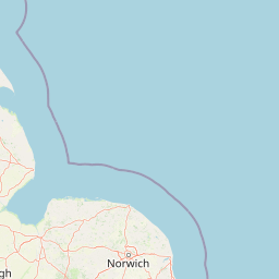
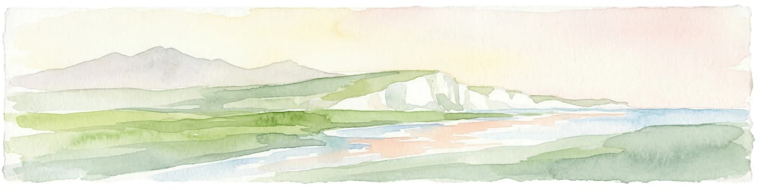
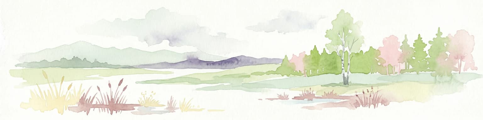
The Broads landscape and geographic character

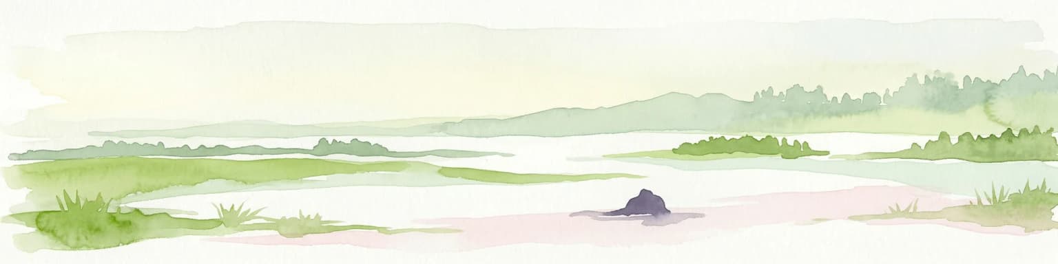
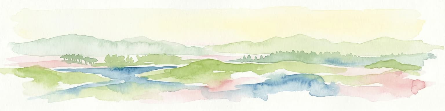
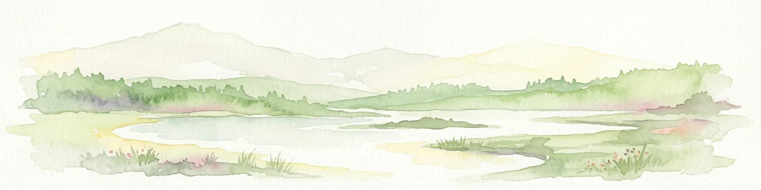
The Broads presents a distinctive low-lying wetland landscape shaped by water, peat, and centuries of human modification. The terrain consists mostly of flat or gently rolling grazing marshes, shallow lake basins, and extensive reedbeds that create a landscape of remarkable openness and big skies. The individual broads range in size from small pools to the large expanses of Hickling Broad, Barton Broad, and Breydon Water, with the majority lying in the northern half of Broadland around the Rivers Bure, Thurne and Ant. The rivers themselves are largely lock-free and subject to tidal influence, with the tidal range decreasing as one travels upstream from the sea. Notable geographical features include the Haddiscoe Cut—a modern canal connecting the Rivers Yare and Waveney—and the Trinity Broads, a separate group of lakes that have no navigable connection to the main system. The landscape is punctuated by historic drainage windmills, some still standing and others in various states of preservation, that were once essential to managing water levels in this reclaimed wetland.

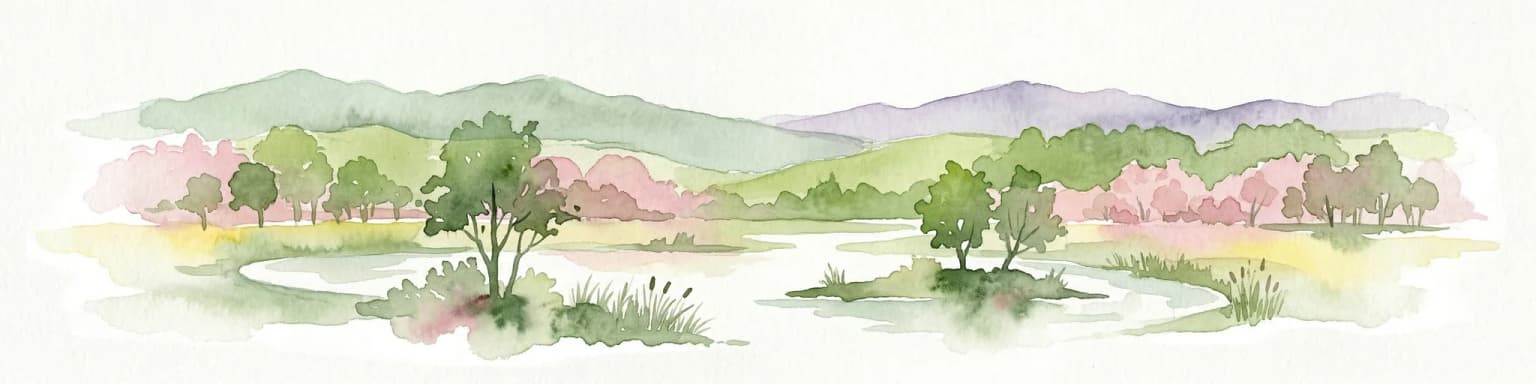
The Broads ecosystems, habitats, and plant life

The Broads represents Britain's largest protected wetland, a complex ecosystem of shallow lakes, reedbeds, fens, grazing marshes, and wet woodland that supports exceptional biodiversity. The shallow, nutrient-rich waters of the broads create ideal conditions for diverse aquatic vegetation, while the surrounding fens—dominated by reeds and sedges—provide crucial habitat for specialist wetland species. Norfolk reed from the broads has long been harvested for thatching, representing a traditional use of the landscape that continues today. The area's conservation designations include Special Protection Area status for Broadland, multiple National Nature Reserves, and numerous Sites of Special Scientific Interest, reflecting the national and international importance of its ecological communities. The wetland system's biodiversity faces challenges from eutrophication resulting from agricultural runoff and sewage disposal changes in the mid-20th century, with the Broads Authority and Environment Agency working since the 1960s to restore water quality through nutrient reduction, sediment removal, and biomanipulation techniques.

The Broads wildlife and species highlights

The Broads supports an impressive array of birdlife, with the wetland habitats providing crucial breeding and feeding grounds for both common and scarce species. Waterfowl including mallard, coot, moorhen, great crested grebe, greylag goose, Canada goose, and Egyptian goose are frequently encountered across the waterways and marshes. Raptors such as marsh harrier, kestrel, and sparrowhawk hunt over the reedbeds and grazing marshes, while grey herons and cormorants fish the shallow waters. The Broads is particularly notable for populations of bitterns—those secretive, camouflaged herons whose booming calls echo across the reedbeds in spring—and for supporting breeding common cranes, a rare sight in Britain. The scarce Cetti's warbler also breeds here, its distinctive explosive song a characteristic sound of the wetland. Among invertebrates, the Broads is home to the Norfolk hawker dragonfly—a species specific to certain lowland fens—and the British subspecies of the Swallowtail butterfly, making the area significant for rare insect conservation.

The Broads conservation status and protection priorities

The Broads holds significant conservation status as Britain's largest protected wetland and a Ramsar Convention site, with much of the area designated under multiple national and European conservation frameworks. The Broads Authority works alongside Natural England and the Environment Agency to manage this complex landscape, balancing wildlife protection with public access and navigation responsibilities. Major conservation challenges include eutrophication of the waterways from historical phosphate and nitrate inputs, which has required extensive remediation including sewage treatment improvements, sediment dredging, and biomanipulation to restore ecological balance. Several broads and their surrounding marshes have been designated as National Nature Reserves, protecting the finest examples of wetland habitat, while the broader landscape benefits from Special Protection Area status under the EU Birds Directive. Ongoing projects under the UK Biodiversity Action Plan include considerations for reintroducing the large copper butterfly to suitable fen habitat.

The Broads cultural meaning and human context

The Broads landscape reflects centuries of human interaction with the wetland environment, from medieval peat extraction through to the development of the area as a premier recreational boating destination. The distinctive Norfolk wherry—traditional cargo barges that once transported goods across the waterways—remains a cultural symbol of the region, with several preserved specimens still sailing and available for charter. The area has inspired artists and writers for generations, and the Broads have been described by naturalists as 'the breathing space for the cure of souls.' Historic features including the ruins of St. Benet's Abbey and numerous drainage windmills punctuate the landscape, representing the religious and engineering history of the wetlands. The local communities throughout Norfolk and Suffolk have long maintained connections to the waterways for transport, fishing, and reed harvesting, creating a cultural fabric that remains evident in the place names, traditions, and ongoing use of the Broads for recreation.

Top sights and standout views in The Broads

The Broads offers a unique combination of wetland wilderness, historic vessels, and wildlife-watching opportunities found nowhere else in Britain. The opportunity to sail behind a traditional Norfolk wherry or hire a private yacht evokes a distinctly Edwardian era of boating holidays. Birdwatchers can seek out marsh harriers quartering over reedbeds, listen for the distant boom of bitterns in spring, and observe breeding cranes in protected sanctuaries. The network of seven rivers and over sixty broads provides endless exploration by boat, while the surrounding wetlands support walking routes through some of England's finest fens and grazing marshes. The historic drainage windmills that remain standing across the landscape serve as visible reminders of the human effort to manage this wetland over centuries. The area's status as both a national park equivalent and a working navigation network creates a rare blend of protected landscape and living waterway.

Best time to visit The Broads

The Broads can be enjoyed throughout the year, though each season offers a distinctly different character. Spring brings the return of migrant birds, with marsh harriers displaying over reedbeds and bitterns becoming more vocal as the breeding season begins—April and May offer particularly rewarding wildlife watching. Summer months see the waterways at their busiest, with the reedbeds in full growth and dragonflies, including the rare Norfolk hawker, active around the margins. Autumn can be excellent for birdwatching as species gather before migration, and the dying back of vegetation often reveals more open views across the broads. Winter, while quieter, offers a different experience with stark beauty in the bare fenland and the chance to see hunting raptors against emptier skies. The Broads' tidal nature means that water levels and navigation conditions vary with the seasons, though the waterways remain accessible year-round for those prepared for cooler conditions.

Park location guide

Geography guide, regional context, and park location map for The Broads

The Broads park geography, regions, and map view in United Kingdom
Understand where The Broads sits in United Kingdom through a broader geographic reading of the surrounding landscape, nearby location context, and its mapped position within the national park landscape.

How The Broads fits into United Kingdom

The United Kingdom is a parliamentary constitutional monarchy located in northwestern Europe, consisting of four constituent countries: England, Scotland, Wales, and Northern Ireland. As a major global power with over 69 million residents, it maintains significant international influence in politics, economics, and culture.

Wider geography shaping The Broads in United Kingdom

The United Kingdom is an island nation located in northwestern Europe, surrounded by the Atlantic Ocean, North Sea, English Channel, Celtic Sea, and Irish Sea. It shares a land border with the Republic of Ireland to the west. The territory includes the island of Great Britain, the northeastern portion of Ireland, and most of the smaller British Isles islands.

Map view of The Broads

Use this park location map to pinpoint The Broads in United Kingdom, understand its exact geographic position, and read its mapped placement within the surrounding landscape more clearly.

Pigeon | © OpenStreetMap contributors

Location context for The Broads

East of EnglandNorfolkSuffolk
Park atlas

Compare England's diverse protected areas, tracing regional geography and interconnected conservation landscapes.

Find Other National Parks and Protected Areas Near The Broads Wetland Landscape
After exploring The Broads, continue your geographic journey by browsing other national parks and protected areas across England, including nearby wetland reserves and distinctive coastal landscapes. Discover how these conservation areas fit into the broader regional geography, allowing for comparative exploration of diverse natural and cultural heritage sites.
Nature reserveBelgium

Zwin Nature Reserve: Belgium's Coastal Wetland and Historic Tidal Inlet Landscape

Mapped protected area boundaries and coastal wetland geography.

Delve into the Zwin Nature Reserve, a significant protected landscape on Belgium's North Sea coast. This area preserves the unique geography of a historical tidal creek system, characterized by extensive salt marshes, mudflats, and specialized coastal vegetation. As a vital habitat for diverse bird species and a showcase of tidal dynamics, Zwin offers a compelling case study in coastal conservation and landscape evolution, providing rich context for geographic and atlas-based exploration.

Area
1.58 km²
Established
1952
Relief
Lowland
Climate
Temperate
Watercolor illustration of a coastal landscape with marshy areas, calm water, and distant hills
National parkZeeland

Oosterschelde National Park: A Dynamic Tidal Marine Ecosystem in Zeeland, Netherlands

Explore the geography of Netherlands' largest protected tidal landscape.

Oosterschelde National Park represents a unique intersection of natural dynamism and human engineering within the Zeeland province. As the Netherlands' largest national park, it safeguards a vast tidal lagoon system characterized by its profound tidal flats and sandbanks that transform landscape twice daily. This protected area offers a remarkable case study in coastal geography and marine conservation, with its rich ecosystems supporting diverse wildlife and providing excellent opportunities for sport diving and birdwatching. Delve into the mapped context of this significant Dutch protected landscape.

Area
370 km²
Established
2002
IUCN
II
Relief
Lowland
Watercolor depiction of rolling coastal dunes, blue waterways, green vegetation, and distant hills under a light sky
National parkNorth Holland

Zuid-Kennemerland National Park: Coastal Dune Protected Landscape in North Holland

Explore its unique mapped terrain and protected area geography.

Zuid-Kennemerland National Park showcases a remarkable coastal dune ecosystem situated in the North Holland province. This national park entry provides detailed insight into its protected landscape, from calcium-rich dune soils supporting rare flora to ancient woodlands and extensive walking trails. Users can explore the park's mapped boundaries, understand its geographic setting within the Netherlands, and appreciate its significance as a conservation area. Discover the natural terrain and ecological richness that characterize this important Dutch protected land.

Area
38 km²
Established
1995
IUCN
II
Visitors
1.8M annual
National parkNorth Holland

Duinen van Texel National Park: Protected Coastal Dune and Wetland Atlas

Explore the mapped geography and protected landscape of North Holland.

The Duinen van Texel National Park offers a rich exploration of protected coastal dunes and dynamic wetland environments on Texel Island. This atlas-focused page details the park's unique landscape features, including active dune formation at De Hors and the tidal Slufter valley. Understanding its geographic context within North Holland provides a crucial aspect of its protected area status and ecological significance for regional mapped terrain.

Area
43 km²
Established
2002
IUCN
II
Visitors
265K annual
Watercolor illustration of a coastal landscape featuring green hills, white cliffs, and a body of water
National parkSouth East England

South Downs National Park: A Distinctive Chalk Landscape in South East England's Atlas

Iconic chalk downland, coastal cliffs, and mapped terrain.

South Downs National Park is a premier protected landscape in South East England, celebrated for its unique chalk downland terrain and dramatic coastal formations. This page provides detailed geographic context for the park, highlighting its rolling hills, dry valleys, and ancient woodlands. Discover the park's mapped boundaries and its significance within England's protected areas, offering a structured atlas view for landscape exploration.

Area
1,627 km²
Established
2010
IUCN
V
Visitors
18M annual
Watercolor illustration showing a network of rivers, trees, and hills in a wetland landscape
National park

De Biesbosch National Park: A Dutch National Park Mapping Tidal Wetlands and Flood Forests

Explore mapped waterways and diverse protected landscapes.

Delve into the geography of De Biesbosch National Park, a remarkable protected area in the Netherlands renowned for its extensive freshwater tidal wetlands. This national park showcases a unique landscape defined by intricate river systems, dominant willow flood forests, and vital reed beds, serving as a critical habitat for migratory birds and a prime example of wetland restoration. Understand its place within the regional geography through our atlas-driven approach to protected land discovery.

Area
90 km²
Established
1994
IUCN
II
Relief
Lowland
National park

De Zoom, Kalmthoutse Heide Cross-Border Park: Transboundary National Park & Heathland Atlas

Explore mapped protected boundaries and regional geography.

This page details the De Zoom, Kalmthoutse Heide Cross-Border Park, a significant national park that merges Belgian and Dutch protected territories. It is recognized for its expansive heathland, a crucial ecosystem in the Benelux region, offering a rich visual and ecological study. The park's mapped landscape context reveals its unique geography, from dry heathlands to Ramsar-designated wetlands, providing valuable insight for atlas-based exploration of protected areas. Understand the park's protected area identity and its role within the regional landscape.

Area
37.5 km²
Established
2001
IUCN
II
National parkUnited Kingdom

Peak District National Park: Explore Protected Landscape and Regional Geography

Mapped boundaries and natural terrain context for this UK national park.

Investigate the Peak District National Park, a cornerstone of the United Kingdom's protected natural areas. This MoriAtlas entry provides essential details on its geographic scope, mapped boundaries, and landscape characteristics. Engage with structured data to understand how this national park fits into the atlas of the United Kingdom, supporting detailed geographic and protected-area discovery for researchers and explorers.

Area
1,440 km²
Established
1951
IUCN
V

Common questions about visiting, size, designation, and location context for The Broads

The Broads FAQs for park facts, access, geography, and protected area context
Find quick answers about The Broads, including protected-area facts, park geography, trail and visitor context, and how the park fits into its surrounding country and regional landscape.
MoriAtlas Explorer

Continue Your Protected Areas Search Across the Global Atlas

Deepen your exploration by continuing the structured search for national parks and protected areas worldwide. Utilize the comprehensive filtering capabilities to compare different conservation landscapes and refine your understanding of global park geography. Discover more about the distribution and characteristics of protected natural areas.

Global natural geography