
Mapping coastal dunes, riverine estuaries, and inter-dune wetland systems along the Atlantic coast
Comprehensive Inventory of Named Natural Features in Northern Littoral Natural Park, Portugal
This geographic collection indexes the named natural features associated with Northern Littoral Natural Park. The focus rests on the complex interaction between the Atlantic shoreline, the evolving dune ridges, and the tidal fluvial systems of the Cávado and Neiva rivers. Users can examine these diverse landscape elements to understand the regional physical geography and the shifting terrain that defines this protected coastal corridor.
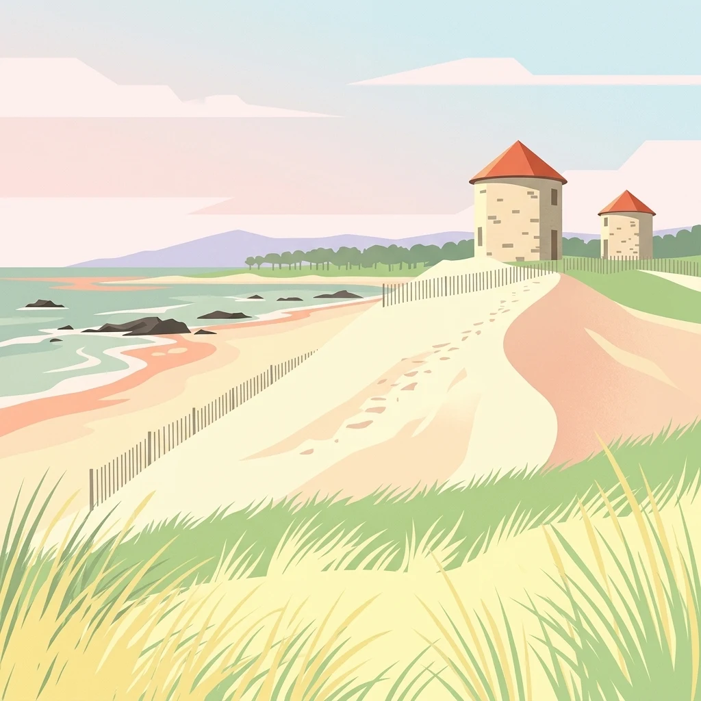
Tracing the estuaries, maritime sand ridges, and coastal wetlands of the Portuguese shoreline.
Natural Features and Coastal Landmarks of Northern Littoral Natural Park
Mapping fluvial and tidal interactions along the Atlantic coast
Rivers
This geographic collection focuses on the rivers and estuarine channels associated with Northern Littoral Natural Park. It provides a structured look at the hydrological features and sediment-rich environments where fluvial systems meet the Atlantic, supporting critical migratory pathways and coastal wetland ecosystems.
Geographic analysis of coastal land-water configurations.
Peninsulas
Examine the specific peninsula formations identified within Northern Littoral Natural Park. This data focuses on the spatial extent and structural role these landforms play in defining the park's unique Atlantic coastline, wetland boundaries, and estuarine environments.
Continue Exploring Northern Littoral Natural Park's Geographic and Landscape Features
Deepen your understanding of Northern Littoral Natural Park by exploring its specific protected landscape features and mapped geographic context. MoriAtlas facilitates structured discovery, enabling you to trace its boundaries and connect it with surrounding natural regions. Continue your atlas journey to grasp the full scope of protected areas and their ecological importance.