England's most remote national park with dark skies, Roman heritage, and expansive moorland
Northumberland National Park
Northumberland National Park occupies a remarkable position at the northern edge of England, forming a vast protected landscape that stretches from the Scottish border to just south of Hadrian's Wall. This extensive tract of roughly 1,050 square kilometres represents approximately one quarter of Northumberland county, making it one of the largest English national parks by area while simultaneously being the most remote from major population centres and the least visited annually.
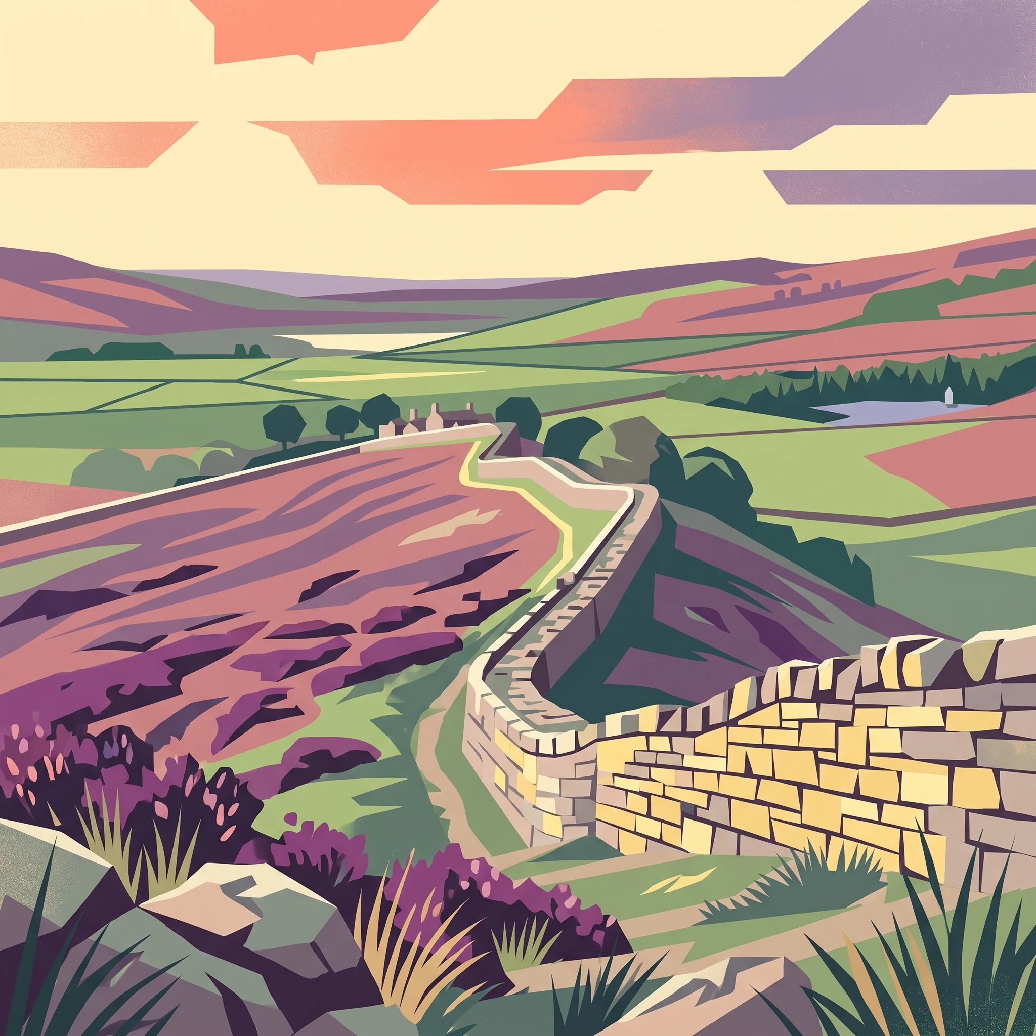
The park's geographical diversity is one of its defining characteristics. The northern section is dominated by the Cheviot Hills, a range of rounded, heather-clad peaks that historically marked the contested border between England and Scotland. These hills, while modest in absolute elevation, create a landscape of considerable wildness and exposed beauty, with deep valleys such as the College Valley providing intimate pockets of terraced farmland and woodland amid the open moor. Moving south, the terrain transitions into extensive areas of rolling moorland, much of which has been planted with coniferous forestry to form Kielder Forest—the largest man-made forest in Europe, surrounding the reservoir of Kielder Water.
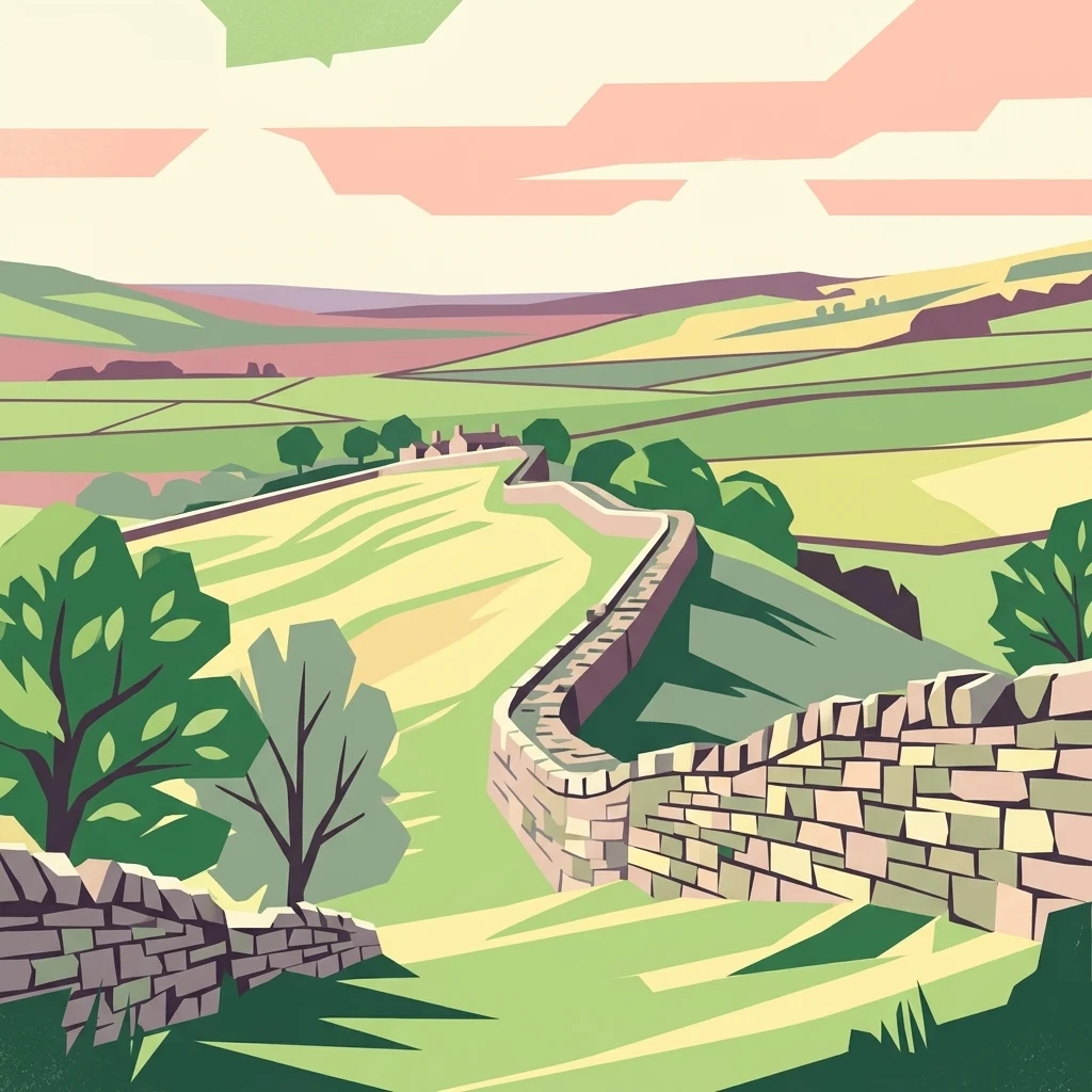
The southern boundary of the park encompasses the most dramatic and visually commanding section of Hadrian's Wall, the Roman frontier fortification constructed between AD 122 to ensure the security of Roman Britain. This UNESCO World Heritage site runs as a limestone crag and stone wall across the landscape, with associated fort sites, milecastles, and vallum earthworks providing a tangible connection to nearly two millennia of human history. The wall's integration into the national park creates a rare superposition of ancient infrastructure and modern conservation, allowing visitors to experience both natural landscapes and historical architecture within a single protected area.
The designation of Northumberland and Kielder as a Dark Sky Park in 2013, the largest such protected area in Europe, reflects the park's exceptional nocturnal environment. Away from the light pollution that affects much of populated Britain, the park's dark skies offer exceptional views of the Milky Way, meteor showers, and celestial phenomena that have become increasingly rare across the continent. This astronomical dimension adds another layer to the park's significance, positioning it as a destination for both terrestrial and celestial exploration.