
Mapping the diverse terrain, geological formations, and forest landscapes across England's northern frontier.
Named Natural Features and Geographic Landforms of Northumberland National Park
Explore a comprehensive collection of named natural features found within, intersecting, or adjacent to the protected landscapes of Northumberland National Park. This index highlights the varied topography of this northern region, including the rolling summits of the Cheviot Hills, the dramatic rocky crags of the Whin Sill, and the expansive coniferous plantations of Kielder Forest. Each entry clarifies the geographic context of these features within the broader park boundary and its historic frontier setting.
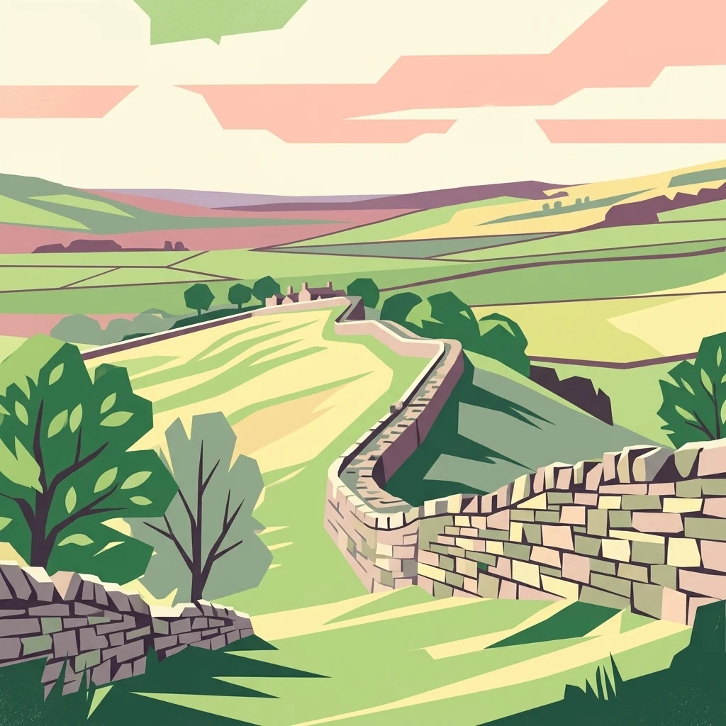
Mapping the summits, rivers, and geological landmarks of England's northern frontier
Named Natural Features and Landforms of Northumberland National Park
Exploration of summit elevations and ridge distributions.
Peaks
Access a structured inventory of named peaks located throughout Northumberland National Park. This reference connects individual summits to their topographic context within the Cheviot Hills and northern moorland systems, offering insight into the park's complex vertical landscape and distinct highland features.
Mapped watercourses within northern England's protected landscapes
Rivers
Investigate the river channels and associated fluvial features throughout Northumberland National Park. The collection highlights how regional drainage systems define the character of valleys and moorland, offering insight into the hydrography of these northern protected lands.
Mapped reservoirs within the northern upland landscape
Reservoirs
This collection features reservoirs located throughout Northumberland National Park, mapping the influence of managed water storage on the local environment. Discover how these engineered basins relate to the surrounding valleys, forestry, and historic terrain.
Topographic low points in the Cheviot Hills
Mountain saddles
Northumberland National Park contains various saddle features that connect its high summits and ridges. This collection provides an atlas-focused view of these specific landforms, detailing their position within the park landscape and their physical role as low-relief boundaries between surrounding peaks and drainage heads.
Continue Exploring Northumberland National Park's Remote Geography and Landscape Atlas
Delve deeper into the structured geographic information and protected landscape context of Northumberland National Park. Understanding this northern frontier's unique terrain, from the Cheviot Hills to Hadrian's Wall, enhances your atlas exploration of Britain's protected areas. MoriAtlas provides the detailed map and geographic insights needed to appreciate the full scope of this significant natural and historical region.