
Mori Atlas logo
Protected landscapeOberes Neckartal

Analyzing the mapped boundaries, forested slopes, and alluvial valley floor of this regional conservation area.

Oberes Neckartal Protected Landscape and River Valley Geography in Baden-Württemberg, Germany

(Landschaftsschutzgebiet "Oberes Neckartal")

Oberes Neckartal encompasses a significant protected landscape stretching along the Neckar river valley near Horb am Neckar in the state of Baden-Württemberg. This area features a distinctive geographic contrast between the open, agriculturally managed alluvial valley floor and steep, densely wooded slopes that characterize the local Obere Gäue natural region. The protected territory incorporates smaller tributary systems including the Hängetal and Langental, forming a vital ecological corridor within the broader Naturpark Schwarzwald Mitte and Nord framework.

Neckar valleyriver valleylandscape protection areaIUCN Category Vprotected landscapeBaden-Württemberg
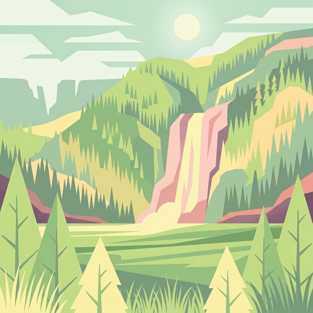
A graphic art illustration showing a scenic valley with pine trees, rolling hills, and a waterfall cascading down a mountainside under a bright sun.

Oberes Neckartal

Protected landscape

Park overview

Structured park overview, official facts, and landscape profile for Oberes Neckartal

Oberes Neckartal park facts, protected area profile, and essential visitor context

Review the core facts for Oberes Neckartal, including designation, size, terrain, visitor scale, habitats, and operating context in one park-focused overview.

About Oberes Neckartal

Oberes Neckartal is a medium-sized landscape protection area in the northern part of Baden-Württemberg, centered on the Neckar river valley upstream of the historic town of Horb am Neckar. The protected area extends along a stretch of the upper Neckar between Horb and Neckarhausen, with deeper ecological and scenic framing provided by the Hängetal and Langental side valleys that branch off the main valley.

Geographically, the area belongs to the Obere Gäue, a natural region characterized by rolling plateaus cut by deeply incised river valleys. In Oberes Neckartal, that pattern is expressed clearly: a flat valley floor used for grassland farming, flanked by steep, often wooded valley sides. The Neckar itself forms the central thread of the landscape, while the Plochingen to Immendingen railway and the Landesstraße 410 run alongside it, giving the valley a long-standing role as a transport corridor as well as a natural one.

The protection framework around Oberes Neckartal is unusually rich. The present-day landscape protection area was designated in 2001, but parts of the same landscape have been under landscape protection since 1938. These older protected areas, such as the Dießental und Teile des Neckar- und Glatt-Tales complex from the former Landkreis Hechingen, were reassembled and reissued by the modern Landkreis Freudenstadt. Additional Natura 2000 value is present through overlap with the Horber Neckarhänge FFH site, and the area sits completely inside the Naturpark Schwarzwald Mitte/Nord, one of the major regional nature parks of the Black Forest.

In the wider conservation geography of the Landkreis Freudenstadt, Oberes Neckartal serves as a connective piece. It borders the Dießental und Teile des Neckar- und Glatt-Tales landscape protection area and the Isenburger Tal landscape protection area, and continues across the Landesstraße into the Ihlinger Berg und Osterhalde landscape protection area, the Osterhalde nature protection area, and the Dießener Tal und Seitentäler nature and landscape protection area. Together, these form a continuous band of protected landscape stretching through the upper Neckar and its tributaries, linking ecological, scenic, and cultural values along one of the defining river valleys of southwestern Germany.

Quick facts and research context for Oberes Neckartal

Oberes Neckartal is a protected landscape area in Baden-Württemberg, Germany, administered by the Landratsamt Freudenstadt and designated on 25 October 2001. It lies on the municipal territory of Horb am Neckar and covers the upper Neckar valley above Horb together with the Hängetal and Langental side valleys. The area is classified as an IUCN Category V Protected Landscape/Seascape and sits within the Naturpark Schwarzwald Mitte/Nord.

Protection and recognition

Terrestrial conservation framework and official protected area records

Oberes Neckartal Protection Status and International Recognition Data

Oberes Neckartal maintains a documented terrestrial protection scope within the global protected area registry. Designated management records and official recognition sources outline the conservation framework governing this landscape.

Protection details

Protection scope
Terrestrial
Transboundary protection
No
WDPA ID
323381
Park context

Deeper park guide and search-rich context for Oberes Neckartal

Oberes Neckartal history, landscape, wildlife, and travel context

Explore Oberes Neckartal through its history, landscape character, ecosystems, wildlife, conservation priorities, cultural context, and seasonal travel timing in a structured park guide built for atlas discovery and search intent.

Why Oberes Neckartal stands out

Oberes Neckartal is best known for its combination of an open, agriculturally used Neckar valley floor and steep, forested valley slopes that form a continuous green corridor above Horb am Neckar. It is also notable for tying together a series of neighboring protected landscape and nature protection areas along the upper Neckar, including the Horber Neckarhänge FFH site, the Dießener Tal und Seitentäler complex, and the Isenburger Tal.
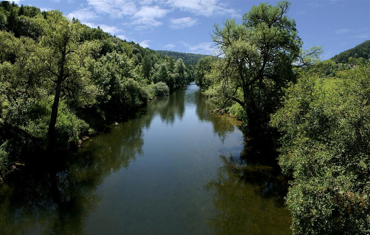
A wide, calm river flowing through a forested valley under a blue sky with scattered white clouds.
The Neckar River flowing through the lush, wooded landscape of the Oberes Neckartal region.

Oberes Neckartal history and protected-area timeline

Protection of the landscape around the upper Neckar valley above Horb am Neckar has a long history. As early as 1938, parts of what is today Oberes Neckartal were placed under landscape protection through the Dießental und Teile des Neckar- und Glatt-Tales ordinance issued by the former Landkreis Hechingen. That older protected area still exists in parts of the modern Landkreis Rottweil and forms part of the historical foundation of today's broader protected landscape.

In the modern administrative period, the area was reconsolidated under the Landkreis Freudenstadt. On 25 October 2001, the Landratsamt Freudenstadt issued a regulation formally designating the present-day Landschaftsschutzgebiet Oberes Neckartal. The 2001 designation brought together the older fragmented protections and added new sections, including the Hängetal and Langental side valleys, into a single coherent landscape protection unit.

Since its designation, Oberes Neckartal has been integrated into larger conservation frameworks. The area lies entirely inside the Naturpark Schwarzwald Mitte/Nord, and portions overlap with the Horber Neckarhänge FFH site, an important Natura 2000 site along the Neckar slopes near Horb. This evolution from a 1938-era landscape protection ordinance to a 2001 landscape protection area within a Natura 2000 network reflects the broader German trend of layering landscape, nature, and European habitat protection on top of older conservation designations.

Oberes Neckartal landscape and geographic character

The defining landform of Oberes Neckartal is the deeply incised Neckar valley itself. The river has cut a comparatively narrow valley with a flat alluvial floor and steep valley sides, a pattern characteristic of the Obere Gäue natural region. The valley floor, where conditions allow, is open and used agriculturally, mostly as grassland, giving long uninterrupted views across the meadows toward the wooded slopes on either side.

Above the valley floor, the slopes rise steeply and are largely forested. This contrast between open valley floor and densely wooded valley sides is the most immediate visual feature of the protected area. Photographs taken along the Neckar between Sulz and Horb, and especially above Horb near Ihlingen, show the same repeated motif: meadow and pasture along the watercourse, with forested terrain climbing sharply on both banks.

The two named side valleys, the Hängetal and the Langental, add further relief and habitat diversity to the protected landscape. These narrower, steeper tributary valleys bring additional woodland, rock exposure, and small-stream habitat into the area, while also creating quiet, enclosed sections away from the more visible Neckar valley itself. The broader landscape context includes the adjacent protected areas of the Dießener Tal and Isenburger Tal, which extend the same valley-and-slope character outward from the core of Oberes Neckartal.

Oberes Neckartal ecosystems, habitats, and plant life

Ecologically, Oberes Neckartal combines a river-valley ecosystem with adjacent slope and side-valley habitats. The Neckar itself, its gravel banks, riparian zones, and the line of wet meadows along the valley floor make up the aquatic and semi-aquatic component of the area. These elements are particularly important for species and habitat types that thrive at the boundary between water, meadow, and forest.

The steep valley slopes carry extensive woodland, much of it forming continuous forest cover that climbs from the riverbank up to the plateau level of the Obere Gäue. This forest matrix links the slopes of the main Neckar valley with those of the Hängetal and Langental, allowing wildlife and ecological processes to move between the main valley and its tributaries. The combination of open grassland on the valley floor, tall wooded slopes, and sheltered tributary valleys creates a layered habitat mosaic within a relatively compact area.

Recognition of this ecological value is reflected in the overlap between Oberes Neckartal and the Horber Neckarhänge FFH site, which is designated under the European Union Habitats Directive. This overlap brings European-level attention to habitats and species tied to the Neckar slopes above Horb and confirms that what is locally valued as a landscape is also a component of the wider European ecological network for protected habitats.

Oberes Neckartal wildlife and species highlights

While the source material does not list specific species in detail, the habitat structure of Oberes Neckartal points to a characteristic mix of river-valley and slope-forest wildlife. The continuous forests on the steep valley sides and in the Hängetal and Langental provide cover for forest-dwelling birds and mammals typical of southwestern German river valleys, while the open grassland along the Neckar offers feeding habitat for meadow species.

The river corridor itself, including the Neckar and the smaller streams running through the side valleys, supports aquatic and riparian species that depend on relatively undisturbed stretches of watercourse and adjacent wetland or meadow zones. Together with the contiguous forests, these features support a vertical layering of habitats from water level up to the upper slopes, which is typical of well-preserved upper Neckar valley environments.

The designation of the Horber Neckarhänge as an FFH site confirms that the slopes of the upper Neckar valley near Horb hold recognized habitat and species value at the European level. This elevates the wildlife significance of Oberes Neckartal beyond a purely local landscape protection framework, placing it within the broader context of habitat conservation in Baden-Württemberg.

Oberes Neckartal conservation status and protection priorities

Oberes Neckartal is fundamentally a conservation designation, established to preserve the visual and ecological character of the upper Neckar valley above Horb am Neckar. Its IUCN Category V status as a Protected Landscape/Seascape reflects a management philosophy that protects scenery, cultural landscape, and biodiversity together, rather than focusing on a single strict nature protection regime. This makes the area an example of integrated, multi-purpose landscape conservation typical of southern Germany.

The conservation significance of the area is amplified by its overlaps and adjacencies. Portions of the protected landscape overlap with the Horber Neckarhänge FFH site, bringing European Habitats Directive recognition to Neckar slopes that were already protected at the local level. At the regional level, the area lies entirely within the Naturpark Schwarzwald Mitte/Nord, placing it inside one of the major nature park frameworks of the Black Forest and aligning its management with broader regional goals.

Layered protection is also evident in the history of the area. Older protections dating from 1938, through the Dießental und Teile des Neckar- und Glatt-Tales landscape protection area of the former Landkreis Hechingen, were carried forward and consolidated into the 2001 designation. The current landscape protection area continues to neighbor several other protected sites, including the Isenburger Tal landscape protection area, the Ihlinger Berg und Osterhalde landscape protection area, the Osterhalde nature protection area, and the Dießener Tal und Seitentäler nature and landscape protection area, ensuring that conservation effort along the upper Neckar and its tributaries operates as a connected system rather than a series of isolated reserves.

Top sights and standout views in Oberes Neckartal

Oberes Neckartal brings together several layers of conservation interest into a single protected valley. Its central feature is the contrast between the farmed Neckar valley floor and the steep, wooded slopes above it, a pattern repeated along the Hängetal and Langental side valleys and visually characteristic of the Obere Gäue natural region.

The area's conservation framework is unusually rich for its size. A 2001 landscape protection designation on top of older 1938 protections, full coverage by the Naturpark Schwarzwald Mitte/Nord, and overlap with the Horber Neckarhänge FFH site together place Oberes Neckartal within local, regional, and European conservation networks at the same time. Its position as a connective landscape between neighboring protected areas along the upper Neckar further strengthens its role as a structural piece of the wider Freudenstadt conservation landscape.

Best time to visit Oberes Neckartal

Oberes Neckartal is an evergreen landscape whose character shifts mainly with the seasons of a southwestern German river valley. Spring and early summer tend to emphasize fresh greenery on the valley slopes and active grassland use on the valley floor, while late summer brings fuller leaf cover in the forests and warm conditions along the river. Autumn produces visible change in the mixed and broadleaf forest on the slopes, with leaf color contrast against the still-green meadows below.

In winter, the open valley floor and bare slopes make the underlying valley structure especially visible, and the riverside landscape takes on a quieter character. Because the area is a working agricultural and forested landscape crossed by a railway and a regional road, access and scenery are possible throughout the year, though weather conditions along a river valley can be changeable. The most rewarding visits generally come in milder seasons when both the open and wooded parts of the valley can be appreciated on foot or from viewpoints along the Neckar.

Monthly climate preview

Review measured monthly temperature swings and precipitation averages across the representative coordinate.

Oberes Neckartal Climate Normals, Long-Term Temperature and Precipitation Preview

Historical records from 1991 to 2020 outline the measured baseline of monthly temperatures and precipitation rates for Oberes Neckartal. Accessing the complete twelve-month profile provides deeper analytical depth for regional climate patterns.
Annual mean8 °C
-1 °C18 °C
Jan-1°
Feb
Mar
Apr
May12°
Jun16°
Jul18°
Aug18°
Sep14°
Oct
Nov
Dec
Warmest month
July

18.1 °C

Coolest month
January

-0.9 °C

Wettest month
July

3.1 mm/day

Driest month
April

1.9 mm/day

Park location guide

Geography guide, regional context, and park location map for Oberes Neckartal

Oberes Neckartal park geography, regions, and map view in Germany

Understand where Oberes Neckartal sits in Germany through a broader geographic reading of the surrounding landscape, nearby location context, and its mapped position within the national park landscape.

How Oberes Neckartal fits into Germany

Germany is a federal republic in Western and Central Europe with a population of over 83 million across sixteen constituent states. It is Europe's largest economy by nominal GDP and a major global exporter and importer. The capital is Berlin, and the country borders Denmark, Poland, Czech Republic, Austria, Switzerland, France, Luxembourg, Belgium, and the Netherlands.

Wider geography shaping Oberes Neckartal in Germany

Germany is located in Western and Central Europe, spanning 357,022 km². It borders Denmark to the north, Poland and the Czech Republic to the east, Austria and Switzerland to the south, and France, Luxembourg, Belgium, and the Netherlands to the west. The country has coastlines on the Baltic Sea and North Sea to the north, with the Alps located in the southern region.

Map view of Oberes Neckartal

Use this park location map to pinpoint Oberes Neckartal in Germany, understand its exact geographic position, and read its mapped placement within the surrounding landscape more clearly.

Pigeon | © OpenStreetMap contributors

Location context for Oberes Neckartal

Baden-Württemberg

Examine the terrain, steep forested slopes, and open meadow valley floor of Baden-Württemberg

Oberes Neckartal Photos and Scenery: Visualizing the Protected River Valley

Visual records reveal the distinctive contrast between cultivated riverside pastures and densely wooded valley slopes across the protected terrain. Examining these photographs helps interpreters understand the topography, river morphology, and habitat diversity defining the upper Neckar corridor.

A wide, calm river flowing through a forested valley under a blue sky with scattered white clouds.

A wide view of a green valley with a foreground of mown hay, lush green fields, and a dense forested hillside in the background under a blue sky with light clouds.

Park atlas

Compare regional river valleys and adjacent conservation areas across the surrounding district

Parks Near Oberes Neckartal and Connected Protected Landscapes

Browsing other protected areas near Oberes Neckartal reveals a broader mosaic of river valleys and forested slopes throughout the region. Expanding the geographic comparison connects individual valley landscapes to wider conservation networks across Baden-Württemberg.
Protected landscapeBaden-Württemberg
About 5 km away#1 closest

Northeast

Südhänge des Neckartales, Berghänge des Haugenloches, Alte Bildechinger Steige, Altheimer Tal und angrenzende Hochflächen

Protected Landscape in the Upper Neckar Valley, Baden-Württemberg

This protected area preserves a mosaic of forested slopes, juniper heaths, and agricultural plateaus along the Neckar. It offers a clear view into the cultural history and regional geography of the Obere Gäue in southwestern Germany.

Area
2.62 km²
Established
1965
IUCN
V
Protected landscapeBaden-Württemberg
About 5.5 km away#2 closest

Southeast

Heselgraben Protected Landscape: Baden-Württemberg Regional Geography and Terrain Mapping

A classic mosaic of meadows and fields in the Obere Gäue region

Heselgraben represents a significant protected area within the Baden-Württemberg state, characterized by its intricate juxtaposition of small-scale agricultural habitats. Located between Muschelkalk and Keuper geological zones, the landscape provides a dense, mapped look at traditional European hedgerow and grassland management along the Empfinger Bach stream.

Area
0.378 km²
Established
1989
IUCN
V
Relief
Upland
Protected landscapeBaden-Württemberg
About 10 km away#3 closest

Southwest

Hachtel und Türnental Protected Landscape: Map, Geography, and Regional Setting in Germany

A traditional Muschelkalk valley and riparian landscape in Baden-Württemberg.

Discover the geographic composition of Hachtel und Türnental, a protected landscape in Dornhan, Baden-Württemberg. This area preserves a fine-grained mosaic of meadows, gallery woodland along the Türnenbach stream, and old fruit orchards that define the traditional rural character of the Obere Gäue plateaus.

Area
0.597 km²
Established
1962
IUCN
V
Protected landscapeBaden-Württemberg
About 13 km away#4 closest

North

Waldachtal mit Seitentälern Protected Landscape and Stream Corridor Map

Regional geography in the northern Black Forest

Waldachtal mit Seitentälern consists of a compact network of four protected valley sections centered on the Waldach river in Baden-Württemberg. The terrain features a mosaic of springs, ponds, and wet meadows, providing critical ecological connectivity between the forested Black Forest plateaus and the adjacent open Gäu uplands.

Area
2.923 km²
Established
1998
IUCN
V
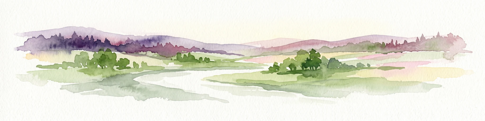
A watercolor painting showing a wide view of a winding river flowing through a lush green valley with distant purple hills and forested ridges.
Protected landscapeLandkreis Tübingen
About 15 km away#5 closest

East

Oberes Neckartal mit den Seitentälern Rommelstal, Starzeltal und Eyachtal Protected Landscape

Geographic landscape analysis of the upper Neckar river valley and its forested tributaries.

Situated within Landkreis Tübingen, this protected landscape is defined by its distinct Muschelkalk geology and the interplay between deep valley slopes and open orchard meadows. The area encompasses the upper Neckar river valley along with the side valleys of Rommelstal, Starzeltal, and Eyachtal. This detailed landscape profile provides insight into the structured natural environment, forest coverage, and fluvial terrain that characterize this region of southwestern Germany.

Area
23.364 km²
Established
1981
IUCN
V
Relief
Upland
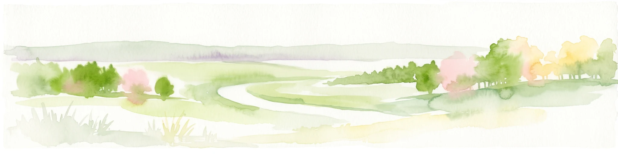
A minimalist watercolor illustration showing a winding river flowing through a soft green landscape with rolling hills in the background and clusters of trees.
Nature reserveBaden-Württemberg
About 16 km away#6 closest

Southeast

Gebiete zwischen Bisingen, Haigerloch und Rosenfeld Nature Reserve and Geographic Context

Fragmented protected terrain in the Swabian Alb foothills

Gain insight into the fifteen separate fragments that constitute this protected nature reserve in Baden-Württemberg. From open limestone meadows to narrow floodplain strips, the area represents a critical mosaic of EU-protected habitat types that demand careful geographic consideration and mapping.

Area
7.53 km²
Established
2019
Protected landscapeBaden-Württemberg
About 18 km away#7 closest

West

Plenter- und Femelwälder Protected Landscape and Central Black Forest Map

Historic selection forests and regional geography near Loßburg

Discover the complex landscape of Plenter- und Femelwälder, a protected area shaped by centuries of Plenterwald and Femelwald silviculture. This region features varied topography across the Grindenschwarzwald and Mittlerer Schwarzwald, offering a detailed look at forest stand diversity and the stream-carved valleys of the Kinzig drainage basin.

Area
9.357 km²
Established
1939
IUCN
V
Relief
Highland
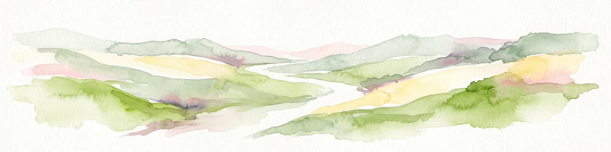
Abstract watercolor illustration of rolling green hills with soft yellow and pink washes and a winding path through a valley
Protected landscapeBaden-Württemberg
About 18 km away#8 closest

South

Neckartal mit Seitentälern von Rottweil bis Aistaig Protected Landscape Map and Regional Context

Protected river valleys and plateau topography in Baden-Württemberg

This protected landscape in Baden-Württemberg features a sequence of twenty dramatic meander loops where the Neckar river cuts 140 meters into the bedrock. The protected area offers a complex geography of steep valley slopes, incised tributary notches, and historic castle-crowned ridges that reveal the evolution of the Obere Gäue terrain.

Area
16.05 km²
Established
1953
IUCN
V

Common questions about visiting, size, designation, and location context for Oberes Neckartal

Oberes Neckartal FAQs for park facts, access, geography, and protected area context

Find quick answers about Oberes Neckartal, including protected-area facts, park geography, trail and visitor context, and how the park fits into its surrounding country and regional landscape.
MoriAtlas Explorer

Continue Your Protected Areas Search Across the Global Atlas

Deepen your exploration by continuing the structured search for national parks and protected areas worldwide. Utilize the comprehensive filtering capabilities to compare different conservation landscapes and refine your understanding of global park geography. Discover more about the distribution and characteristics of protected natural areas.

Global natural geography