
Mori Atlas logo
Nearby park discovery

Map the surrounding terrain and discover protected areas within the regional context

Protected Landscapes and Regional Park Geography Near Ohmden-Holzmaden, Baden-Württemberg

Examine the geographic distribution of protected lands in the vicinity of Ohmden-Holzmaden. This regional view tracks neighboring protected sites and natural habitats within the foothills of the Swabian Alb, mapping how Ohmden-Holzmaden integrates into the broader landscape mosaic of Baden-Württemberg.

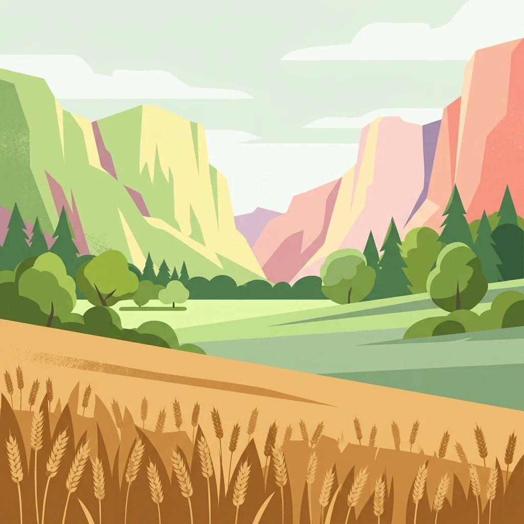
A digital illustration of a valley landscape with golden wheat in the foreground, rolling green meadows in the midground, and layered hills under a pale sky in the background.

A protected mosaic of orchards, meadows, and stream valleys in the foothills of the Swabian Alb.

Ohmden-Holzmaden Landscape Protection Area

Ohmden-Holzmaden is a designated landscape protection area (Landschaftsschutzgebiet) in the Esslingen district of Baden-Württemberg, Germany, covering parts of the municipalities of Ohmden and Holzmaden. The protected area consists of four separate parcels and lies in the foothills of the central Swabian Alb, a transitional landscape between the Alb plateau and the lowlands beyond. The protection order focuses on preserving a varied mosaic of traditional rural habitats, including extensively managed orchards (Streuobstwiesen), meadows, hedgerows, wetland patches, streamside woodland, and forest edges. The protection was established by ordinance on 3 March 1993 and is administered at the district level. Much of the area lies within a broader bird protection zone, and the protected landscape is valued both as a refuge for flora and fauna and as a nearby recreational landscape at the edge of heavily industrialized river valleys. Its purpose combines ecological preservation with the protection of visual landscape character.

Location
Germany
Park type
Protected landscape
Established
1993
Area
3.1 km²
Ohmden-Holzmaden Protected Landscape Geography
Regional park map

See the ranked park cluster in its geographic setting

Nearby parks around Ohmden-Holzmaden Landscape Protection Area

This regional map shows the same 20 nearby parks ranked below around Ohmden-Holzmaden Landscape Protection Area. Select a ranked marker to highlight that park’s boundary where boundary data is available.
Reference park: Ohmden-Holzmaden Landscape Protection AreaRanked nearby park20 nearby parks shown
20 nearby parks

Ranked distance relationships and regional protected landscape comparisons

Parks and Protected Areas Geographically Near Ohmden-Holzmaden

Geographic separation metrics establish a structured ranking of protected areas situated near Ohmden-Holzmaden for comparative spatial analysis. Country context and recorded environmental attributes provide baseline signals for evaluating surrounding regional park geography without implying shared habitats or route access.
Protected landscapeBaden-Württemberg
About 4.3 km away#1 closest

Southeast

Weilheim an der Teck auf Gemarkungen Weilheim und Hepsisau Protected Landscape Atlas

Volcanic hill geography in the Baden-Württemberg region

This protected area safeguards a richly structured landscape where rolling foothills meet the steep escarpments of the Swabian Alb. Centered on the volcanic peaks of Limburg and Egelsberg, the region maintains a vital balance between forest corridors and open agricultural plains within the district of Esslingen.

Area
13.615 km²
Established
1979
IUCN
V
Protected landscapeBaden-Württemberg
About 4.8 km away#2 closest

Northwest

Notzingen Protected Landscape: Mapping the Voralb Foothills and Swabian Alb Terrain

Regional protected area analysis in Landkreis Esslingen

Notzingen represents a coherent protected landscape composed of three parcels near the Swabian Alb foothills. The area is defined by a delicate intersection of stream-side riparian habitats and traditional Streuobstwiesen orchard meadows. This atlas-focused entry provides spatial context for understanding how these protected lands maintain the character of the southern German countryside.

Area
3.15 km²
Established
1989
IUCN
V
Relief
Upland
Protected landscapeBaden-Württemberg
About 5.8 km away#3 closest

East

Wolfschlugen Protected Landscape: Geography and Atlas of the Filder Plateau

Mapped protected lands in Baden-Württemberg Germany

Wolfschlugen stands as a significant protected area in the Esslingen district, preserving traditional orchard meadows and open agricultural plains. The area offers a detailed study of regional land use, featuring a mosaic of meadow habitats and stream-side wetlands essential to the Filder plateau landscape character.

Area
0.51 km²
Established
1985
IUCN
V
A soft watercolor illustration showing a rolling landscape with gentle hills, grassy fields, and tree lines in shades of green, yellow, and faint pink.
Protected landscapeBaden-Württemberg
About 7.1 km away#4 closest

Southeast

Oberes Filstal-Gemeinde Gruibingen: Protected Landscape and Regional Geography

Swabian Alb terrain within the Göppingen district

Oberes Filstal-Gemeinde Gruibingen forms a crucial ecological envelope around specialized nature reserves on the Swabian Alb. The landscape is defined by its characteristic kuppen hill-and-basin topography, featuring ridge slopes, stream-cut valleys, and traditional agricultural land that supports high floristic diversity within the Baden-Württemberg region.

Area
1.71 km²
Established
1984
IUCN
V
A soft watercolor painting depicting rolling green hills and meadows against a white background.
Protected landscapeBaden-Württemberg
About 8.4 km away#5 closest

Southeast

Neidlinger Tal Protected Landscape: Regional Geography and Mapped Boundaries

A study of the Swabian Alb and Alb foreland transition terrain

The Neidlinger Tal protected landscape represents a vital intersection of natural regions in Baden-Württemberg. Its boundaries encompass a mosaic of forest and farmland, providing a comprehensive look at how historical land use patterns coexist with modern conservation efforts within the Swabian Alb, including various bird and habitat protection designations.

Area
10.959 km²
Established
1975
IUCN
V
Relief
Upland
A pale watercolor landscape illustration showing rolling green hills and meadows under a soft yellow sky.
Protected landscapeBaden-Württemberg
About 9.5 km away#6 closest

Southwest

Owen Protected Landscape: A Geographic Analysis of Orchard Meadows and Teckberg Terrain

Baden-Württemberg protected area and regional landscape map

Examine the detailed landscape composition of the Owen protected area, a vital reserve in the Mittleres Albvorland. This atlas entry focuses on the interaction between traditional orchard meadow mosaics, hedgerows, and the abrupt topographical shift toward the Teckberg peak, providing a clear geographic context for this protected natural region.

Area
5.67 km²
Established
1974
IUCN
V
Watercolor illustration of rolling green hills, trees, and wildflowers, with a soft, bright, and light aesthetic.
Protected landscapeBaden-Württemberg
About 11 km away#7 closest

Southeast

Oberes Filstal-Stadt Wiesensteig: Protected Landscape and Regional Geography Mapping

An atlas overview of the Mittlere Kuppenalb landscape mosaic

Covering roughly 171 hectares around Wiesensteig, this protected area serves as a vital component of the central Swabian Alb geography. The site features an undulating karst terrain characterized by a dense forest mosaic, hedgerows, and historic pastoral features. Through its alignment with local Natura 2000 sites, it forms a cohesive ecological bridge between the upper Fils valley and the surrounding high plateau.

Area
1.71 km²
Established
1985
IUCN
V
Relief
Highland
Protected landscapeBaden-Württemberg
About 11 km away#8 closest

West

Wendlingen am Neckar Protected Landscape: Regional Geography and Habitat Connectivity

A structured Swabian countryside mosaic in Baden-Württemberg

This protected area safeguards a unique, fragmented landscape comprising traditional orchard meadows and brookside woodland corridors. Located on the Filder plateau, it acts as a critical ecological refuge, maintaining the transition between settled zones and the natural terrain of the Mittleres Albvorland through long-standing landscape conservation measures.

Area
2.27 km²
Established
1992
IUCN
V
Protected landscapeBaden-Württemberg
About 11 km away#9 closest

Southwest

Tiefenbachtal Protected Landscape: Geographic Boundaries and Regional Terrain Map

Swabian Alb foothill mosaic in the Esslingen district

Investigate the protected landscape of Tiefenbachtal, where gently rolling terrain and stream-cut valleys form a continuous ecological corridor. This record covers the physical geography, meadow and woodland composition, and the broader context of this site within the Baden-Württemberg pre-Alb landscape.

Area
0.35 km²
Established
1958
IUCN
V
Relief
Upland
A watercolor painting showing a soft green landscape with rolling hills, a distant mountain range, and flowering trees.
Protected landscapeBaden-Württemberg
About 11 km away#10 closest

North

Nassachtal Protected Landscape: Geographic Overview and Mapped Terrain in Baden-Württemberg

Conservation geography of the Nassach stream catchment area.

Covering the full extent of the Nassach valley in southwestern Germany, this protected landscape serves as a critical ecological link between forest and agricultural zones. The terrain encompasses a typical Swabian hill country profile with incised stream valleys and wooded ridges, securing natural continuity across the Schurwald and Welzheimer Wald regions.

Area
21.666 km²
Established
1982
IUCN
V
Relief
Upland
Protected landscapeLandkreis Esslingen
About 11 km away#11 closest

Northwest

Wernau (Neckar) Protected Landscape: Geographic Overview and Mapped Cultural Terrain

Landscape protection area within the Landkreis Esslingen region

Trace the boundaries of the Wernau (Neckar) protected landscape, an ecologically significant mosaic of meadow orchards, riparian vegetation, and small woodlands. Situated in the Landkreis Esslingen of Baden-Württemberg, this area functions as a critical buffer zone that maintains the continuity of local habitats between the Filder plain and the Swabian Alb foothills.

Area
2.27 km²
Established
1995
IUCN
V
Protected landscapeBaden-Württemberg
About 11 km away#12 closest

Southeast

Oberes Filstal-Gemeinde Mühlhausen im Täle: Protected Landscape Geography and Map Data

Swabian Alb regional landscape and habitat mosaic

Analyze the protected landscape of Oberes Filstal-Gemeinde Mühlhausen im Täle through its unique physical terrain and ecological structure. This area in the Göppingen district features a complex interplay of river valleys and plateau uplands, creating a habitat corridor that links the Fils valley with the wider Swabian Alb, supporting diverse flora and traditional land-use patterns.

Area
5.13 km²
Established
1983
IUCN
V
A pale, soft-toned watercolor painting depicting a gentle, rolling landscape with green fields, distant hills, and sparse clusters of trees.
Protected landscapeBaden-Württemberg
About 15 km away#13 closest

South

Sommerschafweide hinter dem Hockenden Stein, Auchtweide Protected Landscape and Map

Historic Swabian Alb pasture and geological Kanzel terrain

Discover the geographic layout of Sommerschafweide hinter dem Hockenden Stein, Auchtweide, a protected area in Baden-Württemberg. This site highlights traditional grazed Magerrasen, mature pasture beeches, and the striking geological rock formation known as the Hockender Stein, offering insight into the conservation of the Mittlere Kuppenalb cultural landscape.

Area
0.065 km²
Established
1955
IUCN
V
Relief
Upland
Protected landscapeBaden-Württemberg
About 15 km away#14 closest

Northwest

Unteres Körschtal Protected Landscape: Geography and Mapped Boundaries in Baden-Württemberg

An ecological green corridor within the Swabian Keuper-Lias landscape

Unteres Körschtal protects the natural valley floor and adjacent slopes of the lower Körsch river. This landscape conservation area provides essential habitat and recreational space between the Filder plateau and the Neckar valley, standing as a primary example of regional geography in Germany.

Area
4.729 km²
Established
1978
IUCN
V
Protected landscapeBaden-Württemberg
About 16 km away#15 closest

East

Weigoldsberg Protected Landscape: Mapped Terrain in the Swabian Alb of Baden-Württemberg

A contiguous hill-landscape with integrated Natura 2000 ecological zones

Weigoldsberg functions as a coherent protected landscape unit within the Mittlere Kuppenalb, spanning the transition between upland terrain and the Fils valley. This area integrates near-natural forest, traditional meadow mosaics, and high-value ecological zones such as the Filsalb FFH and Mittlere Schwäbische Alb bird protection area. Gain insights into its relief, land use patterns, and conservation designation.

Area
2.16 km²
Established
1975
IUCN
V
Relief
Mountain
Protected landscapeBaden-Württemberg
About 16 km away#16 closest

Southwest

Neuffen auf Gemarkungen Neuffen und Kappishäusern Protected Area and Regional Landscape

Geography of the Swabian Alb escarpment and riparian zones

This protected landscape defines the visual and ecological character of the area surrounding the Hohenneuffen and Jusi hills. The terrain spans limestone slopes, fruit-bearing orchards, and the Steinach river valley. By integrating local habitat protection with regional biosphere networks, the region serves as a vital transition point between the plateau and the Neckar basin.

Area
13.41 km²
Established
1993
IUCN
V
Relief
Mountain
A horizontal watercolor painting showing soft, rounded green hills and a treeline against a pale background.
Protected landscapeBaden-Württemberg
About 17 km away#17 closest

North

Ottilienberg Protected Landscape: Geomorphological Identity and Regional Mapping

A distinct Keuper outlier hill within Baden-Württemberg

The Ottilienberg protected landscape is a landmark Keuper Zeugenberg situated on the southern outskirts of Schorndorf. This compact area features a striking oak-dominated woodland crest and traditional orchard meadows, serving as a key example of a preserved cultural-historic landscape in southwestern Germany.

Area
0.083 km²
Established
1968
IUCN
V
Relief
Upland
A horizontal watercolor painting depicting a soft-focus landscape with green fields, patches of trees, and rolling hills in the background under a pale sky.
Protected landscapeBaden-Wuerttemberg
About 19 km away#18 closest

Southeast

Nellingen Protected Landscape: Mapping the Cultural and Karstic Terrain of Central Swabia

Protected landscape geography and regional land use

Nellingen Protected Landscape encompasses over 1,500 hectares of the Swabian Alb, forming an essential link in the regional conservation network. This site provides insight into the karstic landforms of the Kuppenalb, including sinkholes and dry valleys, while preserving a living history of agricultural practices such as orchard management and sheep grazing. This analysis provides a structured overview of the area topography and its significance in the regional landscape context.

Area
15.212 km²
Established
1999
IUCN
V
Relief
Upland
Faint watercolor illustration of rolling green hills and a pinkish foreground against a white background.
Protected areaBaden-Württemberg
About 20 km away#19 closest

Northeast

Albtrauf Donzdorf-Heubach: Protected Escarpments and Karst Terrain in the Swabian Alb

Natura 2000 protected area in eastern Baden-Württemberg

The Albtrauf Donzdorf-Heubach site comprises eight protected parcels along the Swabian Alb. Its geography is defined by steep limestone cliffs, dissected valleys, and extensive karst systems that support specialized biodiversity. This protected landscape highlights the complex interaction between Upper Jurassic geological formations and traditional land-use patterns across the Göppingen and Ostalbkreis districts.

Area
25.333 km²
Established
2019
Relief
Highland
Climate
Temperate
Protected landscapeBaden-Württemberg
About 21 km away#20 closest

South

Wolfsschlucht Protected Landscape: Swabian Alb Gorge Geography and Regional Mapping

A key geotope within the central Swabian Alb mountain terrain.

Wolfsschlucht preserves a distinctive limestone gorge and ravine forest system within a compact 1.4 hectare area. Its geography highlights the intersection of karst landforms, steep valley relief, and layered conservation status, serving as a representative model of the central Swabian Alb's geological and ecological character in Baden-Württemberg.

Area
0.014 km²
Established
1955
IUCN
V
Distance methodology

Geographic measurements, not driving distances

How nearby park distances are calculated

Distances use park boundaries whenever the available geometry allows it. When one or both boundaries are missing, the mapped park locations provide a clearly labelled estimate. Every value represents straight-line geographic separation and does not use roads or routing.

Boundary distance

Calculated between the nearest points of both park boundaries.

Location-to-boundary estimate

Estimated from one mapped park location to the nearest boundary of the other park.

Mapped-location estimate

Estimated between the mapped locations of both parks.

MoriAtlas Explorer

Explore the Ohmden-Holzmaden Protected Landscape Map and Regional Terrain

Investigate the unique geographic structure and habitat mosaic of Ohmden-Holzmaden within the Swabian Alb foothills. MoriAtlas provides a clear view of these four distinct protected parcels, helping you understand how traditional orchards and stream-cut valleys shape this essential German landscape.