
A comprehensive geographic index of limestone valleys, karst caves, and carved river gorges.
Named Natural Features and Geological Landmarks of Ojcowski Park Narodowy in Poland
This collection maps the diverse natural features characterizing Ojcowski Park Narodowy, spanning its deeply incised river valleys to the dense karst networks within its Jurassic limestone bedrock. The inventory includes documented geological landmarks, ranging from towering rock pillars and dry side ravines to subterranean cave systems associated with the Prądnik and Sąspówka drainage basins. These identified features provide a structured look at the erosion and tectonic processes that shaped this compact Polish landscape, facilitating precise geographic navigation through the park terrain.
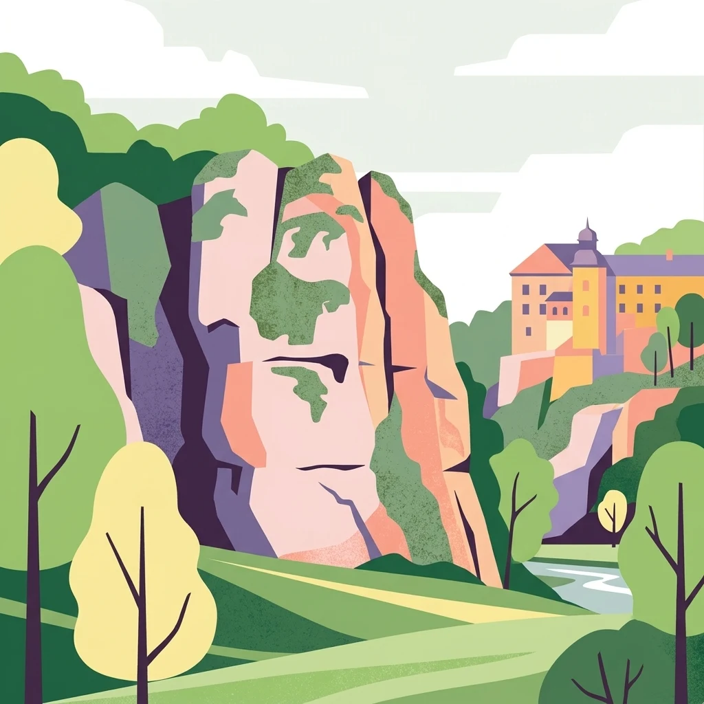
Trace Ojcowski Park Narodowy features through karst valleys, caves, forest, and rivers
Upland valley, cliff, forest, wetland, cave, and karst records in Ojcowski Park Narodowy
Limestone terrain surface connection points
Cave entrances
The limestone geography of Ojcowski Park Narodowy includes numerous cave entrance sites formed by long term dissolution and erosion. This record identifies specific surface openings within the park, providing a clear geographic view of how these natural voids connect to the external environment across the local plateau and valley systems.
Mapped limestone landmarks and karst geography
Rock formations
Explore the collection of named rock formations preserved within the limestone terrain of Ojcowski Park Narodowy. This geographic index tracks individual outcrops and stone massifs that define the valley walls and river gorges throughout this distinct protected upland region in southern Poland.
Mapping water distribution across karst valleys
Streams
Explore the various streams that traverse Ojcowski Park Narodowy, contributing to the erosion and physical complexity of the limestone landscape. These watercourses are integral to the karst valley systems and provide essential context for understanding the regional geography and natural terrain development found within this protected area.
Mapped limestone cliffs and karst terrain data.
Cliffs
An organized overview of identified cliff faces located within the boundaries of Ojcowski Park Narodowy. This collection focuses on the physical geography of exposed limestone bedrock and the erosional processes that created these prominent vertical features within the park's valley network.
Summit geography and landform distribution in Poland
Peaks
Examine the named peaks and elevated landforms located within Ojcowski Park Narodowy. This dataset provides a structured look at the summits that shape the karst topography, limestone plateaus, and deep river valleys of this southern Poland landscape, highlighting the geographic complexity of the region.
Mapping groundwater emergence in a limestone upland
Natural springs
Explore the distribution of natural springs situated within Ojcowski Park Narodowy. This collection focuses on groundwater outlets that emerge from the karst terrain, providing essential context for the park's intricate system of valleys and deep ravines carved into the Jurassic limestone bedrock.
Continue Your Geographic Exploration of Ojcowski Park Narodowy
Examine the intricate topography and karst features of Ojcowski Park Narodowy through the MoriAtlas framework. This dataset provides a structured look at the valleys, limestone outcrops, and protected boundaries that define this landmark in Lesser Poland Voivodeship.