
Why Parc naturel des Deux Ourthes stands out
The park is especially known for the dramatic landscapes of the Belgian Ardennes carved by the Eastern and Western Ourthe rivers. The Rocher du Hérou, a 1,500-meter-long cliff along the Ourthe near Nadrin, is one of its most iconic landmarks, famed for the viewpoint where the river's deep meanders can be seen from five different points. Equally distinctive are the high Ardennes plateaus at roughly 600 meters of altitude, carpeted with heathlands, peat bogs, and coniferous forest. These open, elevated landscapes, including the Plateau des Tailles and the Fagne de Mochamps, give the park its characteristic blend of forested valley and treeless upland scenery that is unusual in Belgium.
Parc naturel des Deux Ourthes history and protected-area timeline
The Parc naturel des Deux Ourthes was officially created on 12 July 2001 by decision of the Walloon Government, as part of Wallonia's broader effort to establish a network of natural parks across its territory. Its designation as a nature park places it within a framework of landscape-scale conservation that emphasizes not only ecological protection but also the management of rural land use, tourism, and local heritage.
Some of the natural sites within the present park had already been protected individually before the formal designation of the nature park. The Rouge Poncé nature reserve in the Mochamps peat area became the second-oldest nature reserve in Wallonia in 1969, marking an earlier phase of focused habitat protection in the region. The later creation of the surrounding natural park effectively built a broader territorial framework around these earlier site-level protections.
The park's history is also tied to older human ambitions in the landscape. The Bernistap Tunnel, located east of Tavigny in the commune of Houffalize, is a surviving relic of a 19th-century canal project intended to link the Ourthe to the Wiltz river, thereby connecting the Meuse basin to the Moselle basin. The project was abandoned, but the tunnel itself survives as a cultural-historical feature now embedded within the natural park's boundaries.
In the 21st century, the park has continued to develop its roles in habitat conservation, sustainable land use, and outdoor recreation, including through its extensive network of marked walking paths and its participation in international bird conservation designations.
Parc naturel des Deux Ourthes landscape and geographic character
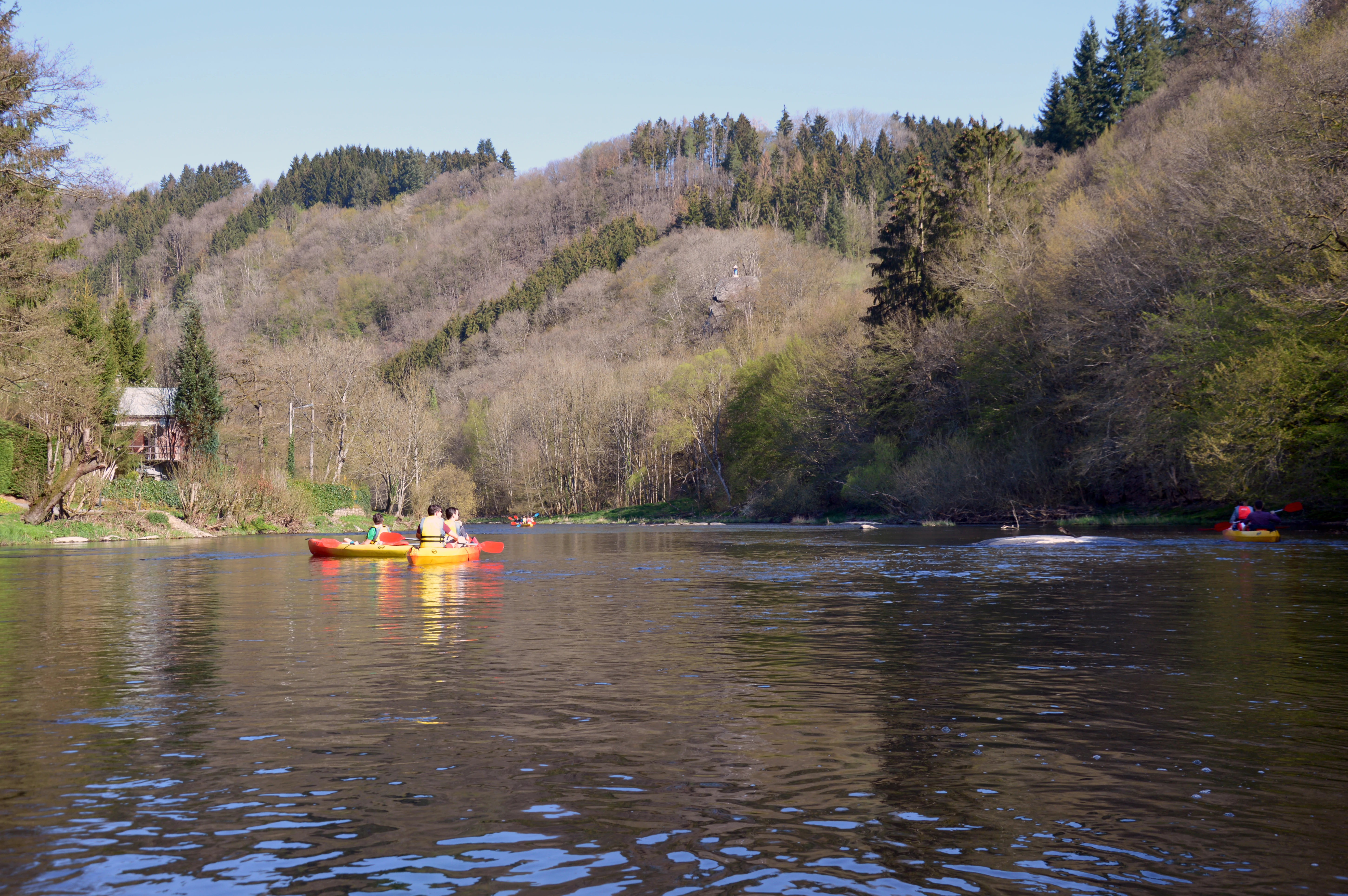
The landscape of the Parc naturel des Deux Ourthes reflects the typical geography of the Belgian Ardennes while also containing several features of particular scenic note. The most visually dominant element is the river system: the meandering Ourthe, particularly at the Rocher du Hérou near Nadrin, forms deep bends around a 1,500-meter-long cliff wall, creating one of the most photographed river panoramas in Ardennes tourism. From the panoramic viewpoint known as the Belvédère des Cinq Ourthes, the river can be seen at five distinct places in a single sweep.
Above the river valleys, the northern and western parts of the park rise to plateaus of around 600 meters in altitude. These high surfaces are not heavily forested; instead, they carry a cover of heaths, peatlands, and wet moor, mirroring in a more limited way the landscape character of the better-known Hautes Fagnes further east. The transitions between river valley, forested slopes, and open high plateau give the park a layered visual character that changes markedly over short distances.
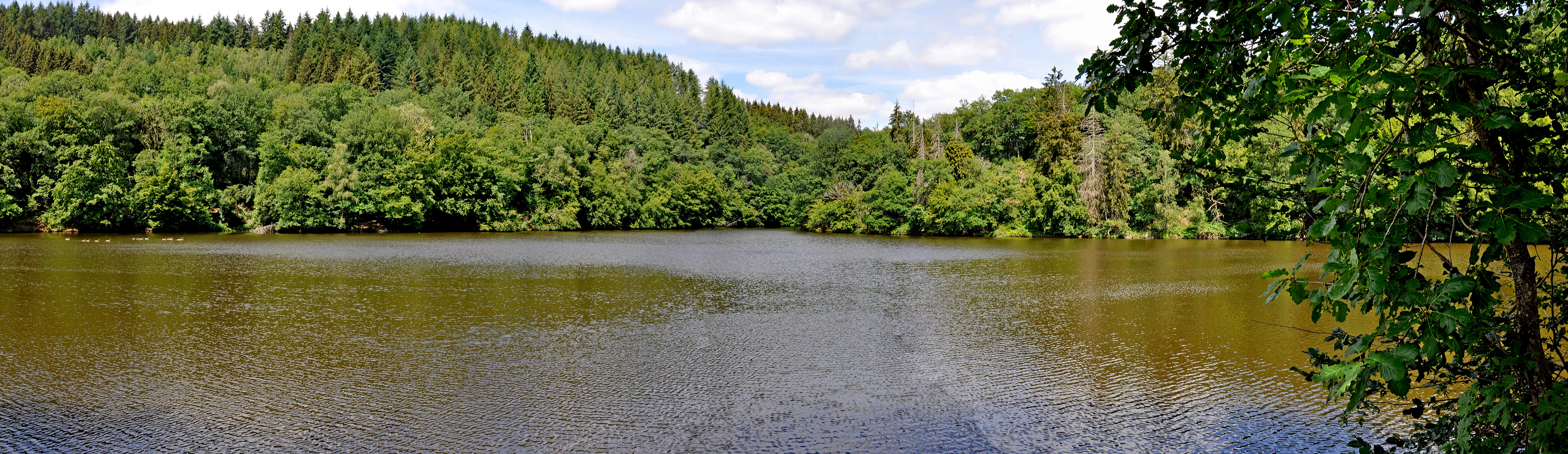
The forested backbone of the park is provided by the Forêt de Freyr, the largest forest massif of the Belgian Ardennes. Within the park, this central forest extends eastward through a chain of wooded areas including the Bois de Herbaimont, Bois Saint-Jean Chanoine, Bois de Cedrogne, and Bois de Ronce. Together with the broadleaf and coniferous forests dominant near Tenneville and Gouvy, these woodlands form a continuous forested matrix that surrounds and connects the more open plateau and riverine habitats.
Parc naturel des Deux Ourthes ecosystems, habitats, and plant life
Ecologically, the Parc naturel des Deux Ourthes sits at the junction of several discrete Ardennes habitat types. In the high northern and western plateaus, the park preserves minerotrophic peatlands and low heath vegetation characteristic of the higher Ardennes uplands. The Fagne de Mochamps, near Tenneville at roughly 550 meters of altitude, is a notable example, containing multiple protected sites including the Rouge Poncé peat reserve.
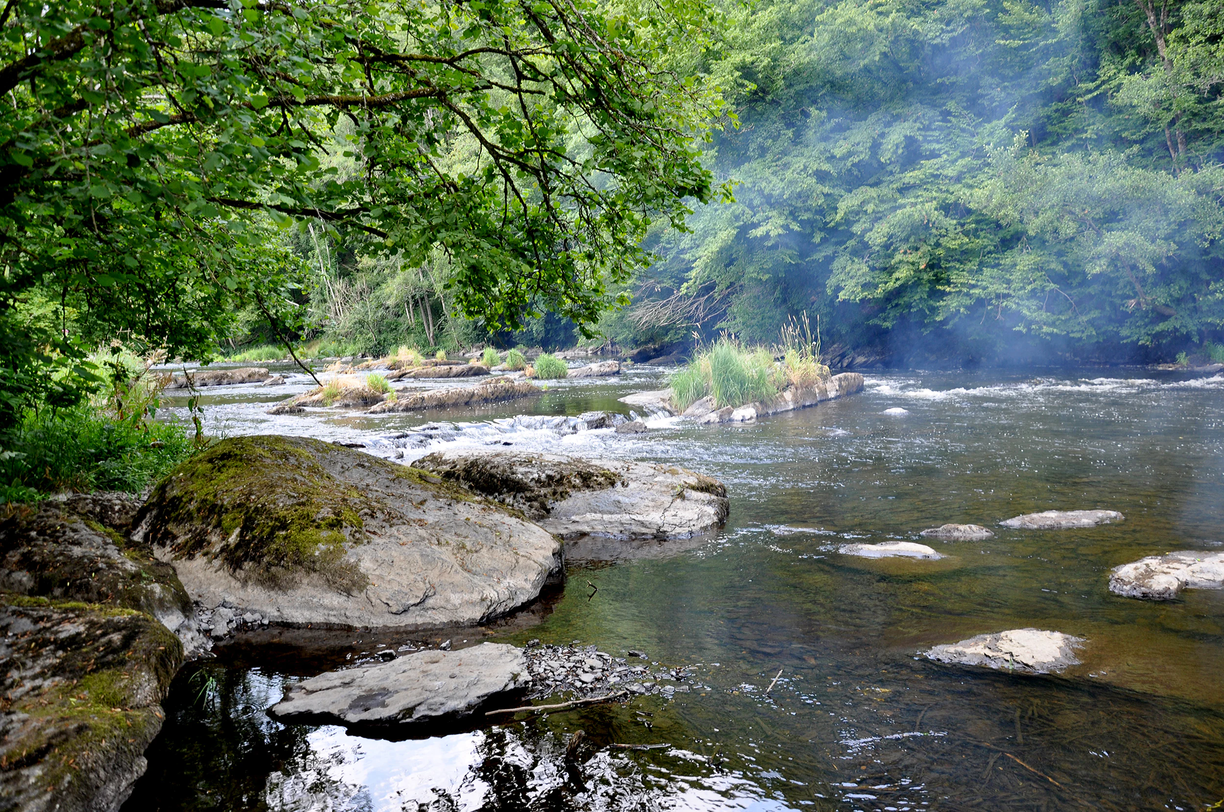
The river valleys support a different ecological register, defined by meandering watercourses, wet meadows, riparian woodlands, and steep cliff habitats such as the rock faces of the Rocher du Hérou. The natural reserve of the Eastern Ourthe covers around 76.5 hectares of such riverine habitat. A wet depression of nearly 18 hectares at the confluence of the Western Ourthe and the Laval, near Sainte-Ode, forms the Orti estate nature reserve, an important mosaic of wetland micro-habitats.
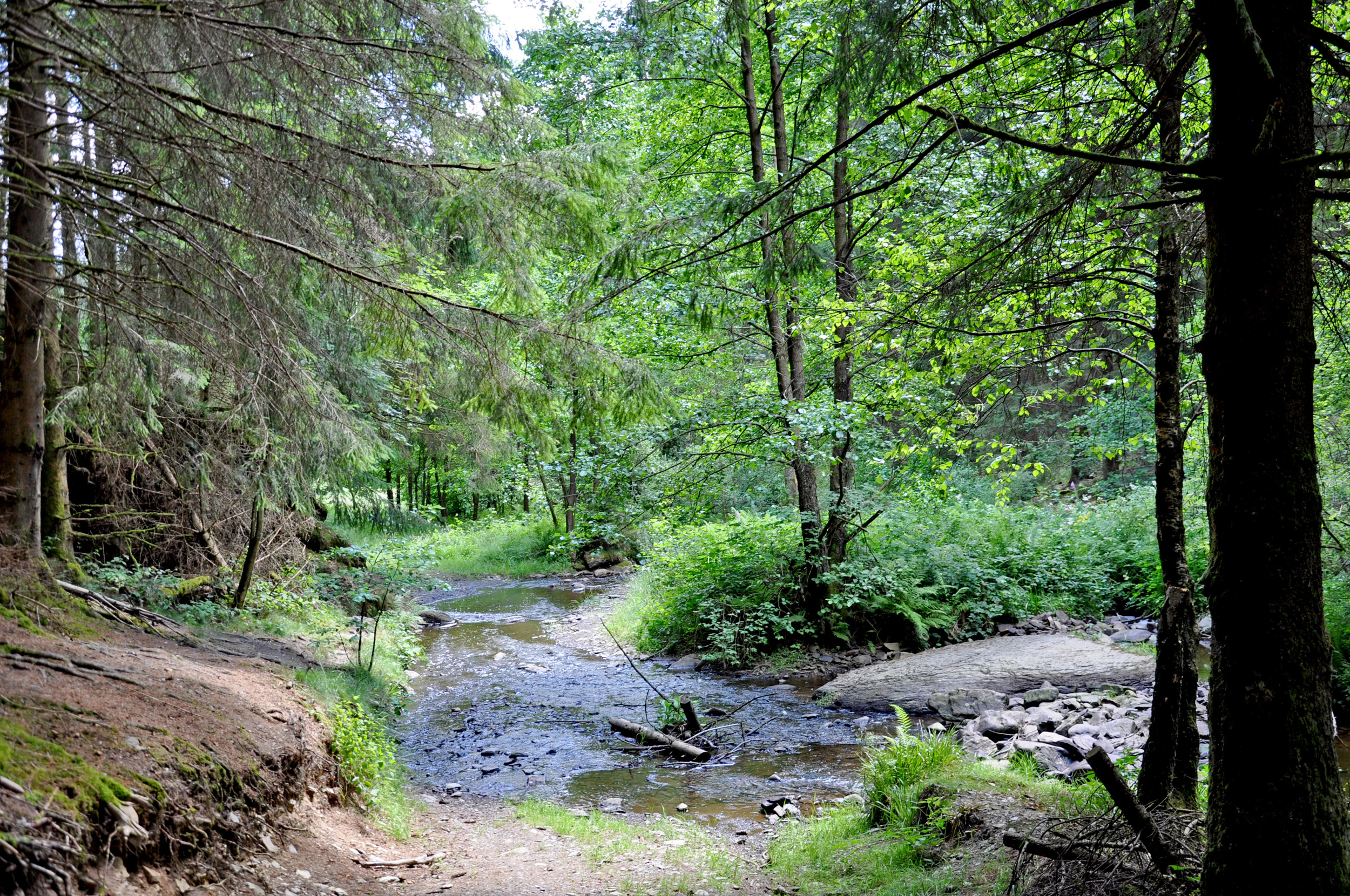
Forests form a third major component, ranging from broadleaf-dominated woodlands in the lower areas to extensive conifer stands that give parts of the park its characteristic High Ardennes appearance. The combined presence of open peatlands, riverine wetland, and extensive connected forest within one protected territory makes the park ecologically distinctive within Wallonia, offering an unusually wide range of Ardennes habitat types in a contiguous setting.
Parc naturel des Deux Ourthes wildlife and species highlights
The wildlife character of the park is shaped by the coexistence of three broad habitat types: open peat plateaus, mixed forests, and meandering river valleys. This mix gives it an unusually broad faunal profile for an Ardennes park. A portion of the park has been formally recognized by BirdLife International as an Important Bird Area, primarily because of the breeding presence of the hazel grouse and the black stork.
The Orti nature reserve near Sainte-Ode is particularly noted for its black stork population, alongside the presence of beavers in the wetland zone at the confluence of the Western Ourthe and the Laval. The wider bird community of the Important Bird Area includes species such as the black kite, hen harrier, Montagu's harrier, osprey, and woodlark, indicating a varied raptor and woodland bird presence across the park's different habitat mosaics.
Mammals typical of Ardennes forests and waterways are present in the more wooded and riverine areas, with beavers specifically noted in lowland wetland reserves. The combination of bird-rich plateaus, forested valleys, and wetland refuges gives the park a notable avifaunal and faunal interest despite the relatively limited scale of individual protected reserves.
Parc naturel des Deux Ourthes conservation status and protection priorities
From a conservation perspective, the park's significance lies in its scale and habitat diversity. The 76,000-hectare territory brings together, within a single coherent framework, ecological assets that were previously protected only at the site level, including the Rouge Poncé reserve and the Orti reserve. This landscape-scale approach is central to the IUCN Category V designation under which the park operates.
The Important Bird Area recognition by BirdLife International underlines the international conservation relevance of the park's bird populations, particularly the hazel grouse and black stork, and provides clear benchmark species for habitat management. The park's peat reservoirs, especially at Mochamps and on parts of the Plateau des Tailles, represent regionally significant carbon-storage and biodiversity habitats, while the meandering Ourthe and its associated wetland reserves protect freshwater and riparian species.
Through its protected landscape framework, the park also plays a broader role in maintaining traditional Ardennes land-use patterns, including extensive forestry, grazing, and low-intensity agriculture, practices that sustain the open heath and grassland habitats on the higher plateaus. This integration of ecological and cultural landscape management is a defining feature of the park's conservation strategy.
Parc naturel des Deux Ourthes cultural meaning and human context
The cultural landscape of the Deux Ourthes area is closely tied to the historical uses of the Ardennes plateau. Forestry, small-scale agriculture, and grazing have long shaped the mosaic of broadleaf and coniferous woodlands, grasslands, and heaths that today form the park's ecological backbone. La Roche-en-Ardenne, the historic town at the edge of the park that the Ourthe passes through before leaving the protected area, has long functioned as a tourism gateway to this Ardennes region.
The Bernistap Tunnel near Tavigny is one of the most distinctive cultural-historical features within the park's boundaries. It dates from an ambitious 19th-century project to link the Meuse and Moselle basins via the Ourthe and the Wiltz. Although the project as a whole was abandoned, the tunnel survives as industrial archaeology and remains a point of interest for visitors exploring the park's broader heritage.
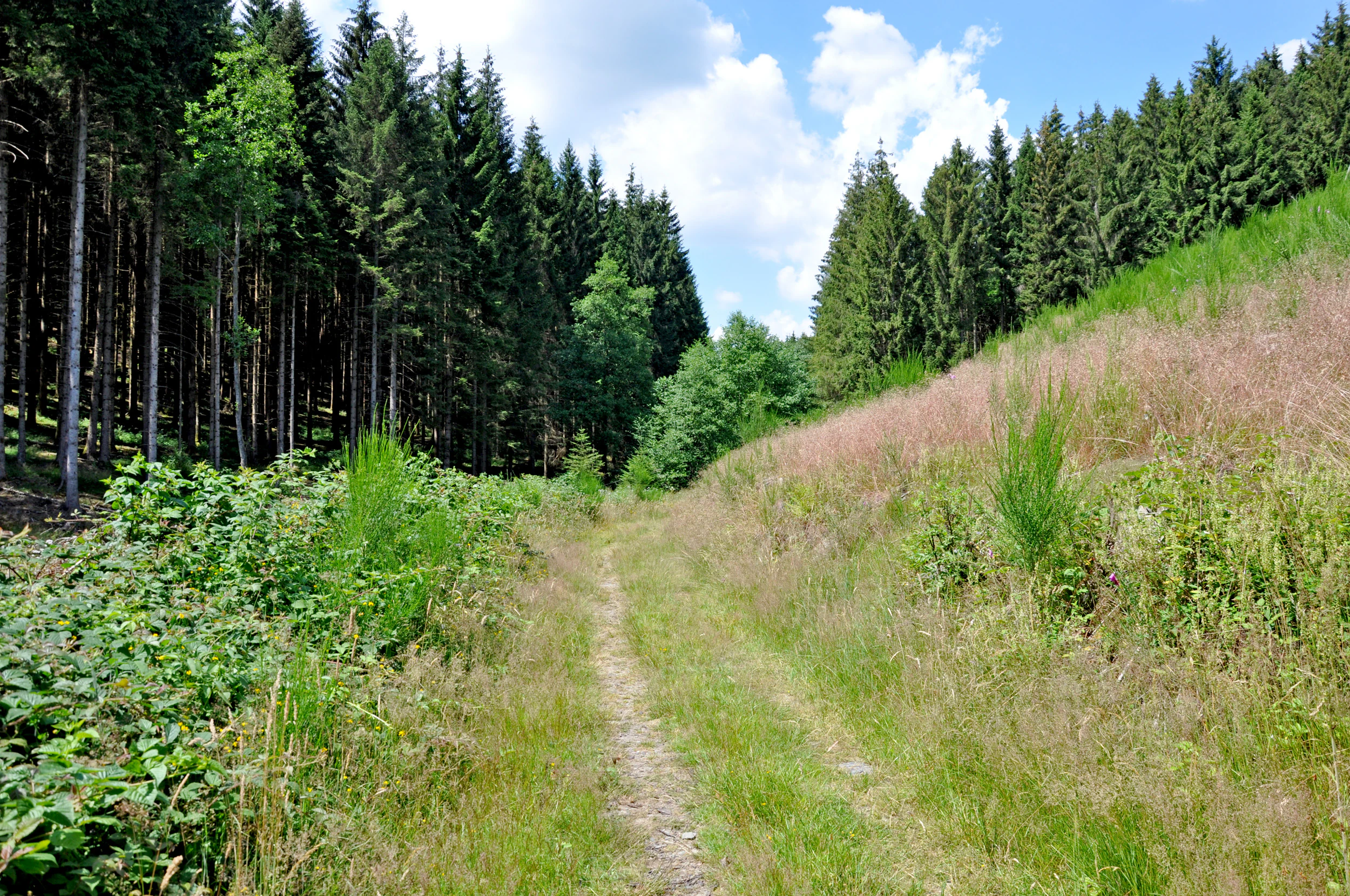
The extensive network of marked footpaths through the park also has cultural significance, as it follows and preserves older rural and forestry routes. Long-distance paths such as the GR57 and the Escapardenne Eisleck Trail reinforce the park's role as a node in the wider Ardennes trail tradition that links Belgian and Luxembourgish communities across the region.
Top sights and standout views in Parc naturel des Deux Ourthes
The Rocher du Hérou and the Belvédère des Cinq Ourthes offer one of the most dramatic Ardennes river panoramas in Belgium, with deep meanders of the Ourthe visible from a single vantage point. The high peat plateaus of Mochamps and the Plateau des Tailles provide rare open upland landscapes in Wallonia, with heaths, peat bogs, and coniferous forests that contrast sharply with the wooded valleys below.
The park also protects some of the largest continuous forests of the Belgian Ardennes through the Forêt de Freyr and its eastward woodland extensions, while the Orti reserve near Sainte-Ode offers a notable combination of wetland habitat and species of conservation interest, including black stork and beaver. The extensive network of marked trails and the presence of recognized long-distance routes make the park particularly attractive for walking-based exploration.
Best time to visit Parc naturel des Deux Ourthes
The park's appeal varies meaningfully with season. Late spring and early summer bring fresh greens to the broadleaf and coniferous forests, the warmest conditions for walking the longer trail circuits, and the most active period for river-based activities on the Ourthe. The combination of flowering forest understorey, full rivers, and long daylight hours makes this a particularly rewarding window for general scenic enjoyment.
Autumn offers a distinct character across the same landscape, with the mixed forests turning color and the open plateaus developing the lower light and cooler atmosphere typical of the Ardennes in fall. This is often considered a strong period for photography and quieter walking. In winter, the higher plateaus can carry snow and the meanders of the Ourthe take on a quieter, more austere appearance, though conditions on exposed peat plateaus and forest trails can be harsher. Spring through autumn broadly offers the most accessible experience for general exploration of the park's full range of landscapes.