
Mori Atlas logo
Park guides

A structured repository of published insights for Britain's foundational upland landscape

Peak District National Park Guide Collection: Regional Landscapes and Seasonal Planning

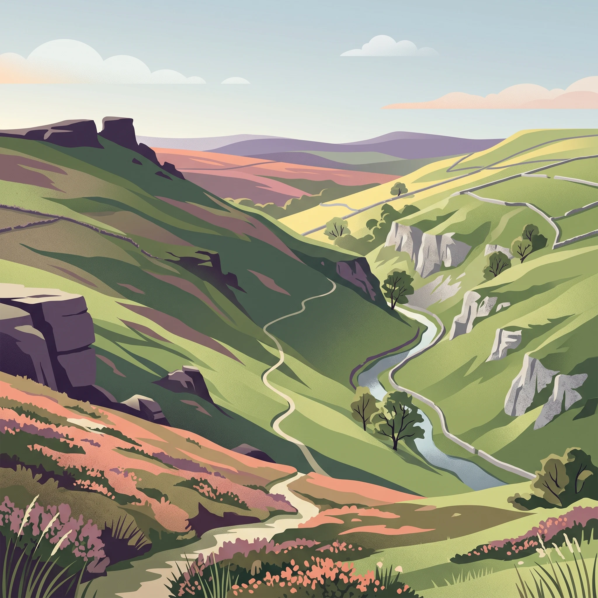
Access a variety of dedicated resources covering the dual-landscape character of the Peak District. These collected guides provide structural insight into the gritstone moorlands of the Dark Peak and the limestone gorges of the White Peak, alongside seasonal considerations for visiting this upland terrain.

Related tags

National ParkUpland LandscapeGritstone MoorsLimestone TerrainHistoric Houses

About Peak District

Peak District

Peak District National Park occupies a remarkable position in the heart of England, surrounded by major industrial cities yet maintaining a landscape of outstanding natural beauty. The park was established under the National Parks and Access to the Countryside Act of 1949, becoming Britain's first national park and setting a precedent for landscape conservation across the country. The designation was influenced by the 1945 Dower Report and 1947 Hobhouse Report, which recommended the creation of national parks to preserve accessible green spaces for public enjoyment. The national park boundaries were drawn to encompass the most scenic and valuable landscape while deliberately excluding built-up and industrial areas. This results in a park that wraps around towns like Buxton and Sheffield while including Bakewell, the only town within the national park, as well as numerous villages such as Castleton, Edale, Eyam and Hathersage. The park authority works to balance conservation with the needs of residents and visitors, managing a landscape that is 90 percent privately owned. Beyond its role as a protected landscape, the Peak District serves as a vital green lung for surrounding urban populations. Approximately 20 million people live within an hour's drive of the park, making it one of the most accessible natural areas in Britain. This accessibility has shaped both the park's cultural heritage and the challenges it faces in managing visitor impact on sensitive habitats.

Location
United Kingdom
Park type
National park
Established
1951
Area
1,440 km²
Highest point
636 m
Peak District National Park Details
1 guide

Compare available reference materials addressing timing, seasonal conditions, and visitor questions.

Published Peak District Park Guides and Focused Travel Planning Resources

Browse the complete collection of published guides created specifically for the Peak District national park landscape. Each resource addresses specific planning questions regarding seasonal timing, daylight conditions, and weather preparedness.
When to Visit Peak District National Park: Seasonal Guide
Peak District Trip Planner

When to Visit Peak District National Park: Seasonal Guide

Determine the best time to explore the gritstone moorlands and limestone valleys of Britain's first national park based on your personal travel priorities.

Planning a trip to the Peak District requires balancing the region's distinctive weather patterns against the specific landscape experiences offered by the Dark Peak and the White Peak. This guide examines the influence of monthly temperature variations, rainfall averages, and daylight fluctuations on accessibility and visitor comfort. By interpreting long-term climate data from the region, visitors can better align their travel dates with their preferences for outdoor activities, such as climbing the gritstone edges or exploring the limestone cave systems that define the area. Evidence-based transitions between seasons provide a framework for managing expectations regarding weather, terrain, and daylight availability throughout the year. While seasonal climate normals offer a reliable baseline for annual planning, actual conditions in the Peak District can be unpredictable and fluctuate significantly between valley floors and exposed moorland heights. Consequently, visitors should treat historical climate patterns as general guidance rather than forecasts for current site-specific conditions. The guide addresses the necessity of verifying local access, path closures, and seasonal regulations with official park authorities to ensure that planned routes and activities remain safe and permissible during the intended travel window.

When to Visit
MoriAtlas Explorer

Continue Mapping the Peak District National Park's Geographic Context

Deepen your understanding of the Peak District National Park by exploring its specific geographic features and protected landscape details. Use MoriAtlas to navigate the mapped terrain and regional context surrounding this significant national park, enriching your comprehension of its place within the United Kingdom's atlas.

Global natural geography