
Mori Atlas logo
Protected areaPrescott National Forest

Mapping the canyons, forested ridges, and wilderness boundaries of central Arizona high country

Prescott National Forest: A Comprehensive Atlas of Arizona Mountain Landscapes and Protected Terrain

Prescott National Forest spans 1.25 million acres of diverse terrain in north central Arizona, serving as a critical transition zone between the Sonoran lowlands and the Mogollon highlands. This protected area encompasses the Bradshaw Mountains, expansive ponderosa pine woodlands, and eight distinct wilderness areas. Users can trace the forest boundaries, understand its role in the Verde River watershed, and visualize the intricate mosaic of mesas, canyons, and granite outcrops that define this central Arizona landscape.

national forestArizonaBradshaw Mountainsponderosa pinepinon juniper woodlandwilderness areas
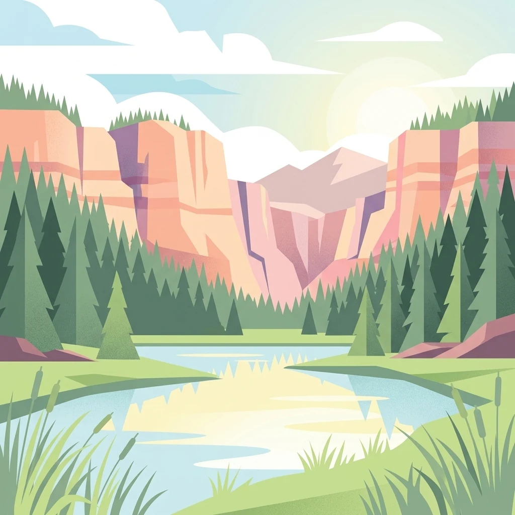
A flat vector illustration showing a calm lake in the foreground with tall reeds, surrounded by a dense coniferous forest and high, layered canyon cliffs under a soft, bright sky.

Prescott National Forest

Protected area

Park overview

Structured park overview, official facts, and landscape profile for Prescott National Forest

Prescott National Forest park facts, protected area profile, and essential visitor context

Review the core facts for Prescott National Forest, including designation, size, terrain, visitor scale, habitats, and operating context in one park-focused overview.

About Prescott National Forest

Prescott National Forest is one of the most geographically distinctive National Forests in Arizona, occupying a broad swath of the state's central highlands. It stretches across the mountains and plateau country between the higher elevations of the Mogollon Rim region and the desert basins of north central Arizona. The forest's terrain transitions through chaparral and scrub at lower elevations into dense stands of ponderosa pine, piñon pine, and juniper higher up, before reaching grassy mountain parks, steep canyon rims, and granite outcrops along the Bradshaw Mountains and surrounding ranges.

Administratively, the forest is managed through three ranger districts that reflect its varied geography. The Chino Valley Ranger District covers the northern portions, the Bradshaw Ranger District manages the southwestern mountains around Prescott, and the Verde Ranger District oversees the southeastern reaches toward the Verde River country. Each district has its own ranger office and local identity, and together they oversee the forest's recreation sites, grazing allotments, wildlife habitat, timber resources, and wilderness management.

The forest serves as a major recreational anchor for central Arizona. Visitors come to Prescott National Forest for developed family camping at sites like Lynx Lake, Mingus Mountain, White Spar, and Potato Patch, as well as for dispersed backcountry camping along forest roads and among its eight designated wilderness areas. These wilderness zones, including Granite Mountain, Sycamore Canyon, Castle Creek, and Juniper Mesa, preserve large tracts of roadless country rich in canyon systems, mesas, and wildlife habitat.

Beyond recreation, Prescott National Forest plays an important ecological and watershed role. Its forested ridges, canyons, and high parks influence water flow into the Verde River system, support habitat for elk, deer, and numerous bird and reptile species, and help maintain the open-space character that defines the Prescott region. It is a working landscape where conservation, grazing, recreation, and forest management intersect across more than a million acres of Arizona high country.

Quick facts and research context for Prescott National Forest

Prescott National Forest is a 1.25 million-acre National Forest in north central Arizona, primarily within Yavapai County with a small portion crossing into southwestern Coconino County. It was first set aside as the Prescott Forest Reserve in 1898, transferred to the U.S. Forest Service in 1906, and formally reorganized as a National Forest in 1907, with later mergers including Verde National Forest in 1908 and Tusayan National Forest in 1934. The forest is divided into the Chino Valley, Bradshaw, and Verde Ranger Districts, with central administration in Prescott. It contains eight designated wilderness areas totaling over 104,000 acres and offers a mix of developed campgrounds, dispersed camping, lakes, and backcountry terrain.

Protection and recognition

Documented management scope and conservation recognition records for Prescott National Forest.

Prescott National Forest Protection Status and Terrestrial Conservation Data

Prescott National Forest maintains a documented terrestrial protection scope across its administrative boundaries. Official records organize international recognition frameworks and conservation status details for structured environmental analysis.

Protection details

Protection scope
Terrestrial
Transboundary protection
No
Park context

Deeper park guide and search-rich context for Prescott National Forest

Prescott National Forest history, landscape, wildlife, and travel context

Explore Prescott National Forest through its history, landscape character, ecosystems, wildlife, conservation priorities, cultural context, and seasonal travel timing in a structured park guide built for atlas discovery and search intent.

Why Prescott National Forest stands out

Prescott National Forest is best known for its rugged Bradshaw Mountain scenery, its extensive pine and juniper woodlands characteristic of central Arizona's transition zone, and its network of designated wilderness areas such as Granite Mountain, Sycamore Canyon, Juniper Mesa, and Pine Mountain wildernesses. The forest is also recognized for Lynx Lake and other high-country reservoirs, its family-friendly developed campgrounds, and its role as a vast recreation landscape surrounding the historic town of Prescott.
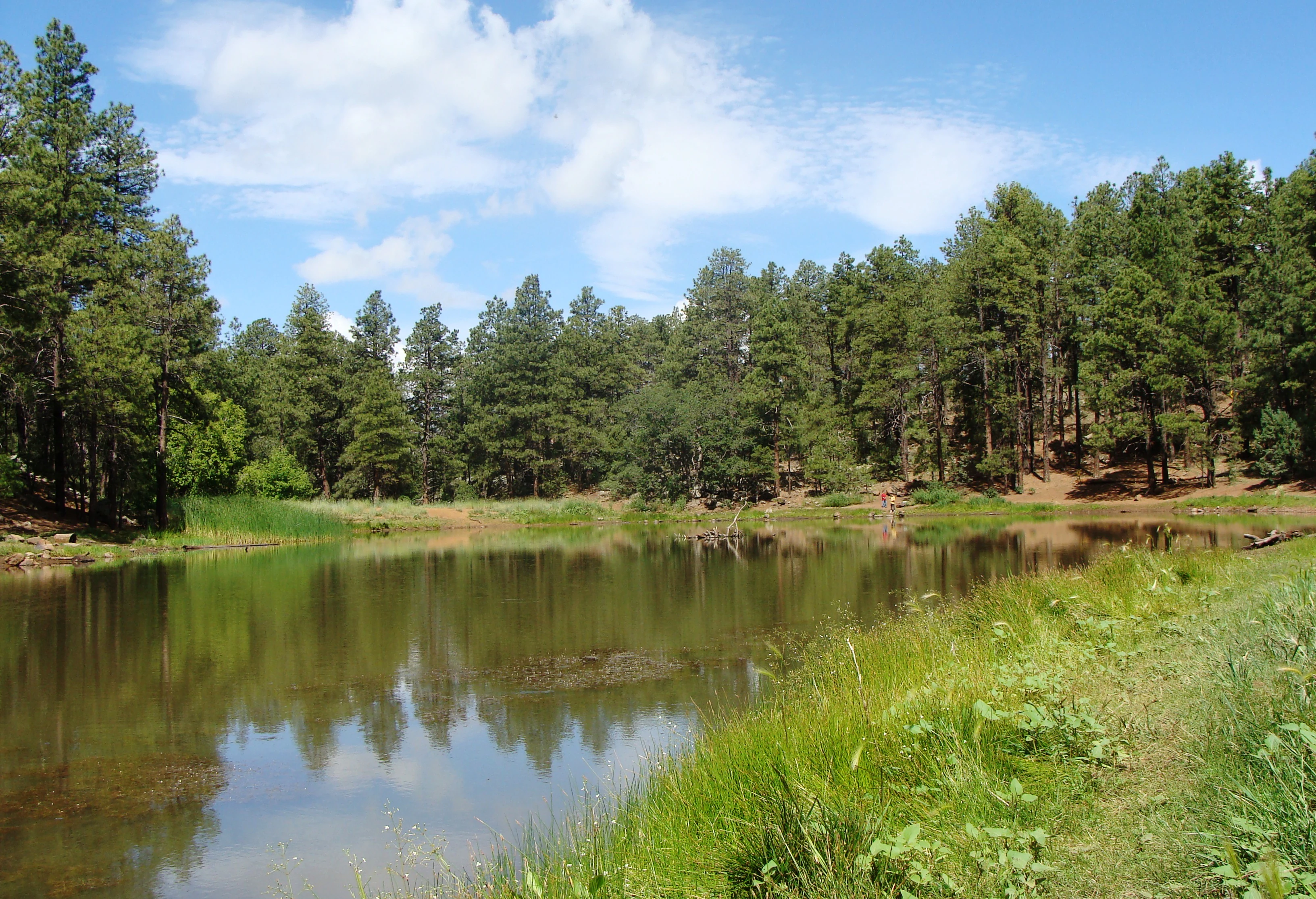
A calm, reflective pond centered in the frame, surrounded by a thick coniferous forest under a blue sky with light clouds.
A tranquil pond surrounded by pine forest in Prescott National Forest.

Prescott National Forest history and protected-area timeline

The history of Prescott National Forest traces back to the late nineteenth century, when growing concern about timber, watershed, and grazing resources led the federal government to set aside forest reserves across the American West. The Prescott Forest Reserve was established on May 10, 1898 by the United States General Land Office, marking the beginning of formal federal protection for the forests around Prescott, Arizona.

In 1906, the reserve was transferred to the newly created U.S. Forest Service, and in March of the following year it was redesignated as Prescott National Forest. The early twentieth century brought consolidation with nearby forest units. On July 1, 1908, the forest absorbed the Verde National Forest, extending its southeastern footprint into the Verde River country, and in October 1934, portions of the Tusayan National Forest were also added, further shaping the forest's boundaries.

Over the decades that followed, the forest's role evolved from an early reserve primarily focused on timber protection to a multi-use landscape supporting recreation, grazing, watershed health, and wildlife conservation. Its administrative structure crystallized into three ranger districts, and successive designations of wilderness areas cemented its long-term importance as a conservation landscape in north central Arizona.

Prescott National Forest landscape and geographic character

Prescott National Forest sits within the geographic transition zone of central Arizona, where the Colorado Plateau meets the Basin and Range country and gives way to mountainous extensions of the Mogollon highlands. The terrain is defined by the Bradshaw Mountains, which rise southwest of Prescott, and by the rolling plateau country, mesas, and canyons that extend into the Verde Rim. The forest spans elevations that climb from chaparral lowlands through woodlands of piñon and juniper into stands of ponderosa pine at the highest sites.

The resulting scenery is a mosaic of steep canyon walls, granite outcrops, grassy mountain parks, dense pine forests, and broad vistas that open over the surrounding desert basins. Rim-rock formations, narrow slot-like canyons, and high chaparral slopes give way to cooler, forested ridges above, producing the kind of rapid ecological change that is characteristic of Arizona's mid-elevation country.

The forest's eight designated wilderness areas highlight many of these landforms. Granite Mountain Wilderness is named after one of the region's most recognizable granite domes, while Sycaricon Canyon Wilderness preserves a long, folded canyon system straddling the boundary with Coconino and Kaibab National Forests. Pine Mountain, Castle Creek, Juniper Mesa, Woodchute, Apache Creek, and Cedar Bench wildernesses each capture distinct combinations of mesa, canyon, forested ridge, and rocky escarpment terrain.

Prescott National Forest ecosystems, habitats, and plant life

Prescott National Forest spans one of the most ecologically varied elevation gradients in Arizona, ranging from warm desert-shrub and chaparral slopes up through piñon-juniper woodlands and into cooler ponderosa pine forests on the highest ridges. This vertical layering creates a rich mosaic of vegetation types, where cactus, scrub oak, manzanita, and grasses give way to juniper and piñon, and ultimately to stands of pine along with aspen pockets and high-country meadows in sheltered draws.

The forest also encompasses important riparian and canyon habitats, particularly along the waterways and tributaries associated with the Verde River system and the larger canyon systems of the wilderness areas. These riparian corridors support dense vegetation cover that contrasts sharply with the surrounding drier slopes, and they play an important role in the regional hydrology and ecological continuity.

Prescott National Forest wildlife and species highlights

Prescott National Forest supports a wide range of central Arizona wildlife thanks to its combination of desert slope, woodland, and pine forest habitats. Mule deer and elk are among the most visible large mammals, using the forest's canyons, ridges, and high meadows for forage and cover. Predators such as mountain lions, coyotes, and bobcats also range throughout the area, while black bears occur in more forested, remote sections.

The woodland and pine zones provide habitat for a diverse bird community, including many species typical of the southwestern mountains. Reptiles, including a variety of lizards and snakes, are common across the lower and middle elevations, and small mammals such as squirrels, foxes, and javelina occupy the mosaic of habitat types. Wetland edges around the forest's lakes and reservoirs, including Lynx Lake, add seasonal habitat for waterfowl and shorebirds, contributing to the overall biodiversity of the region.

Prescott National Forest conservation status and protection priorities

From a conservation standpoint, Prescott National Forest is significant for protecting a large and ecologically diverse swath of central Arizona's high country. Its more than 104,000 acres of designated wilderness preserve roadless terrain, native vegetation, and watershed function in a region where development pressures in nearby Prescott and growing Phoenix metro recreational demand continually test the surrounding landscape.

The forest's wilderness areas safeguard habitat connectivity across canyon corridors, ridgelines, and mesa tops, while the broader forest plays a role in maintaining the health of watersheds that feed the Verde River and other regional drainages. Its long history of multi-use management, including grazing, timber, recreation, and wildlife conservation, makes it an important example of how southwestern National Forests balance competing demands across a steep and variable landscape.

Prescott National Forest cultural meaning and human context

Prescott National Forest surrounds a region long associated with the Territorial-era identity of Arizona. The city of Prescott served as the territorial capital of Arizona in the mid-nineteenth century, and the surrounding forest was among the earliest parts of the Southwest to be set aside as a federal forest reserve, in 1898. The forest continues to define the regional identity of central Arizona, where ranching traditions, recreational small-town culture, and outdoor heritage intersect. Its campgrounds, lakes, and backcountry routes remain closely tied to the everyday life of Prescott and nearby communities such as Chino Valley and Camp Verde.

Top sights and standout views in Prescott National Forest

Prescott National Forest stands out for its dramatic Bradshaw Mountain terrain, its mosaic of piñon-juniper and ponderosa pine woodland, and its collection of eight designated wilderness areas. Popular Lynx Lake and Mingus Mountain campgrounds anchor a strong developed recreation network, while places like Granite Mountain and Sycamore Canyon preserve some of the more rugged and remote landscapes in central Arizona. The forest's combination of accessibility from Prescott, expansive size, and ecological variety makes it one of the most distinctive outdoor landscapes in the American Southwest.

Best time to visit Prescott National Forest

Prescott National Forest is a year-round outdoor landscape, but the most comfortable seasons for general exploration are spring and fall, when mild temperatures make hiking, camping, and scenic drives across the Bradshaw Mountains and around Prescott especially rewarding. Summer brings warm weather at lower elevations but cooler, pine-shaded conditions higher up, such as at Mingus Mountain, and is also a popular time for lake-based recreation at Lynx Lake and other reservoirs. Winter can bring snow to the higher elevations, occasionally affecting access roads, while the lower forest districts remain accessible year-round, making the forest a flexible four-season destination in central Arizona.

Monthly climate preview

Long-term representative temperature and precipitation patterns across twelve monthly cycles

Prescott National Forest Climate Normals and Annual Weather by Month Overview

Recorded baseline measurements for Prescott National Forest outline a multi-month range of average temperatures and shifting daily precipitation volumes. Reviewing the complete monthly climate record reveals deeper variations in temperature extremes and precipitation distributions across the protected landscape.
Annual mean14 °C
4 °C26 °C
Jan
Feb
Mar
Apr12°
May18°
Jun24°
Jul26°
Aug25°
Sep22°
Oct15°
Nov
Dec
Warmest month
July

26 °C

Coolest month
December

3.9 °C

Wettest month
August

1.9 mm/day

Driest month
June

0.2 mm/day

Park location guide

Geography guide, regional context, and park location map for Prescott National Forest

Prescott National Forest park geography, regions, and map view in United States of America

Understand where Prescott National Forest sits in United States of America through a broader geographic reading of the surrounding landscape, nearby location context, and its mapped position within the national park landscape.

How Prescott National Forest fits into United States of America

The United States of America is a federal presidential republic and one of the world's largest countries by area and population. It consists of 50 states across a vast territory spanning multiple time zones, with its capital in Washington, D.C. and largest city in New York City. The nation has a diverse economy, influential political system, and significant cultural and military presence globally.

Wider geography shaping Prescott National Forest in United States of America

The United States occupies a vast territory in North America, bordered by Canada to the north and Mexico to the south. The 48 contiguous states stretch from the Atlantic to the Pacific Ocean, while Alaska occupies the northwestern region and Hawaii is an archipelago in the Pacific. The country encompasses diverse terrain including the Rocky Mountains, Appalachian Mountains, Great Plains, and extensive river systems.

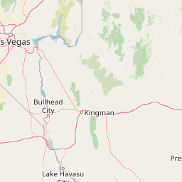
Map view of Prescott National Forest

Use this park location map to pinpoint Prescott National Forest in United States of America, understand its exact geographic position, and read its mapped placement within the surrounding landscape more clearly.

Pigeon | © OpenStreetMap contributors

Location context for Prescott National Forest

ArizonaYavapai County
Recorded earthquake history

Explore the Historical Earthquake Catalogue for Prescott National Forest

Browse the record of seismic events associated by location with Prescott National Forest. This MoriAtlas collection maps historical earthquake data across the central Arizona region, allowing for a clearer understanding of local seismic context through verified, documented activity.

Prescott National Forest Earthquake History

Catalogued events

42 events

Strongest magnitude

Magnitude 4.9

Most recent event

Jul 23, 2023

This history includes earthquakes recorded inside the park or within 50 km of its borders

Visual reference guide for Bradshaw Mountain terrain, pine woodlands, and canyons

Prescott National Forest Photos, Landscapes, and Scenery Visual Explorer

Prescott National Forest images capture the diverse terrain of central Arizona, ranging from rugged granite outcrops to dense ponderosa pine woodlands. Examining these protected area views helps reveal the distinct ecological character and geological formations defining the regional landscape.

A calm, reflective pond centered in the frame, surrounded by a thick coniferous forest under a blue sky with light clouds.

Park atlas

Compare regional geography, surrounding mountain terrain, and connected reserves

Explore Protected Areas and Other Parks Near Prescott National Forest

Browse nearby protected landscapes that share the rugged transition zone of central Arizona and the surrounding high desert. Comparing these regional conservation areas reveals how mountain woodlands, deep canyons, and elevated plateaus connect across the wider territory.
Wildlife reserveYavapai County
Mapped location lies within the park boundary#1 closest

Northwest

Juniper Mesa Wilderness: Geological Landscape and Protected Area Mapping

Essential protected land data in Yavapai County

Juniper Mesa Wilderness protects a rare sedimentary mesa capped by Tapeats sandstone, rising above a vast granite landscape in Yavapai County. This geographic survey highlights the canyon-cut topography and the shifting vegetation zones that characterize the Transition Zone ecology within the Prescott National Forest.

Area
29.97 km²
Established
1984
IUCN
Ib
Relief
Mountain
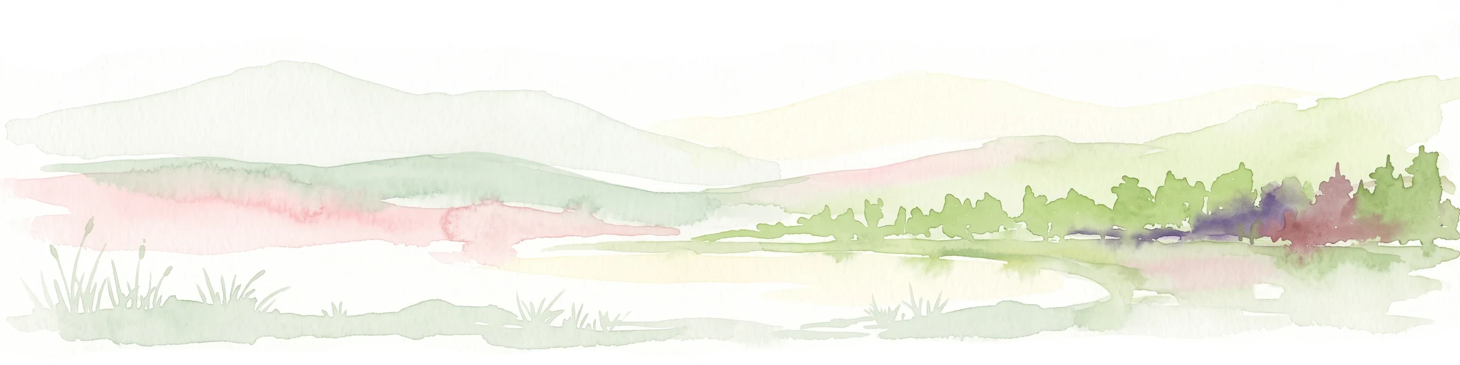
A horizontal watercolor illustration showing a calm lake in the foreground, surrounded by grassy banks, evergreen trees, and rolling mountains in the distance under a pale sky.
Protected landscapeArizona
Park boundaries overlap#2 closest

North

Kaibab National Forest: Protected Plateau Landscapes and Forested Geography in Arizona

High-elevation forest terrain bordering the Grand Canyon

Spanning over 1.6 million acres in Arizona, Kaibab National Forest is characterized by its split geographic configuration, with distinct sections flanking the North and South rims of the Grand Canyon. The terrain ranges from the high-altitude Kaibab Plateau to volcanic uplands near Williams, encompassing four designated wilderness areas and varied forest ecosystems that provide a critical buffer for the surrounding canyon country.

Area
6,500 km²
Established
1909
Relief
Mountain
Climate
Temperate
Protected landscapeArizona
Park boundaries overlap#3 closest

Southeast

Tonto National Forest: Understanding the Geography of an Expansive Protected Landscape

Exploring the vertical ecosystem gradients in Central Arizona

Spanning from arid Sonoran basins to the towering Mogollon Rim, Tonto National Forest offers a unique study in vertical geography and protected land management. This expansive territory provides a vital map of Southwest life zones, encompassing reservoir systems, rugged river canyons, and critical wilderness habitat that define the environmental identity of the region.

Area
11,627 km²
Established
1905
Visitors
5.9M annual
Relief
Mountain
A watercolor painting showing a winding river flowing through a forested valley with gentle hills in the background.
Wildlife reserveArizona
2.3 km away#4 closest

Northeast

Red Rock-Secret Mountain Wilderness: A Geographic Overview of Arizona Protected Lands

Canyon landscapes and high mesa terrain in Arizona

Red Rock-Secret Mountain Wilderness serves as a significant protected block near Sedona, featuring a complex network of slot canyons, natural arches, and sandstone pinnacles. This wilderness area preserves the ecological transition from the high-elevation forested rim down into warmer, arid canyon bottoms, offering a deep look at the geology of the Colorado Plateau edge.

Area
191 km²
Established
1984
IUCN
Ib
Relief
Mountain
Wildlife reserveArizona
5.6 km away#5 closest

Southeast

Mazatzal Wilderness: Geographic Overview of Arizona's Expansive Protected Mountain Terrain

Mapping the ecological transition from desert canyon to forest ridge

Mazatzal Wilderness stands as an essential protected area in central Arizona, covering vast tracts of the Tonto and Coconino National Forests. The landscape is defined by the stark vertical contrast between the low-lying Verde River corridor and the high-elevation forests of the Mazatzal Mountains. This expansive wilderness remains a key study in regional topography and ecological zonation for those exploring the rugged backcountry of the southwestern United States.

Area
1,021.4 km²
Established
1964
IUCN
Ib
Relief
Mountain
A horizontal watercolor illustration depicting a desert landscape with distant purple mountain peaks, rolling green hills, and a winding path, rendered in soft, light colors.
Wildlife reserveArizona
21 km away#6 closest

East

Munds Mountain Wilderness Protected Area and Red Rock Landscape Mapping

Arizona high-desert wilderness and canyon-edge geography

Located southeast of Sedona, Munds Mountain Wilderness encompasses roughly 18,150 acres of dramatic sandstone cliffs and elevated plateaus. This area serves as a key site for observing the convergence of pinyon-juniper woodlands with iconic desert rock formations, providing a clear window into the rugged topography of central Arizona.

Area
73.45 km²
Established
1984
IUCN
Ib
Relief
Mountain
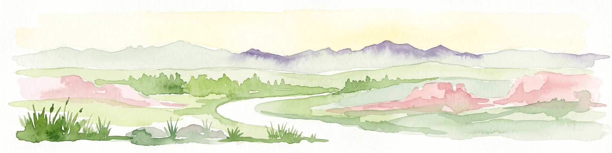
A horizontal watercolor illustration showing rolling green hills and a treeline against a pale sky.
Wildlife reserveArizona
37 km away#7 closest

Northeast

Kachina Peaks Wilderness; Geography and Protected Landscape Atlas of Arizona

High-altitude volcanic terrain and alpine ecosystems

Kachina Peaks Wilderness is a protected area in northern Arizona centered on the San Francisco Peaks. This geography includes the state's highest elevation at Humphreys Peak and a rare volcanic caldera known as the Inner Basin. The terrain transitions from dense mountain forests into an Arctic-Alpine zone, offering a distinct landscape for analyzing mountain evolution and high-elevation ecological patterns.

Area
75 km²
Established
1984
IUCN
Ib
Relief
Mountain
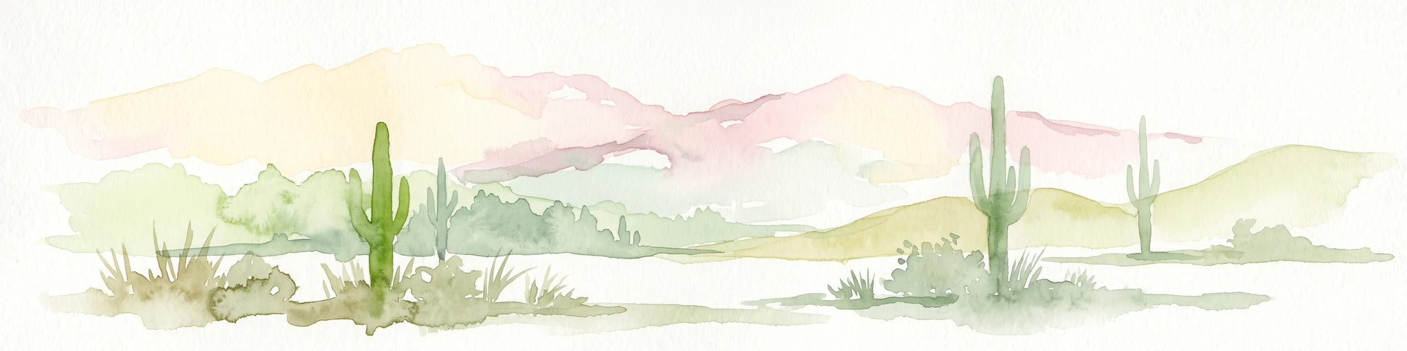
Watercolor painting of a desert scene with rolling hills in the background and saguaro cacti in the foreground.
Wildlife reserveMaricopa County
70 km away#8 closest

Southwest

Hummingbird Springs Wilderness: A Protected Sonoran Desert Landscape in Maricopa County

Rugged mountain terrain and desert wash networks

Spanning more than 31,000 acres, Hummingbird Springs Wilderness serves as a core protected area in the Sonoran Desert. The geography encompasses the Belmont Mountains, providing a stark contrast of arid peaks and sandy basins that extend through western Maricopa County. This roadless wilderness represents an essential connection between adjacent protected lands, maintaining a vast and isolated desert environment shaped by centuries of geological forces.

Area
126.26 km²
Established
1990
IUCN
Ib
Relief
Mountain

Common questions about visiting, size, designation, and location context for Prescott National Forest

Prescott National Forest FAQs for park facts, access, geography, and protected area context

Find quick answers about Prescott National Forest, including protected-area facts, park geography, trail and visitor context, and how the park fits into its surrounding country and regional landscape.
MoriAtlas Explorer

Continue Your Protected Areas Search Across the Global Atlas

Deepen your exploration by continuing the structured search for national parks and protected areas worldwide. Utilize the comprehensive filtering capabilities to compare different conservation landscapes and refine your understanding of global park geography. Discover more about the distribution and characteristics of protected natural areas.

Global natural geography