

Mori Atlas logo
Protected landscapePřírodní park Botič-Milíčov

Examining the meandering stream valleys, alluvial forests, and historic water landscapes of this distinct protected zone.

Přírodní park Botič-Milíčov: A Mapped Protected Landscape and Natural Refuge within the Praha Region

Přírodní park Botič-Milíčov preserves a complex cultural and natural landscape on the southeastern edge of Praha. This protected area safeguards the functioning floodplain dynamics of the Botič and Pitkovický streams, supporting essential wet meadows and broadleaf woodlands. Our mapping provides context for its unique terrain, from the Milíčov forest ponds to the historic mill sites and rocky outcrops of Pitkovická stráň, illustrating a vital intersection of urban development and wild river ecosystems.

natural parkPragueriver valleyfloodplainbroadleaf forestponds

Přírodní park Botič-Milíčov

Protected landscape

Park overview

Structured park overview, official facts, and landscape profile for Botič-Milíčov Nature Park

Botič-Milíčov Nature Park park facts, protected area profile, and essential visitor context

Review the core facts for Botič-Milíčov Nature Park, including designation, size, terrain, visitor scale, habitats, and operating context in one park-focused overview.

About Botič-Milíčov Nature Park

Botič-Milíčov is a nature park on the southeastern fringe of Prague, where the Říčanská plateau meets the valleys of the Botič river and the Pitkovický stream. Established in 1984 and reclassified as a nature park in 1992, it was created specifically to protect the natural character of these valleys and the surrounding forests from the rapid urban growth that has transformed much of south and east Prague. The park stretches from the village of Lipany, where the Pitkovický stream enters the city, down to the confluence with the Botič near the Petrovice housing estate, and continues along the Botič valley to the edge of the Hostivař reservoir.

The Milíčov forest and its associated ponds form a second major component of the park. Located on the border of the vast Jižní Město prefabricated housing estate, this broadleaf forest and its chain of small waterbodies create an unexpectedly wild enclave within a heavily urbanized setting. Together, the river valleys and the Milíčov forest define the essential identity of the park: a network of streams, floodplain meadows, ponds, and woodland that still functions ecologically as a coherent natural system.

The park also carries deep historical resonance. The confluence area near Dobrá voda was once a stopping point for travelling merchants, and two 17th-century watermills once operated here; the larger, Fantův mlýn, survived until a fire destroyed it in 1960, leaving only ruins. Archaeological surveys on a small plateau north of the confluence have uncovered evidence of one of the earliest Neolithic farming settlements in the region, dating to the fifth millennium BCE, with shards of Stichbandkeramik (pointed ceramics) culture. Remnants of an old mill race still lead from the Botič towards the Podzámecký mill in Petrovice, and the surrounding villages of Benice, Pitkovice, Křeslice, and Újezd u Průhonic preserve protected farmsteads and a historic bell tower.

Despite the encroachment of suburban development, particularly the expansion of family housing that has roughly doubled the area of Křeslice in recent years, the park remains a working demonstration of a preserved cultural-natural landscape within a major European capital. A red-marked hiking trail follows the Botič through the entire length of the park, complemented by a 13-panel educational trail called "Povodím Botiče" that was reconstructed in 2008.

Quick facts and research context for Botič-Milíčov Nature Park

Designated as a nature park (přírodní park) in 1984 by the Prague National Committee, Botič-Milíčov is among the oldest such parks in Prague and was reclassified along with all quiet zones in 1992. The park covers roughly 824 hectares within the Prague 4 and Prague 10 administrative districts, extending across the Říčanská plateau and the valley of the Botič river. It includes the Pitkovický stream, the upper reaches of the Botič down to the Hostivař reservoir, and the Milíčov forest with its chain of five ponds. Two specially protected natural monuments are nested within the park: Pitkovická stráň and Milíčovský les a rybníky.

Protection and recognition

Examine documented terrestrial protection metrics and administrative recognition records

Přírodní park Botič-Milíčov Protection Status and Conservation Scope

Přírodní park Botič-Milíčov maintains a defined terrestrial protection scope within its regional conservation framework. Official records compile available management parameters and administrative designations for the protected area without external international listings.

Protection details

Protection scope
Terrestrial
Transboundary protection
No
Park context

Deeper park guide and search-rich context for Botič-Milíčov Nature Park

Botič-Milíčov Nature Park history, landscape, wildlife, and travel context

Explore Botič-Milíčov Nature Park through its history, landscape character, ecosystems, wildlife, conservation priorities, cultural context, and seasonal travel timing in a structured park guide built for atlas discovery and search intent.

Why Botič-Milíčov Nature Park stands out

Botič-Milíčov is best known for preserving functioning river floodplain habitats along the Botič and Pitkovický streams, with meanders and seasonal flooding that sustain wet meadows and alluvial vegetation. It is also recognized for the Milíčov forest and its pond system, a substantial complex of broadleaf woodland tucked between large housing estates, and for the surviving traces of historic watermills and mill races that illustrate the centuries-long human relationship with these watercourses.
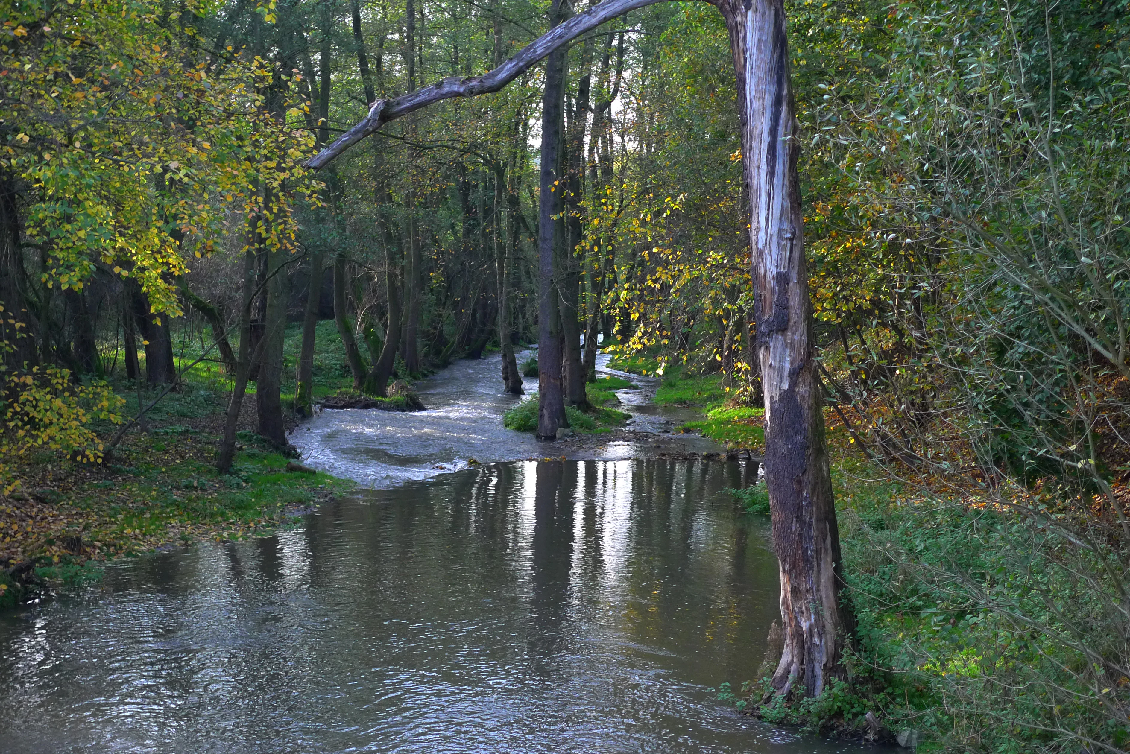
Botic Valley
The valley of the Botic stream

Botič-Milíčov Nature Park history and protected-area timeline

Botič-Milíčov was designated in 1984 by the National Committee of Prague as a quiet zone (oblast klidu), an early form of municipal landscape protection intended to shield natural valleys from urban pressure. In 1992, Prague and other Czech municipalities renamed all such quiet zones as přírodní parky, nature parks belonging to the broader category of generally protected areas whose purpose is to limit human influence on the natural character of the landscape.

Long before any modern designation, the area was shaped by agriculture and industry tied to its streams. The Říčanská plateau above the park was historically farmed, and the surrounding villages of Křeslice, Pitkovice, Benice, and Újezd u Průhonic grew around these agricultural lands. Waterpower played a central role: two watermills were built in the 17th century near the confluence of the Botič and the Pitkovický stream at a place called Dobrá voda, which had earlier served as a way station where travelling merchants watered their pack animals. The larger of these mills, Fantův mlýn, stood until 1960, when it burned down and left only ruins behind. A 17th-century mill race continued to channel water from the Botič downstream toward the Podzámecký mill in Petrovice.

Archaeological investigation north of the confluence revealed remains of a Neolithic settlement dating from around the fifth millennium BCE, one of the earliest farming communities in the region. Artifacts of the Linear Pottery (Stichbandkeramik) culture were recovered before the site was built over with modern housing. In the contemporary era, the surrounding agricultural land has increasingly been sold for family housing developments, substantially altering the edges of the park and reshaping the historical setting of its villages.

Botič-Milíčov Nature Park landscape and geographic character

The landscape of Botič-Milíčov is defined by shallow stream valleys cut into the generally flat Říčanská plateau. The Botič and the Pitkovický stream, also known as the Vinný potok, flow through relatively flat terrain in shallow beds, producing the broad floodplain meadows for which the park is known. Periodic flooding deposits sandy-clay sediments along the rivers, and these are visible in the eroded, sometimes steep banks of the Botič. The confluence area around Dobrá voda is a low-lying widening of the valley where the two watercourses meet.

The underlying geology consists primarily of slates and greywackes of the Štěchovice group from the Precambrian era, overlaid by clay deposits that support rich vegetation. In the valleys, sandy-clay and clay sediments accumulate and weather visibly along the riverbanks. By contrast, the Milíčov forest lies on a gently sloping plateau with Proterozoic slates covered by weathered material and alluvial deposits, and cambisols dominate its soils. A natural rocky outcrop, the Pitkovická stráň, exposes blue-grey clay slates and slope loams at the surface. The Milíčov pond system adds another textural element to the landscape, with five small waterbodies arranged along the Milíčovský potok across a gently undulating terrain.
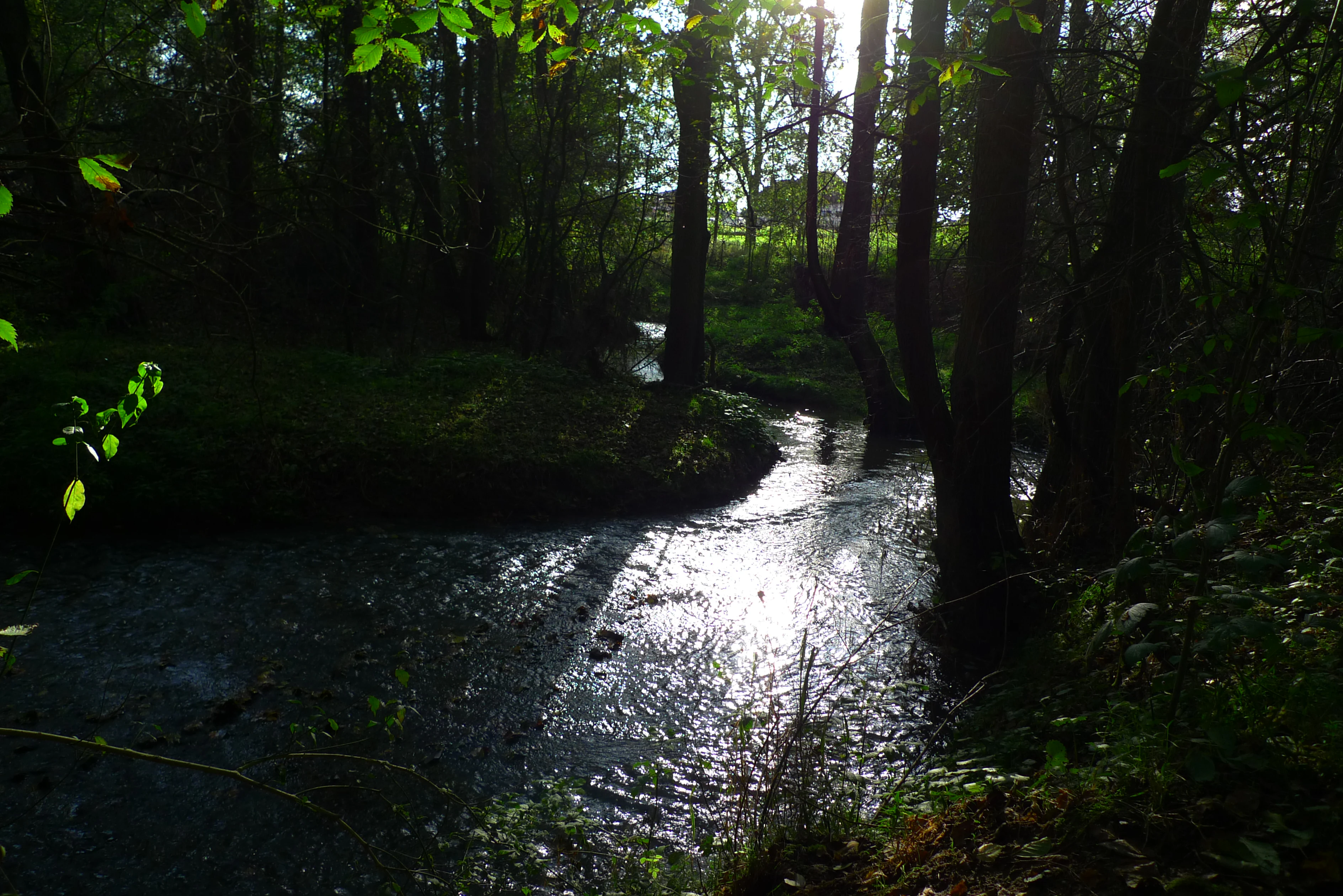
Pitkovicky Stream
The valley of Pitkovicky Stream

Botič-Milíčov Nature Park ecosystems, habitats, and plant life

Ecologically, Botič-Milíčov is significant for its preserved valley floodplain biotopes, which are regularly reshaped by seasonal flooding and remain functional despite their proximity to major housing estates. Wet meadows, such as the distinctive marsh marigold meadows in the Milíčov protected area, support a community of sedges and grasses, while along the streams and on drier, warmer slopes, closed-canopy broadleaf woodland has persisted.

The Milíčov forest represents a substantial complex of deciduous woodland dominated by oak (Quercus) and hornbeam (Carpinus betulus), with species such as greater stitchwort (Stellaria holostea), wood bedstraw (Galium sylvaticum), and liverleaf (Hepatica nobilis) on the forest floor. Stream edges are lined with small-leaved lime (Tilia cordata), black alder (Alnus glutinosa), grey willow (Salix elaeagnos), alder buckthorn (Frangula alnus), European spindle (Euonymus europaeus), and bird cherry (Prunus padus). Spring brings lesser celandine (Ficaria verna), yellow star-of-Bethlehem (Gagea lutea), and common toothwort (Lathraea squamaria) to damper microsites, while meadow crane's-bill (Geranium pratense), perforate St John's-wort (Hypericum perforatum), and small-flowered touch-me-not (Impatiens parviflora) thrive in lighter areas.

The park also carries conservation challenges. Artificial plantings of black locust (Robinia pseudoacacia), Norway spruce (Picea abies), and black pine (Pinus nigra) have established stands within the park, while black locust in particular is invasive, releasing toxins that suppress native vegetation and converting the natural character of the floodplain biotopes. The Pitkovická stráň outcrop is a specialized dry-grassland habitat that requires active management, including regular mowing, to prevent encroachment by shrubs. Two protected memorial oaks, the oaks on the Homolka pond dam and the boundary oak near the former smithy in Pitkovice, anchor the park's dendrological heritage.
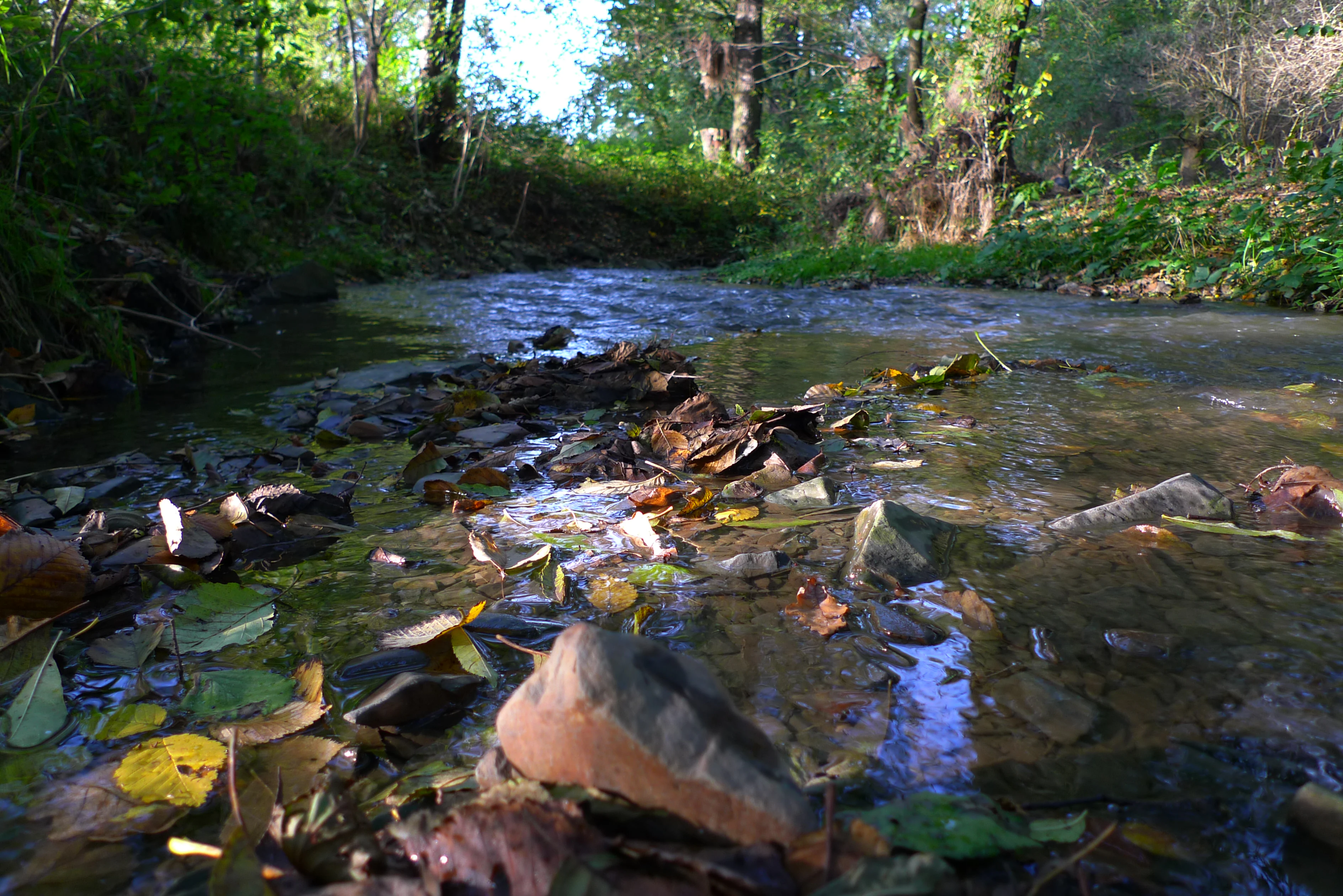
Botic Valley
The valley of the Botic stream

Botič-Milíčov Nature Park wildlife and species highlights

The park supports a varied fauna despite its location within a major urban area. Invertebrates are notably diverse: the European stag beetle (Lucanus cervus) and the smaller Calosoma inquisitor ground beetle are present in the forests, along with Ophonus puncticollis ground beetles. Butterflies include the Old World swallowtail (Papilio machaon) and, more notably, the increasingly rare Danube clouded yellow (Colias myrmidone). The spider fauna includes members of the Dictynidae and Salticidae families.

Amphibians and reptiles thrive in the wetter zones, with grass snakes (Natrix natrix) recorded alongside several frog species. The recovering water quality of the streams has allowed brown trout (Salmo trutta morpha fario) to return to the Botič and Pitkovický stream, and the native noble crayfish (Astacus astacus) has reappeared. The park's ponds and stream edges are rich in nesting waterbirds, with mute swans (Cygnus olor), tufted ducks (Aythya fuligula), little grebes (Tachybaptus ruficollis), common moorhens (Gallinula chloropus), and little ringed plovers (Charadrius dubius) breeding locally. Forest birds include the collared flycatcher (Ficedula albicollis) and middle spotted woodpecker (Dendrocopos medius), while typical songbirds of the surrounding open habitats include common linnet (Carduelis cannabina), European goldfinch (Carduelis carduelis), and European greenfinch (Carduelis chloris). Among mammals, the yellow-necked mouse (Apodemus flavicollis) occurs in the woodland.
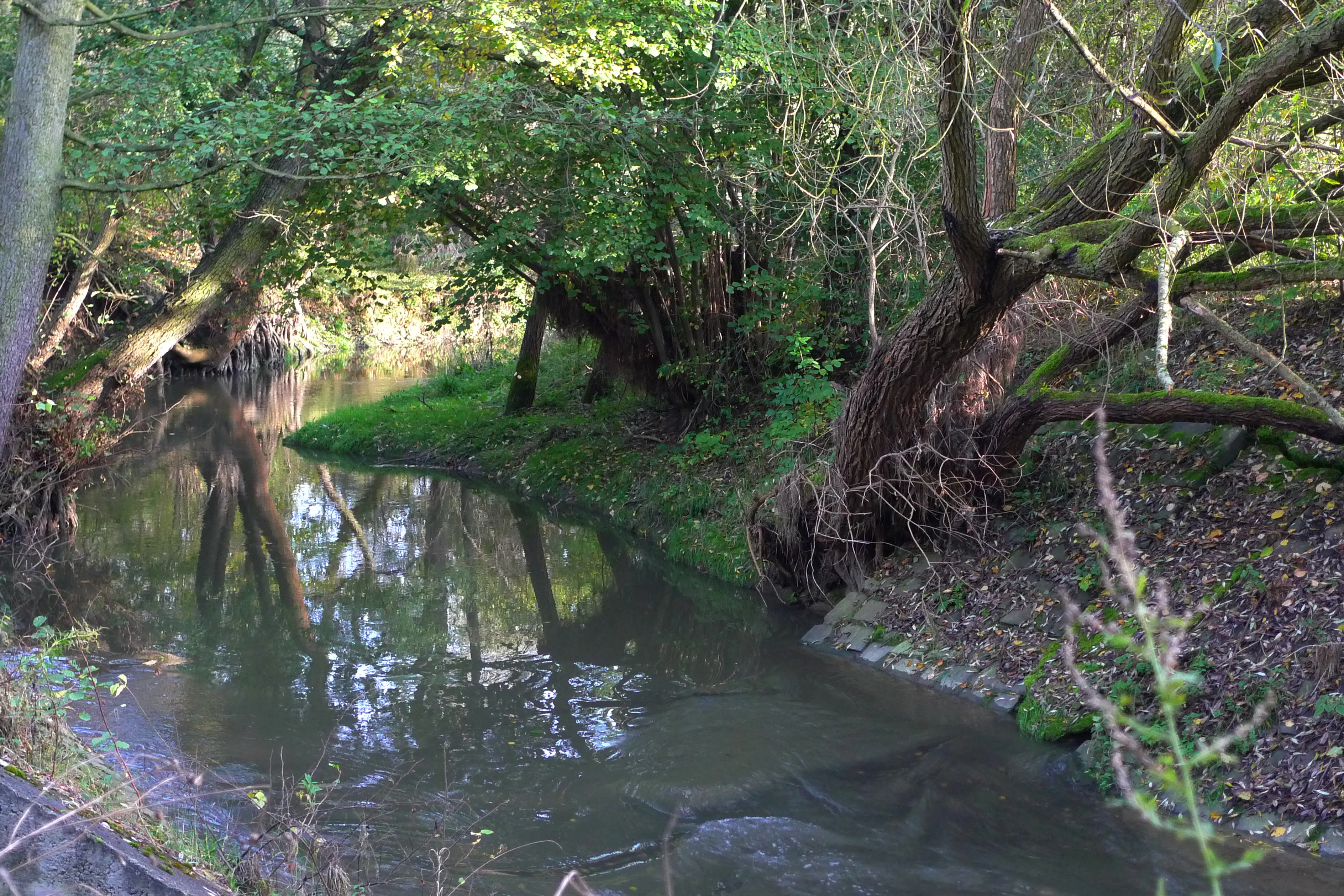
Botic Valley
The valley of the Botic stream

Botič-Milíčov Nature Park conservation status and protection priorities

The primary conservation objective in Botič-Milíčov is the protection of the floodplain biotopes of the naturally meandering Botič and Pitkovický streams, along with the deciduous forests that have survived the surrounding urbanization. The floodplain meadows depend on periodic flooding and on continued suppression of invasive tree species, particularly black locust, which alters soil chemistry and displaces native flora. The Pitkovická stráň, a designated natural monument, harbors protected plant species including the meadow pasqueflower (Pulsatilla pratensis) and Bohemian star-of-Bethlehem (Gagea bohemica), and requires regular mowing to prevent shrub encroachment.

Within the broader park, active management targets invasive plantings: black locust, Norway spruce, and black pine are viewed as threats to the original landscape character of the valley floodplains and are scheduled for removal to allow native vegetation to recover. Conservation law prohibits new construction in the park except for facilities serving nature protection or for reducing the risks of ecological and natural disasters. The park's two embedded natural monuments, Pitkovická stráň and Milíčovský les a rybníky, carry the highest level of legal protection and anchor the broader landscape protections of the surrounding přírodní park.

Botič-Milíčov Nature Park cultural meaning and human context

The Botič-Milíčov area carries a multilayered human history that is unusually well-preserved within a modern metropolis. The site near the confluence of the Botič and the Pitkovický stream, known as Dobrá voda, was historically a stopping point for merchants and pack animal drivers, and later became the location of two 17th-century watermills. The larger mill, Fantův mlýn, survived into the 20th century before being destroyed by fire in 1960, leaving only stone remnants.

Archaeological evidence documents some of the earliest agricultural settlement in the region: a Neolithic farming community dating from the fifth millennium BCE lived on a small plateau north of the confluence, leaving pottery shards characteristic of the Stichbandkeramik culture before the site was eventually built over. Historic rural architecture still defines much of the park's edge, with protected structures including the Pitkovice manor farm, the bell tower in Pitkovice, the Koníčkův mlýn in Újezd u Průhonic, and the Štít farmstead in Křeslice. Together with the surviving segments of old mill races, these features make the park a representative fragment of Prague's traditional cultural landscape of villages and mills.
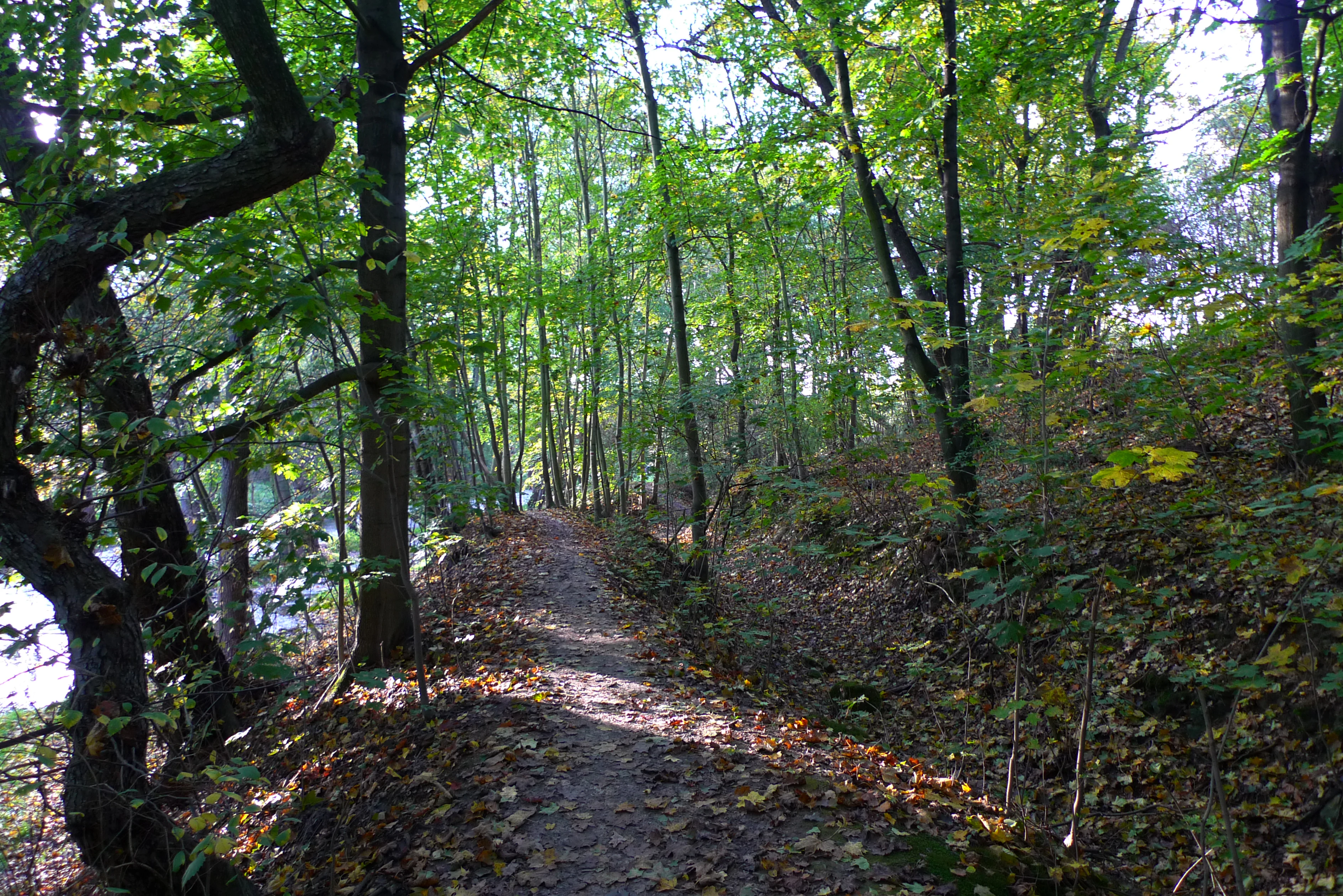
Mill race
The mill race leading to the Podzamecky mill

Top sights and standout views in Botič-Milíčov Nature Park

The park's strongest points of interest are the meandering floodplain valleys of the Botič and Pitkovický streams, the Milíčov forest with its chain of five ponds on the edge of Jižní Město, and the protected dry-grassland slopes of Pitkovická stráň. The picturesque confluence area at Dobrá voda combines archaeological, watermill, and natural history interest, while the educational trail "Povodím Botiče" provides accessible interpretation along thirteen panels through the valley. The Milíčov forest is perhaps the most visitor-friendly zone, equipped with gazebos and resting spots, a small minizoo for children, and the elevated vantage point of Milíčovský vrch overlooking the surrounding ponds.
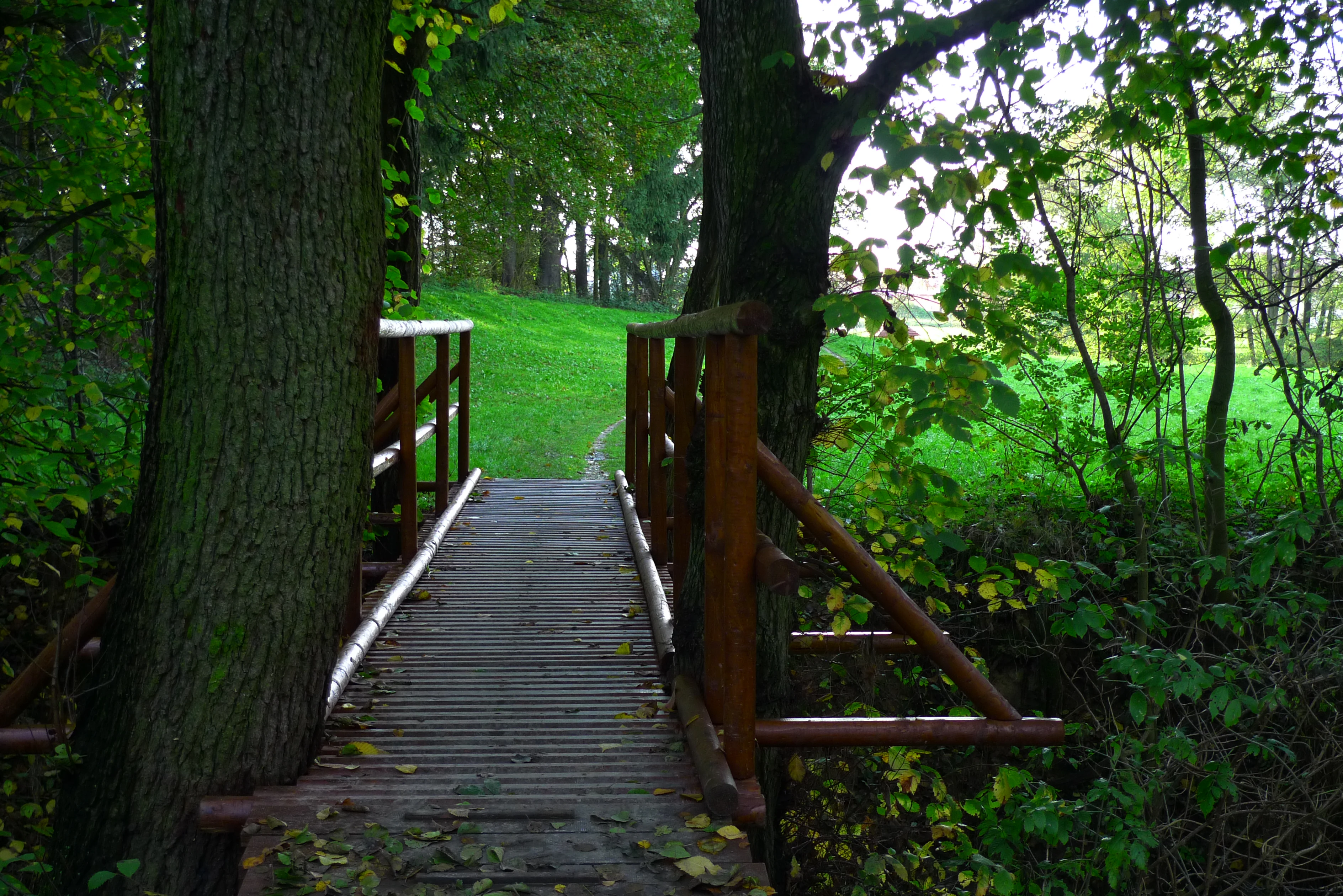
Footbridge over the Botic stream
A footbridge over the Botic stream near Kreslice

Best time to visit Botič-Milíčov Nature Park

Spring and early summer are particularly rewarding for visiting Botič-Milíčov, when the floodplain meadows around the Botič and Pitkovický stream are at their most florally diverse, with marsh marigold communities flourishing in the wetter zones and woodland wildflowers such as Hepatica nobilis and yellow star-of-Bethlehem brightening the forest floor. Late spring to early summer is also the most active period for breeding waterbirds around the Milíčov ponds, and for observing butterflies along the warmer slopes of Pitkovická stráň. Autumn brings quieter conditions and clearer views across the deciduous woodland of the Milíčov forest, though visitors should be aware that the floodplain meadows are regularly inundated during high-water periods, particularly in late winter and early spring.

Monthly climate preview

Long-term representative point measurements for temperature and precipitation by month

Přírodní park Botič-Milíčov Climate Normals and Annual Temperature Rhythm

Representative coordinates record annual temperatures ranging from sub-zero winter minimums to warm summer maximums alongside consistent daily precipitation rates. Examining the full twelve-month profile provides detailed meteorological context for regional topography and conservation research.
Annual mean9 °C
-2 °C20 °C
Jan-2°
Feb-1°
Mar
Apr
May13°
Jun17°
Jul20°
Aug19°
Sep14°
Oct
Nov
Dec-1°
Warmest month
July

19.7 °C

Coolest month
January

-2.2 °C

Wettest month
June

2.6 mm/day

Driest month
February

1.1 mm/day

Park location guide

Geography guide, regional context, and park location map for Botič-Milíčov Nature Park

Botič-Milíčov Nature Park park geography, regions, and map view in Czechia

Understand where Botič-Milíčov Nature Park sits in Czechia through a broader geographic reading of the surrounding landscape, nearby location context, and its mapped position within the national park landscape.

How Botič-Milíčov Nature Park fits into Czechia

Czech Republic is a landlocked Central European country with a population of approximately 10.9 million people. The nation was established as an independent state on January 1, 1993, following the dissolution of Czechoslovakia. Its capital and largest city is Prague, with other major urban centers including Brno, Ostrava, Plzeň, and Liberec.

Wider geography shaping Botič-Milíčov Nature Park in Czechia

The Czech Republic is a landlocked country in Central Europe. It is bordered by Germany to the west, Austria to the south, Poland to the northeast, and Slovakia to the southeast. The landscape is predominantly hilly, with the territory covering 78,871 square kilometers.

Map view of Botič-Milíčov Nature Park

Use this park location map to pinpoint Botič-Milíčov Nature Park in Czechia, understand its exact geographic position, and read its mapped placement within the surrounding landscape more clearly.

Pigeon | © OpenStreetMap contributors

Location context for Botič-Milíčov Nature Park

Praha

Explore photographic records of river valleys, broadleaf woodlands, and wetland habitats.

Visualizing Přírodní park Botič-Milíčov: Photos, Scenery, and Protected Landscapes

Visual documentation captures the functioning river floodplains, meandering streams, and surviving deciduous forests that define the terrain of Přírodní park Botič-Milíčov. Photographic references reveal the protected natural monuments and seasonal wetland dynamics shaping this urban conservation landscape.

Botic Valley

Memorial Oak Tree

Pitkovicky Stream

Botic Valley

Botic Valley

Botic stream in Kreslice

Mill race

Footbridge over the Botic stream

Botic Valley

Park atlas

Compare regional stream valleys, floodplain habitats, and nearby protected natural areas.

Exploring Parks Near Přírodní park Botič-Milíčov and Surrounding Protected Landscapes

Browsing other protected areas near Přírodní park Botič-Milíčov reveals connected river valleys, broadleaf woodlands, and surviving urban nature reserves across the surrounding region. Comparing adjacent park geography provides broader context for understanding regional conservation patterns and local terrain diversity.
Natural monumentPrague
About 0.2 km away#1 closest

Southwest

Milíčovský les a rybníky: Protected Landscape and Wetland Map in Prague, Czech Republic

Natural monument geography and forest-wetland habitat atlas

Milíčovský les a rybníky represents a core natural monument in southern Prague, featuring a mature deciduous forest integrated with a managed system of ponds. This protected area serves as a critical refuge for rare wetland and woodland species. Use the mapping tools to trace the terrain, from the dense oak-hornbeam canopy to the extensive reedbeds and aquatic environments that define this unique urban-edge landscape.

Area
1.047 km²
Established
1991
IUCN
III
Relief
Upland
Natural monumentPrague
About 3.2 km away#2 closest

North

Meandry Botiče Natural Monument: Mapped Geography and Protected Stream Landscapes in Prague

Analyzing the ecological boundaries and riparian terrain of the Botič stream corridor

Meandry Botiče represents a significant natural monument in Prague, distinguished by its pronounced stream meanders and dense bankside vegetation. This site offers deep insights into urban conservation, documenting the delicate balance between native riparian flora and the pressures of encroaching residential districts within a managed protected environment.

Area
0.067 km²
Established
1968
IUCN
III
Relief
Lowland
Protected landscapePrague
About 3.7 km away#3 closest

Northwest

Hostivař-Záběhlice Nature Park: Protected Landscape and Mapped Prague Geography

River valleys and reservoir terrain within the capital city.

Hostivař-Záběhlice Nature Park represents a vital natural zone in Prague, characterized by the mature forests and meandering river paths along the Botič stream. This record highlights the park's geographic composition, including its reservoirs, lowland forest patches, and its function as a preserved natural corridor within the city.

Area
4.23 km²
Established
1990
Relief
Lowland
Climate
Temperate
Natural monumentPrague
About 4.9 km away#4 closest

Northeast

Rohožník, lom v Dubči: Geological Natural Monument and Protected Landscape in Prague

Analyzing the Ordovician quartzite and tectonic rock exposures of the Prague Plateau

Rohožník, lom v Dubči serves as a crucial natural monument in the Prague region, protecting abandoned quarries that showcase clear M-shaped tectonic folds and thick quartzite deposits. This site acts as a living laboratory for geological history, connecting archaeological finds with dry grassland communities in an otherwise suburban-agricultural landscape on the edge of the capital.

Area
0.034 km²
Established
1988
IUCN
III
Relief
Upland
Protected landscapePrague
About 5.7 km away#5 closest

Northeast

Přírodní park Říčanka: Protected Landscape and Geographic Map of Eastern Prague

An analysis of rural corridors, aquatic systems, and forest terrain.

Přírodní park Říčanka preserves an extensive rural ribbon of meadows, arable fields, and woodland patches on the eastern edge of Prague. This structured overview details the park's topography, its historic fishpond chain along the Říčanský potok, and the various natural monuments that characterize this protected Czech landscape.

Area
4 km²
Established
1984
Relief
Lowland
Climate
Temperate
Nature reservePrague
About 6.9 km away#6 closest

West

V hrobech Nature Reserve: A Protected Botanical Island within the Urban Landscape of Prague

Rare dry-grassland habitats in the Kamýk district

V hrobech is a designated nature reserve in Prague featuring 1.3 hectares of southeast-facing slopes and species-rich grassland. This site is home to rare thermophilic plants and represents an important example of intensive conservation management in an urban environment. Its protected boundaries connect with local forest fragments to maintain ecological value amidst the residential developments of Lhotka and Libuš.

Area
0.013 km²
Established
1988
IUCN
IV
Relief
Lowland
Nature reservePraha 5
About 10 km away#7 closest

West

Prokopské údolí Nature Reserve: Geological Mapping and Protected Area Discovery

A limestone karst landscape situated within the Praha 5 district

Prokopské údolí is an essential protected nature reserve in Praha 5, featuring a deep limestone valley that serves as a globally significant site for Paleozoic fossils and karst geography. This protected landscape encompasses a range of habitats including rock steppes, thermophilic woodlands, and volcanic outcrops, providing a unique look at urban-adjacent nature conservation and historical limestone quarrying within the Czech Republic.

Area
1.71 km²
Established
1978
IUCN
III
Relief
Upland
Protected landscapeStředočeský kraj
About 13 km away#8 closest

Northeast

Přírodní park Škvorecká obora, Králičina: Protected Landscape and Regional Geography

Natural terrain and historic forest near the Prague boundary

Přírodní park Škvorecká obora, Králičina preserves a layered cultural and natural landscape characterized by the Výmola stream floodplain. The area functions as a vital forest habitat on the eastern edge of the Prague Plateau, integrating rare botanical sites with historical remnants of a centuries-old game enclosure.

Established
2009
Relief
Lowland
Climate
Temperate
Access
Easy access

Common questions about visiting, size, designation, and location context for Botič-Milíčov Nature Park

Botič-Milíčov Nature Park FAQs for park facts, access, geography, and protected area context

Find quick answers about Botič-Milíčov Nature Park, including protected-area facts, park geography, trail and visitor context, and how the park fits into its surrounding country and regional landscape.
MoriAtlas Explorer

Continue Your Protected Areas Search Across the Global Atlas

Deepen your exploration by continuing the structured search for national parks and protected areas worldwide. Utilize the comprehensive filtering capabilities to compare different conservation landscapes and refine your understanding of global park geography. Discover more about the distribution and characteristics of protected natural areas.

Global natural geography