
Mori Atlas logo
Protected landscapePřírodní park Drahaň-Troja

Analyzing the rugged Vltava stream valleys and thermophilic rocky steppe ecosystems.

Přírodní park Drahaň-Troja: Detailed Geography and Protected Landscape Mapping of Northern Prague

Přírodní park Drahaň-Troja encompasses a dramatic periurban landscape situated along the right bank of the Vltava River in northern Prague. This protected area features a complex topography of deep V-shaped valleys and steep rocky ridges formed from ancient Proterozoic bedrock. The landscape supports rare thermophilic flora and diverse invertebrate communities, serving as a critical ecological buffer within the expanding urban environment of the Czech capital.

periurban parkrocky steppethermophilic habitatsVltava valleyurban naturePrague
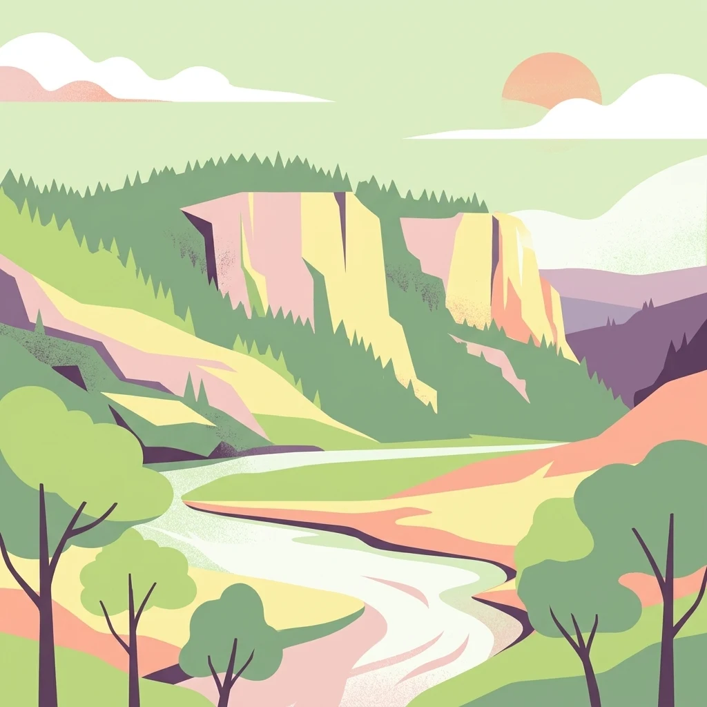
A flat-style digital illustration depicting a river flowing past steep, rocky cliffs covered with evergreen trees under a soft, pale sky with clouds and a sun.

Přírodní park Drahaň-Troja

Protected landscape

Park overview

Structured park overview, official facts, and landscape profile for Přírodní park Drahaň-Troja

Přírodní park Drahaň-Troja park facts, protected area profile, and essential visitor context

Review the core facts for Přírodní park Drahaň-Troja, including designation, size, terrain, visitor scale, habitats, and operating context in one park-focused overview.

About Přírodní park Drahaň-Troja

Přírodní park Drahaň-Troja is a periurban nature park that stretches across the right-bank Vltava corridor in the northern part of Prague. It encompasses the Trojská kotlina basin, a deeply incised landscape between the Jabloňka natural monument to the south and the Drahanská rokle valley near Dolní Chabry to the north. The park lies within the municipal districts of Prague 7 and Prague 8, yet functions as a continuous green corridor separating dense housing areas from the river and the open landscape beyond.

The defining character of the park comes from its geological setting. The bedrock belongs to the Upper Proterozoic Kralupy-Zbraslav group, making these among the oldest rocks exposed in the Prague region. Shales, greywackes, and yellow-brown rhyolite veins, products of ancient volcanic activity near the end of the Precambrian, are overlaid by Ordovician quartzites mined at Jabloňka. The combination of hard siliceous rocks, steep slopes, and a relatively dry microclimate has produced a landscape of rocky steppes, xerothermic shrubs, and deeply cut valleys that resembles habitats more typical of Central Bohemian hills than of an urban area.

Three main streams shape the park's hydrology: the Bohnický potok through Bohnické údolí, the Čimický potok along Čimické údolí, and the Drahaňský potok, which defines Prague's northern edge and emerges from Dolní Chabry. These valleys give the park its dramatic relief, dropping from the highest point at Velká skála around 314 meters down to the Vltava bank at Podhoří near 176 meters. The contrast between exposed rocky summits and sheltered valley bottoms creates a strong microclimatic gradient that supports thermophilic plants as well as wetter forest pockets.

The park is also a major cultural and recreational landscape. Prague Zoo and the Prague Botanical Garden lie within its boundaries, along with cultural monuments such as the Trojský zámek, the chapel of St. Clare with its vineyard, and protected village zones such as Staré Bohnice. Marked hiking trails, cycling routes, educational paths such as the Vltavská stezka, and small ferries across the Vltava integrate the park into the daily life of Prague residents and visitors. Together, the ecological, geological, and cultural layers of Drahaň-Troja make it a defining example of a periurban protected landscape.

Quick facts and research context for Přírodní park Drahaň-Troja

Drahaň-Troja is the northernmost nature park within Prague, established on 1 November 1990 by the Prague National Committee as a quiet zone and reclassified as a přírodní park in 1992 under the new nature protection law. The park covers approximately 578.8 hectares in the Trojská kotlina basin along the right bank of the Vltava River.

The area is built on Proterozoic rocks, the oldest in the Prague region, including shales, greywackes, and yellowish rhyolite veins of volcanic origin. Its elevation ranges from about 176 meters along the Vltava at Podhoří to about 314 meters at the siliceous summit of Velká skála. The park's landscape is defined by rocky slopes, three main stream valleys, dry steppe communities, and twelve separately protected smaller reserves and monuments.

Protection and recognition

Documented terrestrial conservation scope and official establishment timeline

Přírodní park Drahaň-Troja Protection Status and Designation History

Přírodní park Drahaň-Troja maintains a documented terrestrial protection status established in 1992. Official records outline the historical designation framework and management scope for this protected landscape.

Protection details

Protection scope
Terrestrial
Designated year
1992
Transboundary protection
No
Park context

Deeper park guide and search-rich context for Přírodní park Drahaň-Troja

Přírodní park Drahaň-Troja history, landscape, wildlife, and travel context

Explore Přírodní park Drahaň-Troja through its history, landscape character, ecosystems, wildlife, conservation priorities, cultural context, and seasonal travel timing in a structured park guide built for atlas discovery and search intent.

Why Přírodní park Drahaň-Troja stands out

The park is best known for its rocky steppe habitats with thermophilic flora and invertebrates, which are unusually well developed in the middle of a major European capital. Sites such as Podhoří and Jabloňka host communities of Festuca pallens, Aurinia saxatilis, Dictamnus albus, and rare species like Inula germanica that depend on open, sun-exposed rocks. Equally distinctive is the deep, layered valley system of the Trojská kotlina, where Bohnické, Čimické, and Drahanské valleys cut through Proterozoic bedrock down to the Vltava. The combination of protected steppes, deep valleys, a botanical garden, and a major zoo in one continuous periurban green space makes Drahaň-Troja a defining natural area for Prague.
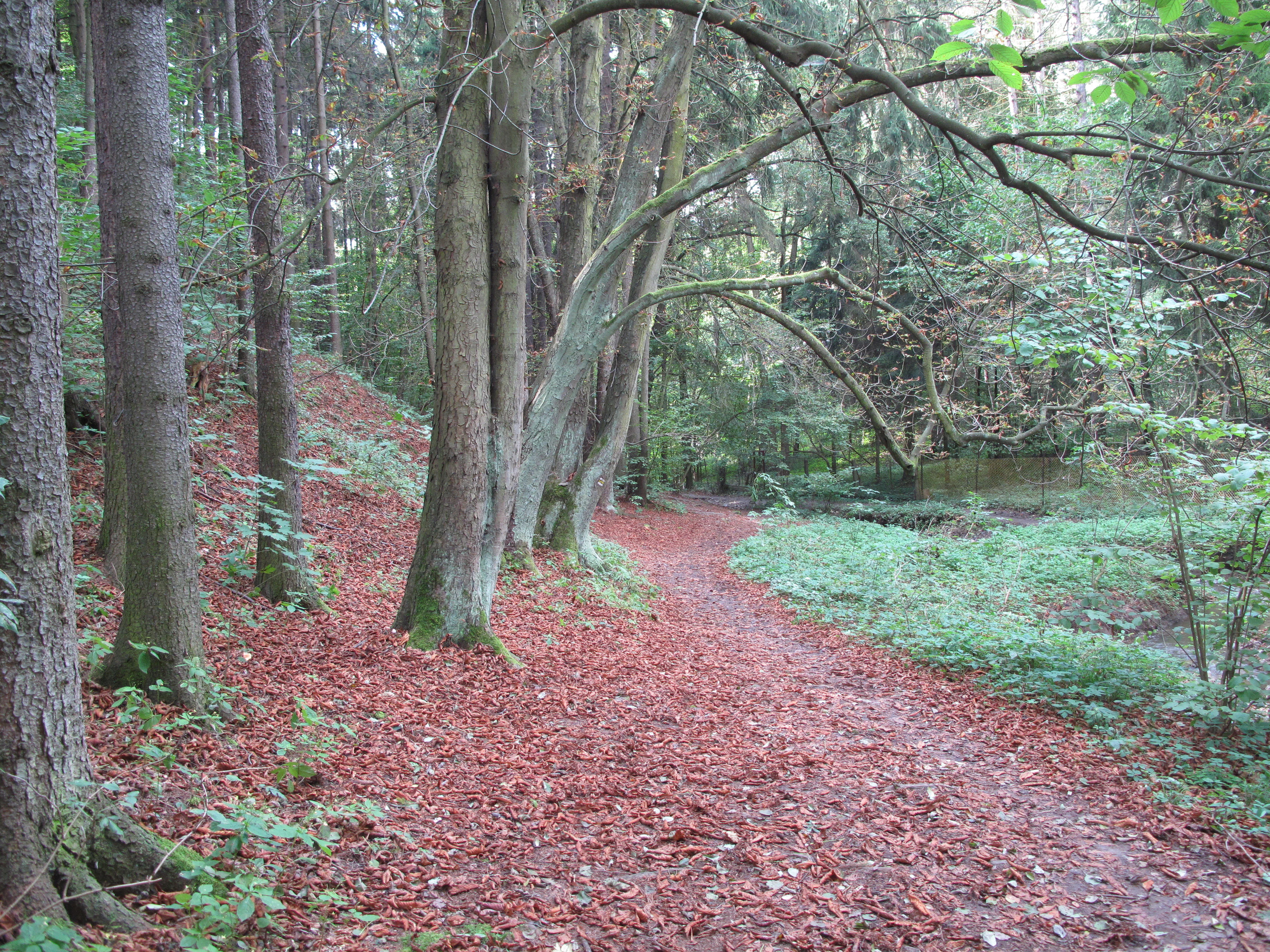
A dirt hiking path covered in autumn leaves winds through a deciduous forest with tall tree trunks lining the left side.
A narrow walking trail winding through the forest in Drahan Valley.

Přírodní park Drahaň-Troja history and protected-area timeline

The territory of today's nature park has been inhabited since the Neolithic and contains prehistoric fortified hilltop sites, including the Zámky and Na Farkách hillforts. The inhabitants of Na Farkách were known for fruit cultivation and viticulture, and a building called Sklenářka, locally referred to as Katovna, once functioned as a wine press. The slopes of the basin were used continuously for vineyards, orchards, and pasture on the least fertile soils.

Until the 19th century the basin was shaped by vineyards and orchards, with grazing on the poorest ground. After deforestation in the 19th century, most vineyards and orchards were abandoned and gradually overgrown by low forest or artificially replanted with black locust. Today only traces of this agricultural landscape remain, notably the Sv. Klára and Salabka vineyards in Troja. The ancient rocky steppes survived in places such as Podhoří and Jabloňka, where quartzite was historically quarried.

Modern protection began when the Prague National Committee declared the area a quiet zone on 1 November 1990. After the adoption of the new nature conservation law in 1992, the territory was reclassified as a přírodní park. The designation was motivated by the need to protect the overall landscape character and especially the rocky steppe communities. Since that time the area has become closely linked with the Periurban Parks international initiative, focused on the conservation and management of periurban green spaces under European environmental policy.

Přírodní park Drahaň-Troja landscape and geographic character

The landscape of Drahaň-Troja is built on a sequence of deeply cut valleys descending to the Vltava. The main relief features are the valleys of the Bohnický, Čimický, and Drahaňský streams. These valleys divide the right-bank plateau into a series of steep rocky spurs and dry ridges, giving the basin its characteristic rugged appearance despite being inside a major city.

Elevation differences are pronounced. The lowest point lies along the Vltava at Podhoří, around 176 meters above sea level, while the highest point is the siliceous summit called Velká skála, reaching about 314 meters. This vertical range of roughly 140 meters occurs within a relatively small area and produces sharp changes in slope, exposure, and microclimate.

Geologically, the park exposes Upper Proterozoic rocks of the Kralupy-Zbraslav group, including shales, greywackes, and yellowish rhyolite veins formed by late Precambrian volcanic activity. These are overlain in parts by Ordovician quartzites, best exposed at Jabloňka. The hard siliceous rocks give rise to the cliff-like rocky steppe outcrops, while the softer shales form gentler slopes. The combination of hard summit rocks, steep steppe slopes, forested valley sides, and the broad Vltava corridor defines the park's distinctive topography.
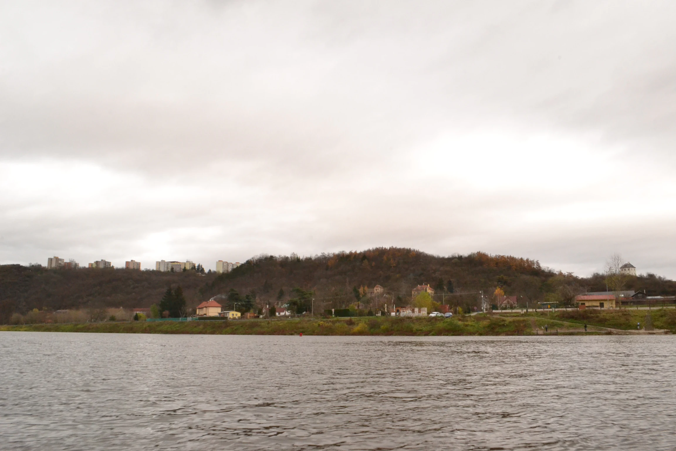
A wide shot looking across the Vltava River toward a forested hill and residential structures in the Podhori district under an overcast sky.
A view of the Podhori district seen from the opposite bank of the Vltava River within the Drahan-Troja Nature Park area.

Přírodní park Drahaň-Troja ecosystems, habitats, and plant life

The ecological identity of Drahaň-Troja is centered on its rare rocky steppe communities. These open, sun-exposed habitats support xerothermic shrubs such as Prunus spinosa, Sorbus torminalis, Euonymus europaeus, and Berberis vulgaris, together with dwarf oaks and characteristic herbaceous species. Notable thermophilic plants include Cornus mas, Prunus mahaleb, Festuca pallens, Aurinia saxatilis, Carex humilis, Potentilla arenaria, Oxytropis pilosa, Aster linosyris, Dictamnus albus, Geranium sanguineum, and Sesleria caerulea. Heather communities on siliceous substrates occur at Salabka, Havránka, and in Čimické údolí.

Before human activity the entire Trojská kotlina was covered by mixed oak woodland of hornbeam, beech, rowan, and maple. A shift to drier climate at the end of the Bronze Age transformed the area into forest-steppe, which was then further opened by centuries of grazing, viticulture, and orchard use into the open steppe landscape seen today. Many of the current forest stands are recent plantations from the 1920s, including Robinia pseudoacacia, Picea abies, and North American Quercus rubra, originally established as anti-erosion measures. Black locust proved especially successful in colonizing these warm, dry slopes.

Local microhabitats add further ecological diversity. Jabloňka preserves undisturbed rocky walls with therophyte communities, while the slopes of Zámky shelter Gagea bohemica, Veronica campestris, and the only known Prague population of Helichrysum arenarium. Valley bottoms with cooler, moister conditions support richer fungal communities and provide nesting habitat for forest birds. Throughout the park, maintaining open rocky surfaces is considered essential to preserve these thermophilic communities in the long term.
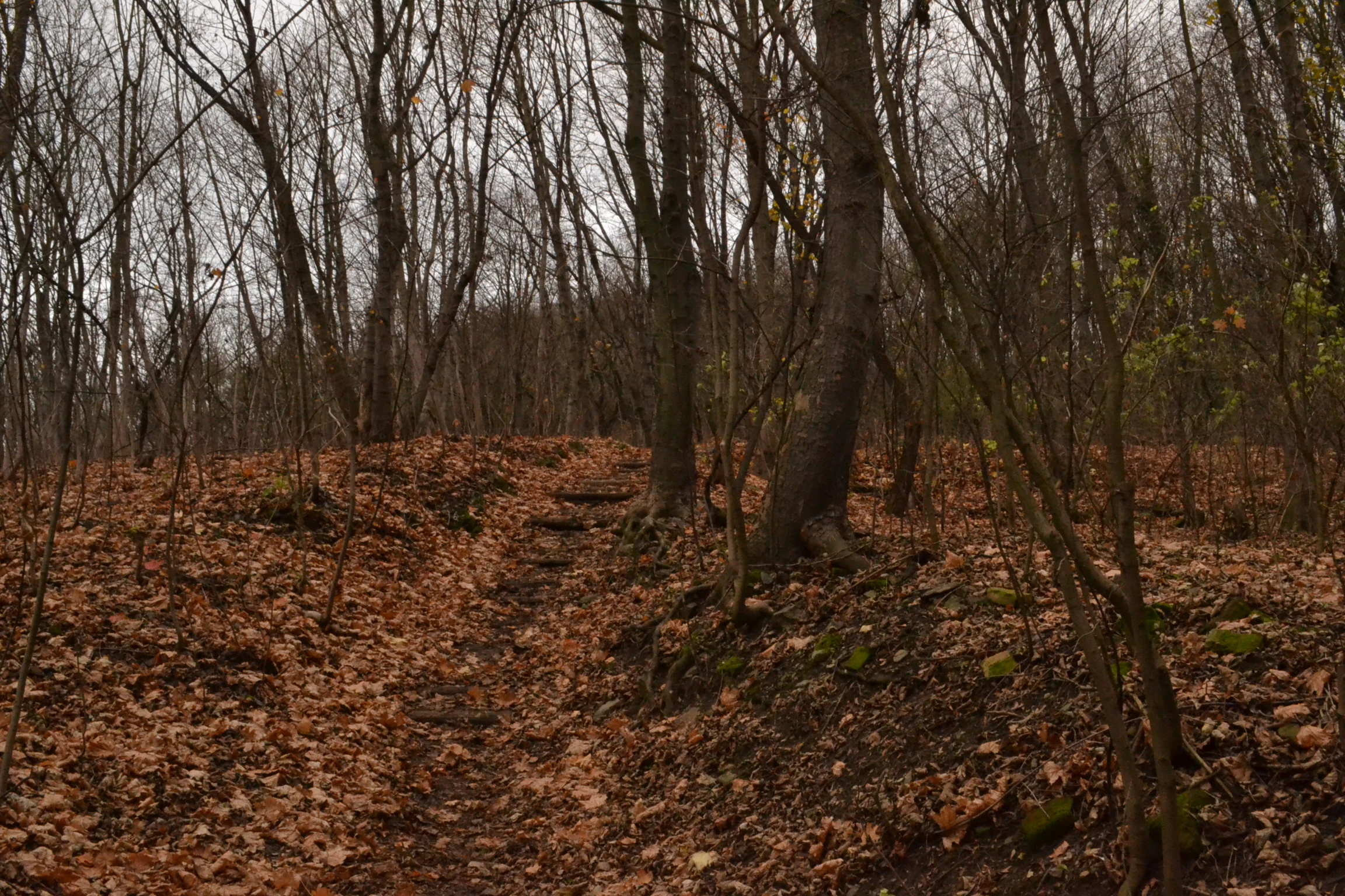
A forest path covered in fallen autumn leaves leads through deciduous trees on an overcast day.
Autumn landscape in the Podhori area of Prirodni park Dahan-Troja.

Přírodní park Drahaň-Troja wildlife and species highlights

The wildlife of Drahaň-Troja reflects its warm, dry steppe character combined with sheltered valley forests. Invertebrates dominate the rocky habitats, including beetle species such as Labidostomis humeralis and numerous weevils, the rare butterfly Scolitantides orion, and the spectacular spider Eresus kollari. The thermophilic dipluran Catajapyx aquilonaris is exceptionally rare in the park, with Podhoří holding one of its few known Czech localities. Cvrčivec révový, a distinctive singing insect of warm slopes, also occurs here.

Amphibians and reptiles find refuge in the damper valley bottoms and steppe margins. Salamandra salamandra and Triturus vulgaris are occasionally recorded, while Lacerta agilis, Anguis fragilis, and the green lizard Lacerta viridis are relatively common in sunny habitats. The smooth snake Coronella austriaca has been observed in the Trojská kotlina steppes, marking the park as an important lowland reptile refuge within an urban context.

Birds of deciduous woodland and parkland are widespread, with Dendrocopos major, Picus viridis, Sylvia borin, Sylvia atricapilla, and Sylvia curruca among the characteristic species. Čimické údolí is particularly rich in breeding birds, including the short-toed treecreeper, tree pipit, goldfinch, and several warbler species. The combination of cliff, steppe, valley forest, and riparian habitat along the Vltava gives the park a notably diverse bird community for such a small, urban-adjacent area.
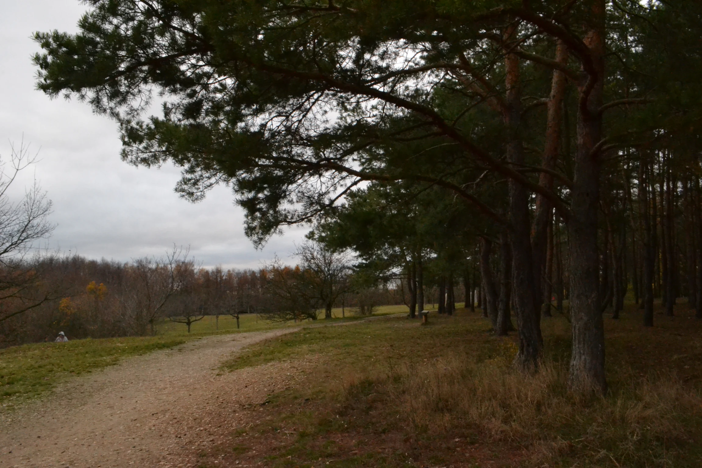
A wide dirt trail curves through a clearing with a dense pine forest on the right under an overcast sky.
A dirt path winding through the edge of a woodland area in the Podhoří section of the park.

Přírodní park Drahaň-Troja conservation status and protection priorities

The whole territory of Drahaň-Troja is considered valuable for biological, ecological, geomorphological, and historical reasons. Its eastern part overlaps the village monument zone of Staré Bohnice, integrating cultural heritage protection with nature protection. The park participates in the international Periurban Parks project, which addresses the threats typically facing periurban parks: urbanization, pollution, illegal dumping, and invasion by non-native species.

A central conservation concern is the preservation of open rocky steppe habitats. Without traditional grazing or controlled burning, heather and steppe communities tend to age out within roughly 20 to 25 years after the last disturbance, potentially leading to their disappearance. Conservation plans therefore recommend reintroducing low-intensity sheep grazing, around five animals per hectare year-round, or establishing regular rotational burning of heather stands on roughly ten-year cycles. Removal of encroaching shrubs and invasive black locust is also part of ongoing management, particularly in Podhoří and Čimické údolí.

Several smaller protected sites within the park carry specific responsibilities. Jabloňka is protected for its Ordovician geological profile of shales and quartzites, as well as its thermophilic insect habitats. Salabka and Havránka are included in the Natura 2000 network for their dry heaths and rare insect communities. Across the entire park, the long-term conservation goal is to restore and maintain native oak-hornbeam forests while preserving open thermophilic steppes as a defining feature of the landscape.

Přírodní park Drahaň-Troja cultural meaning and human context

The Trojská kotlina basin has been continuously inhabited and modified by humans for thousands of years. Prehistoric hillforts at Zámky and Na Farkách reflect an early settlement pattern tied to defensible rocky summits above the Vltava, and the Slavic-era Zámky hillfort (6th to 8th century) is preserved today as an archaeological park. Viticulture and fruit growing shaped the local economy for centuries, leaving visible remains in the surviving St. Clare and Salabka vineyards and in old farm buildings such as Sklenářka and Pazderka.

The basin also carries an unusually dense concentration of cultural monuments for a nature-protected area. Within or near the park lie the Trojský zámek with its orangery and historical outbuildings, the chapel of St. Clare, the chapel of St. Wenceslas in Podhoří, and protected village zones such as Staré Bohnice and Rybáře. Villas and family housing built in the 19th and 20th centuries replaced much of the former agricultural landscape, while the Prague Zoo and Botanical Garden established a new cultural focal point on the southern edge of the basin.

Today the park functions as a cultural bridge between Prague's dense residential districts and the open countryside to the north. Historic paths, small Vltava ferries, and modern cycling routes, including the Vltavská stezka, connect local communities and visitors with both the natural and the built heritage of the basin. The interplay of protected steppe, historic vineyards, hillfort archaeology, and periurban housing defines the cultural character of Drahaň-Troja as much as its ecological value does.

Top sights and standout views in Přírodní park Drahaň-Troja

Drahaň-Troja combines Prague's oldest exposed rocks with one of its richest concentrations of thermophilic rocky steppe habitats. Its three main valleys, Bohnické, Čimické, and Drahanské, and the dramatic rise from the Vltava at Podhoří to Velká skála give the park a real sense of relief despite its urban setting. Visitors encounter rare steppe plants, breeding birds of deciduous valley forest, and thriving populations of thermophilic invertebrates rarely found elsewhere in the Czech Republic.

The park is also unusual in embedding internationally visited institutions, Prague Zoo and the Prague Botanical Garden, within a continuously protected natural landscape. Layered on top of this are Neolithic and Slavic hillforts, baroque and 19th-century architecture, vineyards, and villa districts, making Drahaň-Troja a place where geological time, ecological rarity, and Prague's urban story converge within a single periurban corridor.

Best time to visit Přírodní park Drahaň-Troja

The character of Drahaň-Troja changes clearly with the seasons. Spring brings the most active flowering of the rocky steppes, when thermophilic plants such as Pulsatilla, Gagea bohemica, and various rockroses color the open slopes and bird song intensifies in the wooded valleys. Early summer is the peak period for thermophilic insects, making it the best time to observe the park's specialized invertebrate fauna.

Late summer and early autumn offer dry, warm conditions ideal for exploring the steppe communities and for longer walks along the Vltava, including the Vltavská stezka cycling route. Autumn also reveals the geological drama of the basin, as the deciduous woodlands in the valleys shift color against the persistent green of the evergreen plantations, while Podhoří and other rocky outcrops remain dry and accessible. Winter, when snow is light, still allows clear views across the bare steppe slopes and the silhouette of Velká skála above the Vltava, though some smaller monuments may be partly fenced or managed for conservation work at this time.

Monthly climate preview

Long-term representative temperature and precipitation averages recorded at benchmark coordinates

Přírodní park Drahaň-Troja Climate Normals and Annual Weather Patterns

Historical data recorded between 1991 and 2020 documents the measured monthly temperature and precipitation rhythm across Přírodní park Drahaň-Troja. Reviewing the complete twelve-month climatology profile provides deeper insight into long-term environmental trends and seasonal weather variations.
Annual mean9 °C
-2 °C20 °C
Jan-2°
Feb-1°
Mar
Apr
May13°
Jun17°
Jul20°
Aug19°
Sep14°
Oct
Nov
Dec-1°
Warmest month
July

19.7 °C

Coolest month
January

-2.2 °C

Wettest month
June

2.6 mm/day

Driest month
February

1.1 mm/day

Park location guide

Geography guide, regional context, and park location map for Přírodní park Drahaň-Troja

Přírodní park Drahaň-Troja park geography, regions, and map view in Czechia

Understand where Přírodní park Drahaň-Troja sits in Czechia through a broader geographic reading of the surrounding landscape, nearby location context, and its mapped position within the national park landscape.

How Přírodní park Drahaň-Troja fits into Czechia

Czech Republic is a landlocked Central European country with a population of approximately 10.9 million people. The nation was established as an independent state on January 1, 1993, following the dissolution of Czechoslovakia. Its capital and largest city is Prague, with other major urban centers including Brno, Ostrava, Plzeň, and Liberec.

Wider geography shaping Přírodní park Drahaň-Troja in Czechia

The Czech Republic is a landlocked country in Central Europe. It is bordered by Germany to the west, Austria to the south, Poland to the northeast, and Slovakia to the southeast. The landscape is predominantly hilly, with the territory covering 78,871 square kilometers.

Map view of Přírodní park Drahaň-Troja

Use this park location map to pinpoint Přírodní park Drahaň-Troja in Czechia, understand its exact geographic position, and read its mapped placement within the surrounding landscape more clearly.

Pigeon | © OpenStreetMap contributors

Location context for Přírodní park Drahaň-Troja

Prague

Visual exploration of rocky steppes, deep valleys, and protected terrain along the Vltava River

Přírodní park Drahaň-Troja Photos and Landscape Scenery

Visual documentation reveals the rugged terrain, steep rocky spurs, and sun-exposed steppe habitats defining the protected landscape. Photographic records provide clear insight into the valley ecosystems and geological formations shaping the northern edge of Prague.

A dirt hiking path covered in autumn leaves winds through a deciduous forest with tall tree trunks lining the left side.

A landscape view of a grassy hill in autumn with bare trees and three large, upright, weathered stone monuments.

A wide shot looking across the Vltava River toward a forested hill and residential structures in the Podhori district under an overcast sky.

A forest path covered in fallen autumn leaves leads through deciduous trees on an overcast day.

A wide dirt trail curves through a clearing with a dense pine forest on the right under an overcast sky.

Park atlas

Compare regional park geography and discover adjacent protected natural areas in the surrounding region.

Exploring Other Parks Near Přírodní park Drahaň-Troja and Surrounding Protected Landscapes

Connecting from Přírodní park Drahaň-Troja into other nearby protected areas reveals broader regional ecosystems and unique valley landscapes. Comparing these neighboring natural reserves helps trace the wider ecological and geological patterns spanning the northern edge of the capital.
Natural monumentPrague
About 2.4 km away#1 closest

South

Velká skála Natural Monument: Geological Protected Area within the Prague Plateau

A landmark siliceous rock outcrop in the Troja district

Velká skála offers a concentrated look at the geological heritage of central Bohemia. As a designated natural monument, the site protects a rare siliceous rock outcrop that contrasts with the rolling terrain of the surrounding Prague Plateau, serving as a vital reference for regional geomorphology.

Area
0.018 km²
Established
1968
IUCN
III
Relief
Upland
A horizontal watercolor illustration showing a soft, dreamy landscape with rolling green hills, light purple and yellow tones, a winding path or stream, and a lone bare tree in the foreground.
Protected landscapePraha
About 5.9 km away#2 closest

Southwest

Přírodní park Šárka-Lysolaje: Protected Landscape Mapping and Geographic Identity in Praha

A dense mosaic of stream valleys and protected natural monuments near the heart of Praha

Examine the detailed geography of Přírodní park Šárka-Lysolaje, an extensive protected landscape in Praha that functions as a critical green corridor. Its terrain, defined by deeply incised stream valleys and steep forested slopes, hosts a unique concentration of smaller nature reserves and monuments, creating a coherent ecological framework directly adjacent to the urban metropolitan environment.

Area
10.05 km²
Established
1990
Climate
Temperate
Scope
Terrestrial
Natural monumentPrague
About 6.7 km away#3 closest

Southwest

Vizerka Natural Monument: Mapped Protected Landscapes and Rocky Terrain in Prague

A rare xerothermic steppe refuge on the edge of the Šárka Valley

Vizerka represents a compact yet significant natural monument located on the rocky slopes of the Šárecké údolí in Prague. Featuring exposed Proterozoic shale and shallow soils, this protected site serves as a vital island of thermophilic grasslands and shrubby terrain. It offers a fascinating look at relict warm-loving habitats and rare species survival within the dense geographical context of a European capital city.

Area
0.031 km²
Established
1988
IUCN
IV
Relief
Upland
Natural monumentPrague
About 11 km away#4 closest

Southwest

Vidoule Natural Monument: Geological Profile and Protected Landscape Context in Prague

A table mountain remnant with exposed Cretaceous sandstone formations.

Vidoule stands as a significant natural monument in western Prague, defined by its flat-topped table mountain geometry and horizontal Cretaceous strata. The site offers a unique perspective on the regional geology of the Prague Plateau, where protected slopes guard rare dry grassland habitats and fossil-rich layers against a backdrop of dense urban development.

Area
0.087 km²
Established
1988
IUCN
III
Relief
Upland
Nature reservePraha 5
About 11 km away#5 closest

South

Prokopské údolí Nature Reserve: Geological Mapping and Protected Area Discovery

A limestone karst landscape situated within the Praha 5 district

Prokopské údolí is an essential protected nature reserve in Praha 5, featuring a deep limestone valley that serves as a globally significant site for Paleozoic fossils and karst geography. This protected landscape encompasses a range of habitats including rock steppes, thermophilic woodlands, and volcanic outcrops, providing a unique look at urban-adjacent nature conservation and historical limestone quarrying within the Czech Republic.

Area
1.71 km²
Established
1978
IUCN
III
Relief
Upland
A soft watercolor painting of a green landscape featuring a small body of water, rolling hills, and trees, painted in a minimalist style on a white background.
Protected landscapePrague
About 13 km away#6 closest

Southeast

Hostivař-Záběhlice Nature Park: Protected Landscape and Mapped Prague Geography

River valleys and reservoir terrain within the capital city.

Hostivař-Záběhlice Nature Park represents a vital natural zone in Prague, characterized by the mature forests and meandering river paths along the Botič stream. This record highlights the park's geographic composition, including its reservoirs, lowland forest patches, and its function as a preserved natural corridor within the city.

Area
4.23 km²
Established
1990
Relief
Lowland
Climate
Temperate
A soft watercolor painting of a winding stream moving through green meadows with distant rolling hills and a light, misty atmosphere.
Natural monumentPrague
About 13 km away#7 closest

Southeast

Meandry Botiče Natural Monument: Mapped Geography and Protected Stream Landscapes in Prague

Analyzing the ecological boundaries and riparian terrain of the Botič stream corridor

Meandry Botiče represents a significant natural monument in Prague, distinguished by its pronounced stream meanders and dense bankside vegetation. This site offers deep insights into urban conservation, documenting the delicate balance between native riparian flora and the pressures of encroaching residential districts within a managed protected environment.

Area
0.067 km²
Established
1968
IUCN
III
Relief
Lowland
Natural monumentStředočeský kraj
About 15 km away#8 closest

North

Veltrusy Natural Monument: Protected Woodland and Historic Park Geography in Středočeský kraj

English-style designed landscapes and floodplain ecological habitats.

Veltrusy Natural Monument is a protected area located on the right bank of the Vltava River, defined by its horseshoe-shaped layout and mosaic of oak-beech woodlands. The site represents a rare intersection of cultural heritage and nature conservation, preserving veteran trees that support significant invertebrate populations. Its geography consists of gently undulating floodplain terrain shaped by the Mlýnský potok, historic avenues, and managed meadows.

Area
2.555 km²
Established
2013
IUCN
III
Relief
Lowland

Common questions about visiting, size, designation, and location context for Přírodní park Drahaň-Troja

Přírodní park Drahaň-Troja FAQs for park facts, access, geography, and protected area context

Find quick answers about Přírodní park Drahaň-Troja, including protected-area facts, park geography, trail and visitor context, and how the park fits into its surrounding country and regional landscape.
MoriAtlas Explorer

Continue Your Protected Areas Search Across the Global Atlas

Deepen your exploration by continuing the structured search for national parks and protected areas worldwide. Utilize the comprehensive filtering capabilities to compare different conservation landscapes and refine your understanding of global park geography. Discover more about the distribution and characteristics of protected natural areas.

Global natural geography