
Why Pululahua Geobotanical Reserve stands out
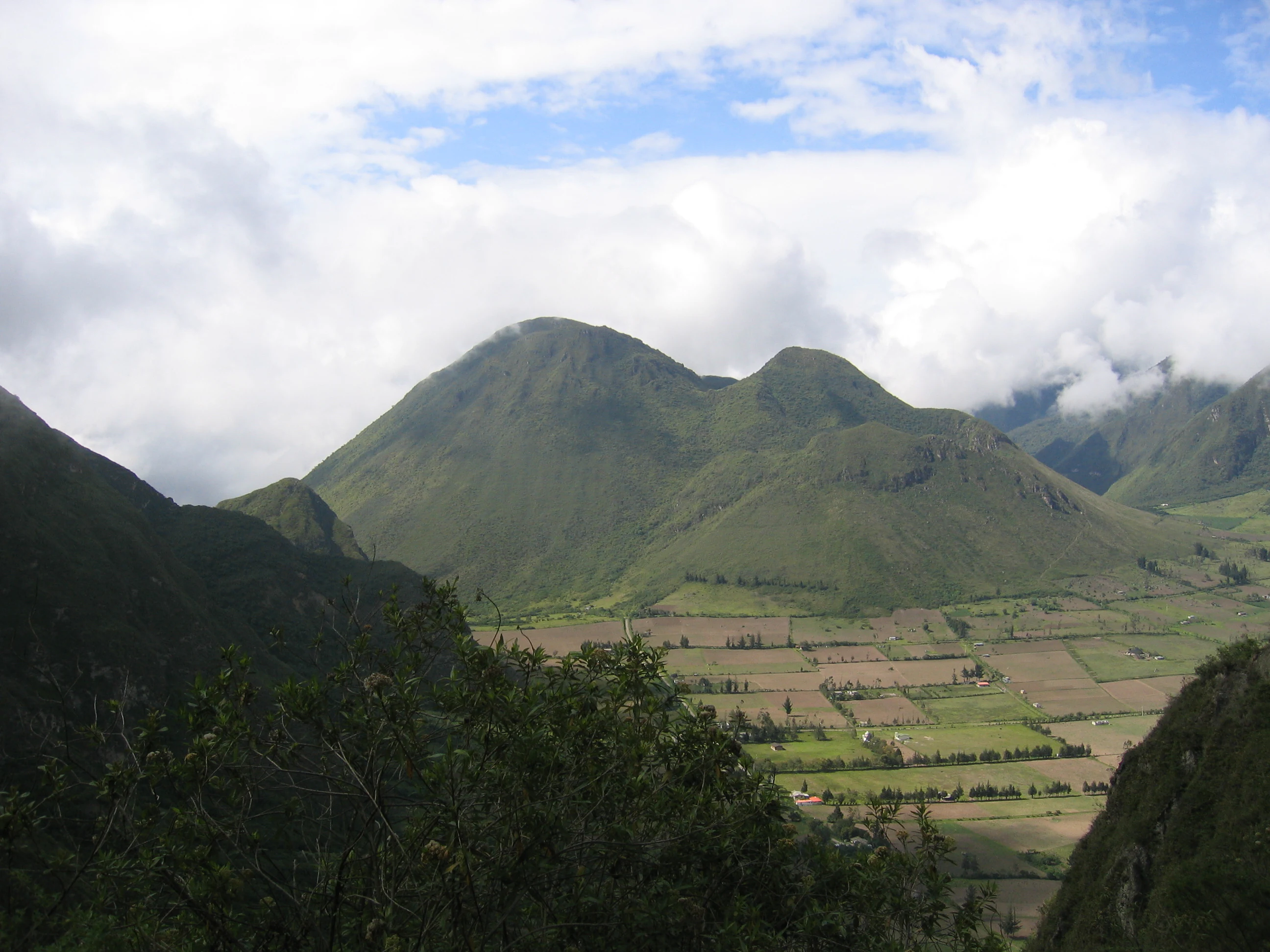
Pululahua is best known as a protected volcanic caldera that is also inhabited, with a small farming community living and working inside the crater. The volcano consists of three lava domes: Pondoña, El Chivo, and Pan de Azúcar, which rise from the floor of a roughly 12-kilometer-wide caldera that formed during massive eruptions in the Quaternary period. The reserve's defining feature is the dramatic ecological gradient found within a single landform. As elevation climbs from the lower river corridors up through the mist-shrublands and into the high evergreen forests near the summits of the domes, the vegetation changes substantially, producing distinct life zones such as low montane cloud forest, rupestrian mist scrub, semi-dry montane matorral, humid montane matorral, and high montane evergreen forest. This unusual stacking of ecosystems within an inhabited crater is a core reason Pululahua holds geobotanical rather than purely national-park status.
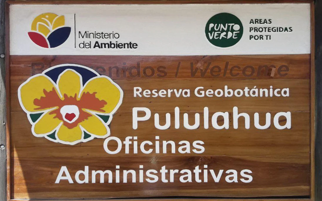
Pululahua Geobotanical Reserve history and protected-area timeline
The Pululahua area has a long record of human use that predates modern protection. Before the arrival of the Inca, the region was inhabited by indigenous Yumbo and Caranqui communities who used networks of trails crossing the highlands. The Inca later extended their influence into these lands before ultimately losing them during the colonial period.
In 1825 the lands within the caldera passed to Dominican monks, who established the Hacienda Pululahua. Throughout the late nineteenth century, the hacienda became one of the most important centers for lime and timber production around Quito, with the white calcium carbonate extracted here used extensively in colonial construction. The crater was also used as pastureland for goats and sheep and for small-scale agriculture.
Following Ecuador's Liberal Revolution in 1905, the hacienda was confiscated from the Dominican order and turned over to the state's Asistencia Social, which leased it to private parties. Mining of lime, agricultural use, and grazing continued for several decades, gradually reshaping the vegetation and wildlife of the caldera.
The area's modern protected status began on January 8, 1966, when Pululahua was declared a national park under Supreme Decree No. 194. This made it the first national park on continental Ecuador and a foundational piece of the country's early conservation system. On February 17, 1978, the area was reclassified by Decree No. 2559 as a Geobotanical Reserve, a designation chosen to reflect both its volcanic geology and its remarkable plant diversity. Final boundaries for the protected area were established on April 17, 1985, by Ministerial Agreement No. 127, while respecting parcels of land already adjudicated to local residents within the crater.
Pululahua Geobotanical Reserve landscape and geographic character
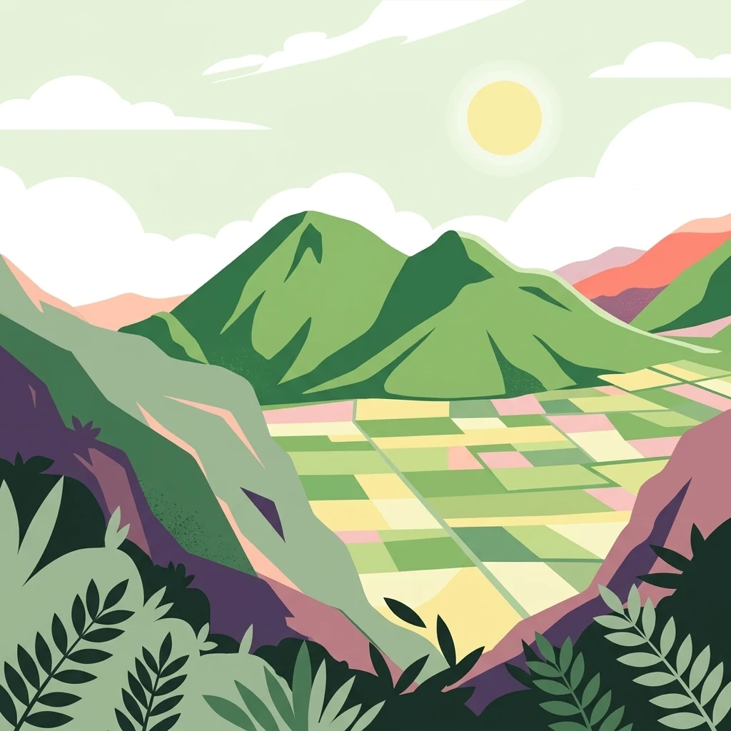
Pululahua's landscape is defined by a massive, partially collapsed Quaternary-age volcano with a nearly circular caldera roughly 12 kilometers across. The crater floor forms a broad, gently sloping basin with agricultural fields, scattered houses, and forested patches, surrounded by steep walls that rise into the higher peaks of the Andes. From a geographic perspective, this combination of large-scale volcanic landform and internal agricultural settlement is unusual at the global scale.
Within the caldera, three prominent lava domes structure the terrain. Pondoña, on the western side, is a tall lava dome that formed roughly 500 years after the collapse of the main volcano and features a smaller summit crater on its eastern face. El Chivo is a smaller lava dome in the southern part of the caldera, with a rounded top reachable by short trails. Pan de Azúcar, the third dome, contributes additional relief and vegetation variation. Between and beyond these domes, the topography includes steep inner walls, narrow watercourses, and rim trails with sweeping views across the caldera and beyond.
The reserve's elevation range, roughly 1,800 to 3,356 meters, supports a strongly layered visual character. Lower elevations along river corridors like Río Blanco show denser, lusher vegetation, while mid-range slopes are covered with shrubby mist vegetation clinging to rocks and ridges, and the highest parts transition into tall evergreen forest, low cloud-forest trees, and the open palm-dominated woodland of the Andean highlands. The combination of an inhabited basin, visible domes, and vegetated crater walls makes Pululahua one of the more visually distinctive volcanic landscapes in Ecuador.
Pululahua Geobotanical Reserve ecosystems, habitats, and plant life
Pululahua's ecological identity is built around its unusual vertical zonation within a single volcanic landform. The reserve preserves a sequence of stacked life zones, from the warmer and more humid lowland cloud-forest corridors of the Río Blanco area, through montane cloud forest on the middle slopes, to rupestrian mist shrubland on exposed rocky ridges, semi-dry mountain scrub, humid mountain matorral, and high-altitude evergreen forest near the summits of the domes. This layering is one of the central reasons the area was reclassified as a geobotanical reserve.
The forest interior is dense and heavily decorated with mosses, ferns, lichens, bromeliads, and orchids, particularly in the cloud-forest bands where moisture is consistently high. Characteristic plant species include the orchid Cattleya maxima, the bromeliad Tillandsia usneoides, native sigse grasses, cat's claw, and a variety of native trees such as arrayán, aguacatillo, pumamaqui, quishuar, and several figs. The high-altitude zone introduces distinctive Andean species such as the Andean wax palm Ceroxylon parvifrons and chusquea bamboo.
Across the Andes as a whole, more than 2,900 endemic plant species have been recorded, and Pululahua protects a meaningful share of that richness in a relatively compact area. The combination of indigenous Andean flora, equatorial biogeography, and volcanic soils gives the reserve a botanical character that is unusually varied for its size and unusually concentrated around a single landform.
Pululahua Geobotanical Reserve wildlife and species highlights
Pululahua's wildlife reflects a long history of coexistence with human settlement, and many of the larger mammals that once ranged the area have been reduced in number, but the reserve still supports a meaningful mix of Andean fauna. Documented mammals include the Andean spectacled bear, the Andean fox or culpeo, mountain lions, armadillos, opossums, squirrels, rabbits, weasels, and a range of fruit bats.
Birds are one of the most visible wildlife highlights. Species recorded in and around the reserve include the Andean guan, the band-tailed pigeon, the eared dove, the Andean cock-of-the-rock, the quetzal-family guajalito, the variable hawk, the white-collared swift sometimes called the condor swift, and the widespread Andean sparrow. The combination of forest edge, open fields, and higher elevation habitats means a relatively short visit can yield a varied bird list.
The reserve also hosts notable amphibians, reptiles, and insects. Marsupial frogs are present in the wetter vegetation, and the area harbors lizards, small snakes, and a striking variety of butterflies. Together these groups underscore the value of Pululahua as a refuge for Andean biodiversity, even within a landscape that has been shaped by centuries of agricultural activity.
Pululahua Geobotanical Reserve conservation status and protection priorities
Pululahua has been a cornerstone of Ecuador's protected-area system since the mid-1960s, and its conservation significance extends beyond its formal boundaries. As the first national park established on continental Ecuador under Decree No. 194 of 1966, it played a foundational role in the early development of national conservation policy, and its later reclassification in 1978 as a geobotanical reserve helped establish the country's approach to protecting areas valued for both geological and botanical reasons.
From an ecological perspective, the reserve preserves a complete altitudinal sequence of vegetation zones within a single volcanic basin, supporting both widespread Andean species and endemic plants found across the northern Andes. This concentration of biodiversity within a relatively small area, combined with its proximity to a major capital city, gives Pululahua particular value for research, environmental education, and low-impact recreation.
Conservation management faces ongoing challenges. Centuries of agricultural use, lime production, grazing, and selective logging have altered parts of the ecosystem, and roughly forty families continue to live and farm inside the caldera. The reserve therefore operates as a working landscape as well as a protected one, balancing the preservation of cloud forest, matorral, and high-altitude forest with the rights and livelihoods of the community that lives at the heart of the volcano.
Pululahua Geobotanical Reserve cultural meaning and human context
The Pululahua caldera sits within a cultural landscape shaped by successive waves of human presence. Long before written history, the Yumbo and Caranqui peoples inhabited the surrounding highlands and used networks of trails that passed through and around the crater. These routes later became strategic corridors during the Inca expansion into the region and were subsequently used by the Spanish in their advance into Esmeraldas and other northern territories.
Within the caldera, archaeological observations suggest that the indigenous inhabitants had a sophisticated understanding of the local geography. Alignments of stones near the Chivo dome have been interpreted, in recent archaeoastronomical work, as possible markers of the December solstice sunrise, indicating that the crater held ceremonial as well as practical significance.
The colonial and post-colonial period added another major cultural layer. After 1825, the area became the Hacienda Pululahua, operated by Dominican monks who oversaw intensive lime extraction from the caldera's calcium-rich rocks and the production of timber for colonial Quito. The whitewashed walls of Quito's historic center are closely linked to calcium carbonate from these kilns. Today, the descendants of this history still live and farm inside the crater, making Pululahua an inhabited cultural landscape as well as a protected natural area.
Top sights and standout views in Pululahua Geobotanical Reserve
Pululahua stands out for the unusual combination of a large inhabited caldera, a layered sequence of Andean ecosystems, and immediate proximity to Ecuador's capital. Few protected areas anywhere combine a working farming community with a still-visible Quaternary volcanic caldera and a complete altitudinal gradient of mountain vegetation.
The reserve's three lava domes, Pondoña, El Chivo, and Pan de Azúcar, give it a recognizable silhouette and provide the main hiking objectives within the crater. The surrounding slopes support orchids, bromeliads, tree ferns, and high-altitude palms, while the lower corridors add lianas, mosses, and dense epiphyte communities in the cloud-forest bands. Wildlife sightings include Andean bears, foxes, mountain lions, marsupial frogs, and a colorful mix of Andean birds.
Pululahua's historical heritage is also part of its identity. Twelve restored lime kilns within the reserve recall the dominant economic activity of the past and link the protected area to the construction history of colonial Quito. Together, the volcanic geology, ecological zonation, inhabited crater floor, and historical infrastructure make Pululahua a particularly compact and multifaceted Andean reserve.
Best time to visit Pululahua Geobotanical Reserve
Pululahua lies close to the equator, so seasonal variation comes more from rainfall patterns than from temperature extremes. The reserve's climate is described as moderately cold in the higher parts and temperate to subtropical in the northwestern lower zones, with temperatures broadly in the range of 13 to 15 degrees Celsius.
The drier months typically run from June through December, while the wetter season extends from December into June. During the wetter months, the cloud-forest bands are lusher, the waterfalls and streams are fuller, and birdwatching can be especially rewarding, though trails are muddier and visibility from the crater rim can be reduced by mist. The drier months often offer clearer views from the rim, easier trail conditions on the steeper sections, and a more comfortable experience for casual visitors.
Because the reserve's elevation spans about 1,500 vertical meters, conditions can vary sharply between the bottom of the caldera and the higher domes, so visitors should be prepared for cooler temperatures at the top of the Pondoña or El Chivo summits even on warmer crater-floor days.