

Mori Atlas logo
Park guides

Time high-altitude trails around warmth, daylight, and snow

Retezat National Park seasonal mountain visit planner for Hunedoara County

Use Retezat National Park's available guide to plan hiking around a compact alpine season. Its timing advice identifies July and August for warmer temperatures, longer days, and the strongest access to high-altitude trails, while warning that fast-changing mountain weather and snow cover can persist into late spring and early autumn.

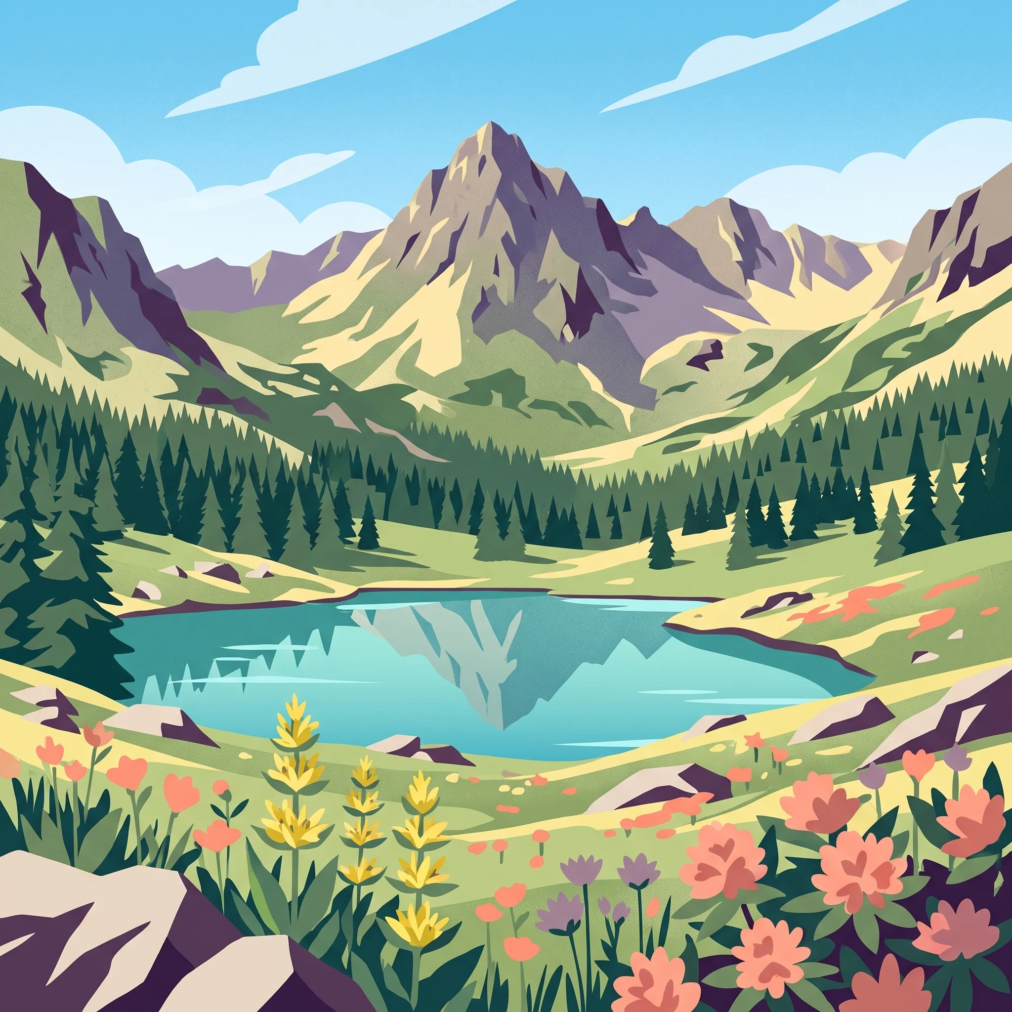
Stylized illustration of a mountain lake surrounded by coniferous trees and rocky terrain with a snow-capped mountain in the background.

Romania's oldest national park protecting pristine alpine forests and glacier lakes in the Southern Carpathians

Retezat National Park

Retezat National Park occupies a prominent position in the Southern Carpathians of Romania, protecting the most complex and grand mountain massif in all geographic sectors of the Romanian Carpathians. The landscape bears the marks of two major glacial periods (Riss and Würm), resulting in spectacular alpine crests exceeding 2,000 meters and sculptural terrain featuring distinctive erosion platforms such as the Borăscu Alpine Erosion Platform. The park's territory encompasses portions of four administrative units: the communes of Pui, Râu de Mori, and Sălașu de Sus, along with the town of Uricani. The national road DN66A traverses the park area, connecting Petroșani with the DN67D route along the Cerna Valley. The park serves as a critical protected area for representative samples of Romania's biogeographic space, encompassing elements of outstanding physico-geographic, floristic, faunistic, hydrologic, geologic, paleontological, speleological, pedologic, and landscape value.

Location
Romania
Park type
National park
Established
1935
Area
380.5 km²
Highest point
2,509 m
Retezat National Park Protected Areas
1 guide

Compare specialized topic guides to match specific mountain planning questions

Published Guides And Seasonal Reference Articles For Retezat National Park

Published reference guides provide detailed contextual coverage for planning high-altitude excursions across Retezat National Park. Topic collections examine optimal seasonal timing, trail accessibility factors, and mountain weather patterns to support informed destination research.
MoriAtlas Explorer

Continue Exploring Retezat National Park's Geographic Identity and Mapped Landscape

Delve deeper into the atlas representation of Retezat National Park. Understand how its protected landscape fits within the mapped geography of Hunedoara County and the Southern Carpathians. MoriAtlas helps you explore the specific park boundaries and the surrounding natural terrain for a comprehensive geographic overview.