
Mori Atlas logo
Nature reserveRezerwat przyrody Dolina Potoku Rudno

A detailed map-based overview of the nature reserve and its stream valley forest terrain

Rezerwat przyrody Dolina Potoku Rudno: Protected Forest Landscapes and Geography in Southern Poland

Rezerwat przyrody Dolina Potoku Rudno is a significant protected area situated within the Lesser Poland Voivodeship, covering a distinct section of the Rudno Stream valley on the Kraków-Częstochowa Upland. The landscape comprises a unique blend of alder floodplain woodland, steep gorge terrain, and historical geological exposures. This record provides geographic context and boundary information for understanding the ecological composition of this protected enclave in southern Poland.

nature reserveforest reservestream valleyalder floodplain forestalder swamp forestriver gorge
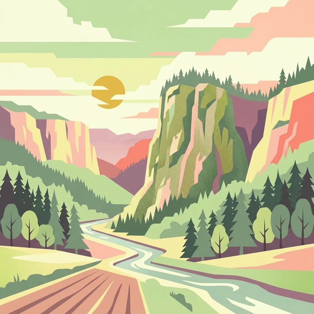
A flat-style graphic illustration of a winding stream flowing through a lush, forested valley flanked by rocky cliffs under a setting sun.

Rezerwat przyrody Dolina Potoku Rudno

Nature reserve

Park overview

Structured park overview, official facts, and landscape profile for Dolina Potoku Rudno Nature Reserve

Dolina Potoku Rudno Nature Reserve park facts, protected area profile, and essential visitor context

Review the core facts for Dolina Potoku Rudno Nature Reserve, including designation, size, terrain, visitor scale, habitats, and operating context in one park-focused overview.

About Dolina Potoku Rudno Nature Reserve

Dolina Potoku Rudno is a narrow protected corridor following the Rudno Stream through a stretch of upland forest north-west of Kraków. Its protected character stems from a combination of hydrological, forest, and geological features concentrated in a relatively small area, giving the reserve a layered identity that goes beyond a typical woodland fragment.

The reserve protects a section of the larger Orlej Forest, a wooded complex considered one of the more significant forest patches in the Tenczyńskie Hills area. Through this forest flows the Rudno Stream, and along sections of its course the stream has carved steep valley walls, in places forming almost cliff-like exposures in the slopes. This stream corridor is the physical backbone of the reserve and the reason for its name.

Ecologically, the reserve is built around well-preserved patches of alder floodplain forest (łęg olszowy) and alder swamp forest (ols), habitats associated with waterlogged valley floors and stream edges. These communities are relatively scarce in the heavily modified landscapes of the Kraków region and are the main reason the area received formal protection. On the drier upland margins, the forest transitions into typical mixed woodland characteristic of the local upland setting.

A secondary but distinctive element is the reserve's geological heritage. On its western side, the area encompasses the remains of a porphyry quarry known as Orlej, providing exposures of the volcanic rocks that underlie parts of the Kraków-Częstochowa Upland. This juxtaposition of living forest habitats and mineralogical exposures makes the reserve interesting both for biological and for geological-tourism perspectives.

Quick facts and research context for Dolina Potoku Rudno Nature Reserve

Dolina Potoku Rudno Nature Reserve is located in Małopolskie Voivodeship, spanning parts of Kraków and Chrzanów counties in southern Poland. It lies within the Garb Tenczyński mesoregion of the Kraków-Częstochowa Upland and is embedded in the Orlej Forest, which forms part of the Rudniański Landscape Park.

Created in 2001 by a voivodeship legal act, the reserve covers about 95.94 hectares with an additional buffer zone of about 100.88 hectares. Its highest point reaches approximately 318 meters above sea level, and the protected area centers on the valley of the Rudno Stream.

Protection and recognition

Examine documented protection scope, management frameworks, and official recognition records

Rezerwat przyrody Dolina Potoku Rudno Protection Status and Terrestrial Designation Records

Rezerwat przyrody Dolina Potoku Rudno maintains structured terrestrial protection status within official conservation inventories. Documented administrative records track management scope and baseline geographic designations across the protected landscape.

Protection details

Protection scope
Terrestrial
Transboundary protection
No
Buffer area
1.01 km²
Park context

Deeper park guide and search-rich context for Dolina Potoku Rudno Nature Reserve

Dolina Potoku Rudno Nature Reserve history, landscape, wildlife, and travel context

Explore Dolina Potoku Rudno Nature Reserve through its history, landscape character, ecosystems, wildlife, conservation priorities, cultural context, and seasonal travel timing in a structured park guide built for atlas discovery and search intent.

Dolina Potoku Rudno Nature Reserve history and protected-area timeline

The reserve was formally established in 2001, as recorded in the official journal of the Małopolskie Voivodeship (Dz. Urz. Woj. Małopolskiego z 2001 r. Nr. 4, poz. 16). Its creation formalized the protection of an already recognized ecologically and geologically valuable section of the Rudno Stream valley within the larger Orlej Forest.

Although the reserve itself is relatively recent, the protected landscape it forms part of has older roots. The Orlej Forest has long functioned as a recognizable local forest complex, and its integration into the Rudniański Landscape Park gives the reserve a broader landscape protection framework surrounding its core area. The legal designation as a partial protection reserve (ochrona częściowa) reflects a management approach that balances conservation with the continuation of certain traditional uses.

Dolina Potoku Rudno Nature Reserve ecosystems, habitats, and plant life

The nature of the reserve is defined primarily by the valley-bottom alder forests that line the Rudno Stream. Łęg olszowy, riparian alder woodland, occupies the wetter zones directly influenced by the stream, while ols, true alder swamp forest, develops where waterlogging is more persistent and soils become peat-influenced. Together these two habitat types create a near-natural floodplain forest mosaic that is increasingly rare in the heavily settled Kraków region.

Away from the stream, the slopes are covered by upland mixed forest typical of the Garb Tenczyński area, grading into drier woodland communities on higher ground. The transition between the moist stream forest and the drier upland forest gives the reserve a clear ecological gradient compressed into a narrow valley.

A botanical highlight of the reserve is the presence of giant horsetail (Equisetum telmateia, referred to in Polish as skrzyp olbrzymi). Its stands in the Rudno valley are noted as a recognizable curiosity and contribute to the site’s scientific and conservation interest. The combination of stream, swamp-edge forest, and specialized plant populations gives the reserve a disproportionate ecological weight relative to its modest size.
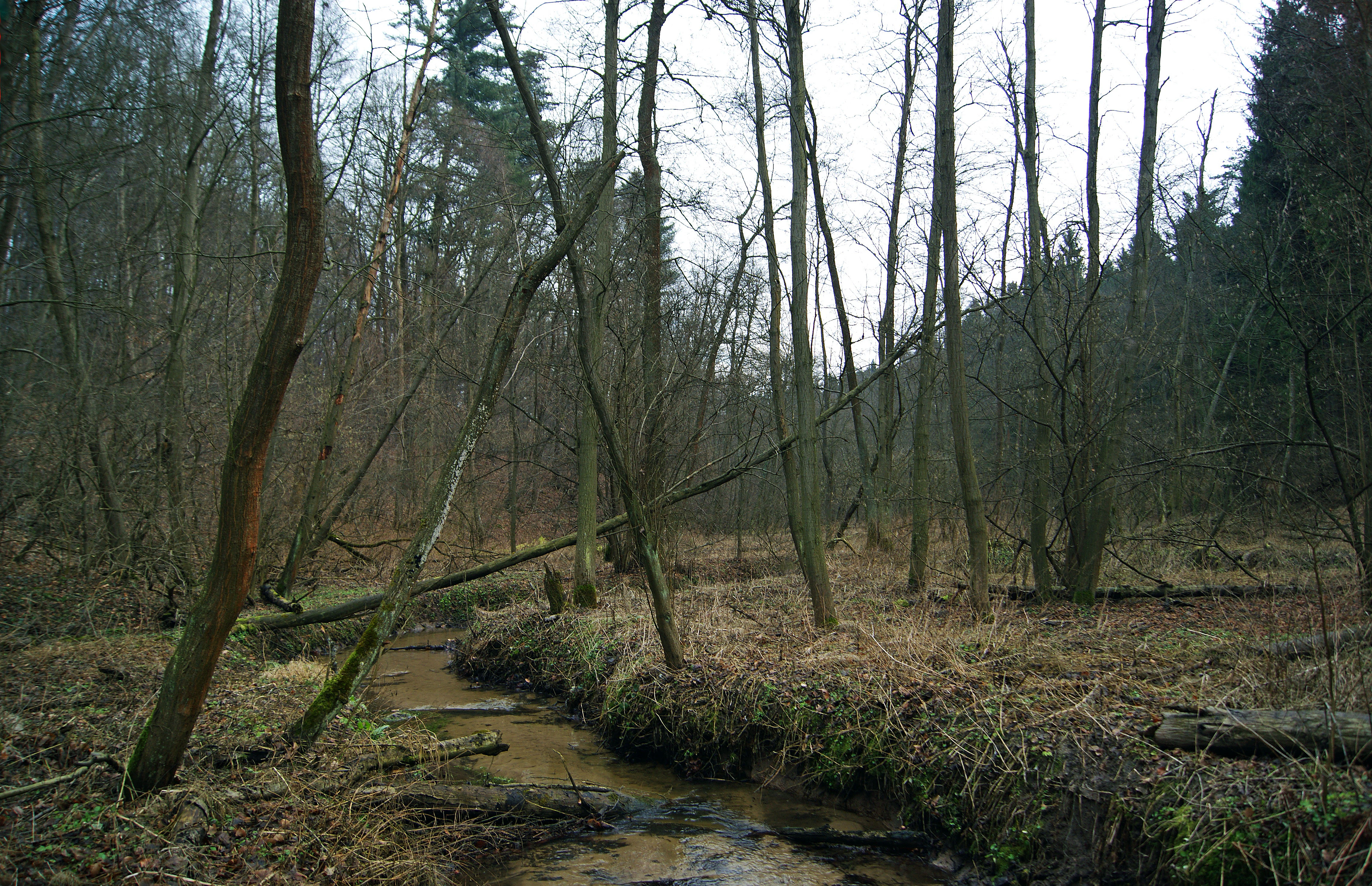
A small stream flowing through a dense forest with bare deciduous trees and mossy banks in early spring.
The Rudno stream winding through the forest of the Rudno Stream Valley Nature Reserve.

Dolina Potoku Rudno Nature Reserve conservation status and protection priorities

The conservation value of Dolina Potoku Rudno rests on three main pillars. The first is the preservation of near-natural alder floodplain and swamp forest communities, łęg olszowy and ols, which are uncommon habitat types in the regional landscape and have been reduced or degraded by drainage and agricultural conversion elsewhere in the Kraków-Częstochowa Upland.

The second pillar is the protection of the hydrological system of the Rudno Stream itself, including the steep valley sections where the watercourse has cut into forest slopes. Maintaining this corridor supports both the forest communities and species that depend on stream margins and wet woodland.

The third pillar is the in-situ conservation of the old porphyry quarry exposures at the Orlej site, which preserve geological features of regional significance. Designated as a partial protection reserve within the broader Rudniański Landscape Park, the site benefits from a layered protection framework that combines strict reserve status in the core zone with landscape-level management in the buffer zone.

Monthly climate preview

Long-term monthly temperature averages and precipitation patterns for Rezerwat przyrody Dolina Potoku Rudno

Rezerwat przyrody Dolina Potoku Rudno Climate Normals and Annual Temperature Rhythm

Historical climate records for Rezerwat przyrody Dolina Potoku Rudno track measured monthly variations in average temperature and precipitation rates from representative point sampling. Detailed twelve-month climatology data provides complete analytical context regarding annual environmental rhythms at this protected site.
Annual mean8 °C
-4 °C19 °C
Jan-4°
Feb-2°
Mar
Apr
May13°
Jun17°
Jul19°
Aug19°
Sep14°
Oct
Nov
Dec-2°
Warmest month
July

19.2 °C

Coolest month
January

-3.5 °C

Wettest month
July

3.5 mm/day

Driest month
December

1.5 mm/day

Park location guide

Geography guide, regional context, and park location map for Dolina Potoku Rudno Nature Reserve

Dolina Potoku Rudno Nature Reserve park geography, regions, and map view in Poland

Understand where Dolina Potoku Rudno Nature Reserve sits in Poland through a broader geographic reading of the surrounding landscape, nearby location context, and its mapped position within the national park landscape.

How Dolina Potoku Rudno Nature Reserve fits into Poland

Poland, officially the Republic of Poland, is a Central European country spanning from the Baltic Sea in the north to the Carpathian Mountains in the south. It borders Germany, Czech Republic, Slovakia, Ukraine, Belarus, Lithuania, and Kaliningrad Oblast. The country has a temperate climate, diverse landscapes, and is known for its rich history, cultural heritage, and strong economic position within the EU.

Wider geography shaping Dolina Potoku Rudno Nature Reserve in Poland

Poland occupies 312,696 km2 in Central Europe, extending from the Baltic Sea coast in the north to the Sudetes and Carpathian Mountains in the south. It borders Germany to the west, Czech Republic and Slovakia to the south, Ukraine and Belarus to the east, and Lithuania and Kaliningrad Oblast to the northeast. The landscape includes lowland plains, uplands, and mountain ranges.

Map view of Dolina Potoku Rudno Nature Reserve

Use this park location map to pinpoint Dolina Potoku Rudno Nature Reserve in Poland, understand its exact geographic position, and read its mapped placement within the surrounding landscape more clearly.

Pigeon | © OpenStreetMap contributors

Visual exploration of forest habitats, stream gorges, and protected terrain

Rezerwat przyrody Dolina Potoku Rudno Photos and Landscape Scenery

Visual documentation of Rezerwat przyrody Dolina Potoku Rudno reveals the complex terrain of the stream valley, rocky gorges, and protected woodland habitats. Detailed photography provides direct insight into the ecological character and geological features defining this protected natural reserve.

A deciduous forest floor covered in a thick layer of fallen brown autumn leaves, with slender tree trunks rising upward and moss-covered rocks scattered among the trees.

A small stream flowing through a dense forest with bare deciduous trees and mossy banks in early spring.

A small, shallow stream winds through a deciduous forest with a rocky, mossy slope on the right bank.

A wide shot showing a valley with fields in the foreground, leading toward forested hills under an overcast sky.

Park atlas

Compare regional stream valleys and protected forests across the surrounding landscape

Parks Near Rezerwat przyrody Dolina Potoku Rudno and Connected Protected Landscapes

Browsing nearby protected areas allows travelers to compare forest reserves and stream corridors adjacent to Rezerwat przyrody Dolina Potoku Rudno. Expanding the regional park comparison reveals broader ecological patterns across the Kraków Upland.
Protected landscapeLesser Poland Voivodeship
About 4.7 km away#1 closest

Northeast

Tenczyński Park Krajobrazowy: Protected Landscape and Karst Geography in Lesser Poland

Mapped limestone ridges and forest corridors near Kraków

Discover Tenczyński Park Krajobrazowy, a protected landscape park located in Lesser Poland Voivodeship. This geographic study covers the Garb Tenczyński ridge, where karst limestone formations, small caves, and volcanic outcrops shape a diverse terrain spanning from marshy lowlands to upland forest ridges.

Area
136.581 km²
Established
1981
Relief
Upland
Climate
Temperate
Protected areaLesser Poland Voivodeship
About 5.4 km away#2 closest

Southeast

Rudniańskie Modraszki, Kajasówka: Protected Area Geography and Habitat Mapping

Lesser Poland Voivodeship, Southern Poland

Rudniańskie Modraszki, Kajasówka represents a core conservation zone defined by its rare xerothermic and molinia meadow habitats. Spanning the transition between ridge and depression landscapes, this area provides a structured look at how small-scale habitat protection supports essential butterfly populations within the diverse geography of southern Poland.

Area
4.25 km²
Established
2011
Relief
Upland
Scope
Terrestrial
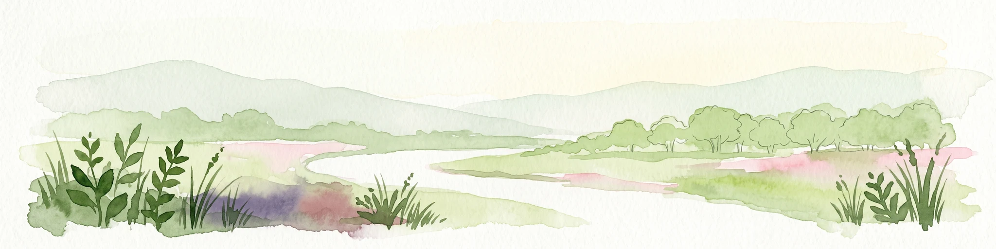
A horizontal watercolor illustration showing a peaceful river flowing through a lush green valley with distant rolling hills and wild grasses in the foreground.
Nature reserveLesser Poland Voivodeship
About 7.4 km away#3 closest

East

Rezerwat przyrody Dolina Mnikowska: A Karst Landscape Reserve in Lesser Poland

Mapped limestone gorge and forest protected area geography

Rezerwat przyrody Dolina Mnikowska features a striking limestone gorge and forest ecosystem within the Lesser Poland Voivodeship. This protected area offers a deep look into the karst topography, river-carved cliffs, and diverse habitat zones of the Garb Tenczyński upland region.

Area
0.209 km²
Established
1963
Relief
Upland
Climate
Temperate
Watercolor painting of a pastoral landscape featuring soft, rolling hills, a line of trees, and muted earth tones, presented as a wide, horizontal strip.
Nature reserveLesser Poland Voivodeship
About 12 km away#4 closest

North

Dolina Eliaszówki Nature Reserve: Protected Karst Valley and Forest Geography in Lesser Poland

A study of limestone outcrops and mature forest habitats in southern Poland

Dolina Eliaszówki Nature Reserve encompasses a deeply incised limestone valley characterized by diverse forest communities and complex karst geomorphology. The reserve protects an integrated network of rock outcrops, caves, and springs, framing historical monastic landmarks within a continuous protected forest corridor. It offers an essential view into the layered natural and cultural history of the Kraków-Częstochowa Upland.

Area
1.096 km²
Established
1989
Relief
Upland
Climate
Temperate
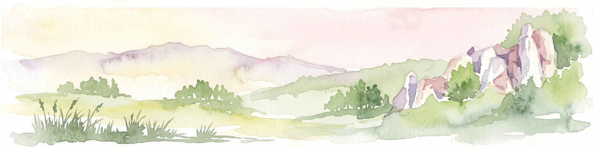
Watercolor painting of a valley landscape with rolling hills, limestone rock formations on the right, and soft green vegetation.
Nature reserveLesser Poland Voivodeship
About 13 km away#5 closest

Northeast

Rezerwat przyrody Dolina Racławki: Protected Limestone Valley and Karst Geography

Explore the forest mosaic and geological cliff features in Lesser Poland

The Rezerwat przyrody Dolina Racławki landscape reserve is a significant protected area in the Olkuska Upland. Spanning a long limestone valley, the reserve features a network of caves, rock shelters, and steep cliffs built from Carboniferous and Jurassic bedrock. Its combination of layered forest communities and protected orchid populations marks it as a vital site for understanding the natural heritage and regional geography of southern Poland.

Area
4.739 km²
Established
1962
Relief
Upland
Climate
Temperate
Watercolor painting of a rolling landscape featuring a line of evergreen trees and soft hills under a light, warm sky.
Nature reserveLesser Poland Voivodeship
About 16 km away#6 closest

Northeast

Dolina Szklarki Nature Reserve: Atlas Map and Protected Landscape Geography

Exploring forest communities and limestone rock formations in Lesser Poland.

Analyze the protected geography of Dolina Szklarki Nature Reserve, a key nature reserve in the Kraków-Częstochowa Upland. The area features a dense concentration of limestone cliffs, distinct forest ecosystems, and karst valley terrain within Lesser Poland Voivodeship.

Area
0.467 km²
Established
1989
Relief
Upland
Climate
Temperate
A pale, minimalist watercolor illustration depicting a soft, winding river valley surrounded by distant hills and coniferous forests.
Protected landscapeLesser Poland Voivodeship
About 17 km away#7 closest

East

Bielańsko-Tyniecki Park Krajobrazowy Protected Landscape and Regional Geography

Limestone terrain and Vistula valley river corridors in Lesser Poland

Bielańsko-Tyniecki Park Krajobrazowy anchors a complex protected landscape near Kraków, featuring dramatic limestone rock groups, ancient forest complexes, and extensive river meadows. This detailed overview maps its karst caves, Natura 2000 sites, and cultural heritage, documenting the rare overlap of upland ridges and alluvial floodplains within the Lesser Poland Voivodeship.

Area
63.591 km²
Established
1981
Relief
Upland
Climate
Temperate
A horizontal watercolor painting of a green meadow, wetland area, and a soft forest line against distant hills.
Nature reserveLesser Poland Voivodeship
About 18 km away#8 closest

Southeast

Skawiński obszar łąkowy Nature Reserve: Geography and Protected Landscape Atlas

Lesser Poland regional meadow habitat mapping.

The Skawiński obszar łąkowy nature reserve protects a mosaic of wet, variable-moisture meadows that support rare butterfly populations. Situated on the southern fringe of the Kraków region, this site represents a crucial example of traditional lowland grassland conservation within a busy urban corridor. Access geographic context and boundary information for this essential Lesser Poland protected area.

Area
0.441 km²
Established
2011
Relief
Lowland
Scope
Terrestrial

Common questions about visiting, size, designation, and location context for Dolina Potoku Rudno Nature Reserve

Dolina Potoku Rudno Nature Reserve FAQs for park facts, access, geography, and protected area context

Find quick answers about Dolina Potoku Rudno Nature Reserve, including protected-area facts, park geography, trail and visitor context, and how the park fits into its surrounding country and regional landscape.
MoriAtlas Explorer

Continue Your Protected Areas Search Across the Global Atlas

Deepen your exploration by continuing the structured search for national parks and protected areas worldwide. Utilize the comprehensive filtering capabilities to compare different conservation landscapes and refine your understanding of global park geography. Discover more about the distribution and characteristics of protected natural areas.

Global natural geography