
Why Rheinniederung Neuburg-Wörth stands out
Rheinniederung Neuburg-Wörth is especially known for the rare combination of high-quality floodplain habitats packed into a short stretch of the Upper Rhine. The site anchors one of Germany's most important surviving softwood floodplain forests (Weichholz-Auenwälder), which hold a unique national status and outstanding European significance. It is also recognized for the Wörther Altrhein, where water caltrop, European water nymph and yellow water-lily coexist in the same oxbow. The area is further distinguished by its strong populations of rare dragonflies such as the lilypad whiteface, by important amphibian breeding waters for the northern crested newt, and by extensive wet meadows along the main Rhine dike that support the largest and most stable population of the dusky large blue butterfly in the Palatinate Rhine plain. Together, these features place the area among the most ecologically valuable floodplain landscapes of the entire Upper Rhine valley.
Rheinniederung Neuburg-Wörth history and protected-area timeline
The formal protection of the Rheinniederung Neuburg-Wörth is rooted in European nature conservation law rather than in a long-standing national park tradition. The proposal to designate the area as a Fauna-Flora-Habitat site under the EU Habitats Directive was submitted to the European Commission in May 2004, and the formal confirmation of the site followed in November 2007. The designation tied the landscape into the pan-European Natura 2000 network, a system designed to halt the ongoing decline of wild species and natural habitats across the European Union.
Beneath this formal layer lies a much older history of human and ecological change. For centuries the area between Neuburg and Wörth formed part of the active floodplain of the Upper Rhine, regularly shaped by flooding, channel migration and sediment deposition. The construction of levees, most notably the main Rhine dike and the Lauter dike near Neuburg and Berg, fundamentally altered the hydrology of the plain. These interventions reduced the frequency of natural flooding and accelerated drying in older meanders, a process that has continued to shape conservation management debates well into the twenty-first century.
Within the protected area, several nature reserves were established earlier and later incorporated into the FFH framework. The large Goldgrund reserve was placed under protection in 1997, while the smaller reserves of Stixwörth, Kleines Altwasser, Neuburger Altrhein western part and Neuburger Altrhein southern part were all designated in 1983. Together they represent decades of progressive recognition of the floodplain's value. Since the early 2000s, additional conservation efforts have included hydrological restoration, desilting of water bodies, encouragement of traditional meadow management for butterfly habitats, and pilot projects such as the Interreg initiative Cistude sans frontière aimed at supporting the European pond terrapin in cooperation with French partners just across the Lauter.
Rheinniederung Neuburg-Wörth landscape and geographic character
The physical landscape of the Rheinniederung Neuburg-Wörth is a textbook example of a Rhine floodplain shaped by both geological subsidence and centuries of river dynamics. The broader setting is the Upper Rhine Graben, a tectonic rift valley that has accumulated thick Quaternary deposits of gravel, sand and clay over millions of years. Within this geological framework, the immediate area exhibits a stepped topography: the higher, older Lower Terrace lies to the west, while the active floodplain and the recessed marginal depressions drop down toward the modern Rhine channel.
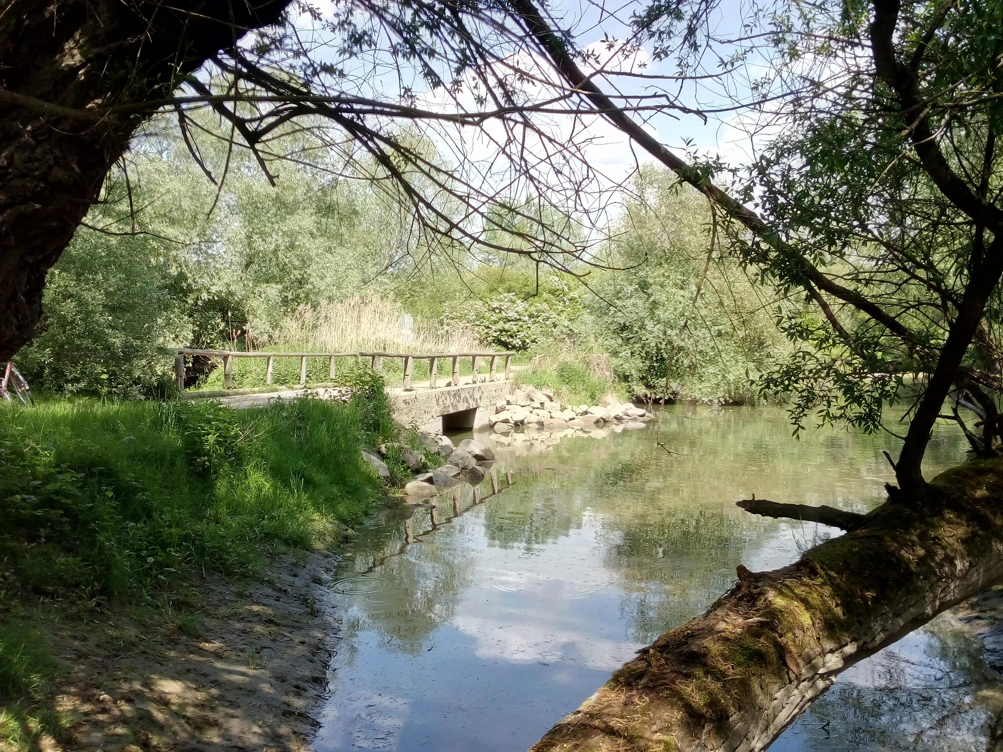
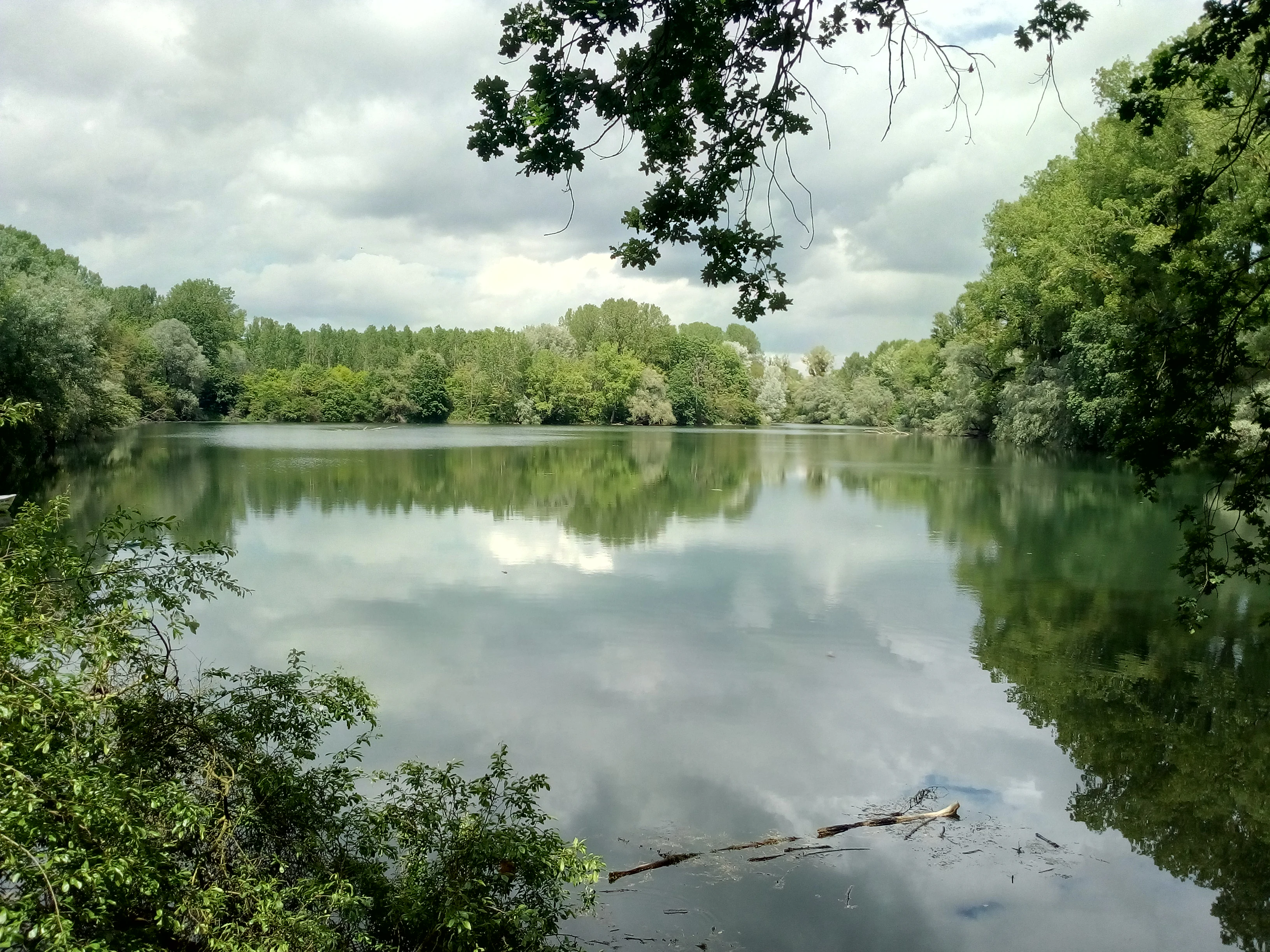
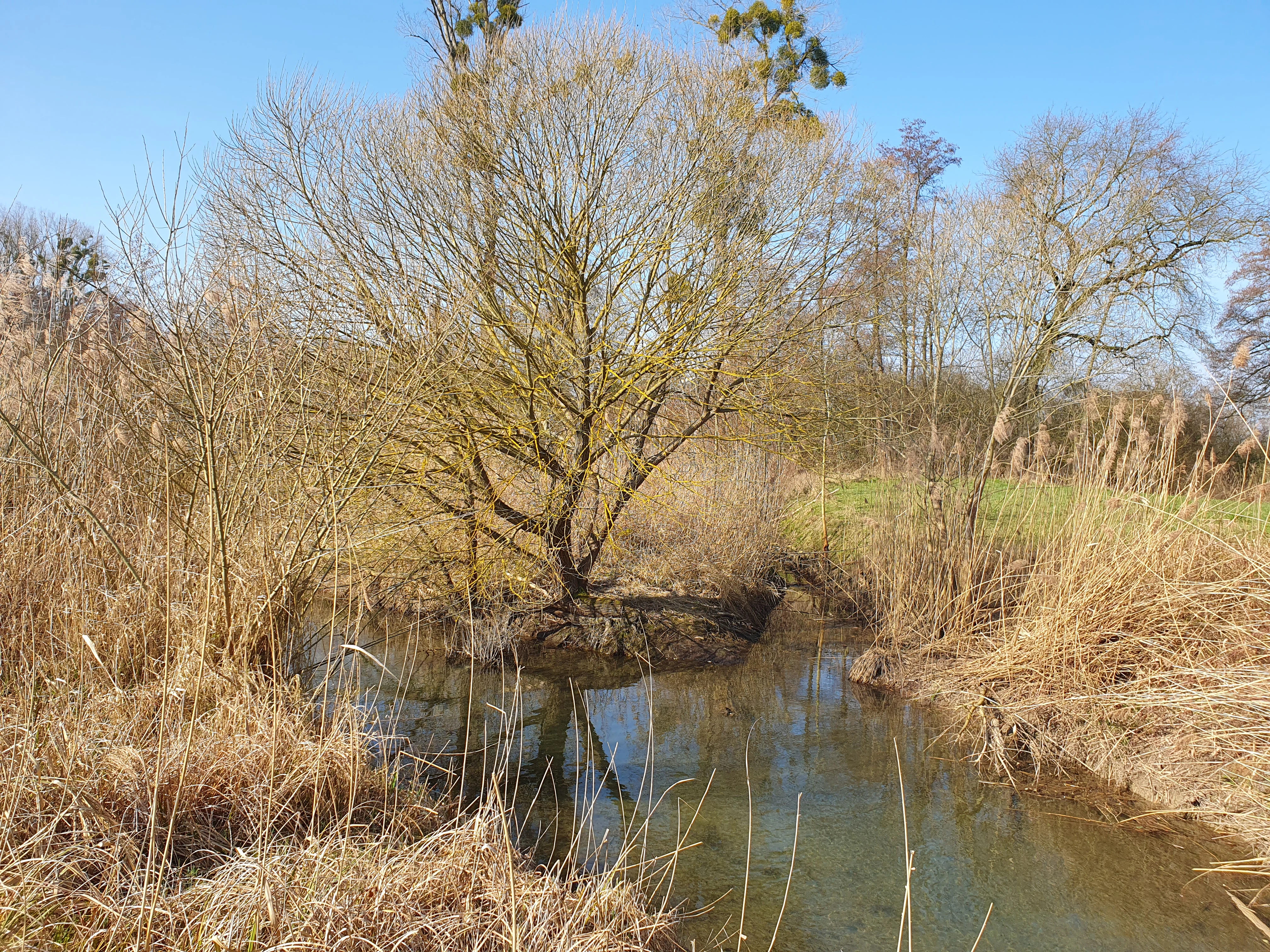
Hydrology defines the surface character. A network of old Rhine meanders, including the Hagenbacher Altrhein, the Wörther Altrhein and the various Neuburg arms, threads through the plain alongside more recent channels, gravel pit lakes and drainage ditches. Groundwater levels are generally shallow, fluctuating between roughly one and four meters below the surface, with the lowest depths found in the deeper meanders and the marginal Randsenke. High water conditions in early spring frequently leave sections of the Randsenke and the old meander bottoms temporarily flooded.
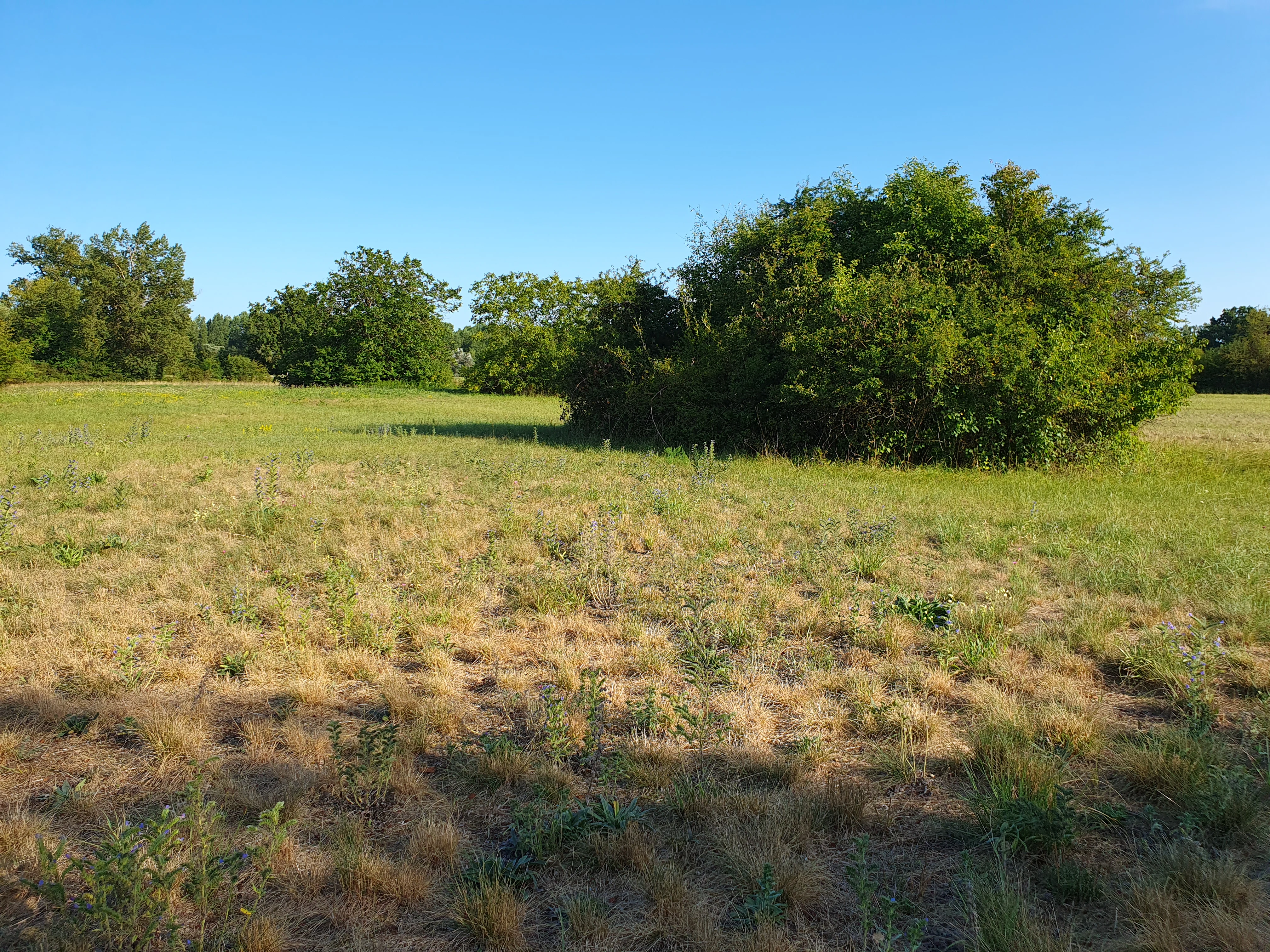
Vegetation patterns closely follow this ground mosaic. The Altrheine are fringed by large belts of common reed and tall sedge reedbeds, often fronted by floating and submerged aquatic plant communities. Slightly higher levees and channel banks support softwood gallery forests dominated by willow and poplar, while the elevated terraces carry mature beech and oak-hornbeam forests. Along the dikes, species-rich dry and mesic grasslands reflect both the drier substrate and the long tradition of extensive mowing. The Wörther Altrhein in particular stands out as the only oxbow on the Rhineland-Palatinate Upper Rhine where water caltrop, European water nymph and yellow water-lily still share the same water body.
Rheinniederung Neuburg-Wörth ecosystems, habitats, and plant life
Ecologically, the Rheinniederung Neuburg-Wörth represents one of the most tightly interwoven floodplain ecosystems in southwestern Germany. Aquatic, amphibious and terrestrial habitats meet across very short distances, producing a habitat mosaic of extraordinary density. Old Rhine arms act as the hydrological backbone of the area, while adjacent slot-like channels, ponds and gravel pit lakes create the structural complexity required for rare amphibians, dragonflies and fish.
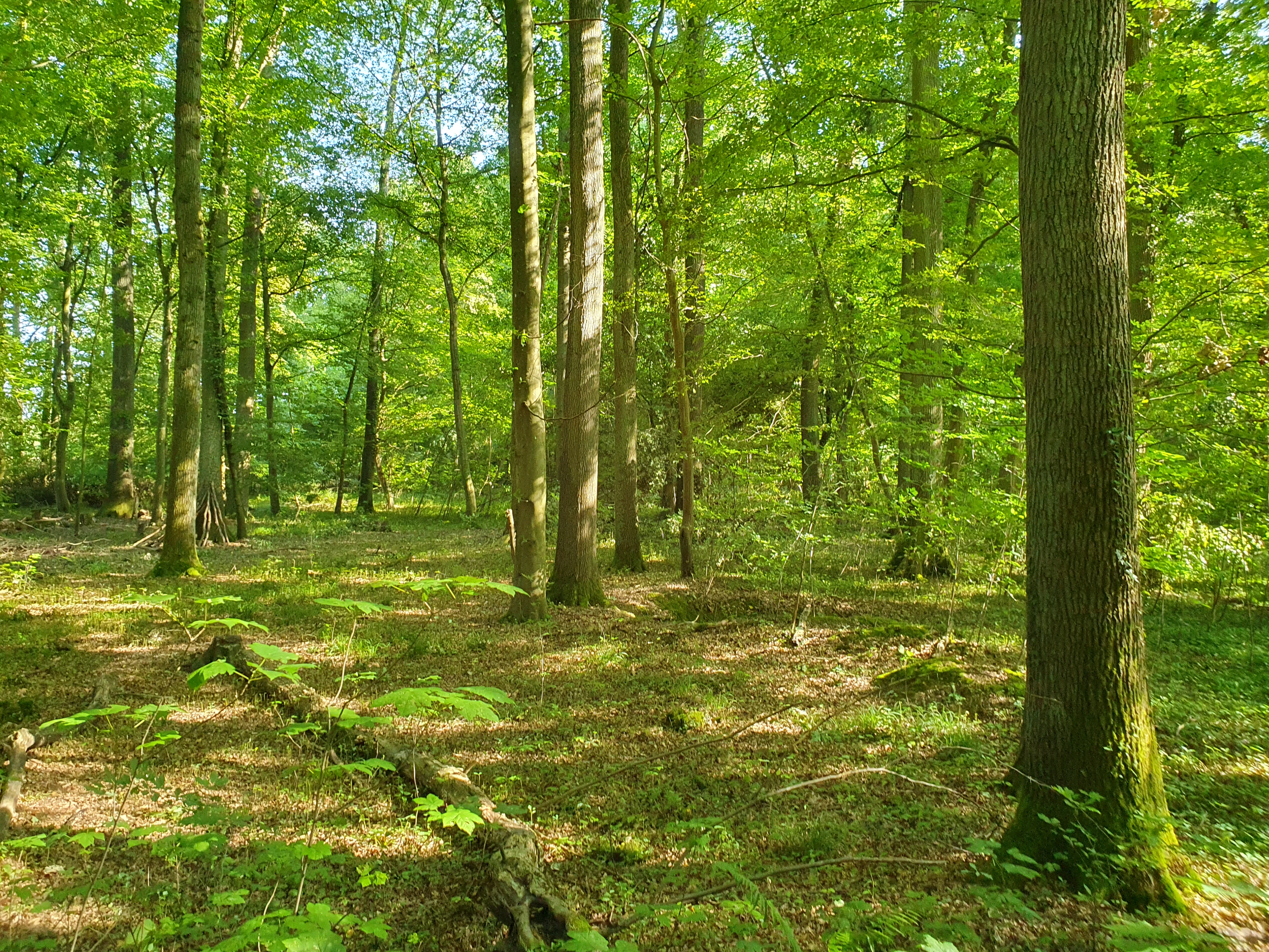
The site supports nine Annex I habitat types under the EU Habitats Directive, ranging from nutrient-rich natural lakes through flowing water bodies with submerged vegetation, to calcareous dry grasslands, species-rich hay meadows, tall herb communities, hardwood floodplain forests and the particularly significant softwood gallery forests. The Waldmeister-Buchenwald dominates the woodland cover, accounting for the great majority of the forested area, while oak-hornbeam forests occupy smaller, higher-lying sections and softwood floodplain forests form narrow but ecologically critical ribbons along the channels.
The interplay of hydrology, soils and traditional land use is what gives the area its biological richness. Soils vary from calcareous alluvial deposits in the active floodplain to decalcified loams in older meanders, supporting different plant communities only meters apart. The long tradition of low-intensity meadow management along the dikes and in the Lohbuschwiesen has preserved flower-rich grasslands that host specialized butterflies. Small-scale structures such as unmown field margins, fallow strips, dead wood and veteran oaks provide microhabitats for saproxylic insects and rare mosses such as the green broom moss, creating a layered ecological network that extends from open water through marshland and meadow to mature forest canopy.
Rheinniederung Neuburg-Wörth wildlife and species highlights
The faunal diversity of the Rheinniederung Neuburg-Wörth is structured around the same habitat mosaic that defines its ecological value. Amphibians are particularly prominent: the northern crested newt maintains a viable population of more than 150 breeding adults spread across at least a dozen water bodies between Wörth and Berg, while other rare species including the tree frog, moor frog, natterjack toad, palmate newt and smooth newt also use the diverse ponds, ditches and seasonal floodwaters. Several fish species of Annex II interest, including the weatherfish and the spined loach, find refuge in the old channels, with the Wörther Altrhein alone holding nationally significant spined loach populations.
Migratory fish highlight the connectivity of the area with the main Rhine. Allis shad, sea lamprey, river lamprey and Atlantic salmon rely on the gravel-rich groyne fields of the Rhine for spawning, with the old channels providing extended juvenile habitat. The European weatherfish is particularly associated with the Stixwörth oxbow and the drainage ditches of the Lohbuschwiesen, where careful management is required to protect its habitat from mechanical dredging. The great pond mussel, another species of strong conservation concern, forms notable populations in the Alte Lauter and contributes to the underwater food web.
Birdlife reflects the area's combination of open water, reedbed, meadow and forest. Reed-nesting species such as the purple heron, little bittern and great reed warbler use the oxbows as their only breeding grounds in Rhineland-Palatinate. Forest stands like the Oberwald near Wörth support several woodpecker species, red kite, black kite and stock dove, while floodplain meadows and dike grasslands attract waders and ground-nesting species. Overlapping bird protection areas for the Wörther Altrhein, the Goldgrund and Daxlander Au and the western Neuburg oxbow collectively cover thousands of hectares for breeding, wintering and migratory species. Invertebrate diversity is equally notable: the rare dragonfly lilypad whiteface breeds in the Stixwörthsee and along the Adria gravel pit near Wörth, the dusky large blue butterfly maintains the largest and most stable population of the Palatinate Rhine plain along the main dike, and the threatened poplar lappet moth has been recorded near Hagenbach, illustrating how even small-scale habitat features sustain nationally rare species.
Rheinniederung Neuburg-Wörth conservation status and protection priorities
The conservation importance of the Rheinniederung Neuburg-Wörth lies in its role as a refugium for floodplain biodiversity in a heavily regulated river system. The Upper Rhine has been straightened, diked and modified over centuries, leaving very few areas where the original ecological dynamics of the floodplain still operate. Within this changed landscape, the Rheinniederung Neuburg-Wörth retains a remarkable concentration of rare species and habitat types strictly protected under the EU Habitats Directive and the EU Birds Directive.
Its softwood floodplain forests have a unique national standing, with an exceptionally small total area in Rhineland-Palatinate estimated at around 500 hectares, and outstanding European significance. The Wörther Altrhein is the only oxbow on the Rhineland-Palatinate section of the Upper Rhine where water caltrop, European water nymph and yellow water-lily occur together, a combination that required desilting and water quality improvements to recover from near-extinction. Species of community interest such as the dusky large blue butterfly, the great copper butterfly, the stag beetle and the vertigo snail depend on very specific hydrological and management conditions, making the site a critical benchmark for conservation practice in the Upper Rhine valley.
Management efforts focus on maintaining traditional land use, restoring hydrological connectivity and reducing conflicting pressures. Strategy documents call for the maintenance of species-rich meadows through adapted mowing regimes, the protection of veteran trees and deadwood for saproxylic species, the retention of natural shoreline dynamics in the old channels, and the limitation of recreational and extractive uses such as gravel mining and intensive angling. The site is also embedded in broader landscape measures, including the planned creation of additional breeding waters for amphibians in the Daxlander Au, Stixwörth and Oberwald, and the conservation of European pond terrapin populations through the cross-border Interreg project with French partners along the Lauter. Together these measures aim to preserve the floodplain's exceptional combination of habitats and species while acknowledging the long-standing agricultural, forestry and recreational interests of the surrounding communities.
Rheinniederung Neuburg-Wörth cultural meaning and human context
The cultural context of the Rheinniederung Neuburg-Wörth is closely tied to the human history of the Upper Rhine floodplain. The Lauter river, which flows through and along the southern edge of the protected area, has historically marked the border between German and French territory; nearby settlements such as Neuburg, Berg, Hagenbach and Wörth grew up along the dike lines and transportation routes that connected Strasbourg with the interior of the Palatinate.
Traditional land use has shaped the open sections of the landscape for centuries. Dike meadows and floodplain grasslands have been mown and grazed for hay production and livestock, maintaining open habitats that host rare butterflies and herbs. Old village features, such as the lime tree near the former railway keeper's house west of Neuburg, the historic plane tree avenue planted around 1860 in Berg, and the Hagenbach Kalkloch natural monument, link the protected area to local heritage and everyday rural identity.
The Lauter border region has also fostered long-standing cross-border cooperation in conservation. The Interreg project Cistude sans frontière, focusing on the European pond terrapin, brought French and German partners together to restore wet habitats along the Lauter and to demonstrate how cultural landscapes on both sides of the border can support shared species. Today, the area is part of a wider European network of floodplain heritage sites, with cycle routes such as the Rheinradweg and the Pamina Radwanderweg allowing visitors to experience the cultural and ecological landscape simultaneously.
Top sights and standout views in Rheinniederung Neuburg-Wörth
Rheinniederung Neuburg-Wörth concentrates an exceptional range of floodplain features within a compact floodplain section of the southern Upper Rhine. Its softwood gallery forests are among the rarest of their kind in Germany and carry outstanding European conservation value. The oxbows, and especially the Wörther Altrhein, host floating plant communities rarely found elsewhere on the Rhineland-Palatinate Rhine, while the diverse amphibian breeding waters maintain one of the region's most viable populations of the northern crested newt.
Other highlights include the rare dragonfly lilypad whiteface along the Stixwörthsee and the gravel pits near Wörth, the largest and most stable population of the dusky large blue butterfly in the Palatinate Rhine plain along the main dike, and vast species-rich hay meadows that depend on traditional mowing management. The site also offers easy public access through regional cycling and walking routes that connect the floodplain with the historic villages and the Lauter cross-border landscape.
Best time to visit Rheinniederung Neuburg-Wörth
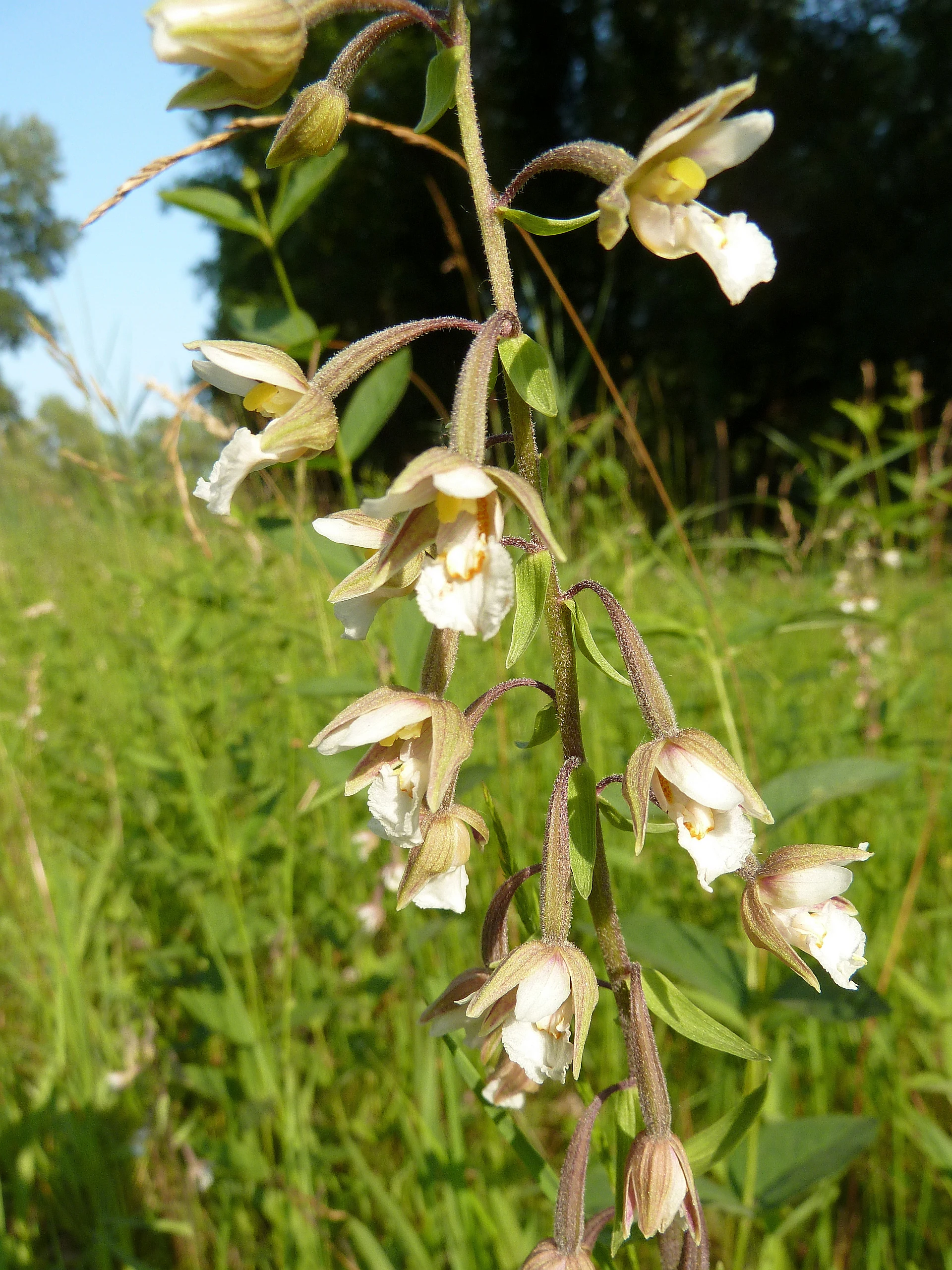
Late spring and early summer are usually the most rewarding periods to experience the Rheinniederung Neuburg-Wörth, when amphibian breeding activity peaks in the old channels and ponds and when the floating and submerged aquatic vegetation of the oxbows is in full development. Late spring also brings the highest water table in the floodplain, with occasional temporary flooding in the marginal depressions that highlights the area's riverine character.
Early summer is favorable for observing reed-nesting birds, dragonflies such as the lilypad whiteface, and the flowering meadows along the main Rhine dike. Late summer and early autumn instead emphasize the botanical richness of dry grasslands and the ripening seeds of the floodplain meadows, while still offering comfortable conditions for walking and cycling along the marked regional routes. Winter brings its own quiet appeal, with waterbirds gathering on the unfrozen oxbows and the bare forest stands making structural features such as old softwood galleries and veteran oaks much more visible.