
Mori Atlas logo
Park guides

Focused guides detailing wetland habitats and seasonal exploration dynamics

Expert Resource Collection for Exploring Río Pilcomayo National Park Landscapes

Access a structured collection of resources for understanding the geography and Humid Chaco ecoregion features of Río Pilcomayo National Park. These guides provide essential context on the interplay between the Pilcomayo River floodplain and the park's diverse wetland habitats to support informed exploration.

Related tags

National ParkWetlandsFloodplainChacoRamsar Site

A vast wetlands wilderness in Argentina's Humid Chaco, protecting critical floodplain ecosystems on the Paraguay border

Río Pilcomayo National Park

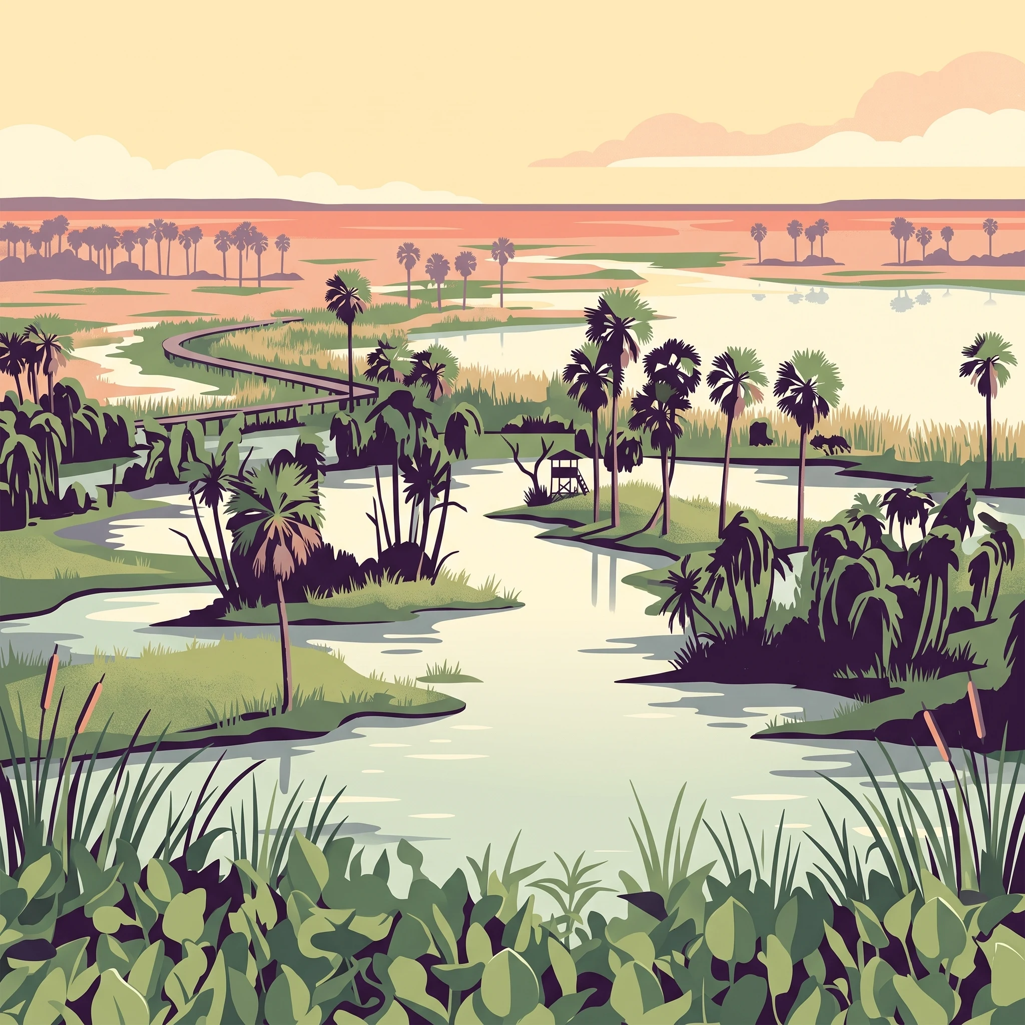
Río Pilcomayo National Park protects a representative sample of the Eastern or Humid Chaco ecological region, one of South America's most distinctive biomes. The park's flat, low-lying terrain was formed through geological processes involving the filling of a Paleozoic crystalline rock depression with both organic and inorganic sediments, creating the sedimentary basin that underlies the protected area. The park's eastern portions feature silts and clays creating less permeable soils, while western areas contain coarser, more porous soils. This subtle variation in terrain elevation, though minimal, plays a crucial role during the wet season when the area becomes covered with interconnected pools and channels forming in the lowest-lying zones. The park's location on the border with Paraguay places it at the heart of one of South America's most important wetland systems. The Pilcomayo River, after which the park is named, serves as the lifeblood of the ecosystem, with its seasonal flooding creating the extensive marshes and lakes that define the park's character. The administration operates from Laguna Blanca, with a visitor recreation area offering camping facilities, trails, and observation platforms overlooking key wetland areas.

Location
Argentina
Park type
National park
Established
1951
Area
518.9 km²
Río Pilcomayo National Park Protected Area
1 guide

Compare topic-led resources for wetland exploration and seasonal timing

Published Guides for Río Pilcomayo National Park

Published guides for Río Pilcomayo National Park provide focused reference material for understanding seasonal wetland conditions and wildlife observation windows. Readers can review specific timing topics to match individual research questions regarding temperate months and dynamic water levels.
MoriAtlas Explorer

Continue Exploring Río Pilcomayo National Park's Mapped Landscape and Geography

Dive deeper into the unique protected landscape of Río Pilcomayo National Park by exploring its detailed geographic context and mapped boundaries within Formosa Province. Understand the specific wetland terrain and ecological significance that make this national park a critical conservation area. This exploration into its atlas representation reveals the natural patterns and protected land distribution vital for regional geographic discovery.