
A comprehensive index of glacial deposits, alluvial terrain, and geological markers
Geographic Features and Natural Landscapes of Riserva naturale speciale della Bessa
Explore the structured collection of named natural features associated with the Riserva naturale speciale della Bessa in northern Piedmont. This index identifies the diverse landscape elements defined by the intersection of Quaternary glacial history and historical human activity, including the expansive morainic plateau, erratic boulders, and erosional channels. Analyze the spatial distribution of these distinct landforms that shape the protected area.
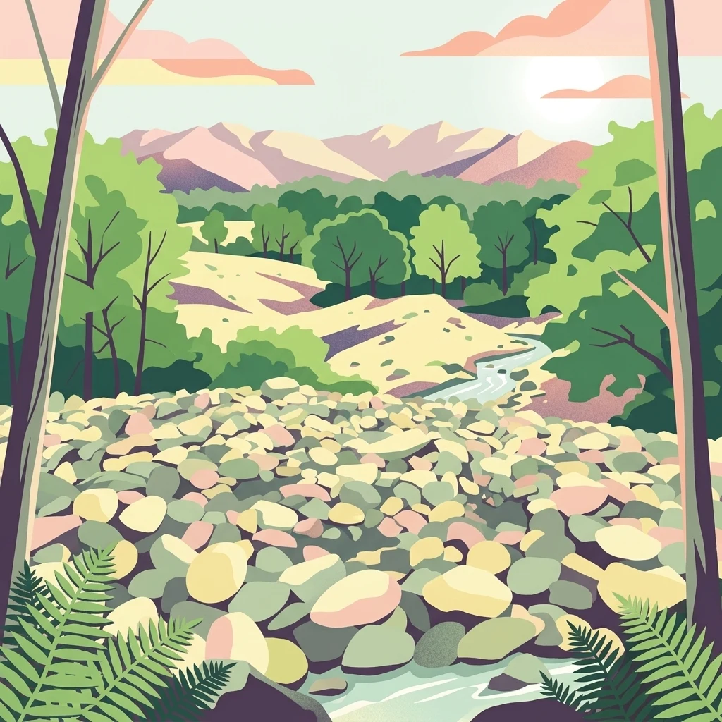
Stones lead six exact types recorded inside the reserve
Explore ten named features within Riserva naturale speciale della Bessa
Regional alpine structures and connected mountain networks.
Mountain ranges
Explore the mountain range entities linked to Riserva naturale speciale della Bessa. This collection highlights the interconnected highland terrain and geological systems that frame the reserve, providing a spatial perspective on the northern Piedmont foothills and adjacent alpine massifs.
Mapping land-water interfaces in the Piedmont moraine reserve.
Peninsulas
Access a structured collection of peninsula features found in Riserva naturale speciale della Bessa. This data focuses on the spatial arrangement and physical boundaries of these projections as they relate to the alluvial deposits and erosional channels defining the local landscape.
Continue exploring the Riserva naturale speciale della Bessa landscape map
Dive into the detailed geography of this Italian nature reserve through our structured mapping of its glacial and archaeological features. Use this MoriAtlas resource to understand the distinct morainic plateau, erratic boulders, and the historical mining imprint that defines the Bessa landscape near Biella.