
Why Rohrlache von Heringen stands out
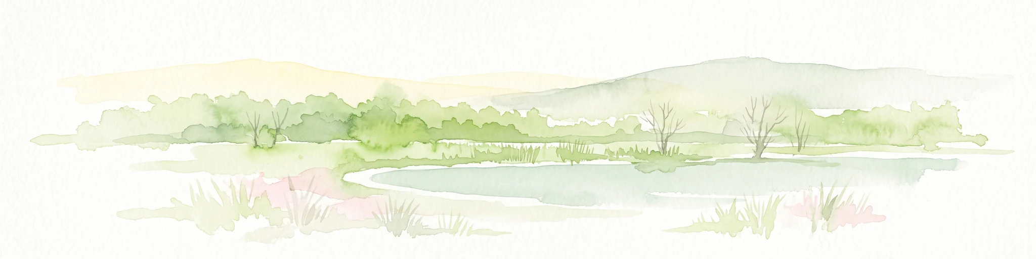
The Rohrlache is best known as the largest inland saline wetland in Hesse, a status that arises from the unusual combination of natural Zechstein salt geology and the long-lasting influence of the regional potash mining industry. Visitors and ecologists associate the site with its open salt meadows, shallow saline pans, and characteristic halophytic vegetation. Equally prominent in the park's identity is its role as a refuge for waterbirds and amphibians. The wetland functions as a breeding, resting, and stopover area for species such as bluethroat, marsh harrier, white stork, and great egret, and supports a significant population of common frogs alongside protected amphibian species including tree frog and natterjack toad.
Rohrlache von Heringen history and protected-area timeline
The conservation history of the Rohrlache began in July 1979, when approximately 47 hectares of the floodplain were entered into Hesse's nature reserve register by order of the regional forestry and nature conservation office in Kassel. The stated purpose of the designation was to secure a wetland considered exceptionally valuable from ornithological, herpetological, and geobotanical perspectives, with species-rich salt flora and significant importance as a breeding and resting area for rare and threatened birds, as well as a spawning ground and habitat for numerous amphibians. In October 1988, the reserve was re-designated with an expanded footprint, adding further northern and southwestern areas carrying salt vegetation.
Parallel to this domestic protection, the Rohrlache was proposed in April 1999 as a European Fauna-Flora-Habitat site with essentially the same boundaries and conservation aims. After standard data forms in 1997 highlighted its significance as Hesse's largest inland saline habitat, the site was confirmed as a Site of Community Importance in December 2004, and in January 2008 the Hessian regulation on Natura 2000 areas formally adopted the protection regime. The reserve now sits at the intersection of international, national, and regional protection systems.
In January 2023, the Hessian state parliament enacted the law establishing the Grünes Band Hessen national natural monument. The Rohrlache lies entirely within this protected corridor, in Zone I, which is reserved for areas recognized as having outstanding nature conservation value, integrating the wetland into a broader vision of protected inner-German border landscapes.
Rohrlache von Heringen landscape and geographic character
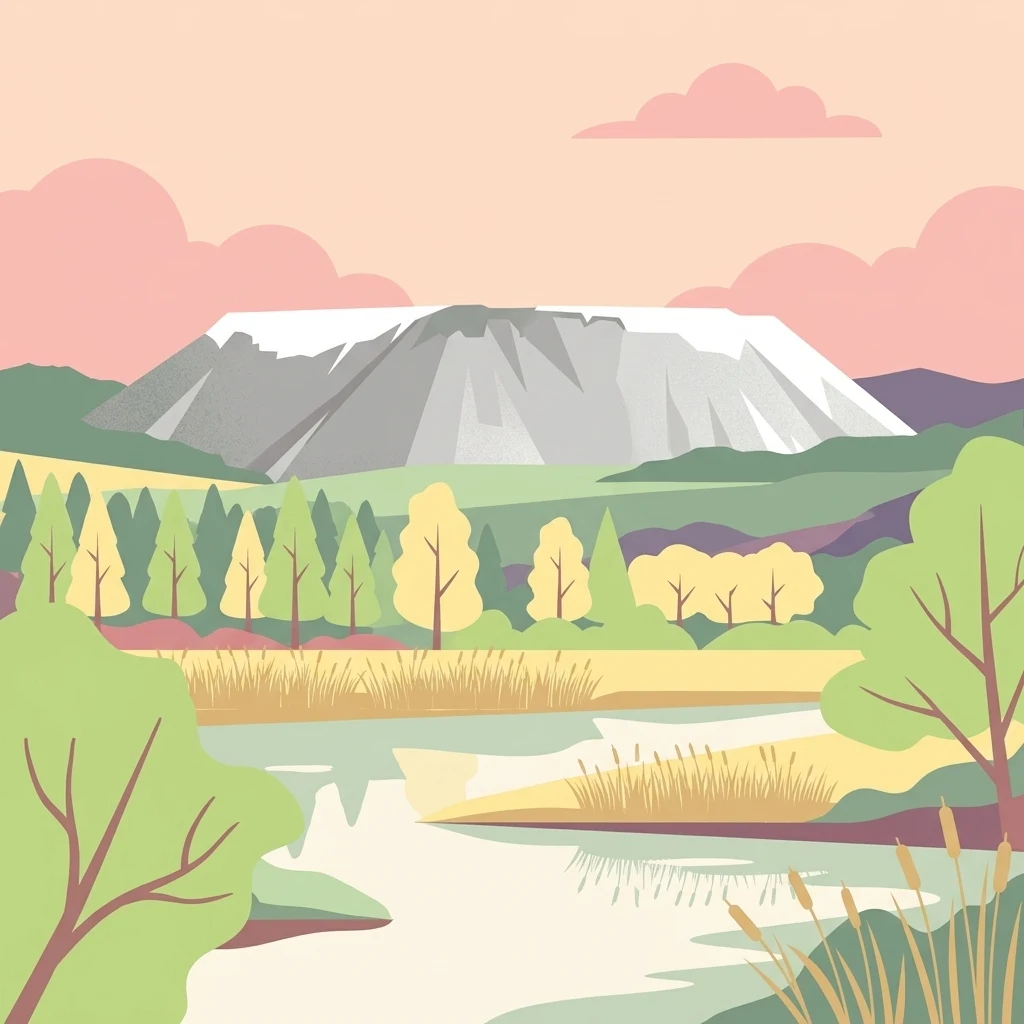
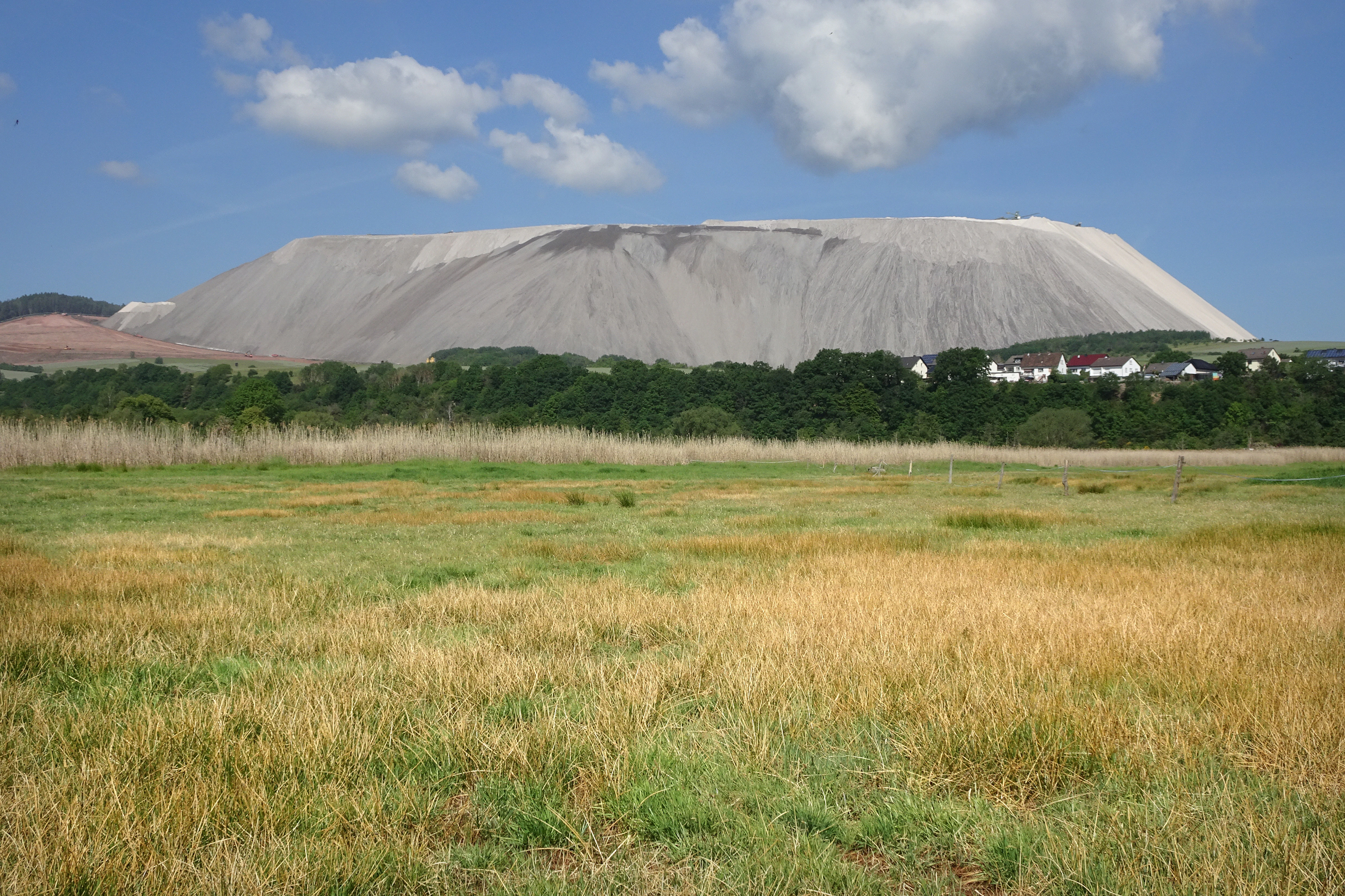
The landscape of the Rohrlache is that of a low-lying alluvial floodplain shaped by both natural hydrology and centuries of industrial influence. The Werra defines the western edge of the area, with a smaller detached section on the opposite bank. To the south of the river rises the Monte Kali, the conspicuous white spoil tip of Heringen's potash mine, which has become an unmistakable visual marker in views across the reserve. To the east, a major drainage ditch traces part of the boundary, while a county road between Widdershausen and Leimbach closes off the northern edge.
Within the reserve, the terrain is remarkably flat, with shallow saline pans, salt pans, and slightly elevated drier patches creating subtle but ecologically important variation in elevation and moisture. The 1953 earthquake lowered the southern part of the floodplain by roughly two meters, creating additional saline seepage points and altering the distribution of wet and dry microhabitats. The peat-free but humus-rich alluvial soils swell when wet and shrink and crack on drying, contributing to the open character of the most salt-influenced zones.
Beyond the protected area itself, the valley setting is framed by the surrounding uplands of the Osthessisches Bergland, including the Seulingswald to the west and the Frauenseer Hügelland to the east. Although these higher landscapes lie outside the reserve, they shape its microclimate through rain-shadow effects and steep local temperature contrasts, producing the relatively mild and dry conditions that underpin the reserve's character.
Rohrlache von Heringen ecosystems, habitats, and plant life
Ecologically, the Rohrlache is defined above all by its saline vegetation, an unusually sharp expression of inland salt ecology made possible by the combined effects of natural Zechstein geology and potash-mining discharges. The reserve's plant communities are arranged in a roughly concentric pattern around seepage points, with halophytes occupying the wettest, salt-richest centers and progressively less salt-tolerant species in the surrounding wet meadows.
Three plant-sociological units dominate the core area. The first and most widespread is a sea scale-grass and salt-grass community, augmented by sandspurry, whose tiny plants produce a red-violet carpet in July, and glasswort, a relative newcomer that colonized the bare saline pans from the 1990s onward and now forms dense low stands. The second is a set of salt-grass swards with flat-rush that shift gradually into moist grass communities dominated by tall fescue, white bent, and couch grass, occupying shallow waterlogged depressions. The third, occupying the northern part of the reserve, is a ring of grass-leaved orache, manna-grass, and sea aster that encircles a fully barren saline hollow.
These halophytic communities were considerably more extensive in earlier decades; many former salt meadows are now occupied by reed beds, brackish reed stands, and moist grasslands. Despite this retreat, the surviving saline vegetation remains highly significant in regional terms, and the site supports populations of meadow knapweed and associated invertebrates such as the dusky large blue butterfly, a European species protected under Annex II of the Habitats Directive. The aquatic and semi-aquatic habitats also harbor amphibian breeding populations and a rich invertebrate assemblage, including threatened grasshopper species such as the meadow grasshopper and short-winged conehead.
Rohrlache von Heringen wildlife and species highlights
The Rohrlache has long been recognized as one of the most important bird sites in Hesse, with surveys carried out for the 1997 standard data form and the 2002 baseline study confirming its supra-regional significance. The reserve supports breeding populations, feeding visitors, and migratory stopover use by a broad spectrum of waterbirds, waders, and raptors.
Among the most regularly recorded species of regional or national interest are bluethroat, red-backed shrike, marsh harrier, corncrake, white stork, red kite, black kite, wood sandpiper, and great egret, all of which are strictly protected in Germany. Within the wider EU bird protection area, of which the Rohrlache is a component, the Werra floodplain is recognized as Hesse's most important breeding area for common pochard, bittern, and river warbler, and as one of the state's five key areas for species such as corncrake, spotted crake, water rail, garganey, shoveler, gadwall, marsh harrier, white stork, little bittern, and grey heron.
The amphibian fauna is similarly notable, with six species recorded in the reserve. Common frog occurs in particularly large numbers, while tree frog and natterjack toad are recognized under the EU Habitats Directive as species of community interest. Grasshopper assemblages in the wet meadows include the meadow grasshopper and the short-winged conehead, both nationally threatened insects that benefit directly from the reserve's open, salt-influenced vegetation structure.
Rohrlache von Heringen conservation status and protection priorities
The Rohrlache is one of the most strongly protected small reserves in Hesse, layered under multiple designations that reflect both its rarity and its role within broader conservation networks. As a nature reserve, it has been shielded from damaging land-use change since 1979, with formal conservation aims centered on preserving its saline flora, its breeding and resting bird populations, and its amphibian habitats.
At the European level, the reserve is part of the Natura 2000 network, formally adopted under Hessian law in 2008 after the European Commission recognized it as an area with significant presence of the priority habitat type 1340, inland salt meadows. The site's standard data forms emphasize the importance of its halophytic vegetation and the Annex II species it supports, including tree frog, natterjack toad, and dusky large blue butterfly, all of which require monitoring and active management to maintain favorable conservation status.
Regionally, the reserve is embedded in a wider landscape protection area along the Werra, the Auenverbund Werra, which aims to maintain and restore near-natural river sections across roughly 4000 hectares of floodplain. Since 2023, the Rohrlache has also been fully integrated into Zone I of the Grünes Band Hessen national natural monument, a designation that recognizes its outstanding nature conservation value within the broader inner-German border landscape.
Rohrlache von Heringen cultural meaning and human context
The Rohrlache sits within a landscape long shaped by human use of the Werra's salt resources. The deep Zechstein deposits under the valley, formed more than 250 million years ago, have been mined for potash and rock salt since the early 1900s, anchoring the region's identity around the Heringen potash works and the conspicuous Monte Kali spoil tip. The saline character of the Rohrlache is itself a product of this industrial history, with brine disposal practices from the late nineteenth and twentieth centuries having reinforced and altered the natural salt seepage that once existed in the floodplain.
Beyond industry, the Werra valley carries a long tradition of agricultural use of its wet meadows. Even today, much of the reserve is bordered by farmland, and the open character of the saline vegetation is partly a legacy of grazing and hay-cutting practices that prevented shrub encroachment. The local communities of Widdershausen, Leimbach, and Heringen have historically maintained close ties to the floodplain, both as a working landscape and, increasingly, as a place of walking and quiet recreation along the Werratal-Radweg and the Nadelöhr-Wanderweg.
Top sights and standout views in Rohrlache von Heringen
The reserve's standout features include its status as the largest inland saline site in Hesse, its ecologically rare halophytic plant communities, and its nationally important breeding and migratory bird populations. The intersection of natural Zechstein geology and potash-mining history gives the site a distinctive identity that combines botanical, zoological, and industrial heritage.
Visitors to the area can also discover the broader Werra floodplain landscape, with walking and cycling routes along the river and views toward the Monte Kali spoil tip. The reserve's integration into the Grünes Band Hessen national natural monument ties it into an unusually ambitious vision of large-scale ecological connectivity along a former inner-German border.
Best time to visit Rohrlache von Heringen
The Rohrlache is most visually expressive in late spring and summer, when the saline meadows come into flower and a wide range of breeding birds, amphibians, and insects are simultaneously active. Migratory and wintering waterbirds can extend the seasonal interest well beyond the breeding period, especially in the broader Werra floodplain.
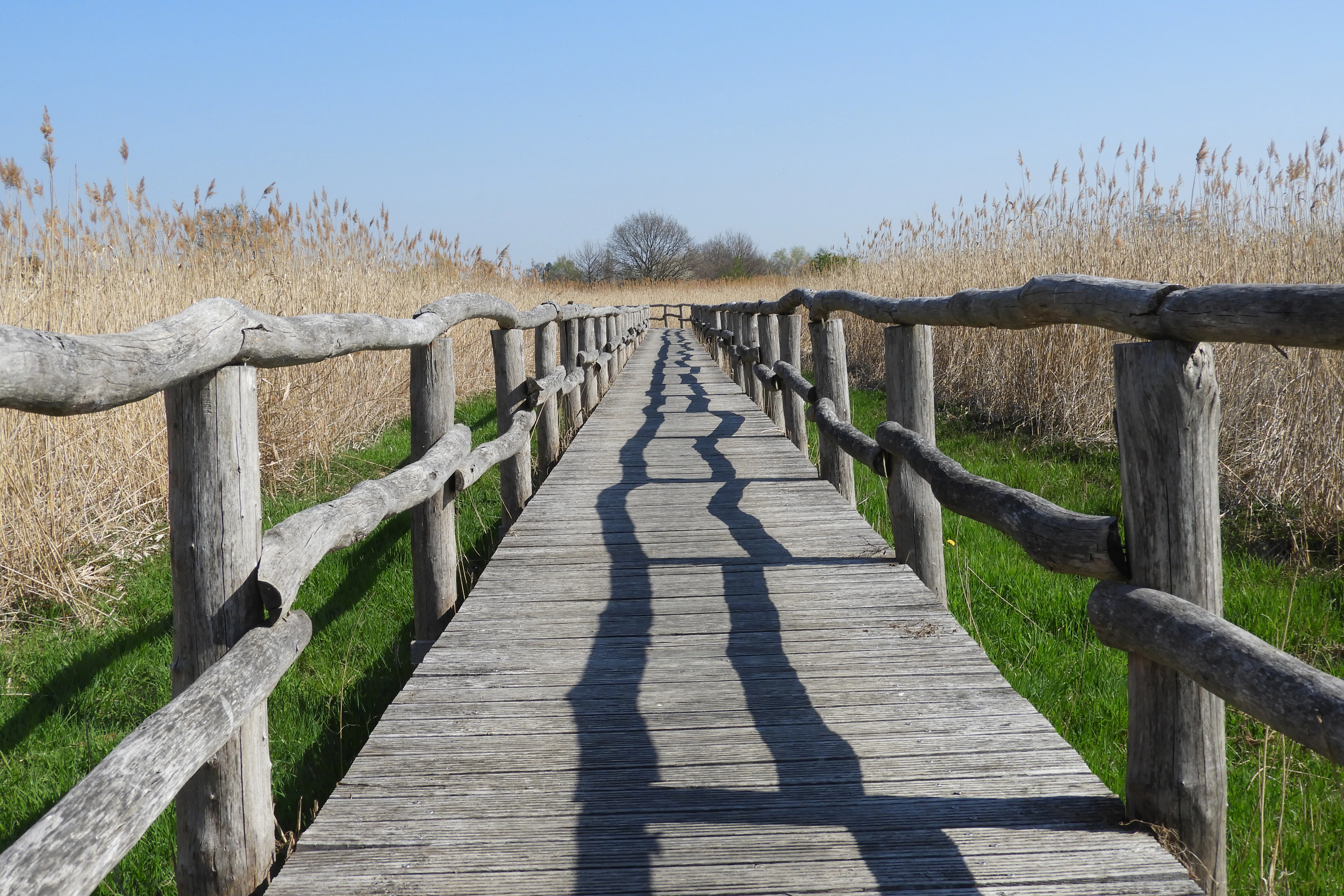
Because the reserve is centered on delicate saline soils and sensitive breeding habitats, the most rewarding visits are typically those that focus on the perimeter walking and cycling routes, including the Werratal-Radweg, rather than on walking through the core wetland itself.