
Mori Atlas logo
Park guides

Available planning resources for the diverse ecosystems of Canada's largest urban protected area.

Rouge National Urban Park Guide Collection: Seasonal Planning and Regional Landscape Overviews

Access essential planning information for Rouge National Urban Park, spanning its wetlands, river valleys, and forests across the Greater Toronto Area. These guides assist in understanding seasonal patterns for exploring the protected landscape from the Rouge River mouth to the Oak Ridges Moraine.

Related tags

urban parkwetlandsriver valleyprotected areaGreater Toronto Area

North America's largest urban protected area, spanning from Lake Ontario to the Oak Ridges Moraine

Rouge National Urban Park

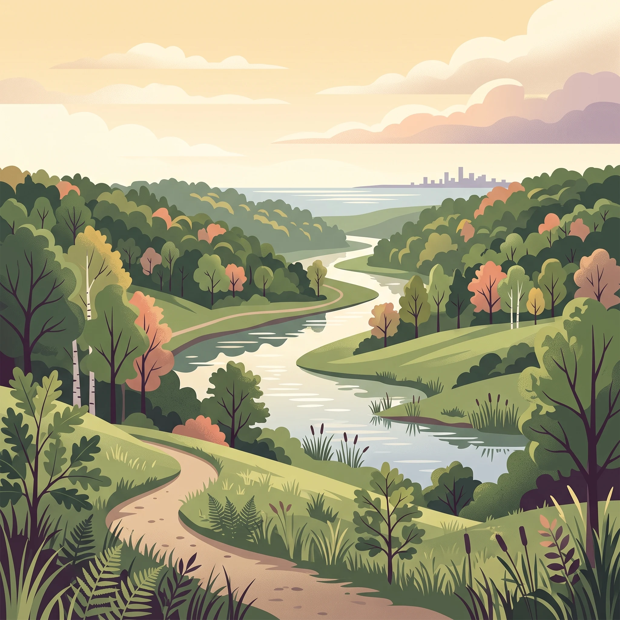
Rouge National Urban Park represents a pioneering approach to urban conservation, demonstrating how large-scale protected areas can coexist with dense metropolitan development. The park encompasses a remarkable diversity of ecosystems within its boundaries, from river marshes and wetlands at its southern extent near Lake Ontario to forested uplands and agricultural lands extending northward toward the Oak Ridges Moraine. This ecological gradient creates varied habitats supporting hundreds of species, many of which would be difficult to find in such proximity to a major city. The Rouge River, the park's central geographical feature, flows through a network of ravines that form part of the larger Toronto ravine system, providing critical wildlife corridors within the urban matrix. Parks Canada has undertaken ambitious plans to expand the trail network from the current 12 kilometres to create a contiguous pathway linking Lake Ontario to the Oak Ridges Moraine, enabling visitors to traverse the full ecological range of the park. The park also maintains active agricultural operations, preserving farmland that represents some of Canada's most fertile soil while offering visitors opportunities to experience working farms and seasonal markets.

Location
Canada
Park type
National park
Established
2015
Area
79.1 km²
Rouge National Urban Park Atlas
1 guide

Compare available reference materials and targeted seasonal planning themes

Published Reference Guides and Seasonal Planning Resources for Rouge National Urban Park

Published reference materials provide structured topic-led answers for visitors researching Rouge National Urban Park. Individual guides address seasonal planning questions covering trail accessibility, river activities, and regional foliage.
MoriAtlas Explorer

Continue Your Atlas Exploration of Rouge National Urban Park's Geography

Delve deeper into the mapped terrain and protected area context of Rouge National Urban Park. Understanding this national park's specific geographic features and its distribution within Ontario enriches your comprehension of Canada's conservation landscapes. Continue to explore the atlas for detailed insights into protected natural areas and regional geography.

Global natural geography