
Mori Atlas logo
Natural monumentRudenská luční prameniště

A diverse mosaic of spring fens, hay meadows, and peatlands in the Ore Mountains geography

Rudenská luční prameniště Natural Monument: Mapping the Protected Mountain Mire Landscapes

Rudenská luční prameniště represents a vital protected highland complex situated within the Ore Mountains of the Karlovy Vary Region. This natural monument encompasses a unique mountain wetland mosaic characterized by spring fens, transitional mires, and traditionally maintained hay meadows that contrast with surrounding spruce forests. The terrain serves as an essential ecological refuge for mountain mire vegetation and significant orchid populations, preserved within a broader system of European site designations that protect the hydrological integrity of the upper Ore Mountain slopes.

fenspring-fed meadowsmountain meadowsmirepeatlandNatura 2000
An illustration in a flat, minimalist style depicting a grassy meadow with a winding stream, a small cluster of trees in the middle distance, and a backdrop of evergreen forest and rolling hills under a soft sun.

Rudenská luční prameniště

Natural monument

Park overview

Structured park overview, official facts, and landscape profile for Rudenská luční prameniště

Rudenská luční prameniště park facts, protected area profile, and essential visitor context

Review the core facts for Rudenská luční prameniště, including designation, size, terrain, visitor scale, habitats, and operating context in one park-focused overview.

About Rudenská luční prameniště

Rudenská luční prameniště is a small but ecologically focused protected landscape in the Czech part of the Krušné hory, the western Bohemian stretch of the Ore Mountains. The nature monument was created in 2020 to safeguard a representative portion of the larger Rudné European site, which had already been declared fifteen years earlier on a much wider footprint. The protected area lies in the Rudné area of Vysoká Pec, on the northwestern outskirts of the village, and is organised into three separate meadow segments arranged along the valley slope.

The setting is classic upper-mountain Krušné hory terrain. The reserve climbs between roughly 756 and 820 metres above sea level, at the base of Chaloupecký vrch rising to 900 metres and Vysoký vrch at 883 metres. The entire area drains into the Rudný potok, eventually reaching the Rolava river through the village of Vysoká Pec. Because the European site extends beyond the monument's boundaries, no additional protective buffer zone was established; the smaller monument instead serves as a legally robust anchor for managing the most valuable open-ground portions of the larger designation.

The protection focus is explicitly habitat-based. Authorities identified the site's combination of wet meadows, calcareous-free moss fens (slatiniště), transitional peat mires, and acidic meadows connected to springheads as the core conservation subject. By keeping these fens open, grazed or mown, and free from encroaching conifer regeneration, managers aim to preserve both the hydrological regime and the communities of rare plants and animals tied to it.

Although modest in size at about 23 hectares, the reserve plays an outsize role in the regional Natura 2000 network for the Krušné hory. It complements the surrounding landscape protection of Přírodní park Jelení vrch and contributes to conservation of the broader highland wetland heritage that has been heavily altered by historical peat cutting, drainage and twentieth-century spruce planting.

Quick facts and research context for Rudenská luční prameniště

Rudenská luční prameniště is a přírodní památka (nature monument) in the Krušné hory of western Bohemia, declared in 2020 by the Karlovarský kraj authority. It lies within the cadastral area of Rudné, part of the village of Vysoká Pec in the Karlovy Vary district, and falls inside the larger Přírodní park Jelení vrch.

The site covers roughly 23.18 hectares split into three meadow segments. Its elevation lies between about 756 and 820 metres above sea level, on granite bedrock of the Krušnohorský pluton. It overlaps entirely with a European Important Site (evropsky významná lokalita) designated in 2005 and is classified as IUCN Category IV: a habitat or species management area.

Protection and recognition

Documented terrestrial protection history and official designation metrics

Rudenská luční prameniště Protection Status and Designated Area Facts

Rudenská luční prameniště features a documented terrestrial protection status established in 2020. Official records compile the designation history and management scope without international recognition sources.

Protection details

Protection scope
Terrestrial
Designated year
2020
Transboundary protection
No
Park context

Deeper park guide and search-rich context for Rudenská luční prameniště

Rudenská luční prameniště history, landscape, wildlife, and travel context

Explore Rudenská luční prameniště through its history, landscape character, ecosystems, wildlife, conservation priorities, cultural context, and seasonal travel timing in a structured park guide built for atlas discovery and search intent.

Why Rudenská luční prameniště stands out

Rudenská luční prameniště is best known for its spring-fed mountain fens and transition mires, set in a matrix of traditionally mown mountain meadows in the upper Ore Mountains. The site is notable for hosting exceptionally large populations of two native orchids, Dactylorhiza majalis and Dactylorhiza fuchsii, each forming stands of up to a thousand or more plants. The reserve is also recognised as a representative example of an open, unwooded springhead complex that has escaped the widespread spruce afforestation of the surrounding Krušné hory, making it an important refuge for mire and wet-meadow specialist plants.
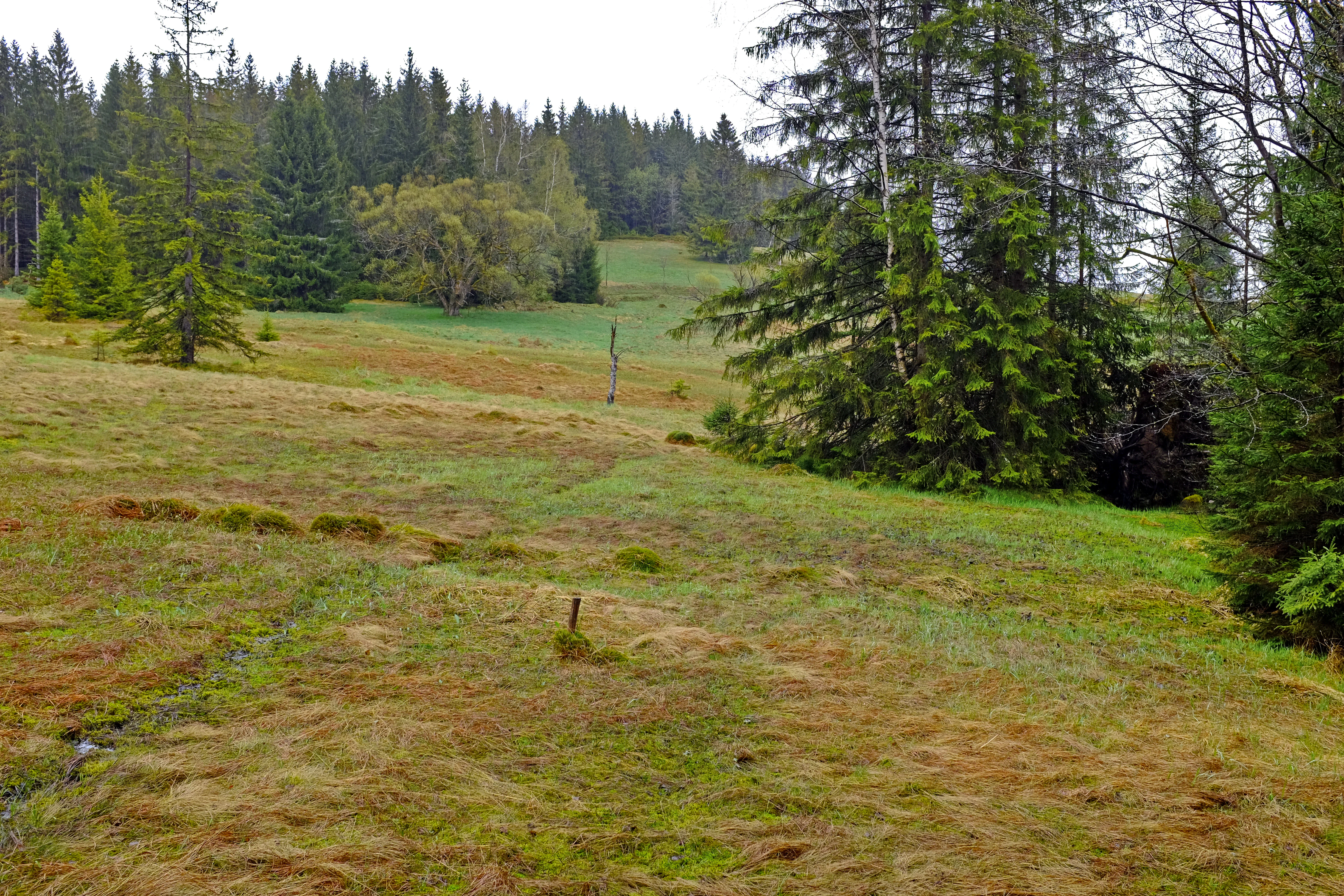
A green and brown grassy meadow in the foreground leading into a dense coniferous forest, typical of the Ore Mountains.
A view of the meadow landscape and surrounding coniferous forest at the Rudenská luční prameniště natural monument.

Rudenská luční prameniště history and protected-area timeline

The history of Rudenská luční prameniště as a formal protected area is recent but sits on a much older cultural and ecological baseline. Peat was cut on the site from the late nineteenth to early twentieth century, used locally as fuel and as insulation material for houses. A small peat-brick industry developed in the village of Rudné itself, where kneaded peat mixed with water was pressed into moulds and air-dried into building bricks.

These peat-working activities left a lasting imprint on the hydrology and vegetation of the valley. After the peat industry collapsed, the open springhead ground was gradually reclaimed by meadows, but the drainage channels and peat layers remained. Much of the surrounding Krušné hory was repeatedly converted to spruce forest, which reduced both the open habitat and the moisture supply to springs.

In response, the evropsky významná lokalita (European Important Site) Rudné was declared on 15 April 2005 across 443.6 hectares, anchoring the broader area under the European Natura 2000 framework. The smaller but more strictly protected přírodní památka Rudenská luční prameniště followed on 23 March 2020, declared by the Regional Authority of the Karlovy Vary Region. Its purpose has been to focus conservation action on the unwooded wet-meadow and mire segments that are most representative of the original site.

Rudenská luční prameniště landscape and geographic character

The terrain of Rudenská luční prameniště is shaped by the glacial and weathering history of the upper Ore Mountains. The reserve lies in the Přebuzská hornatina okrsek, a sub-unit of the Klínovecká hornatina within the broader Krušné hory geomorphological whole. From the valley floors around 756 metres the land steps upward through hay meadows and mire flats towards the sub-summit ridges of Chaloupecký and Vysoký vrch, both nearing 900 metres.

The whole protected area is underlain by granite of the Krušnohorský pluton, a hard crystalline basement that has produced acidic, nutrient-poor surface conditions. Over this bedrock, layers of fen sediments and peat have accumulated, partly cut into and partly re-vegetated since the late nineteenth century. Today the surface is a wet mosaic: hummocky spring fens interspersed with hollows, soft peat edges, transition mires, and drier hay-meadow edges where machinery can still mow.

Water movement is the defining feature of the landscape. Small streams and numerous old drainage channels thread through the segments, feeding the Rudný potok, which carries the combined discharge down to the Rolava at Vysoká Pec. The presence of active springs, lingering moisture, and patchy peat gives the area a soft, spongy ground surface and a visibly greener character than the surrounding spruce-covered mountain slopes.

Rudenská luční prameniště ecosystems, habitats, and plant life

Ecologically, Rudenská luční prameniště represents one of the more intact open wetland systems of the Czech Krušné hory. Its habitat mosaic combines four main components: moss-dominated, calcium-poor spring fens (slatiniště); gently sloping transitional peat mires between fen and raised bog; acidic mountain hay meadows; and narrow edges of birch and spruce woodland along the wetter boundaries.

This combination is unusually rich because the valley still supports permanent groundwater upwelling, which keeps the upper peat layer saturated even in dry years. The meadows are described as traditionally mown, so the flora reflects a long continuity of low-intensity management rather than recent abandonment.

The reserve also sits within the broader Přírodní park Jelení vrch, a regional landscape protection zone that buffers the strict monument with surrounding habitat. Together, the fens, meadows and edge woodlands create a transitional ecotone where open mire flora meets montane meadow and conifer fringe communities, a pattern that has become rare in modern Krušné hory landscapes.

Rudenská luční prameniště wildlife and species highlights

Because the protected area is small and habitat-dominated, its fauna is best understood in connection with the broader Rudné European site. The wet meadows, fens and peat edges support a community typical of central European mountain wetlands. Common amphibians include the common toad (Bufo bufo), while reptiles are represented by the viviparous lizard (Zootoca vivipara) and the slow worm (Anguis fragilis), both species adapted to cool, moist upland conditions.

Among birds, the meadow-mire complex provides suitable nesting habitat for the common snipe (Gallinago gallinago), which breeds here in limited numbers. This species is strongly tied to spring-fed wet meadows with soft, moss-rich ground, and is often used as an indicator for this habitat type across the Ore Mountains.

Invertebrate communities of the spring fens and meadows are likely to include specialists of montane mires, although the site is too small to host large mammals beyond forest-edge visitors. The conservation value of the area is therefore primarily botanical, with wildlife significance derived from intact hydrology-supported habitat rather than charismatic megafauna.

Rudenská luční prameniště conservation status and protection priorities

Conservation at Rudenská luční prameniště is structured around habitat protection under Czech and European law. The site is classified at IUCN Category IV, a habitat or species management area, because its primary goal is to maintain specific natural habitats rather than to protect a larger ecosystem in a near-natural state. The reserve's objectives are direct: preserve the existing wet meadow and mire habitats, keep them open and in good conservation condition, and improve the long-term viability of the protected habitat types.

The designation overlaps entirely with the evropsky významná lokalita Rudné (declared in 2005), placing the meadow segments inside the European Natura 2000 network and tying local management to European habitat directive targets for mires, fens and species-rich mountain meadows. Because the larger European site already extends beyond the monument boundaries, no additional buffer zone was needed for the 2020 nature monument designation.

Management priorities implied by the source material include maintaining the existing spring-fed hydrology, preventing further peat drying or drainage intensification, controlling conifer encroachment, and continuing gentle mowing of the meadows to preserve the open habitat character and the rare plant species it supports.

Rudenská luční prameniště cultural meaning and human context

Although the protected area is small, it carries a distinctive local cultural layer connected to historical peat use. In the late nineteenth and early twentieth century, the surrounding fens and mires were worked for peat, both as domestic fuel and as a construction material. In the village of Rudné itself, peat bricks were manufactured by kneading peat with water, pressing the mixture into moulds, and air-drying the formed blocks before use.

This peat-working heritage left lasting marks on both the hydrology and the layout of the present-day meadows. Many of the field patterns, ditches and exposed peat edges visible today follow the logic of historical peat extraction and its subsequent abandonment. In this sense, the reserve is not only an ecological sanctuary but also a record of an older upland rural economy that shaped the Krušné hory for generations.

Top sights and standout views in Rudenská luční prameniště

The reserve's most prominent highlight is its unbroken chain of spring fens, transitional mires and hay meadows strung along the slope below the Ore Mountain summits. Among its botanical highlights are substantial populations of two Dactylorhiza orchids, the May and Fuchs' marsh orchids, with stands described as reaching about a thousand plants each, alongside sundews (Drosera rotundifolia), bog cranberry (Oxycoccus palustris) and mountain arnica (Arnica montana).

Equally notable is the area's hydrological integrity: the springs still feed into a functioning peat and meadow system, an increasingly uncommon condition in the heavily spruce-forested Krušné hory. The combination of formal nature monument status, full overlap with the 2005 European Important Site, and location within Přírodní park Jelení vrch gives this small site a layered protection profile that is rare for its size.

Best time to visit Rudenská luční prameniště

The meadows and fens of Rudenská luční prameniště are most expressive in late spring and early summer, when the May and Fuchs' marsh orchids come into flower alongside bog cranberry and the broader hay-meadow flora. Late May to mid-June tends to bring the richest display of flowering plants, including arnica, rattles and yellow oat-grass, against a still-green meadow ground.

In high summer the meadows are typically cut, shifting the scene from flowering meadow to freshly mown field. Late summer and early autumn are useful for appreciating the moss and peat communities as the surrounding spruce forests darken, while winter brings snow cover that emphasises the open, valley-floor shape of the reserve. Because the reserve is high-elevation, foggy, cool and damp conditions are common, and visitors should expect typical upland weather rather than lowland sunshine.


Monthly climate preview

Long-term temperature ranges and precipitation rhythm for the Karlovy Vary Region protected area

Rudenská luční prameniště Climate Normals and Monthly Weather Patterns

Representative coordinate measurements record monthly mean temperatures ranging from minus two degrees Celsius to seventeen degrees Celsius alongside varying daily precipitation volumes throughout the year. Examining the full twelve-month profile provides complete historical averages for detailed temperature and precipitation analysis across this protected landscape.
Annual mean7 °C
-3 °C17 °C
Jan-3°
Feb-2°
Mar
Apr
May12°
Jun15°
Jul17°
Aug17°
Sep13°
Oct
Nov
Dec-1°
Warmest month
July

17.5 °C

Coolest month
January

-2.5 °C

Wettest month
July

2.8 mm/day

Driest month
April

1.4 mm/day

Park location guide

Geography guide, regional context, and park location map for Rudenská luční prameniště

Rudenská luční prameniště park geography, regions, and map view in Czechia

Understand where Rudenská luční prameniště sits in Czechia through a broader geographic reading of the surrounding landscape, nearby location context, and its mapped position within the national park landscape.

How Rudenská luční prameniště fits into Czechia

Czech Republic is a landlocked Central European country with a population of approximately 10.9 million people. The nation was established as an independent state on January 1, 1993, following the dissolution of Czechoslovakia. Its capital and largest city is Prague, with other major urban centers including Brno, Ostrava, Plzeň, and Liberec.

Wider geography shaping Rudenská luční prameniště in Czechia

The Czech Republic is a landlocked country in Central Europe. It is bordered by Germany to the west, Austria to the south, Poland to the northeast, and Slovakia to the southeast. The landscape is predominantly hilly, with the territory covering 78,871 square kilometers.

Map view of Rudenská luční prameniště

Use this park location map to pinpoint Rudenská luční prameniště in Czechia, understand its exact geographic position, and read its mapped placement within the surrounding landscape more clearly.

Pigeon | © OpenStreetMap contributors

Location context for Rudenská luční prameniště

Karlovy Vary Region

Visual exploration of Ore Mountain fens, spring meadows, and protected wetland habitats

Rudenská luční prameniště Photos and Landscape Scenery

Visual documentation of Rudenská luční prameniště reveals the distinctive terrain of its spring fens, transition mires, and mountain hay meadows across the Ore Mountain slopes. Examining these protected landscapes helps observers understand the rare wetland habitats and hydrological character preserved within the reserve.

A green and brown grassy meadow in the foreground leading into a dense coniferous forest, typical of the Ore Mountains.

Park atlas

Compare adjacent wetland reserves and mountain landscapes across the regional highlands

Parks Near Rudenská Luční Prameniště and Surrounding Ore Mountain Protected Areas

Browsing parks near Rudenská luční prameniště reveals similar spring fens, peat mires, and protected mountain meadows throughout the Krušné hory region. Examining these connected protected areas provides deeper geographic context for the unique wetland habitats found across the upper Ore Mountain terrain.
Natural monumentKarlovarský kraj
About 8.1 km away#1 closest

Northeast

Vlčí jámy Natural Monument: Protected Geological and Industrial Heritage in Bohemia

Ore Mountains mining collapse and relict microclimate landscape

Vlčí jámy protects a rare intersection of medieval mining history and environmental significance in the Karlovarský kraj. The site is defined by two deep collapse features, Ledová jáma and Vlčí jáma, which function as persistent cold traps. These geological anomalies support critically endangered mosses and bat colonies, illustrating how abandoned industrial landscapes in the Ore Mountains evolve into essential, small-scale protected habitats.

Area
0.014 km²
Established
1975
IUCN
III
Relief
Mountain
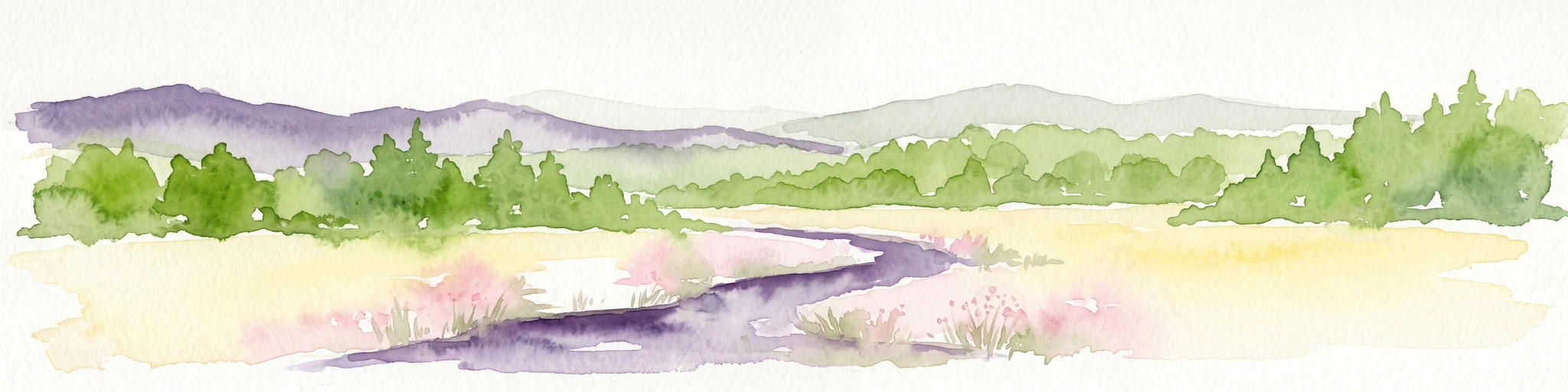
Watercolor painting of a flat marshy landscape with a small winding stream in the foreground, green trees in the midground, and soft purple mountain silhouettes in the distance.
Nature reserveSaxony
About 8.7 km away#2 closest

Northwest

Großer Kranichsee Nature Reserve: Protected Raised Bog Geography and Ore Mountain Landscapes

Watershed moorland, mountain pine forests, and Saxony high plateau geography.

Großer Kranichsee serves as a primary example of an intact raised bog system in the Ore Mountains. The reserve features rare peat-forming vegetation and highland bog forests, occupying a high-altitude plateau that bridges the border between Saxony and the Czech Republic. Its geographic significance stems from its role as a triple watershed, defining the drainage patterns for three distinct regional river systems within the protected Erzgebirgskamm zone.

Area
6.11 km²
Established
1912
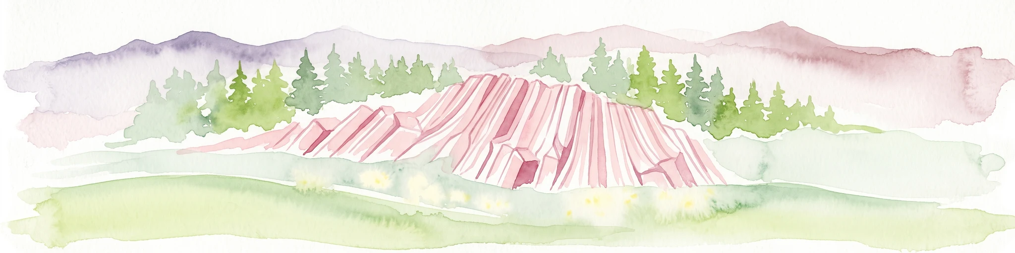
Watercolor painting of columnar basalt formations surrounded by a pine forest and soft, layered hills in the background.
Natural monumentKarlovarský kraj
About 9.9 km away#3 closest

Southwest

Rotava Natural Monument: Geological Landforms and Basalt Outcrops in the Karlovarský kraj Region

Protected volcanic terrain and rare botanical habitats in the Czech Republic

Rotava Natural Monument showcases remarkable vertical basalt columns formed by ancient volcanic activity. Located in the Karlovarský kraj region, this site provides a dense, concentrated look at columnar jointing and the specific meadow flora that thrives in its mineral-rich, acidic soil conditions, serving as a landmark for regional geological study.

Area
0.003 km²
Established
1978
IUCN
IV
Relief
Mountain
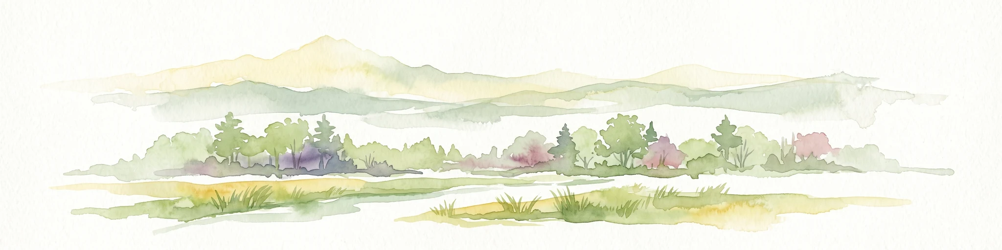
A horizontal watercolor painting showing rolling green hills and distant mountain ridgelines behind a foreground of grassy meadows and trees.
Nature reserveSaxony
About 12 km away#4 closest

Northwest

Dreibächel Nature Reserve: Mapping the Old-Growth Spruce Stands of the Western Ore Mountains

A historic protected landscape and mountain watershed in Saxony, Germany

Dreibächel serves as a living archive of traditional forest management, holding the distinction of containing the oldest spruce trees in Saxony. Located on the slopes of the Schneehübel, the reserve is characterized by a dense, multi-layered mountain forest canopy and the confluence of three vital streams. The area remains a essential site for observing historical plenterwald ecology and the natural hydrology of the Westerzgebirge region.

Area
0.147 km²
Established
1961
IUCN
IV
Nature reserveSachsen
About 13 km away#5 closest

North

Friedrichsheider Hochmoor Nature Reserve: Geography and Protected Bog Landscape in Sachsen

High-elevation peatland and bog pine forest mapping

Situated at 800 meters above sea level near Sosa, Friedrichsheider Hochmoor serves as a cornerstone of peatland conservation in the Erzgebirge. This reserve is defined by its thick peat body and dense Spirken moor forest, offering a rare look at near-intact mire ecosystems that support diverse Sphagnum mosses and subarctic plant communities within a protected regional framework.

Area
0.19 km²
Established
1967
IUCN
IV
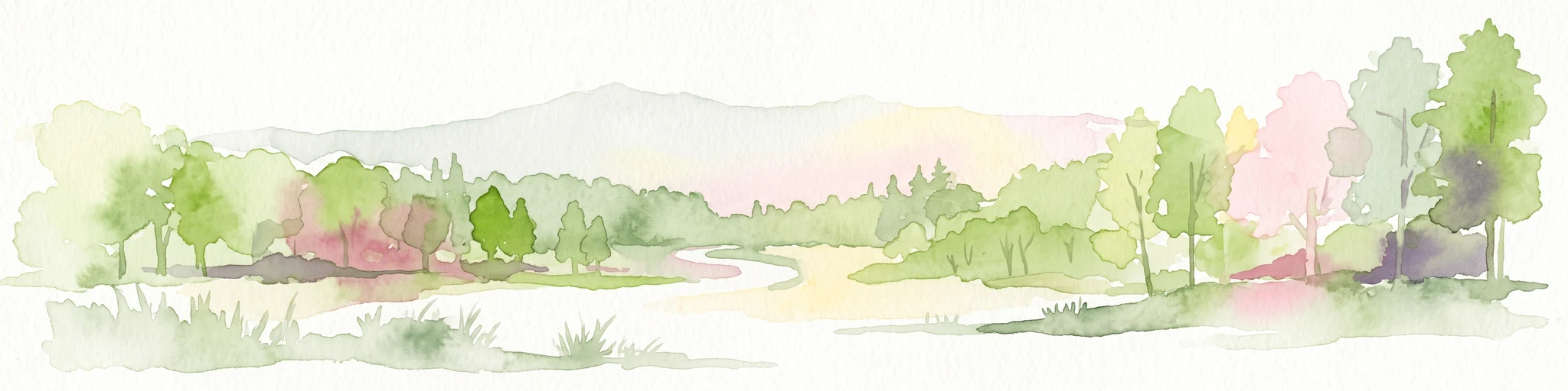
A horizontal watercolor illustration of a gentle landscape with scattered trees, soft green foliage, and faint mountain outlines in the background.
Nature reserveSaxony
About 15 km away#6 closest

Northwest

Am Riedert Nature Reserve: Protected Mountain Forest Geography in Saxony, Germany

Analyzing the ecological boundaries and Hercynian mountain mixed forest terrain

Am Riedert is a compact but ecologically important nature reserve situated on the rugged slopes of the western Erzgebirge. This site protects a significant example of mountain mixed forest, characterized by its mature silver fir populations and active natural regeneration. By examining its location south of the Zwickauer Mulde river, visitors can trace the intersection of Saxon history and conservation within this unique protected landscape.

Area
0.185 km²
Established
1961
IUCN
IV
Relief
Mountain
Nature reserveSachsen
About 20 km away#7 closest

East

Fichtelberg Nature Reserve: Mapped Protected Landscapes and Geography of the Saxon Erzgebirge

High-altitude mountain meadows, subalpine mires, and rare periglacial landforms.

Fichtelberg Nature Reserve protects a mosaic of high-altitude habitats across the Erzgebirge mountain range. This area features rare Nardus grasslands, spruce forests, and waterlogged mire systems. The landscape is defined by its complex ice-age legacy, containing notable frost-patterned ground structures that provide an essential window into the natural history of Saxony.

Area
2.09 km²
Established
2008
IUCN
IV
Nature reserveSachsen
About 20 km away#8 closest

North

Conradswiese Nature Reserve: Geographic Overview of the Saxon Ore Mountains Forest Meadow

Protected mountain meadow and mixed forest terrain in Sachsen.

Conradswiese encompasses a distinct Waldwiese clearing embedded within the Bergmischwald of the western Ore Mountains. Located near the Morgenleithe, this nature reserve is positioned along a watershed boundary between two river systems, making it a point of geographic interest for those exploring the natural heritage and silvicultural history of Germany.

Area
38.97 km²
IUCN
IV

Common questions about visiting, size, designation, and location context for Rudenská luční prameniště

Rudenská luční prameniště FAQs for park facts, access, geography, and protected area context

Find quick answers about Rudenská luční prameniště, including protected-area facts, park geography, trail and visitor context, and how the park fits into its surrounding country and regional landscape.
MoriAtlas Explorer

Continue Your Protected Areas Search Across the Global Atlas

Deepen your exploration by continuing the structured search for national parks and protected areas worldwide. Utilize the comprehensive filtering capabilities to compare different conservation landscapes and refine your understanding of global park geography. Discover more about the distribution and characteristics of protected natural areas.

Global natural geography