
Explore geographic data for mountain massifs, glacial valleys, and fluvial systems
Comprehensive Index of Named Natural Features Within and Surrounding Sarek National Park
This collection serves as a focused index for named natural features associated with the Sarek National Park landscape. Explore the spatial distribution and geographic context of high-altitude massifs, glacier-fed valleys, and river systems that define this Swedish Lapland wilderness. The records provide details on features intersecting or situated within the park boundary to support terrain-focused analysis and regional landscape mapping.
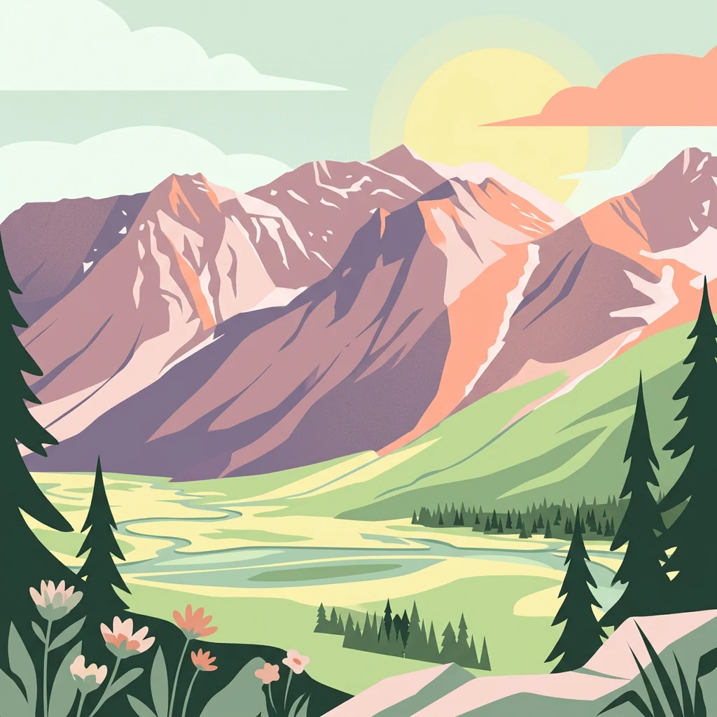
A geographic index of summits, valleys, and glaciers across Sweden's highest wilderness
Exploring the Named Natural Features and Alpine Landforms of Sarek National Park
Topographic summit data and alpine massif distribution
Peaks
Discover the high elevation summits and named peaks that characterize the rugged alpine environment of Sarek National Park. This collection highlights the diverse mountain massifs and physical features that define the vertical geography of this glacier-rich Swedish wilderness.
Geographic overview of standing water features
Lakes
Examine the distribution of lakes throughout the mountain massifs and deep valleys of Sarek National Park. These inland water bodies, varying in size and elevation, contribute to the diverse natural terrain of this protected Swedish wilderness area and provide critical context for regional hydrological studies.
Detailed geography of riverine features in northern Sweden.
Rivers
A structured repository of rivers mapped within the dramatic alpine landscape of Sarek National Park. This collection highlights distinct watercourses that originate from glacial sources, tracing their paths through deep valleys and expansive northern wilderness environments.
Continue Exploring the Mapped Geography of Sarek National Park's Alpine Wilderness
Delve deeper into the structured geographic data of Sarek National Park, understanding its relation to the surrounding Norrbotten County and its unique alpine landscape features. MoriAtlas provides detailed map context for this significant protected area, allowing for a richer appreciation of its rugged terrain and remote wilderness. Continue your atlas exploration of Sweden's natural heritage by examining the park's mapped boundaries and its distinctive geographic setting.