
Mori Atlas logo
Nature reserveSäulingssee

Understanding the mapped boundaries and wetland ecosystems of this unique protected basin terrain

Säulingssee Nature Reserve: A Detailed Geographic Atlas of the Former Lake Basin Landscape in Hessen

(Naturschutzgebiet Säulingssee bei Kleinensee)

Säulingssee functions as a specialized nature reserve in the Landkreis Hersfeld-Rotenburg of northeastern Hessen. Once a shallow lake, this site now presents a complex basin landscape shaped by subrosion, where fluctuating pools, wet meadows, and tall herb communities provide a vital refuge for endangered flora and wetland birds. Its protected status and inclusion within the Grünes Band Hessen ecological corridor define its regional importance as a study area for specialized amphibian and aquatic plant life.

wetland reserveformer lake basinnature reserveNatura 2000FFH sitesubrosion basin
A flat, vector-style illustration of a peaceful landscape with birch trees, tall grasses, a pond, and rolling hills in the background under a soft sunrise or sunset sky.

Säulingssee

Nature reserve

Park overview

Structured park overview, official facts, and landscape profile for Säulingssee Nature Reserve

Säulingssee Nature Reserve park facts, protected area profile, and essential visitor context

Review the core facts for Säulingssee Nature Reserve, including designation, size, terrain, visitor scale, habitats, and operating context in one park-focused overview.

About Säulingssee Nature Reserve

Säulingssee could easily be overlooked on a map: only about 21 hectares, tucked against the Hessen-Thuringia border west of Kleinensee, and surrounded by agricultural land. Yet this small basin has accumulated an unusual concentration of natural value over several decades. Its identity is rooted in geological history. The basin lies in a subrosion sink created by the dissolution of Zechstein salts deep underground, layered through Lower and Middle Bunter Sandstone. A shallow lake once filled the depression, but centuries of drainage gradually turned it into damp meadows and scattered pools.

Modern conservation at Säulingssee began in earnest in 1984, when the area was formally declared a Naturschutzgebiet to protect its tall herb communities, wet meadows, ditches, and the rich amphibian and bird life they supported. A second layer of protection followed in 2008, when the same area was legally secured as a European FFH site, recognising in particular the habitat type of natural eutrophic lakes with their characteristic pondweed and water plant vegetation, and the presence of yellow-bellied toad and northern crested newt.

In 2023, with the creation of the National Nature Monument Grünes Band Hessen, Säulingssee gained yet another layer of recognition. It lies within Zone I of this monument, an area of outstanding nature conservation value that connects protected habitats along the former inner-German border. Today the reserve functions both as a self-contained wetland refuge and as a stepping stone in a much larger network of Werra valley and border-strip nature reserves.

Quick facts and research context for Säulingssee Nature Reserve

Säulingssee is a roughly 21 hectare nature reserve in the Hesse district of Hersfeld-Rotenburg, sitting at the border with Thuringia. It lies in a subrosion basin at about 230 metres elevation and is registered as a Naturschutzgebiet since March 1984 and as a European FFH site since 2008, both with the same boundaries. The site is part of the Natura 2000 network under site code 5025-302 and has been incorporated into the National Nature Monument Grünes Band Hessen. Together with neighbouring wetland reserves along the Werra and inner German border, it acts as a stepping stone in a connected protection landscape.

Protection and recognition

Terrestrial designation records and formal protection framework for Säulingssee

Säulingssee Protection Status and Documented Conservation History

Terrestrial protection records for Säulingssee outline the formal designation history established in 2002. Structured conservation tracking compiles management scope and official recognition sources for reliable geographic analysis.

Protection details

Protection scope
Terrestrial
Designated year
2002
Transboundary protection
No
WDPA ID
165337
Park context

Deeper park guide and search-rich context for Säulingssee Nature Reserve

Säulingssee Nature Reserve history, landscape, wildlife, and travel context

Explore Säulingssee Nature Reserve through its history, landscape character, ecosystems, wildlife, conservation priorities, cultural context, and seasonal travel timing in a structured park guide built for atlas discovery and search intent.

Why Säulingssee Nature Reserve stands out

Säulingssee is best known as a surprisingly rich wet habitat complex built on the former bed of a lost lake. Its eutrophic shallow pools shelter highly endangered aquatic plant species of national importance, including pillwort and water feather, and provide breeding and stopover habitat for uncommon wetland birds such as bluethroat, snipe, and water rail. The site is also notable for the long-running conservation grazing by water buffalo, which helps keep the wetland open and diverse.
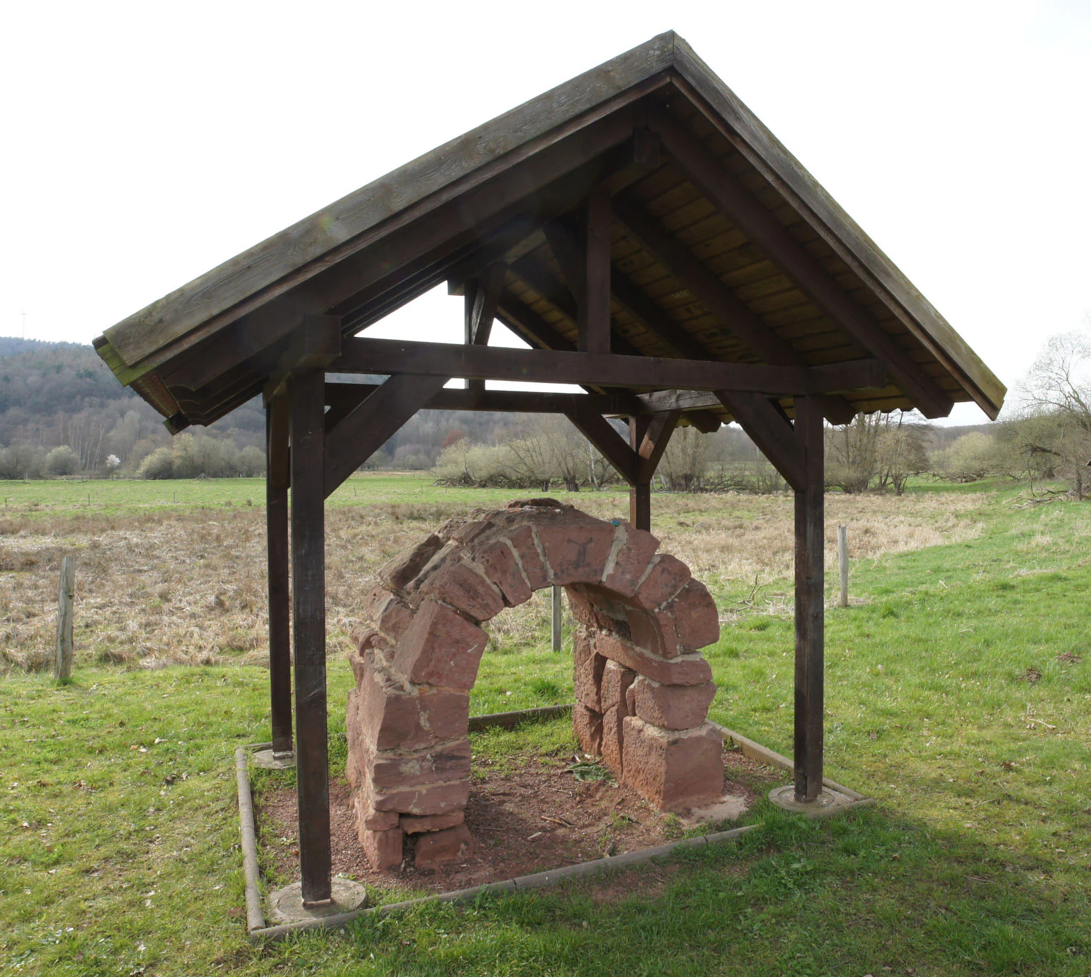
A small, open-sided wooden pavilion protecting a reconstructed sandstone arch structure located in a grassy field.
A reconstructed historical canal arch made of sandstone, located at the nature reserve entrance.

Säulingssee Nature Reserve history and protected-area timeline

The lake that once filled the Säulingssee basin was first documented around 1155 in the Codex Eberhardi, a record of the possessions of the Imperial Abbey of Fulda, where it was listed as a "fish estate." In the early 15th century, the lake and nearby settlements, including Kleinensee, passed into the administration of the Hessian landgraves, and the modern state border gradually took shape.

For centuries the lake supported local fishing. Carp and pike were reportedly abundant, and the fish became especially important when the fortified hunting lodge of Friedewald was converted after 1476, drawing the landgrave and his guests to the area, particularly during Lent when fish was a staple food. The lake's economic importance faded after the Friedewald castle was destroyed in 1762 during the Seven Years' War and after the Reformation reduced the ritual significance of fish in local diets.

Drainage of the lake began around 1760 to convert the fertile basin floor into farmland. The Suhlbach, which had originally fed the lake, was redirected past the basin. Drainage intensified in the 1930s with a large ditch and a dense tile drainage network, allowing full agricultural use of the area. After agricultural use declined between about 1960 and 1970, drainage stopped being maintained and the basin grew wetter again. The formal protection of the site in March 1984, its designation as a European FFH site in 2008, and its inclusion in the National Nature Monument Grünes Band Hessen in 2023 mark the modern phase of the area's history.

Säulingssee Nature Reserve landscape and geographic character

The reserve sits in a basin-shaped subrosion sink at roughly 230 metres elevation, just outside the floodplain of the Werra river. Soils in this former lakebed are made up of loamy and sandy sediments, with muddy lake deposits in the deeper southwestern portion and peaty, semi-boggy soils in the northwest where seepage water emerges.

The surface of the reserve is a patchwork of small-scale features. Wet meadows alternate with abandoned grassland, tall herb communities, clumps of trees and shrubs, still-water ponds, and ditches. Several of the ponds are over a metre deep in places, with shallow banks. Water levels fluctuate strongly through the year, and some of the water bodies dry out in summer. The whole area is bordered by a surrounding ditch and by land that is no longer used for farming, giving the reserve a distinct buffer of open, unmanaged ground.
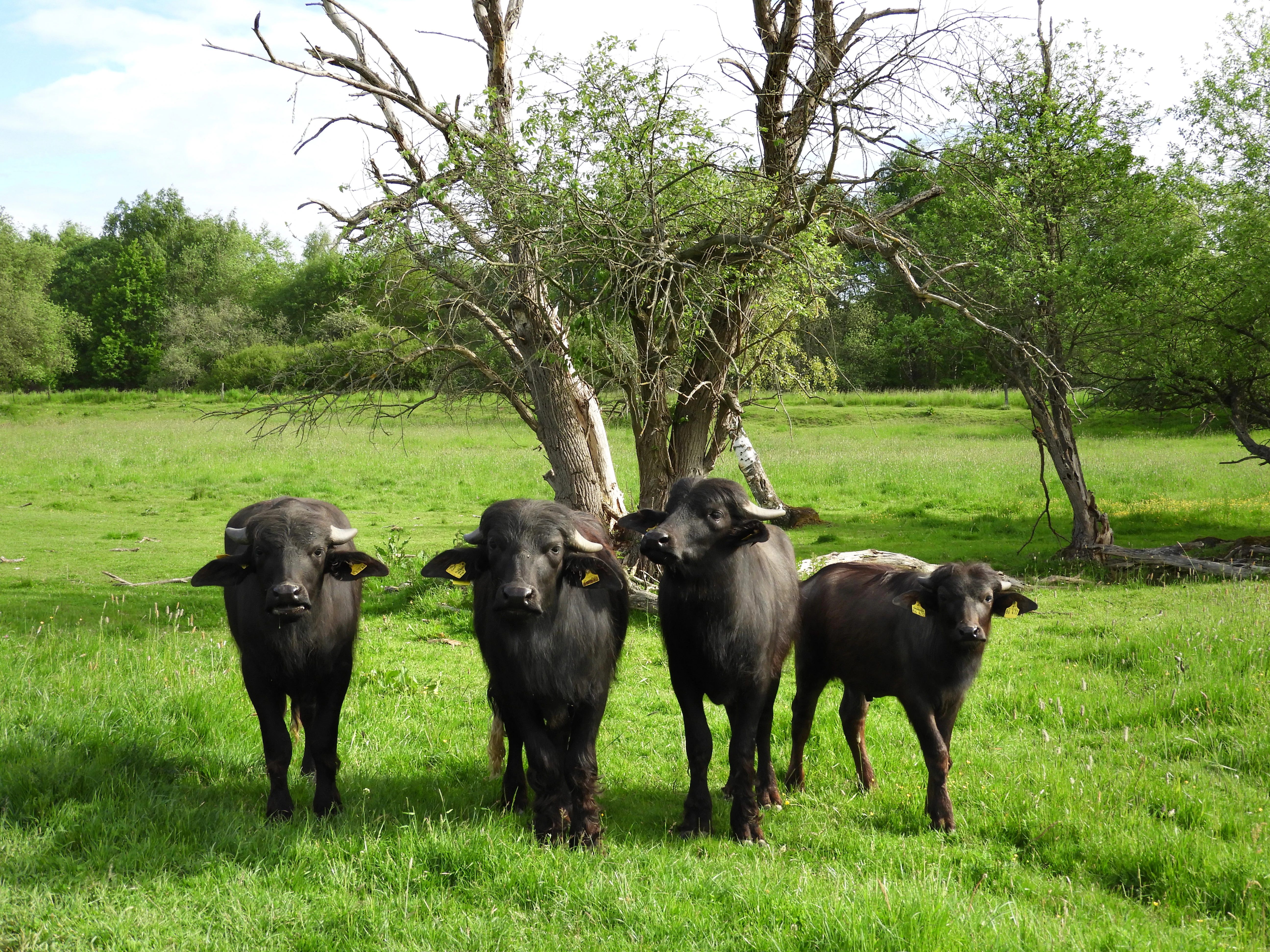
A group of four dark-colored water buffalo standing in a bright green grassy meadow in front of a bare tree, each wearing yellow ear tags.
Water buffalo grazing in the wetland meadows of Säulingssee, utilized for habitat conservation.

Säulingssee Nature Reserve ecosystems, habitats, and plant life

Ecologically, Säulingssee is defined by its wetness and its mix of open and lightly wooded habitats. The eutrophic shallow ponds are the heart of the reserve. They harbour highly endangered aquatic plants of national importance, including pillwort and water feather in a silting-up pond, alongside water mosses and shield-leaved water buttercup. Extensive pondweed belts have developed in several of the water bodies.

Around the ponds, a varied mosaic of reedbeds, tall herb vegetation, wet meadows, scrub, and small tree groups creates a richly layered habitat structure. The basin's cool, moist microclimate, with longer frost periods and a shortened growing season of about 250 days, supports plants and animals that would not otherwise thrive in this part of eastern Hesse.
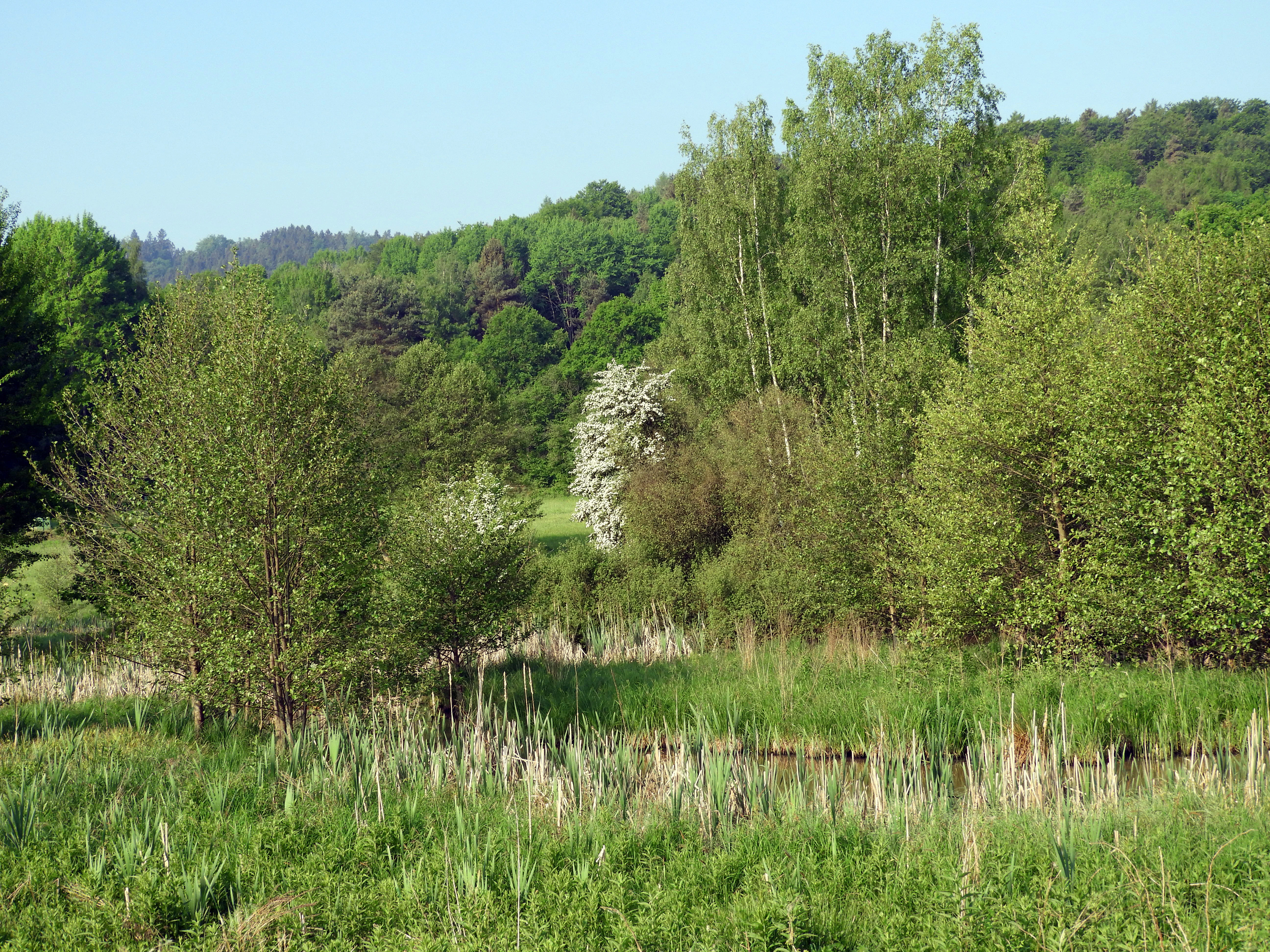
A view of the Säulingssee nature reserve with a small body of water surrounded by tall grasses, reed beds, and a forest in the background.
The wetland environment of Säulingssee, featuring reed beds and lush greenery near Kleinensee.

Säulingssee Nature Reserve wildlife and species highlights

The wetland mosaic at Säulingssee supports an unusually broad range of fauna for such a small site. The shallow ponds are important breeding habitat for several amphibian species, including common toad, European tree frog, water frogs, pool frog, smooth newt, palmate newt, and northern crested newt, all of which use the pools for spawning and early development.

In the clearer, plant-rich pools, a population of the endangered Moderlieschen, a small fish, has been documented. This species forms the food base for two Red List bird species that use the area: little grebe and kingfisher. NABU Heringen's bird surveys between 2008 and 2013 recorded a remarkable suite of breeding and migrating birds at the reserve. Confirmed breeding species of conservation concern include common snipe, bluethroat, whinchat, grasshopper warbler, Eurasian teal, tufted duck, red-backed shrike, reed bunting, Savi's warbler, marsh warbler, and water rail. Migrants and resting visitors have included wood sandpiper, greylag goose, garganey, red and black kites, great egret, common pochard, green sandpiper, and white stork.

Since 2006, water buffalo have grazed the northeastern part of the reserve. Their trampling, browsing, and wallowing maintain open conditions and create additional small biotopes.
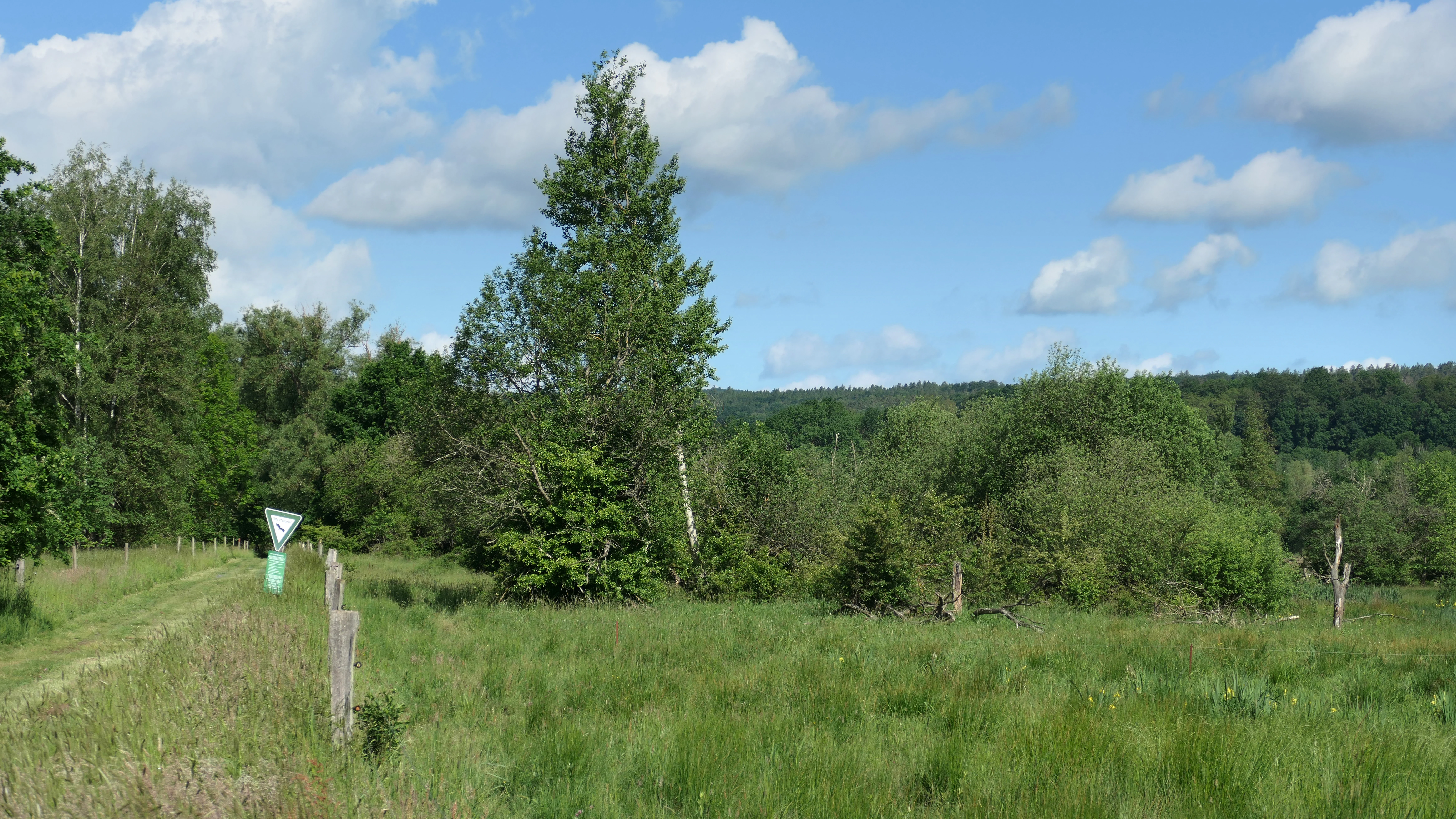
A green grassy meadow leading into a forested area with a small signpost visible on the left side under a cloudy sky.
A view of the wetland landscape at the Säulingssee nature reserve in Hesse, Germany.

Säulingssee Nature Reserve conservation status and protection priorities

Säulingssee carries several overlapping layers of protection, which together highlight its conservation importance. It has been a German Naturschutzgebiet since 1984 and a European FFH site since 2008, both with the same external boundaries. The FFH designation targets in particular the habitat type of natural eutrophic lakes with amphibious and water plant vegetation, and the populations of yellow-bellied toad and northern crested newt.

Since 2023 the reserve has been part of the National Nature Monument Grünes Band Hessen, where it lies within Zone I, the core zone of outstanding conservation value. Together with adjacent reserves along the former inner-German border and the middle Werra valley, Säulingssee acts as a stepping stone in the Natura 2000 network and in the larger Grünes Band biotope corridor. The site's mix of rare aquatic plants, amphibians, and wetland birds means it contributes to regional and national biodiversity targets, not just local habitat protection.

Säulingssee Nature Reserve cultural meaning and human context

The reserve has a layered cultural history shaped by centuries of human management. The lake that once filled the basin was first documented in the 12th century as a fish estate belonging to the Imperial Abbey of Fulda, and the fishing economy that grew around it influenced the local nobility, including the landgraves of Hesse and the Boyneburg lords of Kleinensee. The present-day state border between Hesse and Thuringia, which runs directly past the reserve, is itself the result of long historical conflict between these territories and was fixed through medieval boundary stones. The agricultural drainage that destroyed the original lake, the later abandonment of that farmland, and the eventual rewetting of the basin all form part of the site's cultural story.

Top sights and standout views in Säulingssee Nature Reserve

Among the reserve's most distinctive qualities are the endangered aquatic plants in its eutrophic shallow ponds, especially pillwort and water feather, which give the site national importance for freshwater flora. Its amphibian fauna is also unusually rich, with multiple newt and frog species using the pools each spring. The reserve's bird list, including rare breeding species such as bluethroat, snipe, and Savi's warbler, and visiting species such as kingfisher and white storch, is exceptional for an area of its size. The grass-based nature of the conservation grazing with water buffalo gives the reserve a unique management character, while its inclusion in Grünes Band Hessen places it within one of Germany's most important ecological corridors.

Best time to visit Säulingssee Nature Reserve

Spring and early summer are generally the most rewarding periods at Säulingssee. Amphibians are most active around the spawning ponds in spring, reed and meadow birds are easiest to observe in late spring, and the mosaic of wet meadows and aquatic plants is at its greenest. Late summer may expose the seasonal character of the ponds, several of which partially dry out, which still attracts wading birds and insects. Wet boots are helpful because of the soft, muddy soils typical of any former lake basin.


Monthly climate preview

Examining long-term representative temperature ranges and monthly precipitation patterns for Säulingssee

Säulingssee Climate Normals, Annual Temperature and Precipitation Rhythm

Long-term data from NASA POWER records mean temperatures ranging from negative figures in winter months to over eighteen degrees Celsius in midyear alongside steady daily precipitation amounts. Reviewing the complete twelve-month normals provides detailed insight into the full annual climate rhythm at the representative park coordinate.
Annual mean8 °C
-1 °C18 °C
Jan-1°
Feb
Mar
Apr
May12°
Jun16°
Jul18°
Aug18°
Sep14°
Oct
Nov
Dec
Warmest month
July

18.3 °C

Coolest month
January

-1.1 °C

Wettest month
July

2.6 mm/day

Driest month
April

1.4 mm/day

Park location guide

Geography guide, regional context, and park location map for Säulingssee Nature Reserve

Säulingssee Nature Reserve park geography, regions, and map view in Germany

Understand where Säulingssee Nature Reserve sits in Germany through a broader geographic reading of the surrounding landscape, nearby location context, and its mapped position within the national park landscape.

How Säulingssee Nature Reserve fits into Germany

Germany is a federal republic in Western and Central Europe with a population of over 83 million across sixteen constituent states. It is Europe's largest economy by nominal GDP and a major global exporter and importer. The capital is Berlin, and the country borders Denmark, Poland, Czech Republic, Austria, Switzerland, France, Luxembourg, Belgium, and the Netherlands.

Wider geography shaping Säulingssee Nature Reserve in Germany

Germany is located in Western and Central Europe, spanning 357,022 km². It borders Denmark to the north, Poland and the Czech Republic to the east, Austria and Switzerland to the south, and France, Luxembourg, Belgium, and the Netherlands to the west. The country has coastlines on the Baltic Sea and North Sea to the north, with the Alps located in the southern region.

Map view of Säulingssee Nature Reserve

Use this park location map to pinpoint Säulingssee Nature Reserve in Germany, understand its exact geographic position, and read its mapped placement within the surrounding landscape more clearly.

Pigeon | © OpenStreetMap contributors

Location context for Säulingssee Nature Reserve

Hessen

Visual reference collection showcasing wet meadows, shallow pools, and protected basin terrain

Säulingssee Landscape and Scenery Photography, Wetland Habitats

Visual documentation captures the diverse wetland mosaic, shallow water bodies, and complex vegetation patterns across the protected reserve basin. Photographic records help researchers and visitors examine the specific terrain, habitat conditions, and environmental character unique to the former lake area.

A small, open-sided wooden pavilion protecting a reconstructed sandstone arch structure located in a grassy field.

Two dark water buffalo with yellow ear tags standing in a lush green meadow, with a dense forest background.

A group of four dark-colored water buffalo standing in a bright green grassy meadow in front of a bare tree, each wearing yellow ear tags.

A view of the Säulingssee nature reserve with a small body of water surrounded by tall grasses, reed beds, and a forest in the background.

A green grassy meadow leading into a forested area with a small signpost visible on the left side under a cloudy sky.

Park atlas

Compare regional wetland habitats and connected conservation corridors

Explore Parks Near Säulingssee and Surrounding Protected Landscapes

Browsing parks near Säulingssee reveals shared wetland ecosystems and river valley terrain across northeastern Hesse. Expanding the geographic comparison highlights adjacent protected areas and regional nature reserves within the surrounding ecological corridor.
Nature reserveThuringia
About 0.2 km away#1 closest

Northeast

Werra-Aue zwischen Breitungen und Creuzburg: Protected Floodplain and River Geography

Nature reserve sanctuary in western Thuringia

Spanning over 33 kilometers of the Werra river, this protected floodplain is defined by its distinctive geological sinkholes, seasonal wetlands, and diverse bird habitats. Discover the layered conservation status and riparian terrain that mark this significant Thuringian nature reserve as a crucial node for European ecological connectivity.

Area
25.78 km²
Established
2007
IUCN
IV
Relief
Lowland
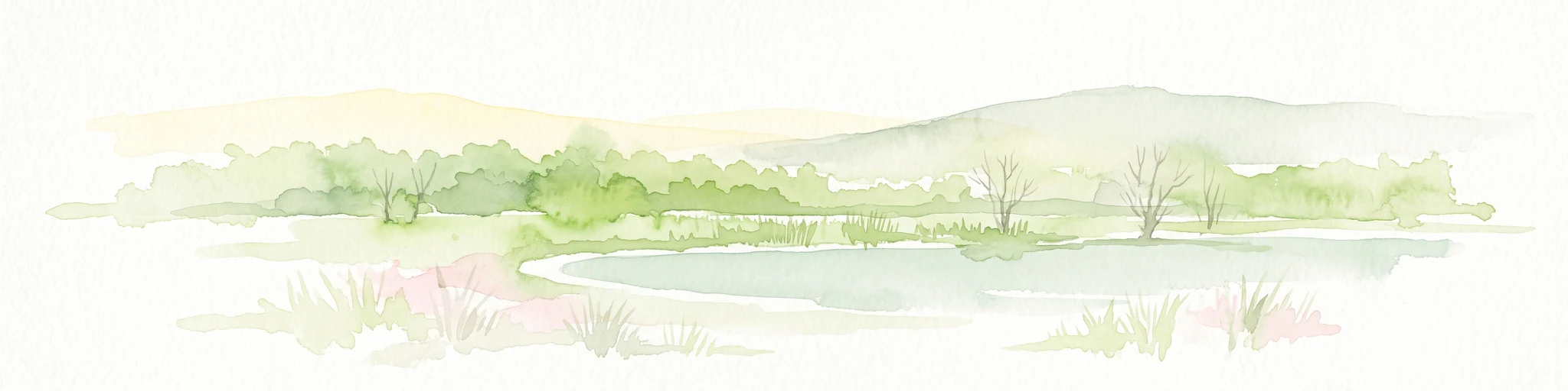
A soft watercolor illustration of a calm pond surrounded by green vegetation and rolling hills in the background.
Nature reserveWartburgkreis
About 1.9 km away#2 closest

East

Dankmarshäuser Rhäden: Protected Wetland Reserve and Mapped Floodplain in Wartburgkreis

Restored basin landscape along the historic Green Belt corridor.

Dankmarshäuser Rhäden comprises a complex wetland mosaic in the Wartburgkreis district. This nature reserve, characterized by shallow subsidence basins and active floodplain management, represents a critical migratory bird sanctuary and a key component of the protected Green Belt. The area reveals a history of land-use transition, from agricultural depression to a functional, water-managed ecosystem supporting diverse meadow-nesting and migratory bird populations.

Area
1.217 km²
Established
1995
IUCN
IV
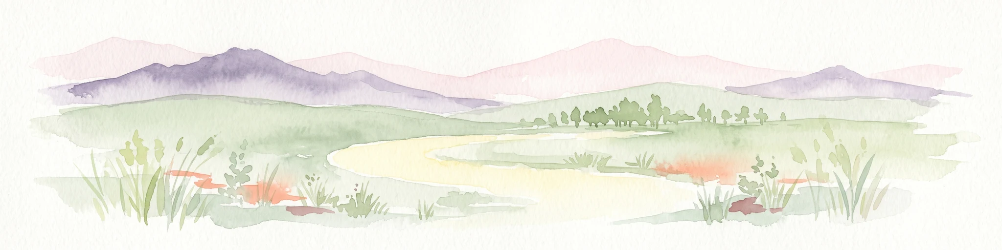
A soft watercolor illustration depicting a flat green wetland landscape with a winding river and distant rolling hills under a pale sky.
Nature reserveHesse
About 2.2 km away#3 closest

East

Rhäden bei Obersuhl und Bosserode: Nature Reserve and Wetland Mosaic in Northern Hesse

A restored floodplain landscape in the Werra valley

Rhäden bei Obersuhl und Bosserode represents a significant subsidence basin restored from agricultural land into a thriving wetland. This protected nature reserve in Hesse features a structured mosaic of ponds, reedbeds, and wet meadows, serving as a primary regional site for bird migration and habitat conservation within the Werra valley geography.

Area
1.204 km²
Established
1973
IUCN
IV
Relief
Lowland
Nature reserveThuringia
About 3.4 km away#4 closest

Northeast

Werra bis Treffurt mit Zuflüssen: Protected River and Floodplain Network in Thuringia

Mapping an extensive 191 kilometer Natura 2000 river corridor.

The Werra bis Treffurt mit Zuflüssen protected area serves as a vital ecological corridor in Thuringia. This site encompasses a complex mosaic of fast-flowing highland brooks, expansive floodplain meadows, inland salt sites, and rare dissolution lakes. Its geography bridges high-altitude source regions with lower river valleys, creating a distinctive landscape transect that supports essential freshwater habitats and rare aquatic species across the state.

Area
22.6 km²
Established
2008
IUCN
IV
Relief
Mixed relief
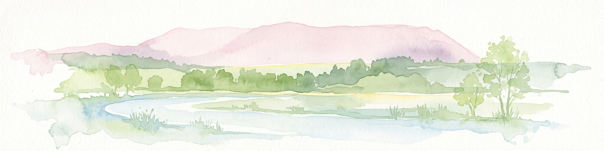
A soft watercolor illustration of a wetland scene with light blue water in the foreground, green trees in the midground, and soft pink hills in the background.
Nature reserveHessen
About 4.4 km away#5 closest

Southeast

Rohrlache von Heringen Protected Area and Werra Valley Wetland Geography

Nature reserve featuring rare saline meadows and alluvial terrain

Rohrlache von Heringen stands as the largest inland saline site in Hesse. This protected area preserves a rare ecosystem of salt-tolerant flora and vital breeding grounds for waterbirds, shaped by both natural Zechstein geology and long-term industrial influences along the Werra river floodplain.

Area
0.765 km²
Established
1979
IUCN
IV
Relief
Lowland
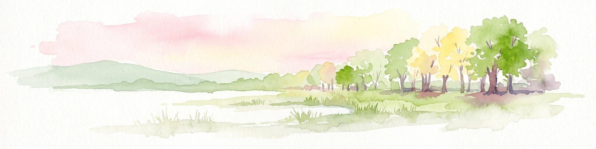
A soft watercolor illustration of a wetland landscape featuring trees, green grasses, a small pond, and distant rolling hills against a pale pink sky.
Nature reserveHesse
About 5.6 km away#6 closest

East

Obersuhler Aue Protected Meadow Complex and Werra Valley Geographic Mapping

Expansive floodplain ecosystems and conservation corridors in Hesse

Obersuhler Aue comprises a vital lowland meadow system that spans the Werra valley floor. The area is characterized by its open, unfragmented grassland terrain, which serves as a landmark site for biodiversity within the Hessian Green Belt. From historic linden avenues to seasonally flooded reedbeds, the landscape provides essential habitat continuity across the regional basin.

Area
0.679 km²
Established
1990
IUCN
IV
Nature reserveWartburgkreis
About 6.2 km away#7 closest

East

Werraaue bei Berka und Untersuhl: Protected Floodplain and Wetland Geography in Wartburgkreis

Mapped riverine habitat and regional conservation area

Located in the heart of the Berka basin, this nature reserve protects a diverse floodplain environment featuring rare inland saline habitats and intricate oxbow lake systems. Serving as a vital ecological stepping stone along the former inner-German border, it represents one of the most important meadow bird corridors within the Wartburgkreis district.

Area
2.558 km²
Established
1996
IUCN
IV
Relief
Lowland
A soft, minimalist watercolor illustration showing a rolling green landscape with distant hills and patches of pink and yellow vegetation.
Nature reserveHessen
About 8.8 km away#8 closest

Northwest

Dachsberg bei Iba Nature Reserve: Protected Landscapes and Geography in Hessen

Rare calcareous dry grasslands and juniper heath terrain

Located in the Ibaer Hügelland of northeastern Hessen, Dachsberg bei Iba encompasses 27 hectares of lime-rich, shallow-soil slopes. This nature reserve provides essential habitat for threatened orchids and invertebrates, serving as an important example of a traditional cultural landscape preserved through ongoing conservation efforts and historical pastoral land use.

Area
0.271 km²
Established
1993
IUCN
IV

Common questions about visiting, size, designation, and location context for Säulingssee Nature Reserve

Säulingssee Nature Reserve FAQs for park facts, access, geography, and protected area context

Find quick answers about Säulingssee Nature Reserve, including protected-area facts, park geography, trail and visitor context, and how the park fits into its surrounding country and regional landscape.
MoriAtlas Explorer

Continue Your Protected Areas Search Across the Global Atlas

Deepen your exploration by continuing the structured search for national parks and protected areas worldwide. Utilize the comprehensive filtering capabilities to compare different conservation landscapes and refine your understanding of global park geography. Discover more about the distribution and characteristics of protected natural areas.

Global natural geography