Mori Atlas logo
Park earthquake history

Explore a curated catalogue of recorded regional seismic events mapped by proximity

Historical Earthquake Records and Seismic Activity Near Sawtooth National Forest

This resource provides a structured collection of historical earthquake data associated with the geographic footprint of Sawtooth National Forest. Each entry details recorded seismic activity by event date, magnitude, depth, and calculated distance from forest boundaries. By organizing these occurrences through a spatial lens, the collection offers clear insight into the historical seismic environment of the northern Rocky Mountains.

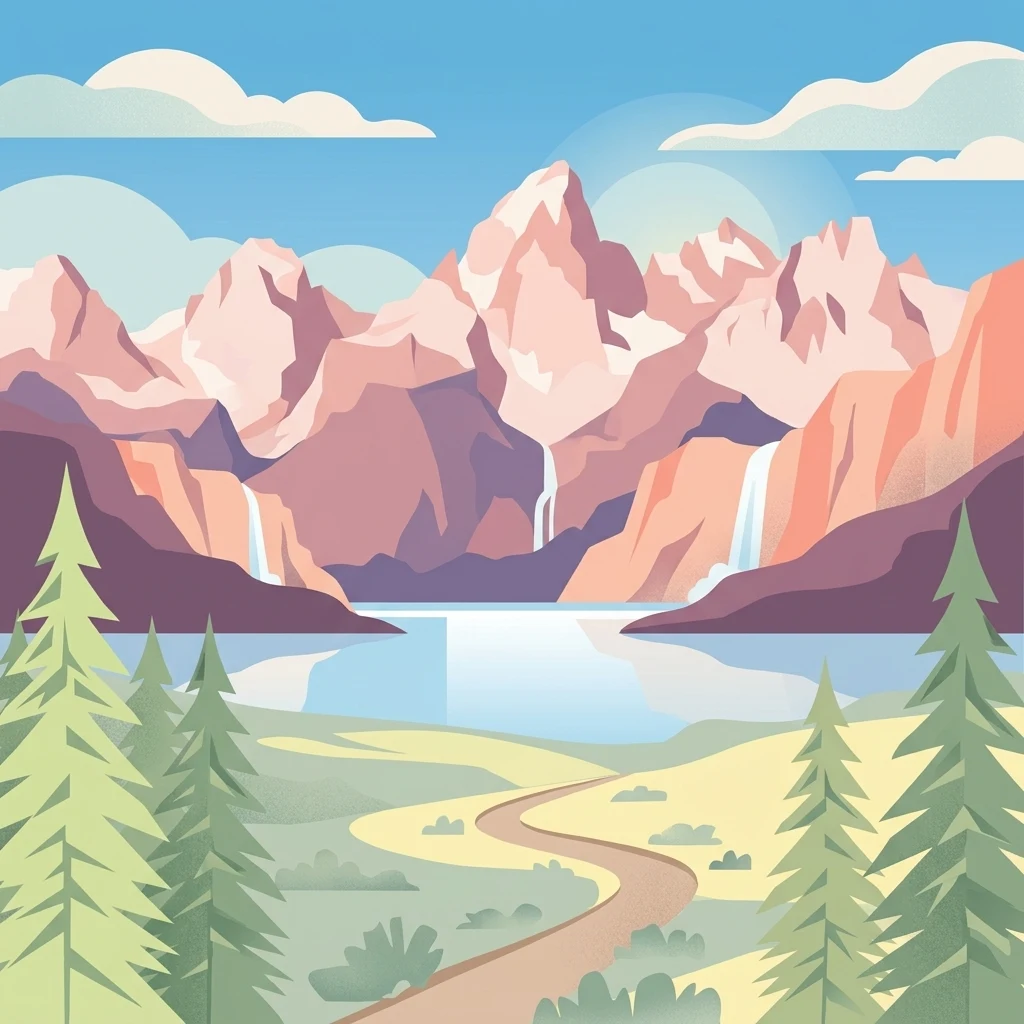
Vector illustration depicting tall, jagged mountains under a clear sky, with waterfalls cascading into a central lake and a dirt path winding through pine trees in the foreground.

Idaho's flagship national forest, named for its jagged Sawtooth Mountains and threaded with rivers, lakes, and wilderness.

Sawtooth National Forest

Sawtooth National Forest is a vast federally protected natural landscape in central and southern Idaho, with a small portion extending into northwestern Utah. It stretches across roughly two million acres of mountainous terrain in the northern Rocky Mountains and parts of the Basin and Range Province, and it was named for the jagged, tooth-like skyline of the Sawtooth Range that traverses its heart. The forest is organized around the Sawtooth National Recreation Area (SNRA) plus three ranger districts: Fairfield, Ketchum, and Minidoka. Within its boundaries lie the Sawtooth, Cecil D. Andrus–White Clouds, and Hemingway–Boulders wilderness areas, all of which represent some of the state's most rugged and clean-air landscapes. The forest protects a striking gradient of habitats, from low-elevation sagebrush steppe up through coniferous forests, alpine lakes, and high tundra. Beyond its wild character, Sawtooth National Forest plays a central role in Idaho's outdoor identity. It feeds water to the Snake River Plain, anchors one of the country's most historic ski regions around Sun Valley, and hosts more than a million visitors each year. The landscape is deeply tied to Shoshone heritage, nineteenth-century mining and trapping history, and ongoing debates over wilderness and resource use that have shaped Idaho conservation policy for decades.

Location
United States of America
Park type
Protected landscape
Established
1905
Area
8,540.5 km²
Highest point
3,660 m
Sawtooth National Forest Map and Geography

Navigate Sawtooth National Forest records by magnitude and distance

Browse historical earthquake observations near Sawtooth National Forest

Historical earthquake observations near Sawtooth National Forest are linked to the forest through event epicentres and calculated distances, not proof of events inside it. Browse dates, magnitudes, depths, reported places, distance measures, and sources without assigning seismic causes to mountain or forest features, evaluating present danger, or forecasting later earthquakes.

Sort by
Magnitude
Location

This page describes catalogued earthquakes associated with the park by epicentre location and distance. It does not establish causation, assess current danger, or predict future earthquakes.

No earthquake records match the current filters

Park atlas

Continue from Sawtooth National Forest earthquake records

Explore more park destinations beyond Sawtooth National Forest

Following the Sawtooth National Forest earthquake records, explore an independently selected group of parks and protected areas. The destinations are not grouped by matching mountain forests, management status, biodiversity, geology, seismic history, nearby geography, hazard, risk, or source availability.
A soft watercolor painting of a mountain landscape with gentle green rolling hills, light green distant peaks, and scattered pink floral accents in the foreground against a white background.
Wildlife reserveIdaho
Park boundaries overlap#1 closest

Northeast

Jim McClure, Jerry Peak Wilderness: Geography and Protected Landscape Map in Idaho

Mapping central Idaho's remote mountain backcountry

Investigate the high-elevation wilderness geography of Jim McClure, Jerry Peak. This protected area in Custer County sits within the Salmon-Challis landscape, featuring a rugged mix of mountain peaks, dense coniferous forests, and remote drainages that define the character of the American West.

Area
473.07 km²
Established
2015
IUCN
Ib
Relief
Mountain
Soft watercolor illustration of a rolling mountain landscape with a forested foreground and faded, distant peaks.
Protected landscapeIdaho
Park boundaries overlap#2 closest

North

Salmon, Challis National Forest: Geography and Protected Land Map in Central Idaho

Extensive alpine ridges and wild river corridors

Spanning over 4.2 million acres, Salmon, Challis National Forest is a foundational protected landscape in Idaho. This area includes the highest peaks in the state, such as Borah Peak, and holds the majority of the Frank Church, River of No Return Wilderness. Utilize this atlas resource to examine the intricate mountain topography, expansive river systems, and the contiguous wild corridors that define this significant portion of the northern Rockies.

Area
17,142.2 km²
Established
1908
Relief
Mountain
Climate
Temperate
Watercolor painting of a tranquil lake surrounded by green forests and soft mountain ridgelines against a white background.
Protected landscapeIdaho
Park boundaries overlap#3 closest

North

Sawtooth National Recreation Area: Mapping the Protected Landscape of Central Idaho

A vast mountain wilderness of granite peaks and glacier-carved lakes.

The Sawtooth National Recreation Area encompasses a quintessential northern Rocky Mountain terrain defined by the dramatic Sawtooth, White Cloud, and Boulder ranges. This protected landscape preserves over 700,000 acres of high-elevation wilderness, ranging from jagged granite arêtes to the broad, U-shaped Sawtooth Valley, serving as a critical hydrologic anchor for the rivers of the American West.

Area
2,957.7 km²
Established
1972
Relief
Mountain
Climate
Alpine
Protected areaIdaho
2.2 km away#4 closest

Southeast

Curlew National Grassland: Protected Area Geography and Sagebrush Steppe Landscape in Idaho

Mapped regional geography and rangeland conservation context

Located in southeastern Idaho, Curlew National Grassland offers an expansive view of the Intermountain sagebrush steppe. This protected area provides a historical example of Depression-era land restoration and currently functions as a vital habitat for sagebrush-associated wildlife, showcasing the unique, rolling plains and semi-arid terrain characteristic of the northern Great Basin.

Area
193.4 km²
Established
1934
Relief
Upland
Scope
Terrestrial
A horizontal watercolor illustration depicting a winding river flowing through a forested valley surrounded by soft, hazy mountain silhouettes.
Wildlife reserveIdaho
9.2 km away#5 closest

North

Frank Church, River of No Return Wilderness: Idaho Protected Mountain and River Landscapes

Discover massive roadless geography and river-carved mountain terrain.

Spanning over 2.3 million acres in central Idaho, the Frank Church, River of No Return Wilderness represents one of the most significant intact roadless landscapes in the lower 48 states. This protected area features a complex mosaic of coniferous forests, high-altitude alpine ridges, and the steep, jagged canyons of the Salmon River, creating a unique geographic profile for regional exploration.

Area
9,578.21 km²
Established
1980
IUCN
Ib
Relief
Mountain
A watercolor painting showing soft green hills, distant pink-hued mountains, and a pale blue lake in a serene, stylized landscape.
Protected landscapeNevada
50 km away#6 closest

Southwest

Humboldt, Toiyabe National Forest: Protected Landscape and Regional Mountain Geography

A vast network of Nevada mountain ranges and alpine wilderness

Humboldt, Toiyabe National Forest serves as a defining public land entity across Nevada and eastern California. As the largest national forest in the contiguous United States, it preserves a striking collection of isolated mountain ranges, including the Ruby Mountains and the rugged Jarbidge wilderness, within a broader basin-and-range landscape. Examine the boundaries and terrain that characterize this complex, high-desert ecosystem.

Area
25,454 km²
Established
1908
Relief
Mountain
Access
Easy access
Protected landscapeIdaho
60 km away#7 closest

Northwest

Payette National Forest: Geographic Overview of Idaho's Rugged Mountain Wilderness

Protected granite landscapes and glacial basin geography

Encompassing a vast portion of central Idaho, Payette National Forest represents a significant protected wilderness corridor. The forest geography transitions from granite-based alpine peaks and deep river gorges to dense coniferous slopes, providing essential habitat and extensive trail connectivity throughout the Northern Rockies.

Area
9,419.55 km²
Established
1944
Relief
Mountain
Access
Access unknown
Wildlife reserveNevada
70 km away#8 closest

South

Jarbidge Wilderness: Protected Mountain Terrain and Geographic Map Context in Nevada

High-altitude wilderness geography and canyon landscapes

Located in the remote Jarbidge Mountains, this wilderness area transitions from arid sagebrush steppe to dense subalpine forests and dramatic river canyons. The region preserves headwater streams and over a dozen significant summits, offering a complex look at the natural topography of the northern Great Basin in Nevada.

Area
457.97 km²
Established
1964
IUCN
Ib
Relief
Mountain
MoriAtlas Explorer

Continue Exploring the Protected Landscapes of Sawtooth National Forest

Deepen your knowledge of Sawtooth National Forest through our detailed geographic data and mapped wilderness corridors. MoriAtlas provides a clear look at the structural terrain, river headwaters, and mountain ranges that define this central Idaho landmark.