
Mapping the geologic variety of granite spires, mountain watersheds, and forest groves
Geographic Collection of Named Natural Features Across Sequoia National Forest Landscape
This geographic collection documents the diverse natural features associated with the Sequoia National Forest in California. From the towering granite monoliths along the high Sierra crest to the deep river canyons of the Kaweah and Kern watersheds, this dataset highlights the landforms and ecosystems that define the southern Sierra landscape. Users can examine specific geological and biological features that characterize this sprawling protected area.
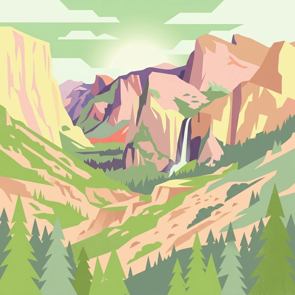
Trace Sequoia National Forest records through Sierra valleys, glaciers, lakes, and rivers
Glacial mountain, forest, wetland, lake, and river records in Sequoia National Forest
Mapped hydrological network and river channels
Rivers
Examine the network of rivers that intersect the diverse terrain of Sequoia National Forest. This collection offers a structured overview of mapped watercourses and drainage channels, providing geographic context for the watersheds that descend from the high Sierra Nevada crest into the western foothills.
Explore the Geographic Boundaries of Sequoia National Forest
Examine the expansive protected terrain and ecological zones of Sequoia National Forest through the MoriAtlas mapping resource. Gain a deeper understanding of this southern Sierra Nevada landscape, including its river watersheds, granite landforms, and significant giant sequoia distribution across the region.