
Mapping the volcanic cones, granite spires, and river systems that define this regional landscape
Catalog of Named Natural Features and Geographic Landmarks within Shasta–Trinity National Forest
This collection identifies the prominent natural features associated with Shasta–Trinity National Forest, spanning the varied terrain where the Klamath Mountains meet the southern Cascade Range. Users can investigate the spatial distribution of volcanic landforms, rugged wilderness peaks, and expansive reservoir shorelines that shape this vast protected territory. The dataset organizes these geographic points of interest to reveal the complex interplay of high-altitude alpine zones, deep canyon drainage, and unique geological formations found throughout this forest landscape.
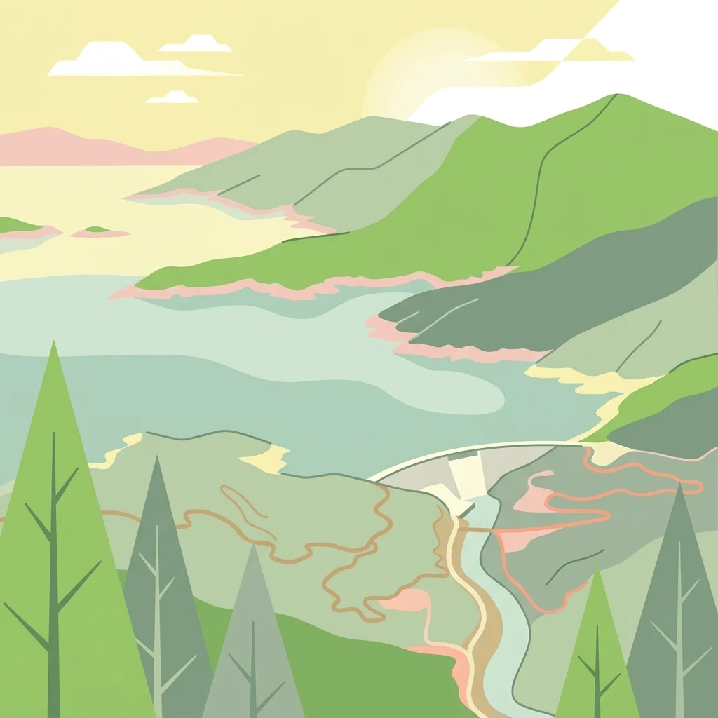
Trace Shasta–Trinity National Forest features through volcanoes, valleys, lakes, and rivers
Volcanic mountain, forest, wetland, lake, and river records in Shasta–Trinity National Forest
Structural overview of mountain range systems and regional topography
Mountain ranges
Examine the mountain range systems that define the topography of Shasta, Trinity National Forest. This collection maps the spatial extent of the Klamath Mountains and the Cascade Range within the forest boundaries, offering a clear perspective on how these varied highland terrains and geological structures shape the regional wilderness landscape.
Explore the Mapped Geography and Protected Landscapes of Shasta–Trinity National Forest
Continue your geographic exploration into the complex terrain of Shasta–Trinity National Forest. MoriAtlas provides a clear view of the mountain ranges, reservoir systems, and vast wilderness boundaries that define this essential Northern California protected landscape.