
Why Siegaue in den Gemeinden Windeck, Eitorf und der Stadt Hennef stands out
The protected area is best known for safeguarding a long, ecologically functional stretch of the Sieg floodplain, including the confluence zone where the Bröl joins the Sieg. Its protection profile emphasizes a continuous, passable river system hosting demanding native fish species such as Atlantic salmon, sea trout, nase, barbel, bitterling, schneider, minnow and lampreys. Equally central are its species-rich wet meadows, reedbeds, floodplain woodlands and natural flooding processes, which together give the Aue its traditional cultural and ecological character.
Siegaue in den Gemeinden Windeck, Eitorf und der Stadt Hennef history and protected-area timeline
The reserve was placed under formal nature protection in 1992, when the responsible authorities in North Rhine-Westphalia designated the Siegaue in the municipalities of Windeck and Eitorf and the city of Hennef as a Naturschutzgebiet under the reference number SU-026. The designation consolidated protection for a floodplain landscape that had already been shaped for centuries by a mix of river dynamics and traditional agricultural use in the Aue.
The formal protection framework was structured around clear ecological goals: securing a continuous river system with self-reproducing native fish populations, including demanding species such as salmon, sea trout, nase, barbel, bitterling, schneider, minnow and lampreys; preserving and optimizing a largely unobstructed river axis framed by riparian woodlands, reedbeds and tall-herb vegetation as part of a state-level and European biotope network; maintaining species-rich meadow communities, including fresh, moist and wet grassland, floodplain swards and reed meadows with associated fallow land as habitats for endangered plants and animals; retaining typical floodplain woody features such as field copses, hedgerows and tree groups; and safeguarding the natural flood zones of the Sieg and its tributaries together with floodplain-compatible land use.
Siegaue in den Gemeinden Windeck, Eitorf und der Stadt Hennef landscape and geographic character
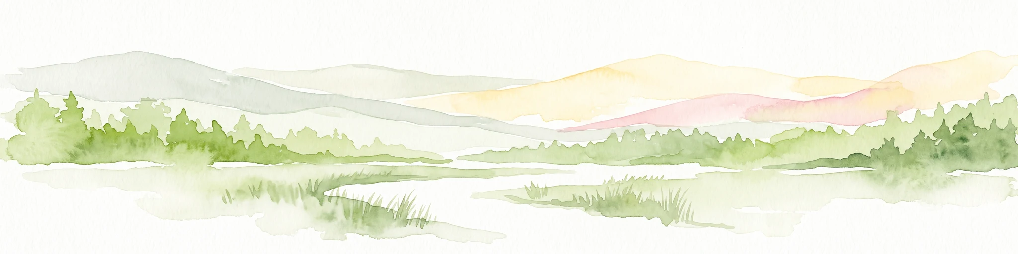
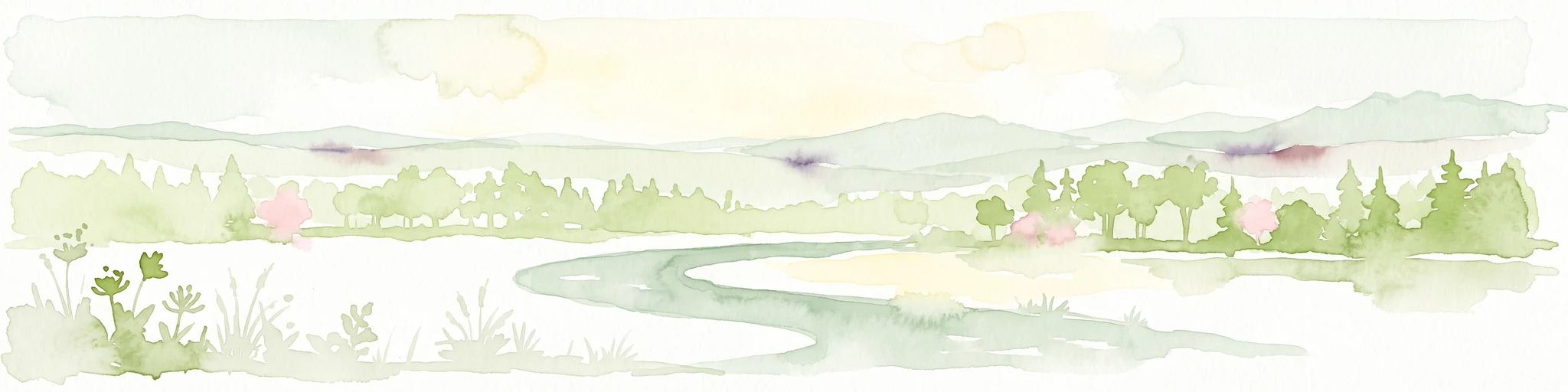
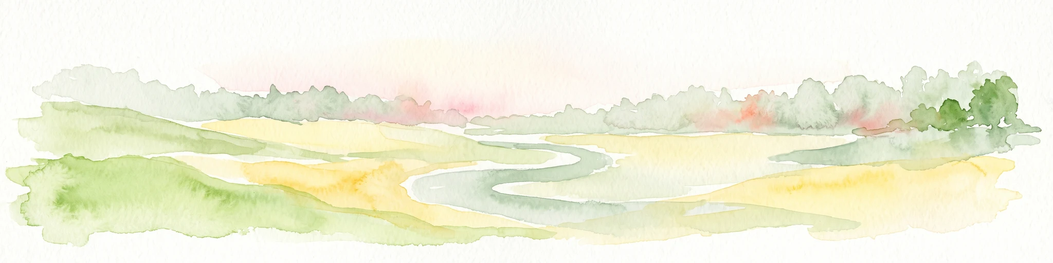
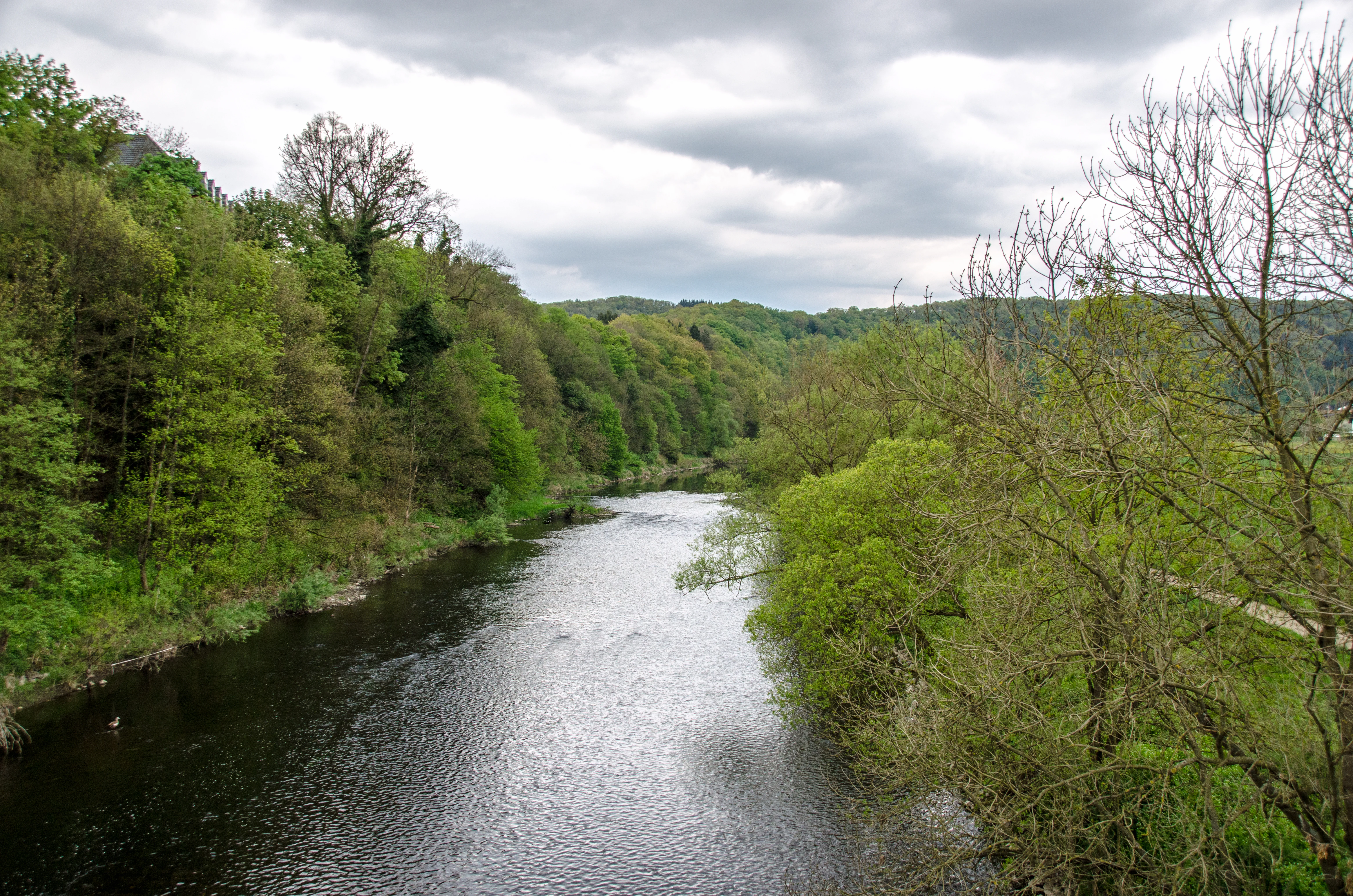
The landscape of the reserve is a classic lowland river floodplain, shaped by the Sieg and the lower Bröl. The terrain is gently sloping and dominated by alluvial flats rather than hills or highlands, with the river cutting a meandering corridor through deposits of gravels, sands and silts. The floodplain opens out particularly wide in the confluence area where the Bröl meets the Sieg, creating a broad working expanse of wet meadows, reedbeds and shrubby margins.
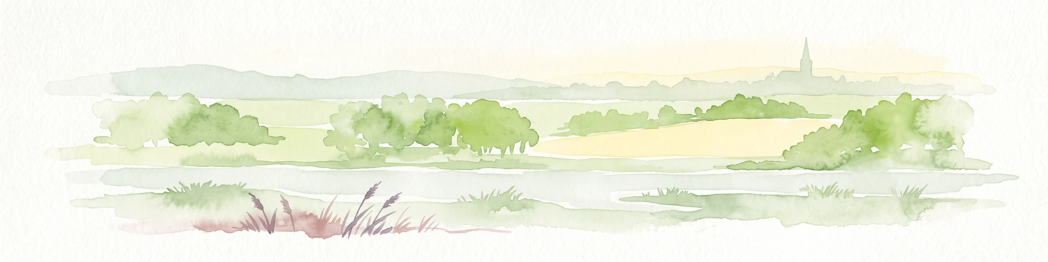
Ribbons of riparian woodland line the active river channel, often forming narrow alder and softwood gallery forests. Beyond these wooded edges, the landscape transitions into open grassland, interspersed with scattered hedgerows, solitary trees and small field copses that are characteristic of traditional German Auen landscapes. Seasonal flooding continues to sculpt the surface, altering small channels, depositing fresh sediments and creating the mosaic of wet depressions and slightly elevated drier ground that gives the floodplain its visible textural variety.
The overall impression is of a calm, low-elevation river corridor rather than a dramatic landscape, but the visual identity of the reserve rests on this combination of open water, riparian woodland and unfenced, unbroken meadow horizons that still feel agriculturally lived-in.
Siegaue in den Gemeinden Windeck, Eitorf und der Stadt Hennef ecosystems, habitats, and plant life
Ecologically, the reserve functions primarily as a floodplain ecosystem built around a continuous river system and its surrounding wet habitats. The river itself is at the heart of the protected area, carrying the responsibility of maintaining viable, self-reproducing populations of native fish, including demanding migratory and rheophilic species that depend on clean gravel beds, intact banks and passable connectivity.
The aquatic axis is framed by a layered mosaic of riparian habitats: bands of riverside woodland, reedbeds and tall-herb vegetation that together form the structural backbone of the local biotope network. These zones serve not only as buffer strips for the river but also as habitat, dispersal corridors and refuge areas for a wide range of plants and animals adapted to fluctuating water levels.
Beyond the immediate shoreline, the Aue is dominated by extensive grassland communities. These include fresh meadows and pastures, moist and wet meadows, floodplain swards and reed meadows, with associated patches of fallow land. This combination is ecologically significant because it preserves both dry and wet grassland types within a single contiguous system, maintaining the species-rich, structurally diverse habitat mosaic that floodplain specialists depend on. The wooded elements, including field copses, hedgerows and tree groups, add structural complexity and connect the open habitats to the river corridor.
Siegaue in den Gemeinden Windeck, Eitorf und der Stadt Hennef wildlife and species highlights
The reserve's wildlife character is tightly linked to its function as a floodplain and river corridor. The protected river system is explicitly valued for sustaining self-reproducing populations of native fish, and the list highlighted in the protection objectives includes Atlantic salmon, sea trout, nase, barbel, bitterling, schneider and minnow, together with lampreys, all of which are considered demanding or sensitive indicators of river quality.
These aquatic species are supported by a structurally intact river with gravel beds, varied flow regimes and connected tributaries. On the land side, the species-rich meadows, reedbeds, fallow patches and floodplain woodlands provide habitat for plants and animals adapted to periodically wet conditions, including threatened species that depend on the continuing existence of extensive, traditionally managed grassland in the Aue. Birds, insects and smaller fauna typical of European river floodplains find a combination of open feeding areas, dense edge vegetation and quiet refuge habitats across the three sections of the reserve.
Siegaue in den Gemeinden Windeck, Eitorf und der Stadt Hennef conservation status and protection priorities
The protected area has clear conservation significance at multiple scales. Locally, it secures a continuous section of the Sieg floodplain against damaging changes in land use or hydrology. Regionally, it is recognized as part of a state-level biotope network, anchored by a largely unobstructed river axis with riparian woodland, reedbeds and tall-herb vegetation. At a broader European level, its ecological corridors and floodplain habitats align it with transnational priorities for connected river and meadow systems.
The conservation objectives are unusually explicit and integrated, combining aquatic, semi-aquatic and terrestrial goals in a single framework. They include preserving passability and ecological function of the river for sensitive native fish; maintaining structural diversity along banks and in adjacent meadows; protecting wet, moist and dry grassland types in their characteristic mosaic; safeguarding floodplain woody features such as hedgerows and field copses; and retaining natural flood dynamics together with land use practices compatible with the floodplain system. This integrated approach reflects the recognition that the reserve's ecological value rests as much on the interaction between natural river processes and traditional cultural land use as on any single species or habitat.
Siegaue in den Gemeinden Windeck, Eitorf und der Stadt Hennef cultural meaning and human context
The reserve sits within the long-standing cultural landscape of the Sieg Aue, where traditional meadow management, grazing and small-scale floodplain woodland use have long shaped the environment. The protection framework explicitly emphasizes the historically grown cultural landscape in the Aue as a conservation goal, treating the continued, ecologically compatible use of floodplain meadows as part of what the nature reserve is meant to preserve rather than as a threat to it.
This framing reflects a broader Germanic conservation approach in which Auen landscapes are valued not only for their ecological content but also as a visible expression of centuries of interaction between communities and a dynamic river system. The reserve's location within a populated and economically active region of North Rhine-Westphalia, spanning parts of three municipalities, also means that floodplain protection here is closely tied to ongoing decisions about land use, water management and rural livelihoods in the Sieg valley.
Top sights and standout views in Siegaue in den Gemeinden Windeck, Eitorf und der Stadt Hennef
Extensive contiguous Sieg floodplain protected across three sections in the municipalities of Windeck and Eitorf and the city of Hennef; a continuous, passable river system supporting sensitive native fish including salmon, sea trout, nase, barbel, bitterling, schneider, minnow and lampreys; an ecologically intact confluence zone where the Bröl meets the Sieg; a rich mosaic of fresh, moist and wet meadows, reedbeds and floodplain swards; traditional hedgerows, field copses and riparian woodlands that maintain structural diversity; and natural flood dynamics retained as a defining feature of the protected area.
Best time to visit Siegaue in den Gemeinden Windeck, Eitorf und der Stadt Hennef
Late spring and early summer are particularly suited to experiencing the floodplain character of the reserve, when species-rich meadows are at their most visible and the river system is actively flowing but generally accessible. Early morning visits during this period offer the best chance to observe wildlife along the meadows and river margins in calm conditions. Late summer and early autumn can also be rewarding, especially if seasonal flooding has refreshed the floodplain and reshaped channels and pools, while winter visits emphasize the open, quiet structure of the Aue and the broader landscape patterns of the Sieg valley.