
Mapping the topographic diversity across granite mountains, coastal cliffs, and wild dunes
Comprehensive Geographic Index of Natural Features in Sintra-Cascais Natural Park
This geographic collection documents the specific natural features associated with Sintra-Cascais Natural Park, illustrating the varied terrain between the Serra de Sintra mountain range and the Atlantic shoreline. By cataloging individual landforms and environmental zones, the database highlights the spatial distribution of granite ridges, coastal headlands, and unique dune systems that define this protected landscape. Users can examine how these features correlate with the regional microclimate and the wider geographic context of Portugal's western coast.
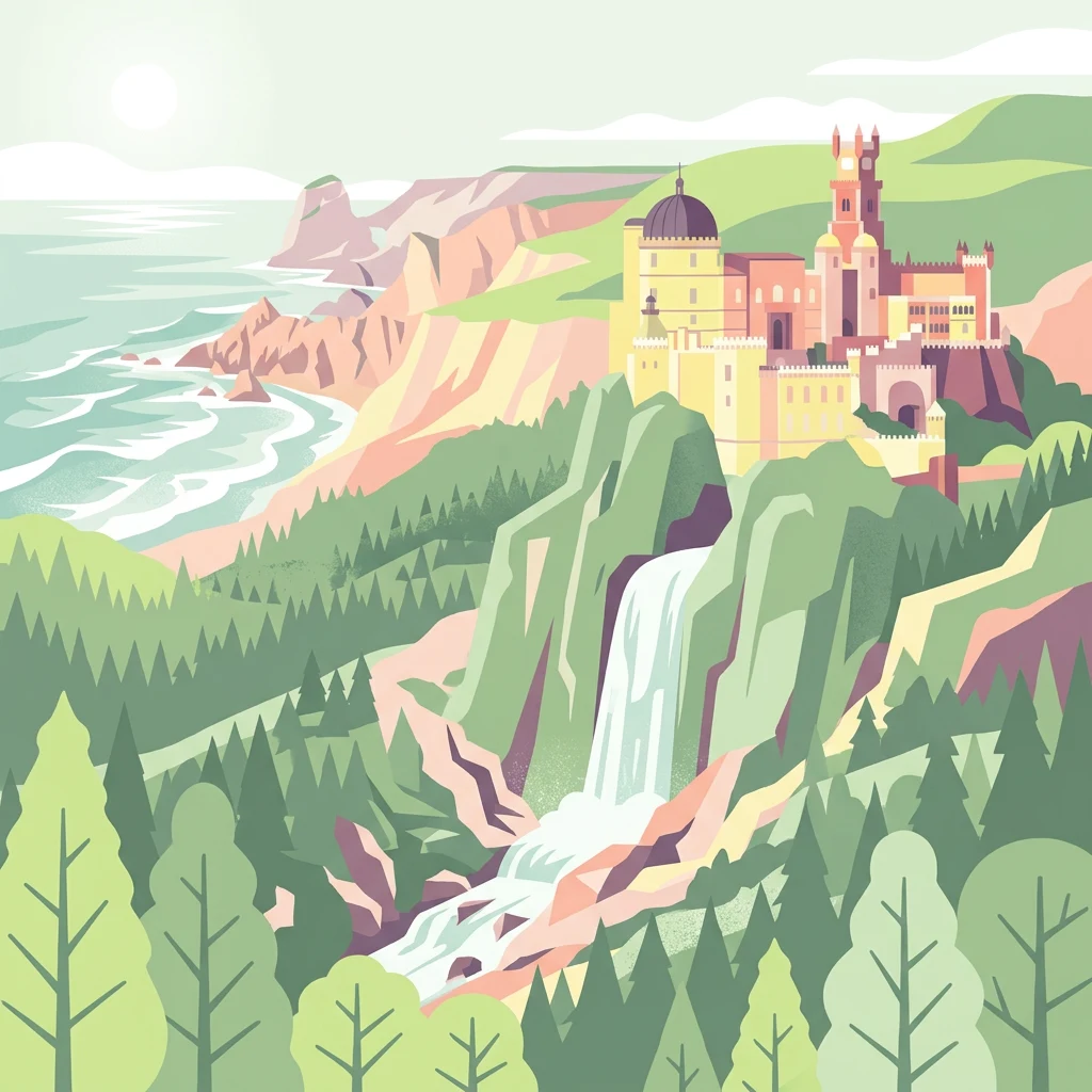
Mapping the unique coastal headlands, granite summits, and dune systems of the Portuguese coast.
Geographic Landmarks and Natural Features of Sintra-Cascais Natural Park
Mapped coastal features within the protected landscape
Beaches
The shoreline of Sintra-Cascais Natural Park exhibits distinct geomorphological characteristics where granite bedrock meets Atlantic currents. This collection highlights the diverse beach features shaped by sediment supply, wind, and tidal influence across the park's expansive coastal boundary.
Mapping geological landforms and coastal erosion patterns
Natural arches
Examine the specific natural arch formations situated across the granite coastal cliffs and interior ranges of Sintra-Cascais Natural Park. This collection provides a geographic perspective on how weathering and marine erosion have created distinct stone spans throughout this protected landscape in Portugal.
Coastal projection and shoreline geography
Capes
This collection focuses on the specific capes identified within the boundaries of Sintra-Cascais Natural Park. By studying these prominent land extensions, users can visualize the physical connection between the protected terrestrial landscape and the Atlantic water body, mapping the structural shifts along this rugged coastline.
Exploration of natural surface voids and coastal karst openings
Cave entrances
Review the documented cave entrance entities distributed across the granite ridges and Atlantic coastal cliffs of Sintra-Cascais Natural Park. This collection highlights the diverse natural openings that intersect with the park surface, illustrating the intersection of geological processes and the rugged Portuguese Riviera landscape.
Map-based analysis of maritime-adjacent terrain
Peninsulas
Investigate the specific peninsula projections located within the Sintra-Cascais Natural Park, documenting how these landmasses interact with the Atlantic coastline. This data highlights the geomorphology of the park, focusing on the connection between inland granitic massifs and the encroaching ocean. The collection supports a deeper understanding of the park's coastal transition zones through a structured catalog of named topographic extensions.
Regional water systems and coastal drainage patterns
Rivers
This collection features the identified rivers and channelized watercourses situated within the diverse geography of Sintra-Cascais Natural Park. Analyze how these water features intersect with the Serra de Sintra mountain range and its surrounding agricultural zones to provide a clearer view of the park's natural terrain.
Mapping hydrological emergence across protected landscapes.
Natural springs
Discover the distribution of named spring features throughout the Serra de Sintra and surrounding protected areas. This database highlights the relationship between granite bedrock geology and the emergence of groundwater, providing insight into the water-rich microclimate that sustains the park's lush vegetation and unique coastal habitats.
Continue Exploring Sintra-Cascais Natural Park's Geographic Context and Mapped Terrain
Deepen your atlas discovery by exploring the intricate geography of Sintra-Cascais Natural Park. Understand its placement within Lisbon District and how its protected landscape contributes to the regional map. This park offers a rich case study in the intersection of natural terrain and human history, inviting further study of its unique ecological and geographical characteristics through structured data and mapping tools.