Mori Atlas logo
Protected landscapeSintra-Cascais Natural Park

Discover the mapped terrain and unique geographic context of this Portuguese protected landscape.

Sintra-Cascais Natural Park: A Protected Landscape of Palaces and Atlantic Coast in Lisbon District

(Parque Natural de Sintra-Cascais)

The Sintra-Cascais Natural Park, situated in Portugal's Lisbon District, represents a vital protected landscape merging dramatic natural terrain with significant cultural heritage. This park safeguards the Serra de Sintra mountain range and its transition to the Atlantic coastline, offering a unique geographic canvas for exploration. Users can discover the park's mapped boundaries, understand its role within the regional geography, and appreciate the fusion of its lush forested peaks, historic palace complexes, and wild coastal expanses.

Protected LandscapeMediterranean ForestCoastal CliffsHistoric PalacesIUCN Category VAtlantic Coast
Illustration showing a castle on a hillside with a waterfall cascading down rocky terrain toward the ocean with forested mountains in the background

Sintra-Cascais Natural Park

Protected landscape

Park overview

Structured park overview, official facts, and landscape profile for Sintra-Cascais Natural Park

Sintra-Cascais Natural Park park facts, protected area profile, and essential visitor context
Review the core facts for Sintra-Cascais Natural Park, including designation, size, terrain, visitor scale, habitats, and operating context in one park-focused overview.

About Sintra-Cascais Natural Park

Sintra-Cascais Natural Park occupies a distinctive position along Portugal's Atlantic coast, where the Serra de Sintra rises dramatically from the coastal plain to create a landscape of exceptional cultural and ecological significance. The park encompasses approximately 145 square kilometers stretching from the historic town of Sintra westward to the Atlantic shoreline at Cabo da Roca, the westernmost point of continental Europe. This protected landscape represents one of Portugal's 13 natural parks and is classified as an IUCN Category V protected area, reflecting its primary purpose of preserving the harmonious interaction between human settlement and the natural environment. The park's boundary includes not only the forested peaks of the Sintra mountains but also the coastal zone comprising dramatic sea cliffs, accessible beaches such as Praia do Guincho, and the fragile Cresmina Dune ecosystem. The Sintra region has been inhabited since prehistoric times, with megalithic monuments and traces of Roman occupation scattered throughout the area. However, the landscape that visitors encounter today is largely the product of the 19th century, when Sintra became a fashionable retreat for Portuguese royalty and European aristocrats who built elaborate Romantic palaces amid the mountain's exotic vegetation. This architectural legacy, combined with the natural beauty of the Serra de Sintra's steep valleys, granite outcrops, and mixed forest, creates a cultural landscape of international renown that attracts visitors from around the world.

Quick facts and research context for Sintra-Cascais Natural Park

Sintra-Cascais Natural Park occupies the western margin of the Lisbon Metropolitan Area along Portugal's Atlantic coast. The protected area encompasses the Serra de Sintra, a granite mountain range rising to 528 meters, along with adjacent coastal zones featuring dramatic cliffs, beaches, and the Cresmina Dune system. The park extends from the mouth of the Rio Falcão in the north to the Guia area near Cascais in the south. Its landscape is characterized by a mosaic of Mediterranean forests, agricultural holdings producing wine and fruit, and pockets of nearly primitive oak woodland. The park was formally protected in 1981 and was designated as a Natural Park in 1994, now managed by the Instituto da Conservação da Natureza e da Biodiversidade (ICNF).

Park context

Deeper park guide and search-rich context for Sintra-Cascais Natural Park

Sintra-Cascais Natural Park history, landscape, wildlife, and travel context
Explore Sintra-Cascais Natural Park through its history, landscape character, ecosystems, wildlife, conservation priorities, cultural context, and seasonal travel timing in a structured park guide built for atlas discovery and search intent.

Why Sintra-Cascais Natural Park stands out

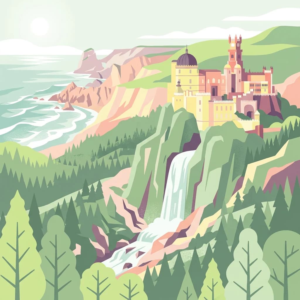
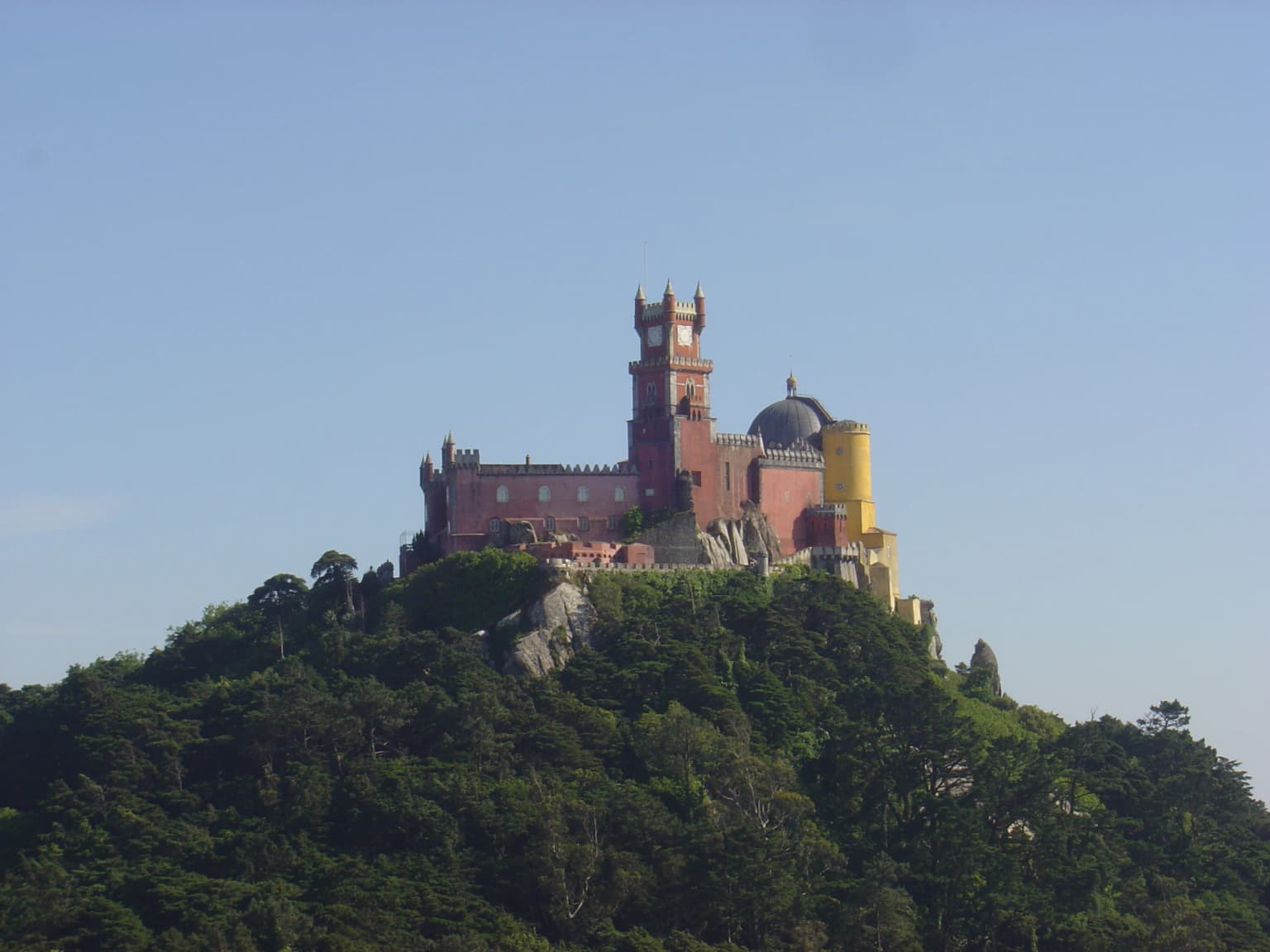
Sintra-Cascais Natural Park is most renowned for its extraordinary concentration of historic Romantic-era palaces and castles that crown the peaks of the Serra de Sintra. The park contains the iconic Pena Palace, a colorful 19th-century hilltop castle, the Castle of the Moors with its medieval walls winding along ridge lines, and the ornate Quinta da Regaleira estate with its initiation wells and underground passages. Beyond its built heritage, the park is famous for the dramatic coastal scenery around Cabo da Roca, Portugal's westernmost point, and for the wild beach of Praia do Guincho, a popular spot for windsurfing. The Sintra mountain itself is celebrated for its unique microclimate that supports lush vegetation unusual for the Iberian Peninsula, creating a green oasis where Mediterranean and Atlantic species mix.

Pena Palace with red and yellow towers on a hilltop surrounded by dense green forest under clear blue sky
Pena Palace atop a forested hill in Sintra-Cascais Natural Park

Sintra-Cascais Natural Park history and protected-area timeline

The Sintra-Cascais region has a long history of human occupation dating back to prehistoric times, as evidenced by megalithic monuments such as the Anta de Adrenunes found within the park boundaries. The area later came under Roman influence and subsequently saw Moorish settlement, from which the Castle of the Moors derives its name and medieval character. Following the Christian reconquest of Portugal, Sintra became a royal hunting ground and retreat for Portuguese monarchs, accumulating a wealth of religious and aristocratic buildings over centuries. Formal protection for the Sintra landscape began in 1981 when the area was first designated as a protected zone, reflecting growing recognition of its cultural and natural significance. In 1994, the Portuguese Government elevated the protected status by establishing the Sintra-Cascais Natural Park, creating a formal framework for conservation and management. The park is now managed by the Instituto da Conservação da Natureza e da Biodiversidade (ICNF), which oversees both the natural ecosystems and the cultural heritage within the boundary. The park has faced significant challenges in recent years, including the storm Martinho in 2025 which caused the fall of approximately 100,000 trees affecting 280 hectares of protected landscape.

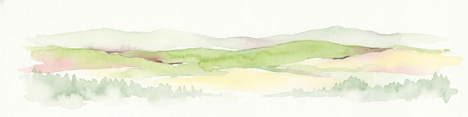
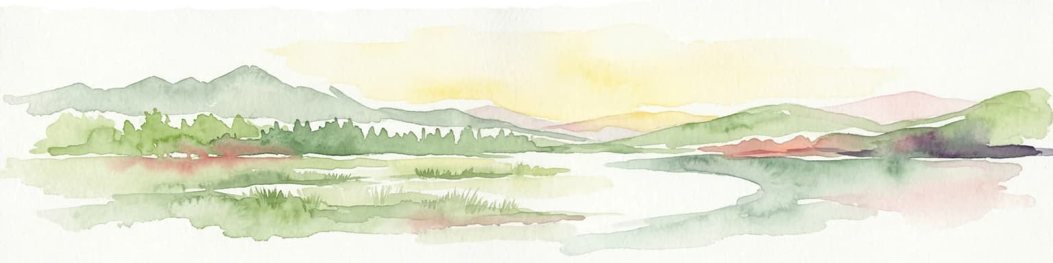
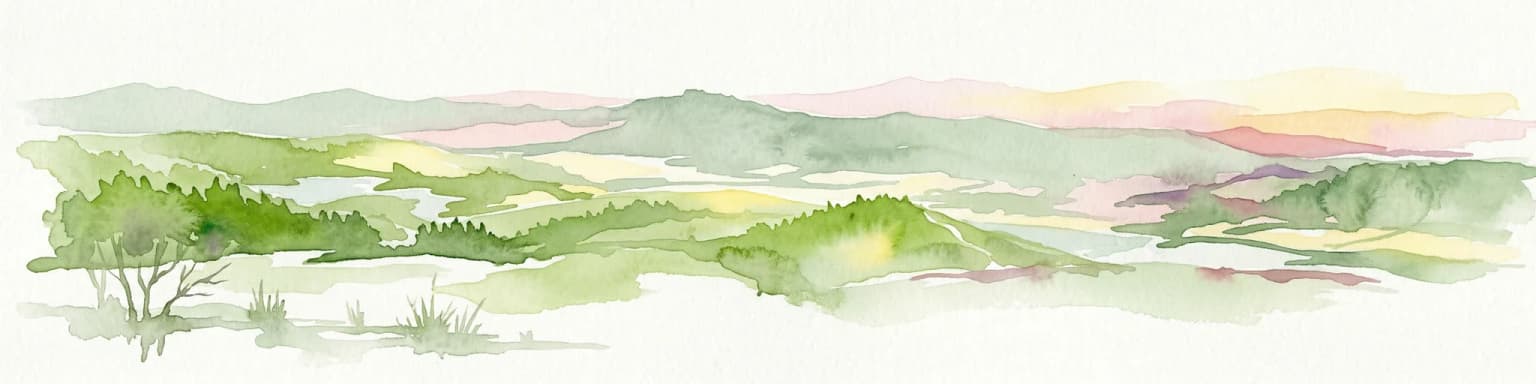
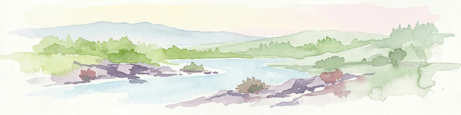
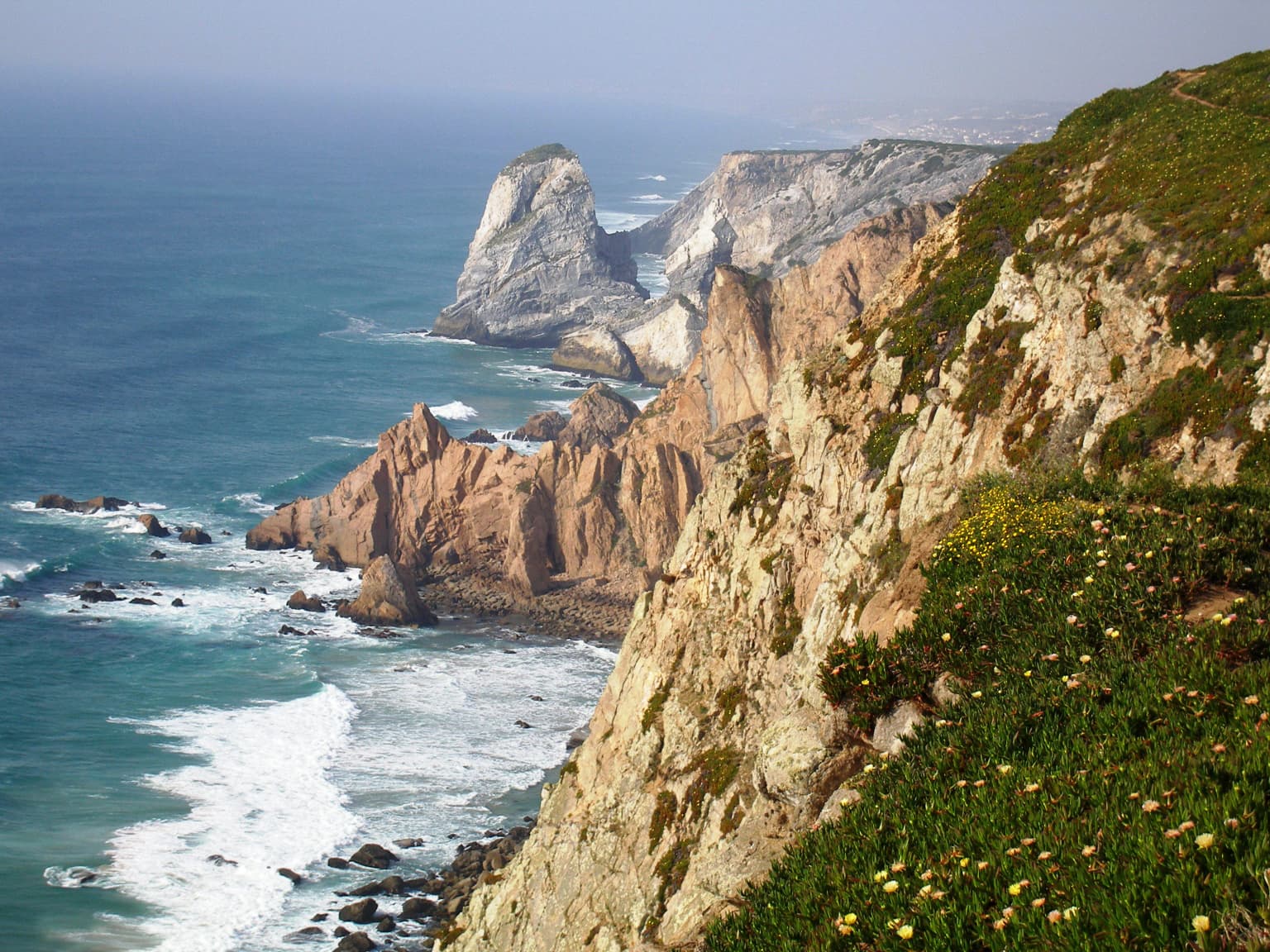
Sintra-Cascais Natural Park landscape and geographic character

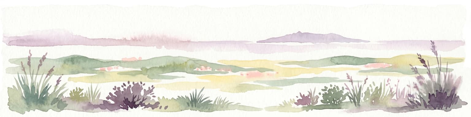
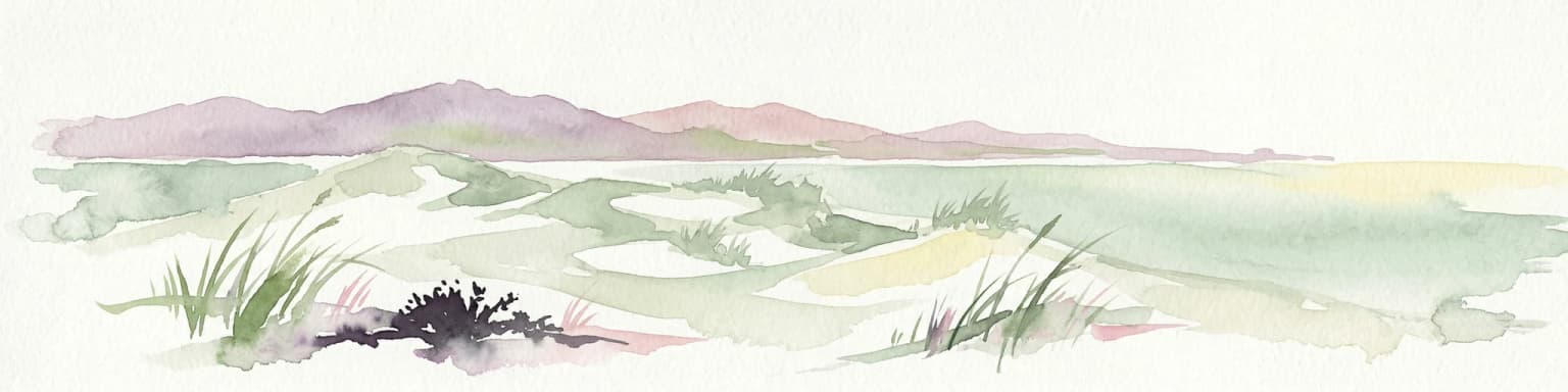
The landscape of Sintra-Cascais Natural Park is defined by the dramatic contrast between the forested peaks of the Serra de Sintra and the wild Atlantic coastline. The Sintra mountains consist primarily of granite bedrock that has been sculpted by erosion into steep ridges, deep valleys, and rounded summits, with the highest point reaching 528 meters above sea level. The mountain's proximity to the ocean creates a unique microclimate characterized by higher humidity and more moderate temperatures than surrounding lowlands, supporting vegetation that is unusually lush for the region. From the mountain slopes, the landscape transitions westward through agricultural terrain dedicated to fruit production and wine cultivation before reaching the dramatic Atlantic coastline. The coast features towering sea cliffs, accessible sandy beaches such as Praia do Guincho, and the distinctive Cresmina Dune, a parabolic dune system that represents a rare coastal habitat type in Portugal. The park also includes the coastal headland of Cabo da Roca, where visitors can stand at the westernmost point of continental Europe and watch the Atlantic waves crash against the granite cliffs below.

Cliffs along the ocean with waves crashing, green vegetation on the hillside
Cliffs and ocean view at Cabo da Roca, Sintra-Cascais Natural Park

Sintra-Cascais Natural Park ecosystems, habitats, and plant life

The ecological character of Sintra-Cascais Natural Park reflects the blending of Mediterranean and Atlantic influences created by the park's position at the transition between these climatic zones. The Sintra mountains support a forest that, while heavily modified by centuries of human use, still contains remarkable diversity, including a near-primeval oak woodland with virtually all Quercus species found in Portugal, notably the carvalho-roble (holm oak) and carvalho-negral (Pyrenean oak). The forest also includes introduced species such as eucalyptus and maritime pine, along with native elements like poplar, willow, and acacia. The coastal zone features distinct habitats including sea cliff communities, beach systems, and the Cresmina Dune, each supporting specialized plant and animal species adapted to salt-laden winds and sandy substrates. The park's biodiversity includes both Mediterranean species reaching their northern or Atlantic limits and Atlantic species at their southern Mediterranean boundaries, creating an ecological crossroads of considerable significance.

Sintra-Cascais Natural Park wildlife and species highlights

The wildlife community of Sintra-Cascais Natural Park reflects the park's diverse habitats, from forested slopes to coastal cliffs and open agricultural areas. The bird population is particularly notable, with birds of prey such as the peregrine falcon, barn owl, goshawk, and Bonelli's eagle nesting in the area and visible hunting along the cliff faces and forest edges. Marine birds including gulls and shearwaters are common along the coastline, and the park's various viewing points attract birdwatchers seeking to observe these species. The reptilian and amphibian community includes species such as the yellow-spotted salamander, midwife toad, horned viper, and orange-bellied newt, which inhabit the damp forests and freshwater areas of the mountain. Mammals present in the park include foxes, moles, and hedgehogs, though these species are often more elusive and difficult to observe than the birdlife. The coastal waters support marine biodiversity as well, though this aspect receives less attention in the available sources.

Sintra-Cascais Natural Park conservation status and protection priorities

Sintra-Cascais Natural Park is designated as an IUCN Category V protected area, reflecting its status as a protected landscape where nature and human activity have evolved together over centuries. This classification acknowledges that the park's cultural landscape, including its historic palaces, agricultural lands, and traditional land uses, is integral to its conservation value. The park is managed by the Portuguese Institute for the Conservation of Nature and Biodiversity (ICNF), which balances protection of both natural habitats and cultural heritage within the boundary. The park faces ongoing conservation challenges, including the impacts of urbanization pressure from the expanding Lisbon metropolitan area, recreational use of coastal areas, and the effects of extreme weather events such as the 2025 storm Martinho which caused significant damage to the forested landscape. Conservation efforts focus on maintaining the ecological connectivity between forest fragments, protecting rare coastal habitats such as the Cresmina Dune, and preserving the traditional agricultural practices that contribute to the park's distinctive character.

Sintra-Cascais Natural Park cultural meaning and human context

The cultural identity of Sintra-Cascais Natural Park is inseparable from its landscape, as the Sintra region has been a site of royal retreat and aristocratic residence since the medieval period. The mountain's dramatic setting, with its steep peaks rising above the coastal plain, inspired centuries of building that culminated in the 19th-century Romantic movement's most extravagant expressions. The Portuguese royal family and European aristocracy built elaborate palaces and estates throughout the Sintra hills, creating an architectural ensemble of international significance that includes the Pena Palace, Monserrate Palace, Quinta da Regaleira, and numerous other properties. These buildings are not isolated monuments but integral elements of the cultural landscape, connected by walking paths, gardens, and viewpoints that allow visitors to experience the park as a cultural itinerary. The agricultural zones within the park, producing wine and fruit, represent another layer of cultural heritage shaped by centuries of human land management. This combination of built heritage, agricultural tradition, and natural landscape creates a cultural context that is uniquely characteristic of the Sintra-Cascais region.

Top sights and standout views in Sintra-Cascais Natural Park

The Sintra-Cascais Natural Park offers an extraordinary variety of attractions within its relatively compact area, making it one of Portugal's most visited protected landscapes. The hilltop complexes of Pena Palace and the Castle of the Moors provide the park's most iconic images, with their colorful towers and battlements set against the green forest backdrop. The coastal area around Cabo da Roca draws visitors seeking to stand at Europe's western edge, while Praia do Guincho attracts windsurfers and beach visitors with its wild Atlantic surf. Within the forest, the Convent of the Capuchos offers a remarkably preserved example of monastic simplicity, with its tiny cells carved into the rock and its chapel decorated with Cork oak bark. The park's network of hiking trails allows visitors to explore the interior, passing through oak woodland, past hidden waterfalls, and between the historic estates that line the mountain slopes. The contrast between the lush vegetation of the Sintra hills and the open Atlantic coast can be experienced within a single day's walk, making the park an exceptional destination for landscape appreciation.

Best time to visit Sintra-Cascais Natural Park

The Sintra-Cascais Natural Park can be visited year-round, though the experience varies significantly with the seasons. The Sintra mountains tend to be cooler and wetter than the coastal plain, and spring and autumn generally offer the most comfortable conditions for exploring the park's network of walking trails. The spring season brings flowering vegetation to the forests and agricultural zones, while autumn often creates atmospheric conditions with mist rising from the valleys. Summer months can be very popular, particularly around the coastal beaches, though the mountain trails provide some relief from the heat. Winter visits offer the advantage of fewer visitors and the opportunity to experience the park's moods when storms sweep in from the Atlantic, though some facilities may have reduced hours. The park's built attractions, including the palaces and historic sites, operate according to schedules that may vary by season, so visitors planning to enter specific buildings should check opening times in advance.

Park location guide

Geography guide, regional context, and park location map for Sintra-Cascais Natural Park

Sintra-Cascais Natural Park park geography, regions, and map view in Portugal
Understand where Sintra-Cascais Natural Park sits in Portugal through a broader geographic reading of the surrounding landscape, nearby location context, and its mapped position within the national park landscape.

How Sintra-Cascais Natural Park fits into Portugal

Portugal is a developed European country on the western Iberian Peninsula. It features a coastline along the Atlantic Ocean, includes the autonomous regions of the Azores and Madeira, and is known for its maritime history during the Age of Discovery. The country has a population of over 10.7 million and operates as a semi-presidential republic with Portuguese as its official language.

Wider geography shaping Sintra-Cascais Natural Park in Portugal

Portugal occupies the western portion of the Iberian Peninsula in Southwestern Europe. The mainland borders Spain to the north and east, while the autonomous regions of Madeira and the Azores are situated in the Atlantic Ocean. The country includes Cabo da Roca, the westernmost point in continental Europe. The terrain varies from plains in the south to mountainous regions in the north.

Map view of Sintra-Cascais Natural Park

Use this park location map to pinpoint Sintra-Cascais Natural Park in Portugal, understand its exact geographic position, and read its mapped placement within the surrounding landscape more clearly.

Pigeon | © OpenStreetMap contributors

Location context for Sintra-Cascais Natural Park

Lisbon District

Visually trace the diverse habitats, dramatic Atlantic scenery, and unique protected-area character of this iconic Portuguese landscape.

Sintra-Cascais Natural Park Photography: Explore Portugal's Coastal Cliffs and Historic Palace Landscapes
Engage with stunning imagery that reveals the varied terrain and unique ecosystems of Sintra-Cascais Natural Park, from its lush Serra de Sintra mountains to the rugged Atlantic coast. These visual insights offer a deeper understanding of the park's distinct blend of natural conservation, cultural heritage sites, and dramatic protected landscapes.

Pena Palace with red and yellow towers on a hilltop surrounded by dense green forest under clear blue sky

Sandy beach with turquoise waves crashing against rocky cliffs under a partly cloudy sky, distant buildings visible on the horizon

Cliffs along the ocean with waves crashing, green vegetation on the hillside

Park atlas

Trace the regional spread of protected landscapes, from coastal cliffs to the historic Serra de Sintra mountains.

Explore Other National Parks and Protected Landscapes Near Sintra-Cascais Natural Park
Continue your park discovery beyond Sintra-Cascais Natural Park by exploring nearby protected areas and national parks. Compare diverse geographic features, from dramatic coastal cliffs to forested mountain ranges, understanding the broader regional context of Portugal's conservation landscapes.
Protected landscapePortugal

Arrábida Natural Park: Protected Landscape Atlas and Geographic Context in Portugal

Mapped boundaries of this key Portuguese protected area.

Arrábida Natural Park is presented here as a significant protected landscape, offering rich details for geographic exploration and atlas-based research. Users can investigate its specific mapped boundaries, understand its environmental setting within Portugal, and utilize this data for comparative analysis of protected areas. This resource focuses on the park's inherent geographic identity and its role as a defined natural landscape.

Area
176.41 km²
Established
1976
IUCN
V
Visitors
23.1K annual
Watercolor illustration of a landscape with rolling hills, a body of water, and vegetation
Protected landscapePortugal

Aire and Candeeiros Ranges Natural Park: Protected Landscape and Regional Geographic Context

Explore the mapped boundaries and natural landscape of this Portuguese protected area.

Understand the Aire and Candeeiros Ranges Natural Park as a key protected landscape in Portugal. This page offers detailed geographic information, focusing on the park's mapped boundaries and its intrinsic connection to the surrounding regional geography. It serves as a portal for atlas exploration, providing structured data for users interested in the specific protected area and its landscape characteristics within the Iberian Peninsula.

Area
383.93 km²
Established
1979
IUCN
V
Visitors
31.9K annual
Protected landscapeAlentejo Litoral

Southwest Alentejo and Vicentine Coast Natural Park: A Protected Landscape in Alentejo Litoral

Explore its mapped boundaries and regional geographic context.

This detail page offers a deep dive into the Southwest Alentejo and Vicentine Coast Natural Park, a protected landscape situated in Portugal's Alentejo Litoral region. Understand the park's identity as a protected area through its geographic features and mapped extent. MoriAtlas facilitates a structured understanding of this natural landscape, enabling focused discovery of its protected boundaries and regional geographical significance.

Area
895.7 km²
Established
1988
IUCN
V
Visitors
12.7K annual
Watercolor illustration of a landscape with green hills, scattered trees, and distant mountains under a pink and yellow sky
Protected landscapePortalegre District

Serra de São Mamede Natural Park: A Protected Landscape Defined by Ecological Transition

Explore the unique mountain terrain and ecosystems of Portalegre District.

Delve into the geographic and ecological identity of Serra de São Mamede Natural Park, a significant protected landscape situated in Portugal's Portalegre District. This area is renowned for its dramatic quartzite ridges and its role as a crucial meeting point for Atlantic and Mediterranean plant communities, offering a unique atlas perspective on regional biodiversity. Examining its mapped boundaries and diverse terrain provides essential context for understanding its ecological importance and its distinct position within the Alentejo region's geography.

Area
560.6 km²
Established
1989
IUCN
V
Visitors
4.5K annual
Watercolor illustration showing a river flowing through a valley with hills and vegetation
Protected landscapeBeja District

Guadiana Valley Natural Park: Protected Landscape Discovery in Beja District

Explore its mapped geography and protected land context.

Guadiana Valley Natural Park is identified as a protected landscape, providing a specific focus for geographic study and map-based exploration. This entry details the park's unique protected-area status and its contextual placement within the expansive Beja District of southern Portugal. Understand the mapped boundaries and landscape features that define this area, serving as a key point for regional geographic understanding on MoriAtlas.

Area
697 km²
Established
1995
IUCN
V
Visitors
749 annual
Watercolor illustration of a landscape with green mountains, a body of water, and colorful wildflowers in the foreground
Nature reservePortugal

Serra da Estrela Natural Park: Glacial Terrain and Highest Peaks in Portugal

Explore the dramatic geography of this nature reserve.

Serra da Estrela Natural Park is a significant protected landscape in Portugal, celebrated for containing the nation's highest peak and exceptional Quaternary glacial formations. The park's terrain includes dramatic valleys carved by ice, numerous glacial lakes, and a stark alpine plateau around Torre. This nature reserve preserves a unique environment shaped by both geological history and traditional pastoralism, offering rich mapped context for understanding Portugal's mountainous geography and protected areas.

Area
891.32 km²
Established
1976
IUCN
V
Visitors
7.6K annual
Protected landscapeAlgarve

Ria Formosa Natural Park Protected Landscape: Algarve Regional Geography

Explore mapped protected landscapes and regional geographic context.

Examine Ria Formosa Natural Park, a protected landscape that defines a significant portion of the Algarve's natural heritage. This atlas-focused exploration details the park's geographic features, its protected status, and its position within the wider regional geography. Understand the mapped extent of this protected landscape and its contribution to the natural context of southern Portugal.

Area
179.01 km²
Established
1978
IUCN
V
Relief
Lowland
Protected landscapeEsposende

Northern Littoral Natural Park Protected Landscape: Geographic Discovery and Atlas Context

Mapped protected areas and regional landscape discovery near Esposende.

Uncover the geographic identity of Northern Littoral Natural Park, a key protected landscape situated near Esposende. This MoriAtlas entry focuses on its mapped boundaries and regional significance, providing a factual basis for understanding its role within Portugal's network of protected areas. Explore the park's natural terrain and its context within the broader geography of the Norte region for comprehensive atlas-based discovery.

Area
87.62 km²
Established
1987
IUCN
V
Relief
Lowland

Common questions about visiting, size, designation, and location context for Sintra-Cascais Natural Park

Sintra-Cascais Natural Park FAQs for park facts, access, geography, and protected area context
Find quick answers about Sintra-Cascais Natural Park, including protected-area facts, park geography, trail and visitor context, and how the park fits into its surrounding country and regional landscape.
MoriAtlas Explorer

Continue Your Protected Areas Search Across the Global Atlas

Deepen your exploration by continuing the structured search for national parks and protected areas worldwide. Utilize the comprehensive filtering capabilities to compare different conservation landscapes and refine your understanding of global park geography. Discover more about the distribution and characteristics of protected natural areas.

Global natural geography