
Mori Atlas logo
Park earthquake history

Review historical earthquake events mapped by epicentre distance to forest boundaries

Six Rivers National Forest Earthquake History: Recorded Seismic Activity Records and Data

This collection provides a structured view of historical earthquake records associated with the geographic footprint of Six Rivers National Forest. The catalogue organizes seismic events by date, magnitude, and epicentral distance, providing clear context for understanding the regional seismic environment. Users can examine individual event data to trace the history of recorded ground motion in the rugged terrain of northwestern California.

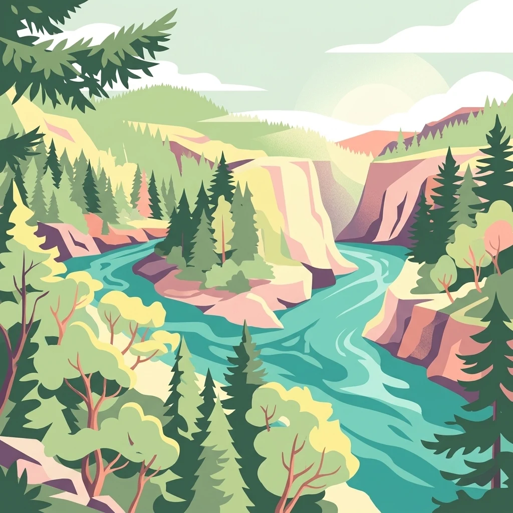
A stylized digital illustration of a turquoise river flowing through a deep canyon surrounded by lush evergreen forests and steep rocky cliffs under a soft, hazy sky.

A vast Pacific Northwest forest in northwestern California, named for the six rivers that shape its landscape.

Six Rivers National Forest

Six Rivers National Forest is a U.S. National Forest spanning the rugged, river-cut country of northwestern California, reaching from the redwood belt of Humboldt and Del Norte counties inland into the forested mountains of Trinity and Siskiyou counties. The forest takes its name from the six major rivers associated with its boundaries: the Eel, Van Duzen, Klamath, Trinity, Mad, and Smith rivers. Together, these drainages carve deep canyons, sustain salmon habitat, and shape the character of one of the most heavily forested national forest units in the contiguous United States. The forest protects an extraordinary mix of ecological zones, from moist coastal Douglas-fir forests near the Pacific to drier inland coniferous woodlands. Beyond the working forests and managed landscapes, large tracts of old growth, miles of wild and scenic rivers, and designated wilderness areas give the forest substantial conservation value. Six Rivers serves both as a working landscape managed by the U.S. Forest Service and as a backdrop for hiking, fishing, camping, river-running, and exploration of one of the most ecologically diverse corners of California.

Location
United States of America
Park type
Protected area
Established
1947
Area
3,875.2 km²
Six Rivers National Forest Map and Atlas

Search Six Rivers National Forest records by park distance

Study historical earthquakes around Six Rivers National Forest

Earthquakes around Six Rivers National Forest are linked to the forest through event epicentres and measured distances, not evidence of occurrences inside it. Study dates, magnitudes, depths, locality names, distance figures, and cited sources without assigning seismic causes to rivers, terrain, or forest qualities, assessing present danger, or forecasting future activity.

Sort by
Magnitude
Location

This page describes catalogued earthquakes associated with the park by epicentre location and distance. It does not establish causation, assess current danger, or predict future earthquakes.

No earthquake records match the current filters

Park atlas

Move past Six Rivers National Forest earthquake records

Continue to additional protected places from Six Rivers National Forest

Continue from Six Rivers National Forest's earthquake history into an independently selected set of protected destinations; the source is a 3,875.2 km² terrestrial mountain area in the United States with major waters, mountains, forest, rivers, and coniferous and broadleaf habitats. Those facts do not characterize the onward cards or imply shared legal status, geography, ecology, seismic evidence, proximity, or risk.
A watercolor illustration showing a soft, panoramic view of green trees and rolling hills against pale, pinkish-yellow mountains in the background.
Protected landscapeCalifornia
Park boundaries overlap#1 closest

Southeast

Mendocino National Forest: Mapping California's Remote Protected Mountain Landscape

Examining wilderness boundaries and rugged coastal terrain

Mendocino National Forest serves as a significant protected area in California, known for being the only national forest in the state without major paved access. Its terrain spans 913,000 acres of mountain peaks, deep river canyons, and old-growth conifer forests. Home to the unique tule elk population at Lake Pillsbury, this landscape provides a rare example of wilderness isolation, complex geothermal features, and rugged, largely untouched northern coastal topography.

Area
3,696.02 km²
Established
1907
Relief
Mountain
Climate
Mediterranean
National parkCalifornia
Park boundaries overlap#2 closest

South

Redwood National and State Parks: Protected Landscape Geography and Mapped Boundaries

Explore California's protected area atlas.

Gain a structured understanding of Redwood National and State Parks as a protected national park within the geographic context of California. This dedicated page focuses on its mapped boundaries and protected landscape identity, offering critical atlas-level insights for regional geography exploration and conservation land context. Discover how this protected area fits into the larger mapped terrain.

Area
562.88 km²
Established
1968
IUCN
V
Visitors
458.4K annual
An artistic watercolor illustration showing a line of green evergreen trees in the foreground with hazy, distant mountains in the background against a light, neutral sky.
Protected landscapeOregon
Park boundaries overlap#3 closest

North

Rogue River, Siskiyou National Forest: Mapped Geography and Protected Area Overview

Tracing volcanic peaks and river-carved mountain terrain in Oregon

Spanning nearly 7,300 square kilometers, the Rogue River, Siskiyou National Forest acts as a crucial ecological anchor in the Pacific Northwest. This overview details its unique mountain geography, the extensive wilderness tracts within its boundaries, and the river systems that define its mountainous character.

Area
6,973.46 km²
Established
2004
Visitors
915K annual
Relief
Mountain
A soft watercolor painting depicting a serene landscape with gentle green hills, a small forest, and a calm lake at sunrise or sunset.
Protected landscapeCalifornia
Park boundaries overlap#4 closest

Southeast

Shasta, Trinity National Forest: Mapping the Protected Landscapes of Northern California

Volcanic peaks, expansive reservoirs, and rugged mountain wilderness

Spanning over two million acres, Shasta, Trinity National Forest represents a major protected landscape in Northern California. The geography includes the iconic Mount Shasta volcano and the complex shoreline of Shasta Lake, while hosting expansive wilderness areas and diverse terrain ranging from oak-forested foothills to alpine meadows.

Area
8,942.87 km²
Established
1954
Relief
Mountain
Climate
Temperate
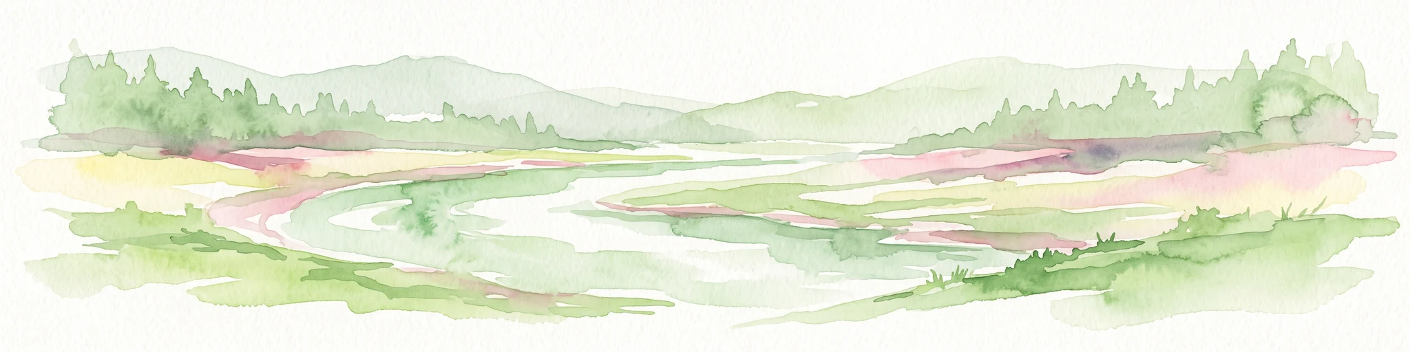
A horizontal watercolor illustration showing a winding river flowing through a lush green valley with rolling hills in the background.
Protected landscapeCalifornia
Park boundaries overlap#5 closest

Northeast

Smith River National Recreation Area: Mapping the Klamath Mountain Protected Landscape

Watershed geography and rugged mountain terrain in northwestern California

Located in the heart of the Klamath Mountains, Smith River National Recreation Area represents a critical protected watershed in northern California. The area is defined by its deep, forested canyons and the clean, wild waters of the Smith River, which serve as a primary link between coastal redwood ecosystems and mountainous inland terrain. Users can study the park boundaries and regional landscape characteristics that sustain this remote environment.

Area
1,235 km²
Established
1990
Relief
Mountain
Climate
Mediterranean
Wildlife reserveOregon
3.4 km away#6 closest

North

Kalmiopsis Wilderness: Mapping the Protected Landscapes and Geology of Southwestern Oregon

Botanical richness and dramatic canyon terrain in the Klamath Mountains

Kalmiopsis Wilderness preserves a dramatic landscape of steep ridges and river-cut valleys across 180,000 acres in southwestern Oregon. Known for its distinct serpentine soils and high botanical diversity, the wilderness area offers a look at complex mountain ecology and significant Wild and Scenic River headwaters within the Rogue River-Siskiyou National Forest.

Area
727.44 km²
Established
1964
IUCN
Ib
Relief
Mountain
Protected landscapeCalifornia
3.9 km away#7 closest

Southeast

Marble Mountain Wilderness: Exploring Protected Mountain Landscapes in Northern California

Klamath Mountains Wilderness and Alpine Geography

Spanning hundreds of thousands of acres, Marble Mountain Wilderness offers a dense concentration of subalpine fir, deep glacial lakes, and steep drainage basins. This northern California protected landscape provides an atlas of rugged ridges and marble-toned peaks that represent one of the most ecologically diverse backcountry areas in the region.

Area
978.3 km²
Established
1964
IUCN
Ib
Relief
Mountain
A watercolor painting of soft, layered mountain ridges and forests in muted green, yellow, and red tones, presented in a wide, horizontal format against a white background.
Protected landscapeCalifornia
About 19 km away#8 closest

Southeast

Klamath National Forest; Protected Landscape Geography and Mapped Wilderness Boundaries

Diverse mountain terrain in Northern California

Klamath National Forest represents a significant protected area in Northern California, encompassing a vast, rugged landscape that bridges the Klamath Mountains and the Cascade Range. Its terrain is characterized by deeply incised river valleys, exposed rocky summits, and an intricate mosaic of coniferous forests. This geographic detail provides essential context on the forest's role as a major site for wilderness protection and ecological study in the Pacific Northwest.

Area
7,033 km²
Established
1905
Relief
Mountain
Climate
Temperate
MoriAtlas Explorer

Explore the Geographic Boundaries of Six Rivers National Forest in California

Continue exploring the complex river-cut terrain of Six Rivers National Forest within the MoriAtlas database. Gain a deeper understanding of this California protected area by examining its mapped corridors, mountainous ridges, and diverse ecological zones that sustain significant old-growth landscapes.