
Lakes
Park geography
Structured data on landscape features, forested terrain, and river basin boundaries
Six Rivers National Forest in California: Comprehensive Geographic and Terrain Profile
The geographic profile of Six Rivers National Forest covers 3875.2 square kilometers of mountainous terrain in California. This structured record provides details on major natural features such as the Smith River and South Fork Trinity River, alongside temperate forest classifications and mountain ridges.
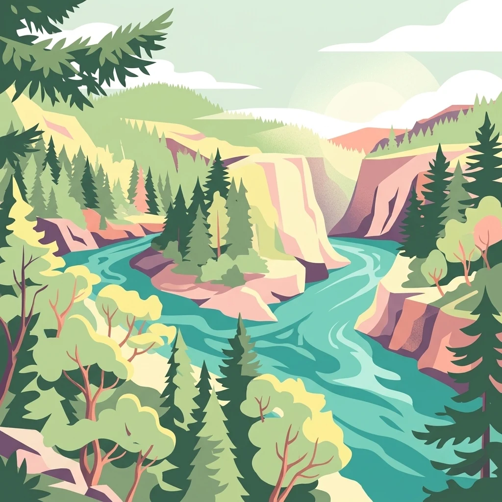
A vast Pacific Northwest forest in northwestern California, named for the six rivers that shape its landscape.
Six Rivers National Forest
Six Rivers National Forest is a U.S. National Forest spanning the rugged, river-cut country of northwestern California, reaching from the redwood belt of Humboldt and Del Norte counties inland into the forested mountains of Trinity and Siskiyou counties. The forest takes its name from the six major rivers associated with its boundaries: the Eel, Van Duzen, Klamath, Trinity, Mad, and Smith rivers. Together, these drainages carve deep canyons, sustain salmon habitat, and shape the character of one of the most heavily forested national forest units in the contiguous United States. The forest protects an extraordinary mix of ecological zones, from moist coastal Douglas-fir forests near the Pacific to drier inland coniferous woodlands. Beyond the working forests and managed landscapes, large tracts of old growth, miles of wild and scenic rivers, and designated wilderness areas give the forest substantial conservation value. Six Rivers serves both as a working landscape managed by the U.S. Forest Service and as a backdrop for hiking, fishing, camping, river-running, and exploration of one of the most ecologically diverse corners of California.
- Location
- United States of America
- Park type
- Protected area
- Established
- 1947
- Area
- 3,875.2 km²
Location overview
Recorded administrative memberships and territorial status across California
Six Rivers National Forest Geography and Regional Location Profile
Six Rivers National Forest sits firmly within the United States of America and the state of California. Regional administrative records document the precise territorial context without transboundary or marine classifications.
- Countries
- United States of America
- Regions
- California
- Primary location
- California
- Geographic setting
- Inland
Boundary and coordinates
Interactive protected boundary geometry and derived area dimensions
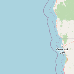
Six Rivers National Forest Boundary Map and Spatial Extent
Mapped boundary geometry provides spatial context for the protected area and its regional layout. Accompanying facts outline calculated area dimensions, coordinate limits, and geographic spans.
- Boundary area
- 4,358.9 km²
- Boundary perimeter
- 996 km
- Northernmost point
- 41.9966° N
- Southernmost point
- 40.0174° N
- Easternmost point
- 123.1265° W
- Westernmost point
- 124.0886° W
- Geographic centre
- 41.1212° N, 123.6394° W
- North–south span
- 219.8 km
- East–west span
- 80.9 km
Terrain and natural features
Stored mountain classifications and recorded hydrologic features
Six Rivers National Forest Terrain and Named Natural Features
Six Rivers National Forest features stored mountain terrain classifications with multiple recorded named features located within its boundaries. Linked feature cards provide names, types, measurements, and spatial relationships where documented.
Selected named natural features
Rivers
South Fork Trinity River
Rivers
Smith River
Streams
Blue Creek
Ridges
Devils Backbone
Streams
West Fork Van Duzen River
Environmental setting
Temperate forests, mediterranean climate zones, and major river networks
Six Rivers National Forest Environmental Setting and Landscape Classifications
Recorded mountain relief, extensive forest cover, and aquatic systems structure the physical setting of Six Rivers National Forest. Cataloged classifications connect stored environmental categories directly to related atlas destinations.
- Relief
- Mountain
- Climate
- Mediterranean
- Water
- Major water bodies
- Forest cover
- Mostly forested
- Seasonality
- Year-round
Landscape features
Mountains · Forest · Rivers
Habitat types
Temperate coniferous forest · Temperate broadleaf forest
Park atlas
Compare connected river valleys and regional forest ecosystems across northern California
Parks Near Six Rivers National Forest and Surrounding Protected Areas
Explore nearby national forests and protected areas sharing the rugged mountainous terrain of northwestern California. Comparing these adjacent regional landscapes reveals broader patterns in coastal conifer zones, river drainages, and wilderness preservation.

Protected landscapeCalifornia
Park boundaries overlap#1 closest
Southeast

Mendocino National Forest: Mapping California's Remote Protected Mountain Landscape
Examining wilderness boundaries and rugged coastal terrain
Mendocino National Forest serves as a significant protected area in California, known for being the only national forest in the state without major paved access. Its terrain spans 913,000 acres of mountain peaks, deep river canyons, and old-growth conifer forests. Home to the unique tule elk population at Lake Pillsbury, this landscape provides a rare example of wilderness isolation, complex geothermal features, and rugged, largely untouched northern coastal topography.
- Area
- 3,696.02 km²
- Established
- 1907
- Relief
- Mountain
- Climate
- Mediterranean
National parkCalifornia
Park boundaries overlap#2 closest
South
Redwood National and State Parks: Protected Landscape Geography and Mapped Boundaries
Explore California's protected area atlas.
Gain a structured understanding of Redwood National and State Parks as a protected national park within the geographic context of California. This dedicated page focuses on its mapped boundaries and protected landscape identity, offering critical atlas-level insights for regional geography exploration and conservation land context. Discover how this protected area fits into the larger mapped terrain.
- Area
- 562.88 km²
- Established
- 1968
- IUCN
- V
- Visitors
- 458.4K annual

Protected landscapeOregon
Park boundaries overlap#3 closest
North
Rogue River, Siskiyou National Forest: Mapped Geography and Protected Area Overview
Tracing volcanic peaks and river-carved mountain terrain in Oregon
Spanning nearly 7,300 square kilometers, the Rogue River, Siskiyou National Forest acts as a crucial ecological anchor in the Pacific Northwest. This overview details its unique mountain geography, the extensive wilderness tracts within its boundaries, and the river systems that define its mountainous character.
- Area
- 6,973.46 km²
- Established
- 2004
- Visitors
- 915K annual
- Relief
- Mountain

Protected landscapeCalifornia
Park boundaries overlap#4 closest
Southeast
Shasta, Trinity National Forest: Mapping the Protected Landscapes of Northern California
Volcanic peaks, expansive reservoirs, and rugged mountain wilderness
Spanning over two million acres, Shasta, Trinity National Forest represents a major protected landscape in Northern California. The geography includes the iconic Mount Shasta volcano and the complex shoreline of Shasta Lake, while hosting expansive wilderness areas and diverse terrain ranging from oak-forested foothills to alpine meadows.
- Area
- 8,942.87 km²
- Established
- 1954
- Relief
- Mountain
- Climate
- Temperate
Protected landscapeCalifornia
Park boundaries overlap#5 closest
Northeast
Smith River National Recreation Area: Mapping the Klamath Mountain Protected Landscape
Watershed geography and rugged mountain terrain in northwestern California
Located in the heart of the Klamath Mountains, Smith River National Recreation Area represents a critical protected watershed in northern California. The area is defined by its deep, forested canyons and the clean, wild waters of the Smith River, which serve as a primary link between coastal redwood ecosystems and mountainous inland terrain. Users can study the park boundaries and regional landscape characteristics that sustain this remote environment.
- Area
- 1,235 km²
- Established
- 1990
- Relief
- Mountain
- Climate
- Mediterranean
Wildlife reserveOregon
3.4 km away#6 closest
North
Kalmiopsis Wilderness: Mapping the Protected Landscapes and Geology of Southwestern Oregon
Botanical richness and dramatic canyon terrain in the Klamath Mountains
Kalmiopsis Wilderness preserves a dramatic landscape of steep ridges and river-cut valleys across 180,000 acres in southwestern Oregon. Known for its distinct serpentine soils and high botanical diversity, the wilderness area offers a look at complex mountain ecology and significant Wild and Scenic River headwaters within the Rogue River-Siskiyou National Forest.
- Area
- 727.44 km²
- Established
- 1964
- IUCN
- Ib
- Relief
- Mountain
Protected landscapeCalifornia
3.9 km away#7 closest
Southeast
Marble Mountain Wilderness: Exploring Protected Mountain Landscapes in Northern California
Klamath Mountains Wilderness and Alpine Geography
Spanning hundreds of thousands of acres, Marble Mountain Wilderness offers a dense concentration of subalpine fir, deep glacial lakes, and steep drainage basins. This northern California protected landscape provides an atlas of rugged ridges and marble-toned peaks that represent one of the most ecologically diverse backcountry areas in the region.
- Area
- 978.3 km²
- Established
- 1964
- IUCN
- Ib
- Relief
- Mountain
Protected landscapeCalifornia
About 19 km away#8 closest
Southeast
Klamath National Forest; Protected Landscape Geography and Mapped Wilderness Boundaries
Diverse mountain terrain in Northern California
Klamath National Forest represents a significant protected area in Northern California, encompassing a vast, rugged landscape that bridges the Klamath Mountains and the Cascade Range. Its terrain is characterized by deeply incised river valleys, exposed rocky summits, and an intricate mosaic of coniferous forests. This geographic detail provides essential context on the forest's role as a major site for wilderness protection and ecological study in the Pacific Northwest.
- Area
- 7,033 km²
- Established
- 1905
- Relief
- Mountain
- Climate
- Temperate
MoriAtlas Explorer
Explore the Geographic Boundaries of Six Rivers National Forest in California
Continue exploring the complex river-cut terrain of Six Rivers National Forest within the MoriAtlas database. Gain a deeper understanding of this California protected area by examining its mapped corridors, mountainous ridges, and diverse ecological zones that sustain significant old-growth landscapes.
Browse next
Global natural geography
Explore related park routes
Explore MoriAtlas Global ParksBrowse All MoriAtlas ParksGlobal Park Map DiscoveryMoriAtlas: Browse All CountriesBrowse All MoriAtlas ContinentsNational Park Environment AtlasGrand Canyon National Park AtlasYellowstone National Park AtlasYosemite National Park Atlas and GeographySerengeti National Park AtlasGalápagos National Park Protected LandscapeBanff National Park Geography and AtlasKruger National Park Atlas EntryUluṟu-Kata Tjuṯa National Park AtlasExplore Uluru-Kata Tjuta National Park GeographyPlitvice Lakes National Park AtlasFiordland National Park Protected LandscapeGreat Smoky Mountains National Park AtlasAfghanistan National Parks and Protected AreasAlbania National Parks and Protected AreasAlgeria National Parks and Protected AreasAmerican Samoa National Parks and Protected AreasAndorra National Parks and Protected AreasAngola National Parks and Protected AreasAntarctica National Parks and Protected AreasAntigua and Barbuda Park List