
Mori Atlas logo
Park guides

A curated index of thematic resources covering seasonal patterns and coastal landscapes.

Slītere National Park Professional Guides: Planning and Geographical Resource Collection

Access the collection of analytical guides for Slītere National Park, which detail the seasonal rhythms of the Baltic coast and the unique geology of the Blue Hills. These resources provide essential context on bird migration corridors, coastal dune ecosystems, and the historical landscape formation of this protected area in northwestern Latvia.

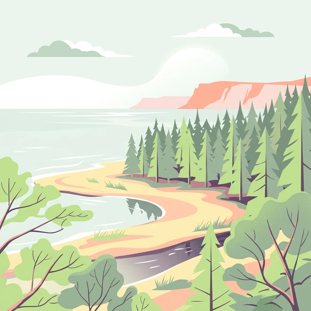
Stylized illustration of a coastal area featuring a sandy beach, forested shoreline, body of water, and distant cliffs under a light sky

Latvia's smallest national park protecting the Livonian Coast and Blue Hills at Cape Kolka

Slītere National Park

Slītere National Park occupies a geographically significant position at the northwestern edge of Latvia, where the Courland Peninsula extends into the Baltic Sea. The park's territory centers on Cape Kolka, a prominent headland that separates the Bay of Riga from the open Baltic Sea and marks the southern entrance to the Irbe Strait. This coastal setting has shaped both the park's natural character and its human history, as the Livonian Coast within the park boundaries has been inhabited by fishing communities for centuries. The park's landscape showcases a remarkable diversity of coastal and terrestrial environments. The Zilie Kalni (Blue Hills) rise as the park's most recognizable geological feature, their formation dating back to the era when they served as the ancient shoreline of the Baltic Ice Lake. The underlying geological history extends even further back, approximately 40 million years to a period when the region experienced subtropical climates, a legacy preserved in fossilized amber that continues to wash ashore after storms stir the seabed sediments. Beyond the Blue Hills, the park contains extensive dune systems characterized by the Latvian terms "kangari" (dunes) and "vigas" (inter-dune depressions), which create a complex wetland habitat with interspersed bogs. Approximately 30% of the park remains under coniferous forest cover, while the broader landscape supports a mosaic of wetlands, meadows, and coastal habitats. The small Irbe River traverses the park, its brown moor waters continuously reshaping the sandbanks at its estuary as it carries sediments toward the Baltic Sea. The park's significance extends beyond its natural features to encompass the cultural heritage of the Livonian Coast. Traditional fishing villages including Vaide, Saunags, Pitrags, Sīkrags, Mazirbe, Košrags, Kolka, and Uši dot the coastline, representing communities that have maintained Livonian identity and maritime traditions through generations.

Location
Latvia
Park type
National park
Established
2000
Area
164.1 km²
Slītere National Park Protected Landscape
1 guide

Compare focused publication themes to plan optimal seasonal travel timing

Published Guides And Visitor Timing Resources For Slītere National Park

This collection provides all currently published reference guides for Slītere National Park, focusing on visitor timing and seasonal environmental patterns. Readers can evaluate migration windows and temperature ranges to select the ideal period for exploring coastal dunes and forests.
MoriAtlas Explorer

Continue Exploring Slītere National Park's Geographic Context and Mapped Terrain

Deepen your understanding of Slītere National Park by navigating its specific geographic setting and protected landscape features. Examine its position within the broader Latvian geography and the Baltic region, utilizing our platform's structured atlas data to explore its unique terrain. Continue this journey to appreciate the full scope of this vital protected area and its mapped natural environment.