
Mori Atlas logo
Park guides

A curated collection of interpretive resources focused on coastal dune dynamics and seasonal patterns

Expert Guides and Regional Context for Slovincian National Park in Pomeranian Voivodeship

Access focused resources concerning the ecological significance and physical geography of Slovincian National Park. These guides provide essential information on seasonal variations for observing migratory bird corridors and navigating the shifting sand dunes of the Baltic coast.

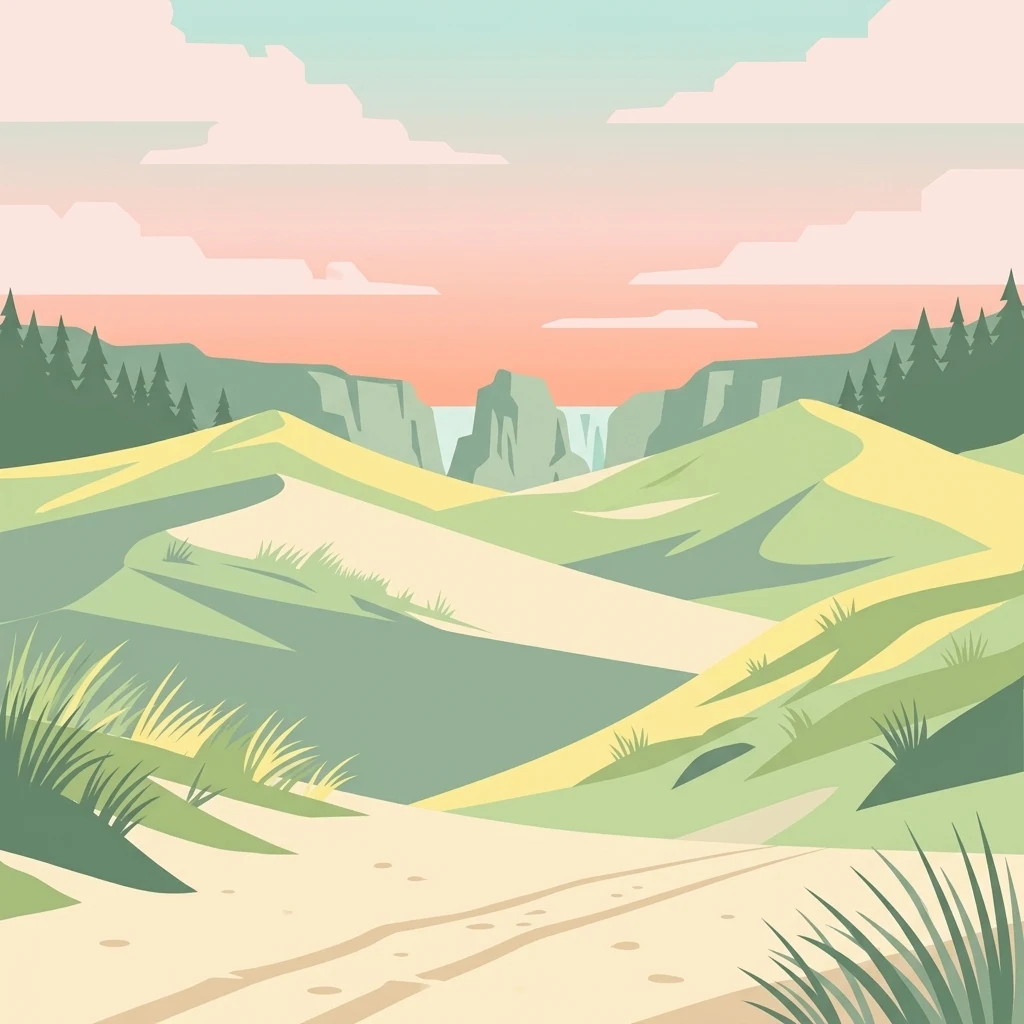
Illustrated sand dunes, grassy vegetation, a dirt path, and distant cliffs with a waterfall under a pink and blue sky.

Poland's moving dunes and coastal wetlands on the Baltic

Slovincian National Park

Slovincian National Park occupies a remarkable position along Poland's northern Baltic coast, protecting a landscape shaped by the interplay of wind, waves, and sand over millennia. The park's territory was historically a coastal bay of the Baltic Sea, but the gradual formation of sand bars and moving dunes separated these waters from the open sea, transforming them into the chain of coastal lakes that characterize the region today. This ongoing geological process continues to reshape the landscape, with dunes migrating inland at measurable rates and periodically exposing ancient forests buried beneath the sand for thousands of years. The park encompasses several distinct landscape zones: the coastal sandbar with its moving dunes, the Gardno-Łebska lowland with its shallow lakes and wetlands, and fragments of terminal moraine from the last glaciation. The largest lakes, Łebsko and Gardno, are shallow bodies of water with maximum depths of only 6.3 meters and 2.6 meters respectively, supporting extensive reed beds and aquatic vegetation. Seven rivers traverse the park, with the Łeba and Łupawa being the most significant, carrying water from the hinterland to the coastal lagoon system. Forests within the park are predominantly pine woodlands, covering approximately 80 percent of wooded areas, interspersed with peat bogs of various types. This combination of coastal dune, lake, wetland, and forest habitats creates a mosaic of environments supporting remarkable biodiversity. The park's strict protection zone covers over 53 square kilometers, preserving the most ecologically sensitive areas with limited human access.

Location
Poland
Park type
National park
Established
1967
Area
186.2 km²
Highest point
115 m
Slovincian National Park Protected Area
1 guide

Compare available reference materials to answer specific visitor questions.

Published Guides and Regional Insights for Slovincian National Park

Published reference guides provide detailed insights into seasonal timing, coastal wetlands, and moving across moving sand dunes. Each resource addresses specific questions regarding seasonal conditions and environmental planning within the protected landscape.
MoriAtlas Explorer

Continue Exploring Slovincian National Park's Unique Geography and Mapped Terrain

Dive deeper into the atlas of Slovincian National Park to understand its complex dune systems, coastal lakes, and protected wetlands. Use MoriAtlas to visualize the park's mapped boundaries and its place within the regional geography of Pomeranian Voivodeship. Discover the patterns of this dynamic landscape and its ecological significance for a comprehensive geographic overview.