Mori Atlas logo
Park earthquake history

Explore documented ground motion records associated by distance with this protected nature reserve.

Recorded Historical Seismic Activity and Earthquake Catalogue for Steilhänge der Saar

Access a structured collection of seismic events recorded within the proximity of Steilhänge der Saar. This catalogue provides transparent access to historical data including event magnitudes, focal depths, and epicentre coordinates as determined by geological survey archives. Information is curated to support regional geographic research, focusing on the historical frequency of seismic movement recorded in the landscape surrounding these Saarland valley slopes.

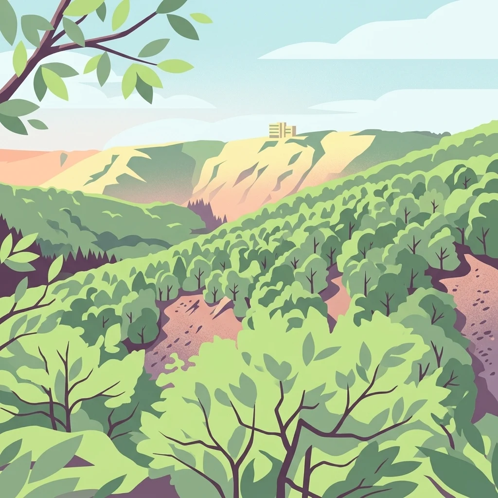
A stylized illustration showing a dense green forest on steep hillsides with a view towards a distant ridge line under a light blue sky.

A protected mosaic of Saar river slopes, dry forests, and stream valleys on the Saarland side of the German-Luxembourg border region.

Steilhänge der Saar

Steilhänge der Saar is a nature reserve (Naturschutzgebiet) in the Saarland state of southwestern Germany, designated since June 2017 to protect the steep slopes and forested valleys along the Saar river. The reserve covers roughly 10.86 square kilometres across the municipalities of Mettlach, Perl, and the town of Merzig in the Landkreis Merzig-Wadern, close to the border with Rhineland-Palatinate and near the famous Saarschleife. The protected area is largely coextensive with an EU Bird Directive (SPA) site and a Habitats Directive (FFH) site of the same name, giving it recognition under both national German nature conservation law and the European Natura 2000 network. It consolidates and replaces several older, smaller reserves in the area, including the former Saar-Steilhänge/Lutwinuswald, Steinbachtal westlich Saarschleife, and Hundscheiderbachtal designations. Its character is defined by the abrupt wooded hillsides that rise above the Saar and its tributary valleys, with notable stretches of old, dry, and rocky deciduous forest. These Saar slopes provide habitats for cliff, slope, and valley forest species, and sit alongside one of the most scenic river bends in Germany, the Saarschleife, making the area significant both ecologically and for the broader landscape identity of the region.

Location
Germany
Park type
Nature reserve
Established
2017
Area
10.9 km²
Steilhänge der Saar Nature Reserve

Navigate Steilhänge der Saar event data by distance

Study recorded historical earthquakes around Steilhänge der Saar

Earthquakes around Steilhänge der Saar are associated with the protected slopes by mapped epicentres and calculated distance, not proof that events occurred within them. Study dates, magnitudes, depths, locality descriptions, distance figures, and sources without attributing seismic causes to river or slope features, evaluating current hazard, or anticipating later activity.

Sort by
Magnitude
Location

This page describes catalogued earthquakes associated with the park by epicentre location and distance. It does not establish causation, assess current danger, or predict future earthquakes.

No earthquake records match the current filters

Park atlas

Continue from Steilhänge der Saar earthquake data

Explore more protected places beyond Steilhänge der Saar

The following destinations open a broader route beyond its river slopes, dry forests, and stream valleys. They are not grouped by Saarland geography, habitat, geology, seismic conditions, hazard, or supporting-source depth.
A horizontal watercolor painting of a wetland scene with still water, grassy banks, small islands, and rolling hills in the background.
Nature reserveSchengen
9.4 km away#1 closest

West

Haff Réimech Nature Reserve: Wetland Geography and Protected Landscape in Schengen

Reclaimed industrial wetlands in the Moselle river valley

Haff Réimech is a protected wetland sanctuary located in the Moselle valley near Schengen. The reserve features approximately forty shallow lakes created from former sand and gravel pits, now surrounded by reedbeds and riparian woodland. This mosaic landscape serves as a key site for migratory bird species, demonstrating a unique transition from industrial extraction to a managed, ecologically rich floodplain environment.

Area
1.008 km²
Established
1998
Relief
Lowland
Climate
Temperate
Nature reserveRhineland-Palatinate
About 15 km away#2 closest

North

Wiltinger Saarbogen: Mapping the Natural Saar River Meander and Floodplain Habitats

A critical protected nature reserve in the Rhineland-Palatinate river landscape.

Wiltinger Saarbogen remains a rare, natural river arc within the Saar valley. This protected area offers a deep look into riverine geography, featuring a concentrated mosaic of gravel banks, reed-fringed wetlands, and riparian forests that stand in contrast to the engineered shipping canals of the region.

Area
1.67 km²
Established
1997
Nature reserveRheinland-Pfalz
About 16 km away#3 closest

Northwest

Langheck bei Nittel Nature Reserve: A Detailed Atlas of Protected Moselle Landscapes

Ecological geography and calcareous grassland habitat in Rheinland-Pfalz

Langheck bei Nittel is a significant nature reserve located in the Upper Moselle valley of Germany. The site protects a rare mosaic of calcareous dry grasslands, shrubbery, and forest edges that host a high concentration of orchid species. As a critical component of the regional biotope network, it offers insight into the conservation of warm-loving flora and the management of stony, nutrient-poor landscapes.

Area
0.42 km²
Established
1998
Watercolor painting of a tranquil lake surrounded by soft green trees, grassy banks, and rolling hills in the background under a pale sky.
Protected areaSaarland
About 17 km away#4 closest

Southeast

Dillinger See Protected Area: Saarland Floodplain Geography and Bird Sanctuary Map

Mapping wetland habitats and ecological terrain in Saarland

Dillinger See is a protected ecological lake situated within the Saar River floodplain in Saarland. This area serves as a sanctuary for diverse avian species, with its landscape defined by reed belts and restored island habitats. Learn about the geographic significance of this site as an EU bird protection area and its role in regional flood management.

Area
0.8 km²
Established
1980
Relief
Lowland
Access
Easy access
Watercolor painting of a rolling green forest landscape with a winding path and soft, abstract hills in the background.
Nature reserveRhineland-Palatinate
18 km away#5 closest

North

Mattheiser Wald Nature Reserve: A Protected Forest Landscape in Rhineland-Palatinate

Ecological mapping of urban forest and valley terrain

Mattheiser Wald represents a vital nature reserve and Natura 2000 site in the Trier region. The area is characterized by high-value oak and hornbeam woodland, abandoned military disturbance zones that host rare wildlife, and an intricate stream valley system. This atlas entry provides a detailed look at the reserve's topography and its status as a critical conservation landscape within an urban environment.

Area
4.47 km²
Established
2003
Relief
Upland
Climate
Temperate
Nature reserveSaarland
18 km away#6 closest

East

Wadrilltal Nature Reserve: Geographic Context and Mapped Protected Landscapes in Saarland

A protected stream valley habitat in the Hochwald region of Germany.

Wadrilltal represents a crucial nature reserve that shelters a near-natural stream valley system within the Saarland municipality of Wadern. The area preserves a structural diversity of wet meadows, montane mat-grass swards, and floodplain forests that form part of the Natura 2000 network. Gain geographic insight into the valley's slopes and river corridor, which extend across state boundaries to maintain significant regional biodiversity.

Area
1.67 km²
Established
2016
Scope
Terrestrial
Water
Major water bodies
Nature reserveSaarland
19 km away#7 closest

East

Wiesenlandschaft bei Überroth: Nature Reserve Geography and Mapped Meadow Habitats

Essential protected land analysis in the Saarland region of Germany

Wiesenlandschaft bei Überroth functions as a core protected area for species-rich meadows in southwestern Germany. This detailed entry maps its two-part configuration and explains its role within the regional Saarland habitat network, providing a clear geographic perspective on its conservation status and semi-natural terrain characteristics.

Area
2.87 km²
Established
2015
IUCN
IV
Relief
Lowland
Watercolor painting of a green, rolling hillside landscape with faint pink floral details in the foreground.
Nature reserveRheinland-Pfalz
About 19 km away#8 closest

North

Perfeist bei Wasserliesch: Protected Grassland and Botanical Mapping in Rheinland-Pfalz

A regional sanctuary for rare orchids and calcareous meadow flora.

Perfeist bei Wasserliesch represents a significant protected area within the German Moselle landscape. Spanning 22 hectares of dry, sun-exposed calcareous soil on the Liescher Berg, the reserve offers a focused look at open grassland ecology. Its unique status as a botanical reference point highlights how small-scale protected land maintains rare plant species and fragile meadow habitats against the backdrop of the surrounding Moselle valley hill country.

Area
0.22 km²
Established
1986
MoriAtlas Explorer

Explore the Protected Geography of Steilhänge der Saar Nature Reserve

Deepen your understanding of the Steilhänge der Saar nature reserve by examining its unique river valley terrain and mapped protected boundaries. MoriAtlas provides detailed insight into how this consolidated area supports regional ecological health and preserves the distinctive landscape character of Saarland.

Global natural geography