
Understanding the geological architecture and relief patterns of central island volcanic massifs
Comprehensive Mapping of Massif and Mountain Terrain Units within Teide National Park
This geographic record documents the coherent mountain masses and crustal blocks defining the landscape of Teide National Park. By examining these concentrated high relief units, researchers and observers can analyze the spatial distribution, topographical boundaries, and geological unity that characterize the volcanic terrain. The collection highlights how distinct massifs intersect with the Las Cañadas caldera basin and influence the structural composition of this protected island environment.
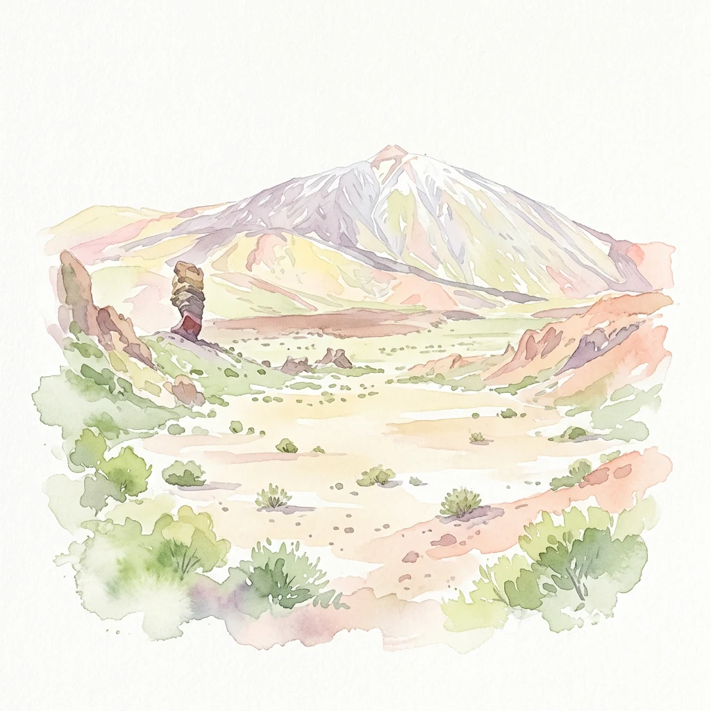
Navigating the high-relief mountain masses and structured terrain of Tenerife's central caldera
Discovering Massif Formations and Volcanic Highlands in Teide National Park
Map resources outline the distinct Massif formations and elevated crustal units associated with the volcanic landscape of Teide National Park. Comparing high-relief formations highlights the tectonic history of the Las Cañadas caldera and explains how physical elevations organize Tenerife's unique alpine ecosystems.
No natural features found
Compare distinct geological classifications and ecological zones across the volcanic reserve.
Exploring Diverse Natural Landscape Features of Teide National Park Beyond the Massif
Topographic map of volcanic summits in the Canary Islands
Peaks
An inventory of named peaks and high elevation summits found across the volcanic terrain of Teide National Park. This resource details significant mountain features and topographic high points to support your understanding of the central caldera landscape and regional relief in Spain.
Geographic catalog of volcanic structures and peaks.
Volcanoes
Teide National Park contains a significant concentration of volcanic landforms, including massive stratovolcanoes, calderas, and smaller eruptive vents. This collection highlights the diverse structural types present within the park boundaries, offering a focused look at the features that form the backbone of this unique volcanic landscape in Spain.
Geographic inventory of steep volcanic rock faces and terrain breaks
Cliffs
Review the specific cliff formations found within the volcanic caldera of Teide National Park. This geographic record focuses on the spatial context of these steep rock faces as they intersect with local lava flows, caldera walls, and mountain terrain throughout this protected landscape.
Geographic analysis of park watercourses
Streams
Discover identified stream channels and flowing watercourses situated within Teide National Park. The collection highlights the specific hydrological pathways that intersect the volcanic geology of the Las Cañadas caldera and its surrounding mountain flanks.
Explore the Geological Landmarks and Volcanic Terrain of Teide National Park
Trace the physical landscape of Teide National Park by browsing its catalog of named natural features. MoriAtlas facilitates a deeper look into the caldera formations and highland summits that characterize this protected region, helping users understand the distribution and variety of its distinct volcanic terrain.