
Mori Atlas logo
Park guides

Insights into the geological rift valley and the historic parliamentary assembly grounds

Expertly Curated Guides for Exploring Þingvellir National Park in Southern Iceland

Access a specialized collection of resources focused on the unique environment of Þingvellir National Park. These guides provide essential information on the park's geological significance at the North American and Eurasian tectonic plate boundary, along with its cultural heritage as the site of the ancient Althing parliament. Gain perspective on visiting the rift valley and its surrounding natural landscape throughout the changing seasons.

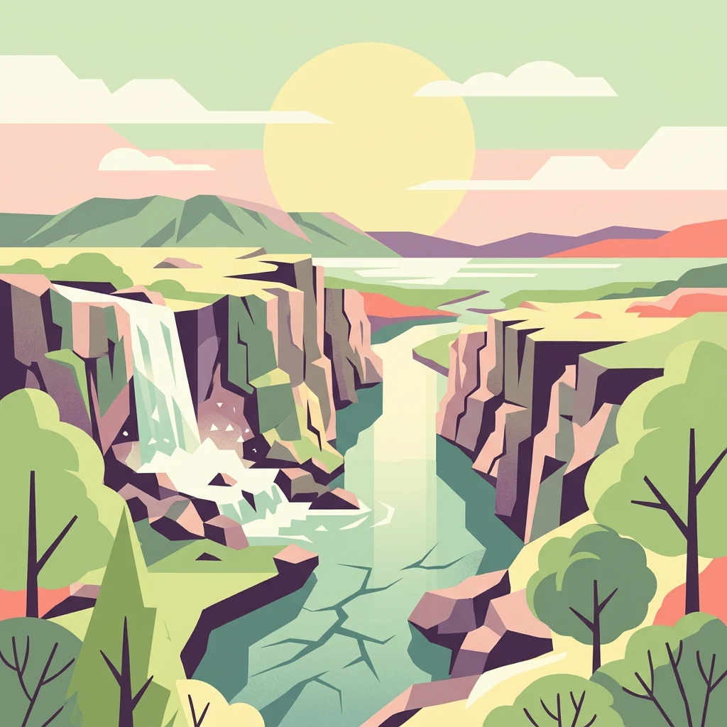
Stylized illustration showing a river canyon with a waterfall, cliffs, mountains, and trees under a bright sun

Iceland's ancient parliament site on the Mid-Atlantic Ridge

Þingvellir National Park

Þingvellir National Park represents a rare convergence of natural and cultural heritage that few places on Earth can match. The park's fundamental identity stems from its position atop the Mid-Atlantic Ridge, where the gradual separation of tectonic plates has created a landscape of remarkable geological drama. The Almannagjá gorge, the park's most prominent geological feature, forms a vivid boundary between the continental plates and can be traversed on foot, allowing visitors to cross from one tectonic plate to another in minutes. The historical significance of Þingvellir is deeply embedded in the formation of the Icelandic nation. When the Althing was established here in 930, it created one of the world's earliest parliamentary institutions, predating most similar democratic assemblies by centuries. The annual gathering drew people from across Iceland, transforming this remote valley into a vibrant social and political center for two weeks each summer. Temporary settlements of turf and stone housed thousands of attendees, creating what was essentially Iceland's largest annual event—a tradition that continued for over eight centuries. Beyond its parliamentary heritage, Þingvellir has served as a powerful symbol of Icelandic national identity through the centuries. During the 19th century independence movement, the site became a focal point for nationalist sentiment, representing Iceland's historical sovereignty and cultural continuity. In 1944, Iceland declared independence from Denmark at Þingvellir, symbolically linking the modern nation-state to the ancient parliamentary traditions established at this site. Today, the park remains a sacred space for Icelanders, embodying the enduring connection between landscape, history, and national identity.

Location
Iceland
Park type
National park
Established
1930
Area
92.7 km²
Þingvellir National Park Protected Landscape
1 guide

Compare focused visitor guides and seasonal planning references for tectonic landscapes

Published Guides and Thematic Resources for Þingvellir National Park

Explore the complete collection of published guides dedicated to Þingvellir National Park and its distinct tectonic geography. Compare available seasonal themes covering summer daylight conditions, shoulder weather balances, and winter travel preparation to match specific planning questions.
MoriAtlas Explorer

Continue Exploring Þingvellir National Park's Unique Geographic and Historical Atlas

Delve deeper into the mapped context of Þingvellir National Park, a protected landscape of immense geological and historical significance within Iceland's Southern Region. Understanding its position on the Mid-Atlantic Ridge and its role as the Althing's ancient seat provides vital geographic insights. Continue your atlas exploration to grasp the full scope of this extraordinary protected area and its relationship to the surrounding regional geography.