Why Uluru-Kata Tjuta National Park stands out
Uluru-Kata Tjuta is best known for its dramatic contrast between the ancient red sandstone formations and the stark desert environment that surrounds them. The park is renowned for the extraordinary cultural significance of both Uluru and Kata Tjuta to the Anangu people, who view these formations as living evidence of their ancestral beings and creation events from the Dreamtime. The site is also famous for the collaborative management arrangement between Indigenous traditional owners and federal park managers, a model that has influenced protected area governance globally. Additionally, the park is celebrated for its surprising biodiversity in an arid environment, supporting numerous plant and animal species that have evolved remarkable adaptations to survive extreme conditions.
Uluru-Kata Tjuta National Park history and protected-area timeline
The geological formations of Uluru and Kata Tjuta were created approximately 350 million years ago during the Alice Springs Orogeny, when tectonic movements uplifted and folded ancient seabed sediments into the iconic shapes seen today. The Anangu people have occupied this region for tens of thousands of years, with archaeological evidence suggesting continuous habitation for more than 10,000 years. European explorers first sighted the formations in the 1870s, with William Ernest Powell Giles discovering Kata Tjuta in 1872 and William Christie Gosse naming Uluru as Ayers Rock in 1873. The area was declared an Aboriginal Reserve in 1920 under the Aboriginals Ordinance 1918, providing some protection for the traditional owners. In 1950, the Ayers Rock National Park was officially recognized, and in 1958, Kata Tjuta was added to create the Ayers Rock-Mount Olga National Park. The pivotal moment came in 1985 when the traditional owners were granted freehold title to the land under the Aboriginal Land Rights Act and, importantly, chose to lease it back to the Australian Government for 99 years, ensuring continued public access while maintaining Indigenous authority. In 2015, traditional owners declared an Indigenous Protected Area covering more than 50,000 square kilometres surrounding the national park, creating the Katiti Petermann Indigenous Protected Area.
Uluru-Kata Tjuta National Park landscape and geographic character
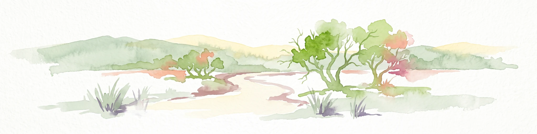
The landscape of Uluru-Kata Tjuta National Park presents a dramatic tableau of central Australian desert terrain dominated by two extraordinary geological formations. Uluru, composed primarily of arkose sandstone, rises 348 metres above the plain with most of its bulk hidden below ground, forming one of the world’s largest monoliths. Its surface bears the marks of millions of years of erosion, with deep crevices, caves, and ancient rock art galleries carved by water and wind. Kata Tjuta, situated 40 kilometres to the west, consists of 36 conglomerate rock domes made from cobbles and boulders of various rock types including granite and basalt, cemented together by sandstone matrix. The surrounding desert plain features red sand dunes, sparse vegetation, and occasional dry river beds that only flow during the brief wet season. Despite the harsh appearance, the park contains important drainage lines and dune systems that support specialised plant communities. The contrast between the weathered rock formations and the flat, iron-stained desert creates one of Australia’s most photographed and instantly recognisable landscapes.
Uluru-Kata Tjuta National Park ecosystems, habitats, and plant life
Despite its arid appearance, Uluru-Kata Tjuta National Park supports a remarkably diverse ecosystem that ranks among the world’s most significant arid land environments. The park is designated as a Biosphere Reserve under the UNESCO Man and the Biosphere Program, recognizing its ecological importance. Vegetation is organised into distinct categories recognised by Anangu: punu (trees), puti (shrubs), tjulpun-tjulpunpa (flowers), and ukiri (grasses). The vegetation communities include river red gum woodlands along drainage lines, mulga shrublands on the plains, spinifex grasslands on the sandplains, and specialised plant communities in the moist areas at the base of the monoliths. Many plant species have evolved remarkable adaptations to survive the extreme temperatures and unpredictable rainfall, with some species dependent on fire for reproduction. The park contains several rare and endemic plant species, some restricted to the moist microhabitats at the base of Uluru and Kata Tjuta. However, invasive plant species, particularly perennial buffel grass introduced for erosion rehabilitation, now threaten native vegetation communities.
Uluru-Kata Tjuta National Park wildlife and species highlights
The wildlife of Uluru-Kata Tjuta National Park demonstrates extraordinary adaptation to the harsh desert environment, with 21 native mammal species, 73 reptile species, and numerous bird and invertebrate species recorded. The park supports populations of iconic Australian animals including red kangaroos, emus, and various marsupials such as the endangered black-footed rock wallaby. The mulgara, listed as vulnerable, inhabits the transitional sandplain area along with the marsupial mole and great desert skink. Bat species roost in the caves and crevices of the monoliths, foraging close to the rock faces. However, since European settlement, 46 historically recorded mammal species have declined to just 21, withIntroduced predators including cats and foxes, along with herbivores like rabbits and camels, placing significant pressure on native fauna. Anangu continue traditional hunting practices in remote areas, targeting red kangaroos, Australian bustards, emus, and lizards such as the perentie. Conservation efforts include programs to reintroduce locally extinct species and control invasive animals.
Uluru-Kata Tjuta National Park conservation status and protection priorities
Uluru-Kata Tjuta National Park holds global conservation significance as one of Australia’s premier protected areas and a model of Indigenous co-management. The park’s dual World Heritage inscription recognises both its outstanding natural values and its irreplaceable cultural landscape. Joint management between Anangu traditional owners and Parks Australia integrates Indigenous knowledge and land management practices, particularly cultural burning techniques that help maintain ecological balance and reduce wildfire risks. The establishment of the surrounding Katiti Petermann Indigenous Protected Area in 2015 created a massive conservation network of over 50,000 square kilometres, the fourth largest Indigenous Protected Area on the Australian mainland. However, significant conservation challenges remain, including controlling invasive species such as rabbits, buffel grass, camels, cats, and foxes that threaten native ecosystems. The park’s vegetation and wildlife face pressures from tourism, climate change, and the need to balance visitor access with cultural and environmental protection.
Uluru-Kata Tjuta National Park cultural meaning and human context
Uluru-Kata Tjuta National Park is fundamentally a cultural landscape where the natural environment and Indigenous heritage are inseparable. For the Anangu people, Uluru and Kata Tjuta are not merely physical features but living manifestations of ancestral beings from the Dreamtime, the creation period when their cultural law and knowledge were established. The Tjukurpa (also known as Dreamtime) encompasses the stories, laws, and philosophies that govern Anangu life and their relationship with country. Both Uluru and Kata Tjuta contain numerous sacred sites associated with different ancestral beings and creation events, with Kata Tjuta being considered particularly powerful and dangerous, restricted to initiated men only. Traditional owners lead cultural walks sharing knowledge of local flora and fauna, bush foods, and Dreamtime stories, providing visitors with deep insights into one of the world’s oldest continuous cultures. The park’s cultural centre, designed by architect Gregory Burgess, provides comprehensive information about Tjukurpa, Anangu art, and the joint management approach.
Top sights and standout views in Uluru-Kata Tjuta National Park
The park offers several compelling reasons for visitation: the chance to witness Uluru and Kata Tjuta at sunrise and sunset when their colours transform dramatically, the opportunity to walk around the base of Uluru on the Base Walk to discover rock art and sacred sites, exploration of the Valley of the Winds walk at Kata Tjuta for panoramic views, and engagement with Anangu culture through guided tours and the Cultural Centre. The park’s status as Australia’s only dual World Heritage Site for both natural and cultural values represents a unique achievement in global conservation. The joint management model, where Indigenous traditional owners and government agencies collaborate as equal partners, has become internationally recognised as best practice in protected area governance. Visitors can also explore the Walkatjara Art Centre to purchase authentic Aboriginal art directly from local artists.
Best time to visit Uluru-Kata Tjuta National Park
Uluru-Kata Tjuta National Park can be visited year-round, though the cooler months from May to September generally offer more comfortable conditions for outdoor activities. Summer temperatures frequently exceed 40°C, making midday walks dangerous and increasing the risk of bushfire, while winter nights can drop below freezing. The Anangu calendar identifies six distinct seasons based on environmental conditions and food availability, each offering different landscape character. The brief wet season from January to February brings sporadic storms that can transform the desert with temporary wildflower displays, though heavy rains may close some walking tracks. March and April see cooler weather with clearer skies, while the period from August to October offers pleasant temperatures and the chance to witness breeding activity among wildlife. Regardless of season, visitors should avoid climbing Uluru out of respect for its profound cultural significance to the Anangu people, with the climb permanently closed since October 2019.