
Why Unteres Remstal mit Randgebieten stands out
Unteres Remstal mit Randgebieten is best known as a buffer and complement to the core Unteres Remstal nature reserve, wrapping the protected river-valley habitats in a broader landscape protection zone. It sits almost entirely within the Unteres Remstal EU Bird Protection Area (SPA 7121-442), giving the designation strong ornithological significance alongside its landscape-conservation role. The area is also characterized by its traditional orchard meadow (Streuobstwiese) culture, its gently sloping Gleithang (slip-off slope) features, and the visually distinctive transition between the Rems valley floor and the adjacent Gäu plateau above.
Unteres Remstal mit Randgebieten history and protected-area timeline
The protected landscape was established on 6 April 1987 by decree of the Regierungspräsidium Stuttgart acting as the higher nature conservation authority. With the entry into force of this decree, parts of earlier landscape protection orders, namely the "Unteres Remstal" order of the Waiblingen district office dated 4 November 1968 and the "Unteres Remstal" order of the Ludwigsburg district office dated 21 July 1967, were superseded. The 1987 decree thus unified two prior local-level protections into one coherent valley-wide landscape protection area spanning both counties.
This consolidation reflected a broader shift in German conservation administration during the late twentieth century, where smaller, fragmented landscape protection orders issued by individual county authorities were progressively replaced by higher-authority decrees to ensure consistent management across administrative boundaries. Since 1987 the area has been administered centrally through the Regierungspräsidium Stuttgart, with the formal designation codes 1.18.008 (Ludwigsburg) and 1.19.012 (Rems-Murr-Kreis).
Unteres Remstal mit Randgebieten landscape and geographic character
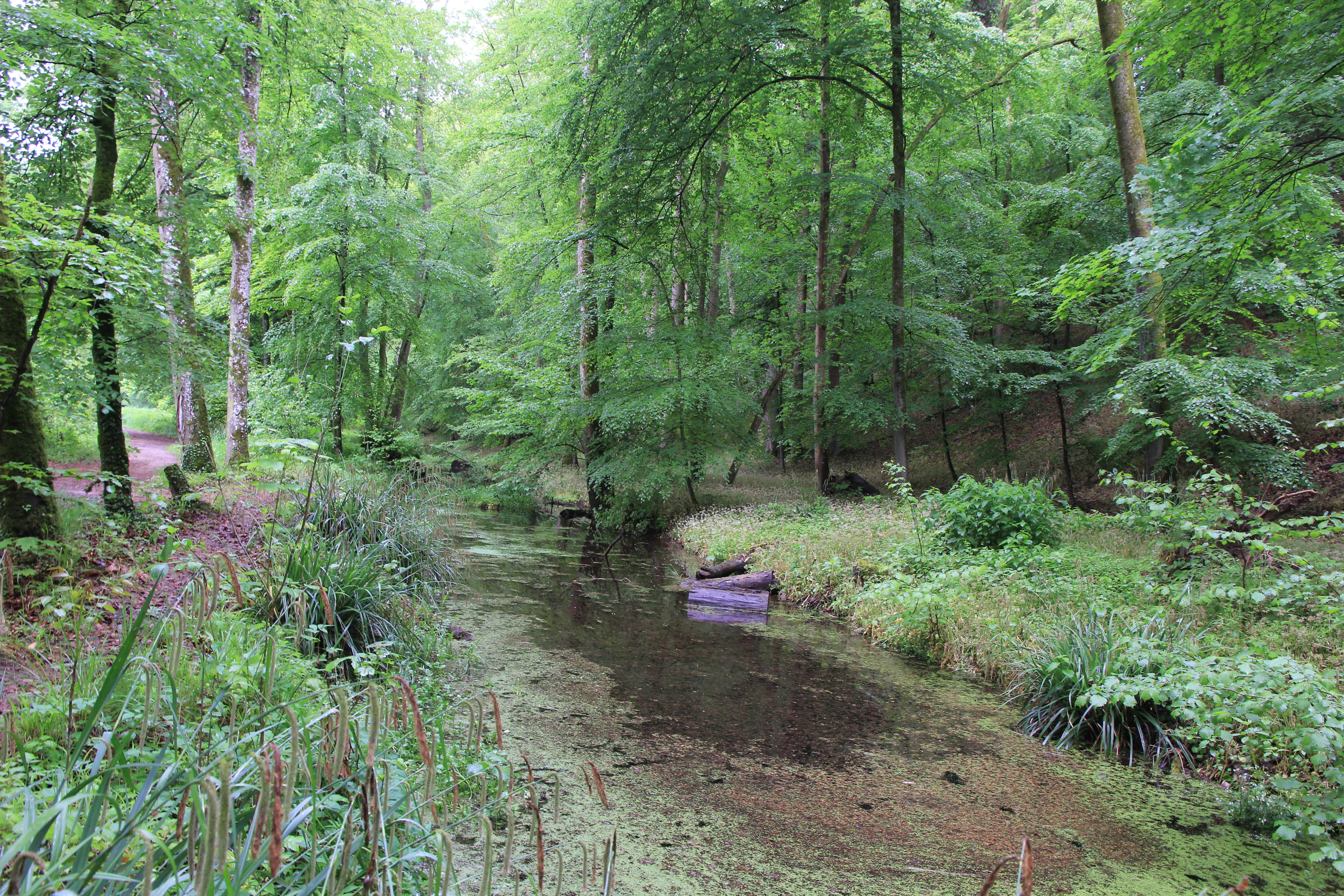
The protected area is shaped primarily by the valley of the lower Rems, including both the river itself and the flanking slopes and adjacent plateau margins that form the visual envelope of the valley. The valley floor follows a generally west-to-east course before opening toward the Neckar at Remseck. Along the margins, gently inclined slip-off slopes (Gleithangbereiche) create a transitional relief between the flat valley floor and the rising Gäu plateau above.
These slope-edge landscapes are characterized by a blend of traditional orchard meadows, small arable plots, garden plots (Gartennutzung), scrubby wastelands, hedgerows, and patches of semi-dry grassland-like plant communities. The transition from valley to plateau is described as morphologically linking the lower-lying steep slopes (Steilhänge) with the higher plateaus, contributing significantly to the scenic quality of the entire Rems valley landscape.
The valley itself lies within the wider Neckar basin landscape of central Baden-Württemberg, a region defined by agricultural plateaus, deeply cut river valleys, and a dense network of small towns and villages. Within this regional setting, the protected area preserves a particularly representative slice of the cultural landscape mosaic that historically characterized the lower Rems before suburban expansion.
Unteres Remstal mit Randgebieten ecosystems, habitats, and plant life
Ecologically, the protected landscape is defined less by wilderness and more by the careful balance between traditional low-intensity land use and the habitats that have developed around it. Orchard meadows (Streuobstwiesen) are among the most characteristic habitat types, hosting a notably diverse range of plant and animal species due to their combination of old fruit trees, extensively managed grassland, and structurally diverse edges.
Scrub communities, hedgerows, and undeveloped wasteland patches (Ödlandflächen) that have escaped intensive cultivation add further habitat complexity, often developing into or resembling semi-dry grassland (Halbtrockenrasen) vegetation. These habitats provide breeding sites, foraging grounds, and shelter for many bird and insect species associated with traditional Central European farmland landscapes.
The valley's location between agricultural land, settlement areas, and transport infrastructure also gives the protected area an important buffer-zone function. By absorbing anthropogenic pressures at the landscape periphery and limiting intensification of land use, the designation helps maintain habitat connectivity between the core nature reserve and the broader surrounding countryside.
Unteres Remstal mit Randgebieten wildlife and species highlights
The wildlife value of the area is tied closely to its inclusion in the EU Bird Protection Area Unteres Remstal (7121-442), which extends almost entirely over the landscape protection zone. This means that the diverse mosaic of orchard meadows, hedgerows, scrub, grasslands, and river-influenced habitats supports bird communities typical of traditional valley landscapes in southwestern Germany, including species associated with open farmland, scattered trees, and water-edge habitats.
The partially overlapping FFH (Habitats Directive) site Unteres Remstal und Backnanger Bucht (7121-341) adds a further layer of conservation significance for habitats and species protected under European Union nature law. The combination of LSG, SPA, and FFH designations reflects the area's role in maintaining both bird populations and broader habitat types across the Rems valley's transition zones.
Unteres Remstal mit Randgebieten conservation status and protection priorities
The conservation purpose of the landscape protection area, as set out in its official decree, focuses on four main objectives. First, it secures the ecologically necessary buffer zone between the protected nature reserve and the surrounding intensively used farmland, settlements, and transport routes. Second, it preserves the large slip-off slope areas with their characteristic blend of arable, grassland, and garden use.
Third, it protects the ecologically valuable orchard meadows (Streuobstwiesen) with their diverse species composition, as well as the undeveloped wasteland areas that have developed into scrub formations, hedgerows, or semi-dry grassland-like plant communities. Fourth, it safeguards the outer slope transitions that define the scenic character of the valley landscape and that morphologically link the lower slopes to the steeper hillsides and the Gäu plateau beyond.
The area's significance is further reinforced by its almost complete coverage by the Unteres Remstal EU Bird Protection Area and partial overlap with the Unteres Remstal und Backnanger Bucht FFH area. This layered system of landscape, bird, and habitat protection makes it a key component of the broader ecological network in the Stuttgart metropolitan region.
Unteres Remstal mit Randgebieten cultural meaning and human context
The protected area encapsulates a culturally important slice of the traditional Rems valley landscape, where small-scale farming, orchard cultivation, and village-based land use have shaped the scenery for centuries. Streuobstwiesen, extensively managed meadow orchards with scattered fruit trees, are an emblematic feature of this regional cultural landscape in southwestern Germany and remain a defining visual and ecological element of the area.
Although the protected landscape is primarily a conservation designation rather than a cultural-heritage designation, its protection of orchard meadows, hedgerows, and traditional slope-edge land use inherently supports the preservation of long-standing regional land-use practices and the visual identity of the lower Rems valley.
Top sights and standout views in Unteres Remstal mit Randgebieten
Among the protected landscape's most notable features are the extensive Streuobstwiesen orchards along the valley margins, which double as both a cultural heritage element and a high-value habitat for diverse flora and fauna. The slip-off slopes and the transitional relief between valley floor and Gäu plateau give the area a distinct scenic character that has been deliberately protected as part of the overall valley landscape.
The fact that the area is nested within an EU Bird Protection Area and partially overlaps with a European Habitats Directive site elevates it from a simple regional landscape protection area into a component of the European Union's wider nature conservation network. Its administrative position, spanning two counties under a single 1987 decree, also makes it an early and noteworthy example of cross-county landscape protection in the Stuttgart region.