Mori Atlas logo
Park earthquake history

A structured repository of recorded seismic activity mapped by proximity to Val de Tardoire

Val de Tardoire Historical Seismic Record: Catalogued Earthquakes in the Charente Valley

Access a detailed catalogue of recorded seismic events that occurred within the geographic vicinity of the Val de Tardoire Natura 2000 site. The collection organizes historical data points including event dates, magnitudes, and focal depths, all associated with the site based on calculated epicentre distance. This record offers a clear view of regional seismic history within the Charente river valley without implying current site hazard or future activity.

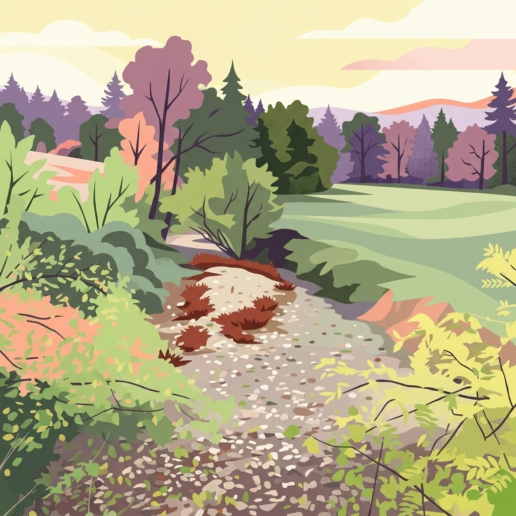
Digital illustration of a rocky trail leading through a vibrant landscape with trees, shrubs, and rolling hills under a soft sky.

A Natura 2000 river valley protecting unusual geomorphology, wet meadows, and rich biodiversity in eastern Charente.

Val de Tardoire

Val de Tardoire is a Natura 2000 Site of Community Importance situated in the eastern part of the Charente department in southwestern France, within the Nouvelle-Aquitaine region. It follows the valley of the Tardoire, a tributary of the Bonnieure and thus a left-bank sub-tributary of the Charente river, and protects about 3,149 hectares of landscape along this watercourse. The site's defining value lies in its combination of unusual geomorphological features, including rocky escarpments and a fast-flowing river, together with a diverse mosaic of wet meadows, broadleaf forest, heath, and small orchard habitats. The valley shelters a high density of protected habitats and species of European interest. These include species-rich lowland hay meadows, Ranunculion and Callitricho-Batrachion river vegetation, siliceous chasmophytic rock slopes, alluvial alder-ash forests, and unused caves. Equally significant is the fauna: several horseshoe bat species, the yellow-bellied toad, alluvial lampreys and bullheads, saproxylic beetles such as the stag beetle and great capricorn beetle, and rare dragonflies and butterflies whose populations depend on the quality of the valley's grasslands, woodlands, and waterways.

Location
France
Park type
Nature reserve
Established
1999
Area
31.5 km²
Highest point
213 m
Explore Val de Tardoire Nature Reserve Geography

Compare reported epicentres across upland cliffs, forest, wetlands, rivers and caves

Investigate earthquake records around Val de Tardoire

Review earthquake reports around Val de Tardoire, officially Vallée de la Tardoire, a 31.49 km² terrestrial upland reserve with major water across cliffs, forest, wetlands, rivers and caves; search reported time, magnitude, depth, locality and boundary distance. Proximity does not confirm reserve occurrence, cave or river effects, present hazard, seismic cause or future activity.

Sort by
Magnitude
Location

This page describes catalogued earthquakes associated with the park by epicentre location and distance. It does not establish causation, assess current danger, or predict future earthquakes.

No earthquake records match the current filters

Park atlas

Continue beyond Val de Tardoire earthquake history

Explore other parks and protected areas after Val de Tardoire

Use the discovery cards after Val de Tardoire's earthquake history to move beyond Vallée de la Tardoire; the 31.49 km² terrestrial upland reserve in France has major waters, cliffs, forest, wetlands, rivers, caves, and karst context. The following destinations are not presented as landscape twins, nearby reserves, seismic comparisons, or equivalent cases for evidence, hazard, and risk.
Nature reserveNouvelle-Aquitaine
Mapped location lies within the park boundary#1 closest

North

Réserve naturelle régionale de la vallée de la Renaudie Protected Landscape and Map Atlas

A geological crossroads in the heart of Nouvelle-Aquitaine.

Trace the 6 kilometer stretch of the Réserve naturelle régionale de la vallée de la Renaudie. This protected area showcases an unusual geological interface between limestone and granite, creating a compact mosaic of riparian woodland, dry rocky cliffs, and meadows that support significant regional biodiversity.

Area
0.73 km²
Established
2012
IUCN
IV
Relief
Mixed relief
Nature reserveNouvelle-Aquitaine
18 km away#2 closest

Southwest

Vallée de la Nizonne Nature Reserve: Mapped Geography and Protected Wetland Landscapes

A critical river corridor and Natura 2000 conservation zone in Nouvelle-Aquitaine.

Discover the geographic structure of the Vallée de la Nizonne, a protected area shaped by the flow of the Nizonne and Lizonne rivers. This landscape mosaic features peatlands, wet meadows, and alluvial forests that serve as a refuge for rare species. Gain insight into the regional terrain and conservation boundaries that define this important French wetland corridor.

Area
33.91 km²
Established
2016
Relief
Upland
Climate
Temperate
Protected areaNouvelle-Aquitaine
31 km away#3 closest

Southwest

Vallée de la Tude Protected Area: Regional Geography and Alluvial Landscape Map

Exploring the river valley networks of Nouvelle-Aquitaine

The Vallée de la Tude is a significant protected area located in the Charente department of southwestern France. This site features a series of wet meadows, lowland brooks, and woodland fragments that form an essential ecological network. Our atlas entry provides a detailed look at the geographic distribution and landscape composition of this unique alluvial valley.

Area
15.57 km²
Established
2006
Relief
Upland
Climate
Temperate
Nature reserveNouvelle-Aquitaine
About 32 km away#4 closest

East

Réserve naturelle régionale du réseau de landes atlantiques du Parc naturel régional Périgord-Limousin

A networked regional nature reserve in Nouvelle-Aquitaine.

This protected area serves as a critical network of Atlantic heathland sites embedded within the larger Périgord-Limousin Regional Natural Park. By conserving these scattered clearings of acidic soil and low vegetation, the reserve maintains a distinct biogeographic feature far from the French coast, offering a clear view into how regional authorities manage fragmented open habitats in the Haute-Vienne.

Area
0.409 km²
Established
2015
IUCN
IV
Scope
Terrestrial
Nature reserveNouvelle-Aquitaine
55 km away#5 closest

West

Vallée de l'Antenne: A Protected River Valley and Alluvial Landscape in Nouvelle-Aquitaine

Mapping riparian ecosystems and rare wetland habitats

Trace the course of the Antenne river as it meanders through a finely textured mosaic of ash and alder forests, poplar plantations, and floodplains. As a designated Natura 2000 site, this nature reserve acts as a critical refuge for biodiversity in western France, offering a textbook example of a low-energy river system that descends gently through the landscape of the Charente departments.

Area
12.08 km²
Established
1999
Relief
Lowland
Climate
Mediterranean
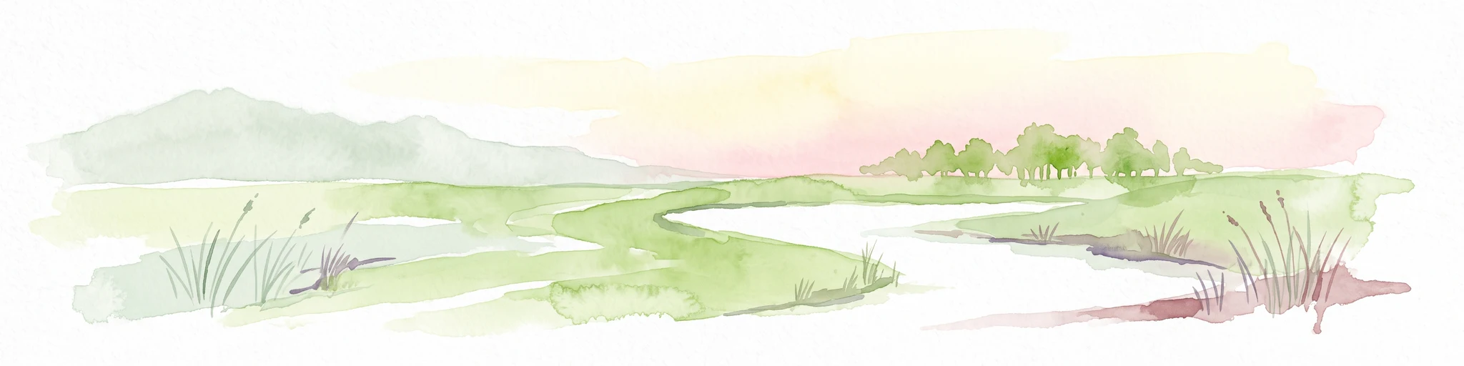
A soft watercolor painting of a wide, gently rolling landscape with green fields, forested hills in the distance, and native vegetation in the foreground.
Nature reserveHaute-Vienne
About 66 km away#6 closest

East

Lande de la Flotte et du Cluzeau: Geological Landscapes of Haute-Vienne, France

Nature reserve featuring rare serpentinite heathland habitats

Lande de la Flotte et du Cluzeau preserves a rare type of serpentine heathland on the Limousin plateau. By protecting stony outcrops that contrast with the local forest and farmland, this reserve maintains a significant botanical environment within Haute-Vienne, reflecting the complex metamorphic history of the region.

Area
132 km²
Established
1993
IUCN
IV
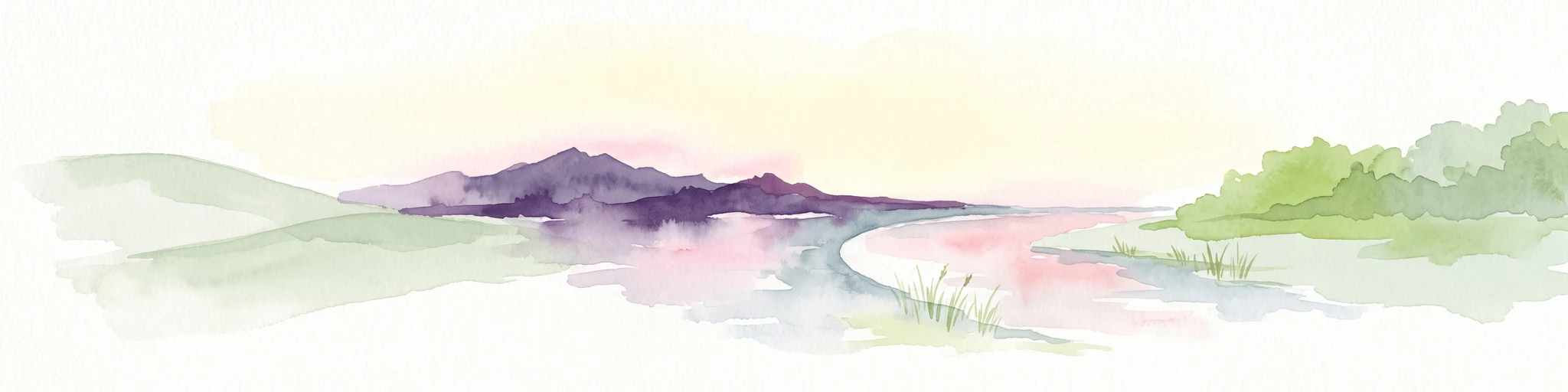
A soft watercolor painting of a natural landscape showing rolling green hills, a distant purple mountain range, and a calm body of water reflecting the light, with green foliage on the right bank.
Nature reserveNouvelle-Aquitaine
About 71 km away#7 closest

Northeast

Réserve naturelle régionale des Sauvages: Protected Landscape and Regional Geography

Mapped Habitat Mosaic in the Haute-Vienne of Nouvelle-Aquitaine

Discover the geographic composition of Réserve naturelle régionale des Sauvages, a protected nature reserve in France that integrates diverse habitats including heather-dominated moorland, peatland, beech forest, and historical ponds. This site serves as a key component of the regional conservation landscape within the Haute-Vienne.

Area
0.826 km²
Established
2015
IUCN
IV
Relief
Upland
Wildlife reserveNouvelle-Aquitaine
About 100 km away#8 closest

Southwest

Terres d'oiseaux Wildlife Reserve: Protected Estuarine Landscape in Nouvelle-Aquitaine

Migratory bird habitat and Gironde estuary geography

Terres d'oiseaux is a significant wildlife reserve positioned within the Blayais marshes of Nouvelle-Aquitaine. The site encompasses a diverse mosaic of estuarine wetlands, including reedbeds and open water, providing critical stopover habitat for migratory birds along the Atlantic flyway. Its geography represents a blend of tidal interaction and controlled natural management, essential for regional avian monitoring and ecological studies.

Area
1.2 km²
Established
2010
IUCN
IV
Relief
Lowland
MoriAtlas Explorer

Explore the Val de Tardoire Nature Reserve Landscape and Geographic Map Data

Trace the course of the Tardoire river and investigate the boundaries of this protected area through MoriAtlas. Examine how local topography and diverse habitats contribute to the ecological character of this Charente landmark. Start mapping the natural terrain and conservation value of this unique river valley today.