
Mori Atlas logo
Natural monumentValcha

Mapping the forest ponds and rare mire habitats of the Středočeský kraj region

Valcha Natural Monument: A Detailed Geographic Survey of Protected Wetland Landscapes

(Přírodní památka Valcha)

Valcha Natural Monument serves as a critical protected wetland area in the Středočeský kraj region of the Czech Republic. This site features a silting forest pond and surrounding marshlands formed within a unique ravine topography near the Jizerská tabule plateau. The protected area provides a rare mosaic of aquatic, mire, and swamp habitats that maintain significant ecological value within the local landscape.

wetlandforest pondmarshlandsedge mirealder swampNatura 2000
A flat vector-style digital illustration showing a tranquil forest pond with swampy reeds, pine trees, and a distant rocky mountain range under a pale sun.

Valcha

Natural monument

Park overview

Structured park overview, official facts, and landscape profile for Valcha Natural Monument

Valcha Natural Monument park facts, protected area profile, and essential visitor context

Review the core facts for Valcha Natural Monument, including designation, size, terrain, visitor scale, habitats, and operating context in one park-focused overview.

About Valcha Natural Monument

Valcha Natural Monument is a compact yet ecologically rich protected site located in the Central Bohemian Region, near the town of Bělá pod Bezdězem. It safeguards a forest pond and its associated marshy valleys, where a combination of open water, sedge wetlands, and alder swamp woodland creates conditions for a diverse and partly threatened set of species. The site lies in a side ravine on the left bank of the Bělá river valley, with the railway embankment effectively functioning as the pond's dam and a culvert draining the excess water into the Bělá river.

The protected area was formally declared in 2013, although the wetland itself had likely originated much earlier, possibly when the construction of the railway line caused the damming of a natural depression. Over time, the pond has been slowly filling in through natural sedimentation, a process that is gradually transforming its open-water character into a more complex mosaic of shallow water, marsh, and wet woodland. This ecological transition is precisely what gives Valcha its conservation importance, as different stages of the successional sequence each support different rare species.

Beyond its biodiversity value, the site is notable for its integration into a wider landscape shaped by both natural and industrial features. The eastern side of the area, beyond the embankment and the Bělá river, is occupied by the grounds of the Bělské papírny paper mill, which gives the location a distinctive mix of industrial surroundings and natural habitat. To the east, the terrain rises sharply into a steep slope, while the broader region forms part of the Jizerská tabule, a relatively flat sandstone plateau of Middle Turonian age with calcareous sandstone layers.

Quick facts and research context for Valcha Natural Monument

Valcha was declared a natural monument on 28 September 2013 by the Regional Authority of the Central Bohemian Region. The area lies on the cadastral territory of Bělá pod Bezdězem, north of the railway line between Bakov nad Jizerou and Jedlová, between the Bělá pod Bezdězem zastávka stop and the hamlet of Šubrtov.

The protected zone sits at an elevation of roughly 234 to 241 meters above sea level and covers about 2.39 hectares, but the ecological footprint of its wetlands extends beyond the strictly defined boundary. Geologically, the area belongs to the Jizerské souvrství (Jizera Formation) of Middle Turonian age, with layers of calcareous sandstone, and forms part of the broader Jizerská tabule geomorphological unit.

Protection and recognition

Documented terrestrial protection scope and Natura 2000 recognition records

Valcha Protection Status and International Recognition Data

Valcha brings together documented terrestrial protection measures and official Natura 2000 designation records within a structured framework. Verified administrative sources provide transparent insight into the established conservation boundaries and international recognition parameters associated with the protected landscape.

International recognition

Protection details

Protection scope
Terrestrial
Transboundary protection
No
Park context

Deeper park guide and search-rich context for Valcha Natural Monument

Valcha Natural Monument history, landscape, wildlife, and travel context

Explore Valcha Natural Monument through its history, landscape character, ecosystems, wildlife, conservation priorities, cultural context, and seasonal travel timing in a structured park guide built for atlas discovery and search intent.

Why Valcha Natural Monument stands out

Valcha is best known for protecting a small, silting-up forest pond and its surrounding marshlands that harbor rare wetland species. The site is particularly associated with the presence of Vertigo moulinsiana, a small snail of conservation concern in European habitats, and of the Siberian bulrush, an aquatic plant whose population here is one of the key features justifying the area's protected status. The monument's overlap with a Natura 2000 site reflects the broader European significance of even very small wetland patches when they retain high-quality habitat conditions such as well-watered sedge mires, open oligotrophic water, and alder-dominated swamp woodland.
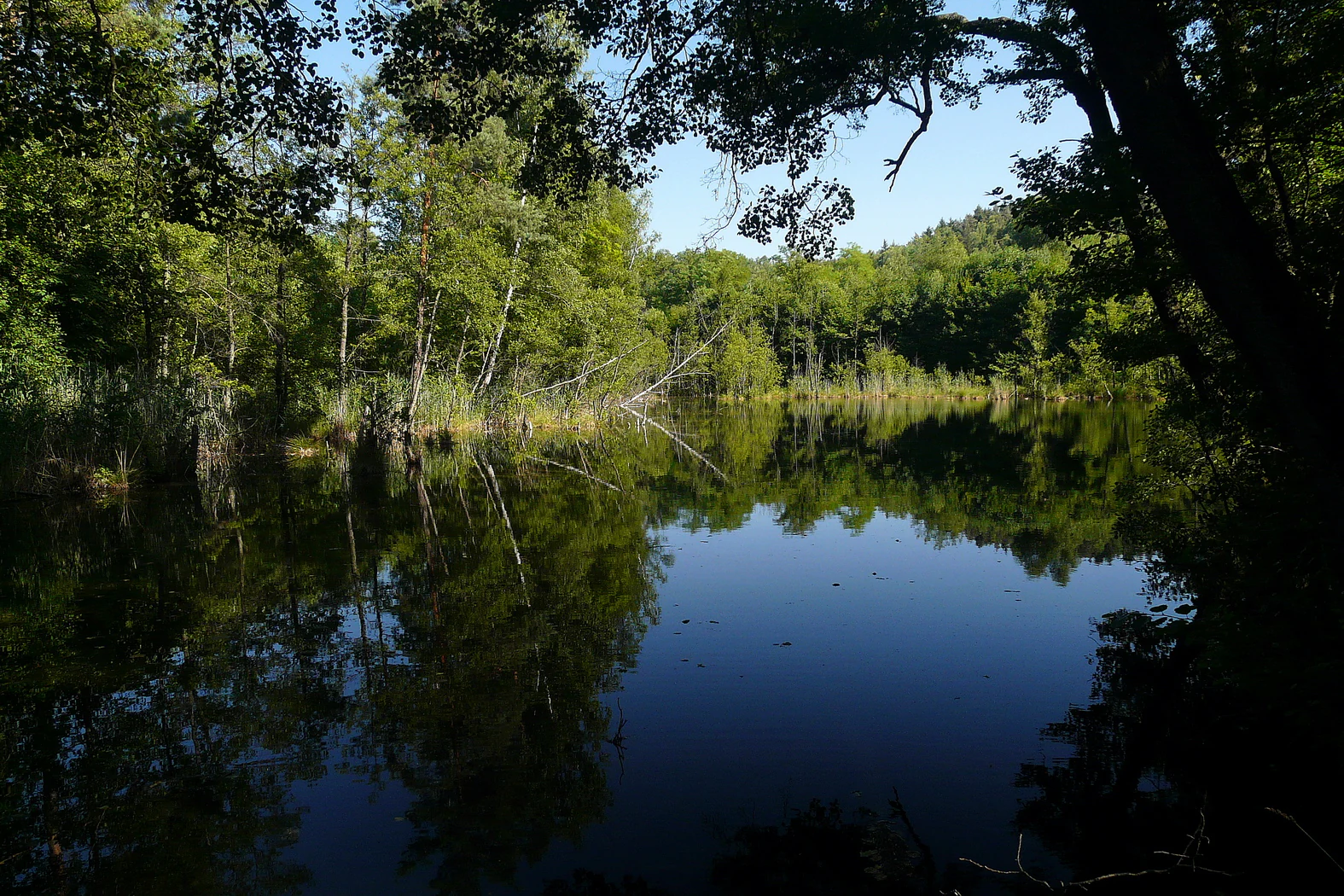
A reflective pond surrounded by lush forest trees, with the foliage casting deep shadows over the water surface.
The tranquil forest pond at Valcha Natural Monument.

Valcha Natural Monument history and protected-area timeline

Valcha was officially designated as a natural monument on 28 September 2013 by the Regional Authority of the Central Bohemian Region, in recognition of the conservation value of its small pond and wetland complex. The formal protection came after the site's significance for rare marsh and aquatic species had been documented, including its overlap with a European-designated Natura 2000 locality of the same name.

Although the area's formal protection history begins in 2013, the wetland habitat itself is considerably older. The pond is believed to have formed through the damming of a natural depression during the construction of the nearby railway line between Bakov nad Jizerou and Jedlová, an event that quietly created the conditions for a long-lasting wetland ecosystem. Over the following decades, the pond has progressively silted up, transforming from open water into a more diverse mosaic of marsh, sedge mire, and alder swamp.

Valcha Natural Monument landscape and geographic character

The landscape of Valcha is shaped by a small forested ravine on the western side of the Bělá river valley, where a shallow pond and surrounding wetlands occupy a modest depression. A key feature is the railway embankment of the Bakov nad Jizerou to Jedlová line, which acts almost like a dam for the pond, with a culvert allowing water to drain out into the Bělá river on the other side.

To the east, the terrain rises into a noticeably steep slope, while the wider region forms part of the Jizerská tabule, a geomorphological unit characterized by relatively flat upland terrain developed on calcareous sandstone of Middle Turonian age. The combination of small-scale ravine topography, the artificial but ecologically effective dam of the railway embankment, and the broader plateau setting gives Valcha a compact and varied microrelief, where wetland and dry slope habitats lie immediately next to one another.

Valcha Natural Monument ecosystems, habitats, and plant life

The habitats of Valcha form a finely structured mosaic typical of small, hydrologically active wetland sites. At its center is a shallow oligotrophic forest pond whose open water supports characteristic aquatic macrophytes, including Ceratophyllum and Lemna minor, along with the rare Utricularia minor. The pond is gradually silting up, a natural process that expands the marshy fringes and increases habitat diversity.

Surrounding the water, well-watered sedge mires with tussocks of Carex paniculata provide the substrate for populations of rare marsh species, while the northern part of the protected area consists of a marshy alder woodland dominated by Alnus glutinosa, with Alnus incana, Betula pubescens, and scattered Picea abies. Together, these habitats create a layered wetland system in which open water, sedge marsh, and wet woodland succeed one another within a very small area.

Valcha Natural Monument wildlife and species highlights

Wildlife significance at Valcha is tightly linked to the site's wetland habitats and their associated rare invertebrate and plant species. The pond and surrounding sedge mires support populations of Vertigo moulinsiana, a small marsh snail of European conservation concern whose presence here is one of the primary reasons for the site's protection. The marshy alder woodland and the edges of the water body also host a smaller but vital population of the Siberian bulrush, another Natura 2000 interest species.

Although the source material centers on these flagship species rather than on broader fauna lists, the overall habitat structure suggests that the area likely supports typical wetland-associated birdlife, amphibians, and insects associated with sedge mires and oligotrophic pools more generally.

Valcha Natural Monument conservation status and protection priorities

Valcha's conservation importance lies in the unusually high biodiversity value packed into a very small surface area. The site was designated as a natural monument and at the same time recognized as a Natura 2000 locality of European importance, reflecting the regional and continental significance of its habitats and species.

The protected area safeguards a functioning gradient between open oligotrophic water, well-developed sedge mires, and marshy alder woodland. This gradient supports rare marsh-dwelling species such as Vertigo moulinsiana and the Siberian bulrush, while also preserving the hydrological and geomorphological conditions that allow these habitats to persist. The site's conservation role is therefore not just to protect individual species, but to maintain the small-scale ecological processes that sustain them over time.

Valcha Natural Monument cultural meaning and human context

Valcha's cultural context is shaped less by long-standing human presence than by the interplay of industrial landscape and natural recovery. The wetland likely originated as a byproduct of nineteenth- or twentieth-century railway construction, when the embankment dammed a natural depression and inadvertently created the pond that now defines the protected site.

Nearby, the Bělské papírny paper mill forms a distinctive industrial backdrop to the natural monument, illustrating how relatively small protected sites often coexist with active human land use. The site's sometimes-used alternative name, Tůň Hájovna, references a former forester's lodge on the pond's bank, hinting at the area's historic connection with forest management and local rural life.

Top sights and standout views in Valcha Natural Monument

A compact wetland site combining a silting forest pond, sedge mires, and marshy alder woodland within the Jizerská tabule landscape. Designated both as a Czech natural monument and as a Natura 2000 site, it protects rare wetland species such as Vertigo moulinsiana and the Siberian bulrush. Its small footprint and unusual origin along a railway embankment give it a distinctive ecological and cultural character.

Best time to visit Valcha Natural Monument

Valcha is a small wetland site whose character shifts primarily with hydrology and vegetation cycles rather than with traditional tourist seasons. Late spring and early summer typically bring the most active growth of aquatic macrophytes and sedge tussocks, while the marshy alder woodland is most atmospheric in autumn, when wet ground and soft light emphasize the site's distinctive wetland feel. Outside these periods, the area remains accessible as part of the broader countryside around Bělá pod Bezdězem, though conditions underfoot can be soft given the marshy terrain.


Monthly climate preview

Long-term temperature and precipitation patterns across the representative coordinate

Valcha Climate Normals and Measured Weather by Month

Historical climate data reveals measured monthly temperature and precipitation rhythms across the representative coordinate for Valcha from 1991 to 2020. Reviewing the complete twelve-month profile provides deeper context for long-term meteorological patterns and seasonal shifts.
Annual mean8 °C
-3 °C19 °C
Jan-3°
Feb-2°
Mar
Apr
May13°
Jun17°
Jul19°
Aug18°
Sep13°
Oct
Nov
Dec-2°
Warmest month
July

18.7 °C

Coolest month
January

-3.1 °C

Wettest month
July

2.9 mm/day

Driest month
April

1.3 mm/day

Park location guide

Geography guide, regional context, and park location map for Valcha Natural Monument

Valcha Natural Monument park geography, regions, and map view in Czechia

Understand where Valcha Natural Monument sits in Czechia through a broader geographic reading of the surrounding landscape, nearby location context, and its mapped position within the national park landscape.

How Valcha Natural Monument fits into Czechia

Czech Republic is a landlocked Central European country with a population of approximately 10.9 million people. The nation was established as an independent state on January 1, 1993, following the dissolution of Czechoslovakia. Its capital and largest city is Prague, with other major urban centers including Brno, Ostrava, Plzeň, and Liberec.

Wider geography shaping Valcha Natural Monument in Czechia

The Czech Republic is a landlocked country in Central Europe. It is bordered by Germany to the west, Austria to the south, Poland to the northeast, and Slovakia to the southeast. The landscape is predominantly hilly, with the territory covering 78,871 square kilometers.

Map view of Valcha Natural Monument

Use this park location map to pinpoint Valcha Natural Monument in Czechia, understand its exact geographic position, and read its mapped placement within the surrounding landscape more clearly.

Pigeon | © OpenStreetMap contributors

Location context for Valcha Natural Monument

Středočeský kraj
Recorded earthquake history

Examine Recorded Earthquake Activity for Valcha Natural Monument

Access the complete collection of recorded earthquake data associated by proximity with the Valcha protected area. Explore the historical record of seismic events in the surrounding region of the Central Bohemian landscape through this curated MoriAtlas resource.

Valcha Earthquake History Catalogue

Catalogued events

14 events

Strongest magnitude

Magnitude 3.7

Most recent event

Dec 7, 1991

This history includes earthquakes recorded inside the park or within 50 km of its borders

Explore detailed imagery of the forest pond, ravine terrain, and marshland habitats across Valcha.

Valcha Photos and Protected Area Scenery: Visualizing Wetland Habitats

Photographic records reveal the compact forest pond, sedge mires, and steep ravine terrain that define the protected landscape of Valcha. Visual documentation helps researchers and visitors examine specific wetland habitats, aquatic vegetation patterns, and microrelief features within the Jizerská tabule plateau.

A reflective pond surrounded by lush forest trees, with the foliage casting deep shadows over the water surface.

A small, calm pond nestled within a dense forest wetland with tall grasses, marsh vegetation, and slender trees rising directly from the water.

Park atlas

Compare regional wetland habitats and nearby protected landscapes

Explore Parks Near Valcha and Surrounding Protected Natural Areas

Browse other parks near Valcha to evaluate similar wetland reserves, forest ponds, and protected natural habitats across the wider regional geography. Extending your geographic search helps connect isolated valley monuments into a broader understanding of local plateau terrain and conservation networks.
Natural monumentCentral Bohemian Region
About 4.3 km away#1 closest

Northwest

Velký Radechov Natural Monument: Geography and Protected Habitat Mapping

Neovolcanic upland terrain within the Central Bohemian Region

Explore the mapped boundaries and natural features of Velký Radechov. This protected site in the Central Bohemian Region serves as an ecological mosaic, showcasing how neovolcanic hill slopes and formerly managed habitats provide refuge for a wide range of flora and fauna in the Czech landscape.

Area
0.22 km²
Established
1999
IUCN
IV
Relief
Upland
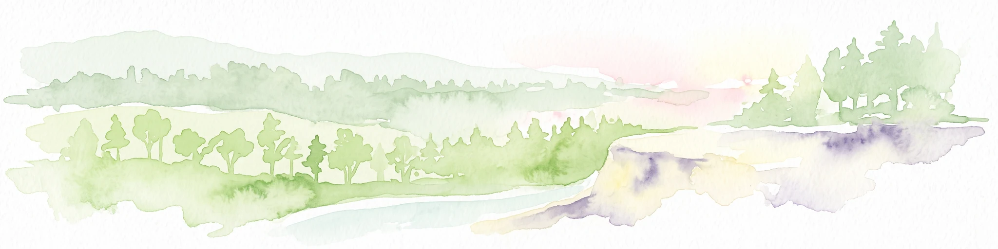
A soft watercolor illustration depicting a riverbank with light green trees and a prominent rocky outcrop or cliff face near the water.
Natural monumentCentral Bohemian Region
About 6.3 km away#2 closest

East

Skalní sruby Jizery Natural Monument: Sandstone Landforms and River Geography

Protected riparian sandstone terrain in the Central Bohemian Region

This natural monument protects a rare geological formation along the Jizera River, where lateral erosion has created an extensive sandstone rock shelter. The site showcases advanced pseudokarst weathering and supports a dense concentration of botanical and avian diversity within its two-hectare boundary in the Central Bohemian Region.

Area
0.02 km²
Established
1979
IUCN
III
Relief
Upland
Natural monumentCentral Bohemian Region
About 10 km away#3 closest

Northeast

Vrch Káčov Natural Monument: Mapped Geological Features in Central Bohemia

Volcanic rock formations and regional terrain context

Vrch Káčov is a designated natural monument preserving a unique volcanic hill and rock suk in the Central Bohemian Region. Its landscape is defined by contact metamorphism and porcelanite formations, offering a concentrated look at the geological evolution of the Jičínská pahorkatina hill country. The site provides a valuable reference for analyzing protected Bohemian terrain and its surrounding geographic characteristics.

Area
0.019 km²
Established
1953
IUCN
III
Relief
Upland
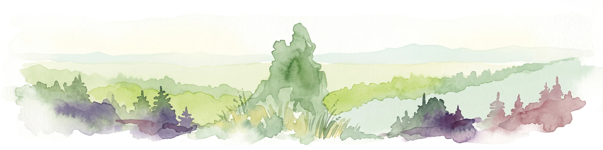
A watercolor painting showing a panoramic view of a wetland area with reeds in the foreground and a forested ridge in the background.
Protected landscapeMladá Boleslav District
About 14 km away#4 closest

Southeast

Přírodní park Chlum: Exploring the Geography of a Protected Czech Woodland Ridge

Mladá Boleslav District protected landscape analysis

Examine the structural character of Přírodní park Chlum, an asymmetric horst ridge in the Czech Republic that serves as a vital ecological corridor. This protected landscape preserves rare forest communities and geological features, providing essential habitat continuity across the surrounding agricultural lowlands of the Mladá Boleslav District.

Area
13.19 km²
Established
2000
Relief
Upland
Climate
Temperate
Natural monumentStředočeský kraj
About 16 km away#5 closest

East

V Dubech Natural Monument: Protected Wetland Landscapes and Geography in Czech Republic

A compact wetland mosaic in the Středočeský kraj region

V Dubech is a protected natural monument situated at the base of the Příhrazské skály sandstone formations in the Czech Republic. This site preserves a valuable wetland mosaic, including base-rich peat meadows and alder woodlands that support rare species. The park provides an essential look at the localized, water-dominated geography within the broader context of the Bohemian Paradise protected landscape.

Area
0.047 km²
Established
1998
IUCN
III
Relief
Lowland
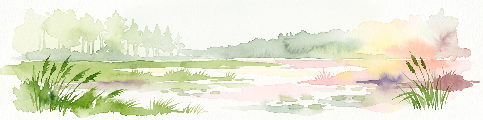
A watercolor painting showing a winding river through a green landscape with soft hills in the distance and tall grasses in the foreground.
Natural monumentLiberec Region
About 17 km away#6 closest

Northwest

Meandry Ploučnice u Mimoně: Mapping the Protected River Landscapes of the Liberec Region

Unregulated Bohemian river meanders and wetland habitats

Spanning 49 hectares in the Liberec Region, Meandry Ploučnice u Mimoně preserves a naturally shifting river corridor. The monument protects complex meander lakes and active floodplain dynamics, providing a sanctuary for rare dragonfly, butterfly, and mammal populations within an otherwise developed lowland environment.

Area
0.494 km²
Established
2014
IUCN
IV
Relief
Lowland
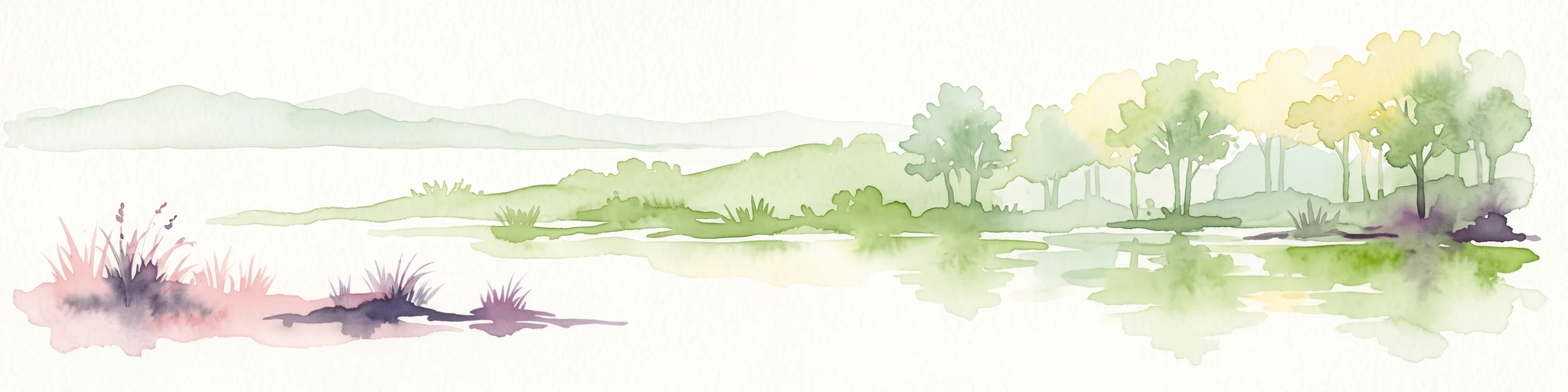
A horizontal watercolor painting depicting a soft landscape with green hills, light forest foliage, and a water body in a muted, warm color palette.
Protected landscapeMladá Boleslav District
About 19 km away#7 closest

Southeast

Přírodní park Čížovky: Geographic Overview of the Protected Landscape in Mladá Boleslav District

Mapping wetlands, aquatic ecosystems, and rural terrain

Přírodní park Čížovky serves as a significant protected landscape in the Mladá Boleslav District. It features a dense mosaic of ponds, marshes, and orchards. Explore the mapped boundaries of this terrain, ranging from the Křesovský potok valley to the elevated Křemenice ridge, showcasing a classic Central Bohemian ecological heritage.

Area
386 km²
Established
1998
Relief
Upland
Climate
Temperate
Natural monumentSemily District
About 19 km away#8 closest

East

Vústra Natural Monument: Mapping the Protected Wetland Landscapes of the Semily District

A concentrated botanical and geological sanctuary in the Bohemian Paradise

Vústra is a highly localized natural monument in the Semily District that preserves a vital wetland complex including a pond and calcareous fen. Surrounded by characteristic sandstone rock towers and alder-spruce forests, the site serves as a vital ecological anchor within the wider Bohemian landscape. This detail page traces the specific boundaries and topographical features that define this protected monument.

Area
0.023 km²
Established
1996
IUCN
IV
Relief
Lowland

Common questions about visiting, size, designation, and location context for Valcha Natural Monument

Valcha Natural Monument FAQs for park facts, access, geography, and protected area context

Find quick answers about Valcha Natural Monument, including protected-area facts, park geography, trail and visitor context, and how the park fits into its surrounding country and regional landscape.
MoriAtlas Explorer

Continue Your Protected Areas Search Across the Global Atlas

Deepen your exploration by continuing the structured search for national parks and protected areas worldwide. Utilize the comprehensive filtering capabilities to compare different conservation landscapes and refine your understanding of global park geography. Discover more about the distribution and characteristics of protected natural areas.

Global natural geography