
Why Waitākere Ranges stands out
The Waitākere Ranges are best known for their close juxtaposition of wild, regenerating native forest with a dramatic black sand surf coast, just a short drive from central Auckland. The ranges protect one of the most extensive surviving kauri forests in the Auckland region, despite extensive logging in the nineteenth and early twentieth centuries, and they shield a chain of iconic west coast beaches, Piha, Karekare, Muriwai, and Te Henga (Bethells Beach), known for their powerful surf and dark volcanic sand. They are also recognised for their layered conservation story: an Auckland regional park established gradually from 1894 onward, a heritage area protected by the Waitākere Ranges Heritage Area Act of 2008, and a long-running effort to defend the kauri trees from kauri dieback disease. Combined with a strong Māori heritage tied to Te Kawerau ā Maki, the ranges carry both ecological and cultural weight that extends well beyond their modest elevation.
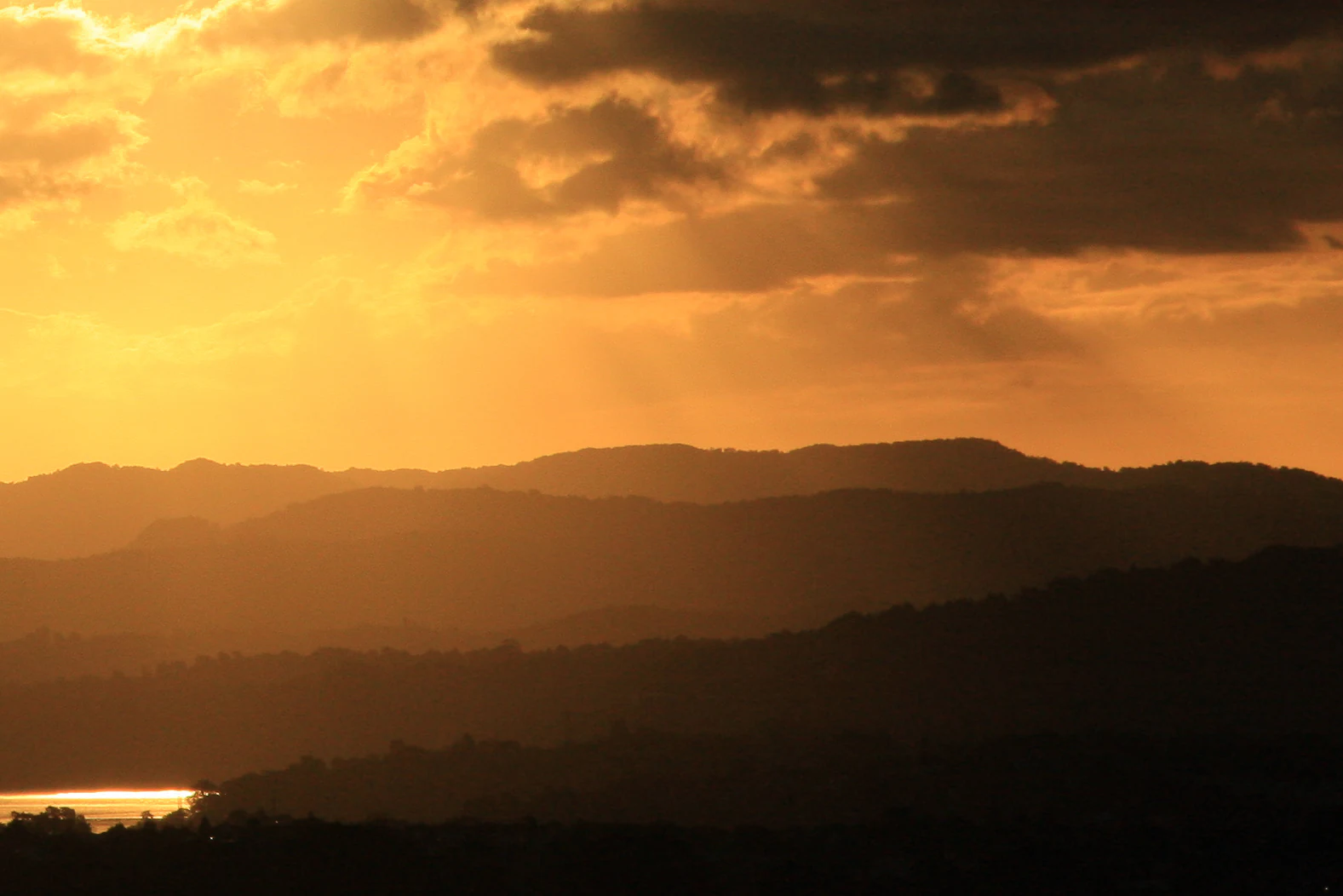
Waitākere Ranges history and protected-area timeline
The ranges have a long human history. Tāmaki Māori had strong traditional associations with the Waitākere Ranges; the area lies within the rohe of Te Kawerau ā Maki, whose most intensive settlements clustered around the Waitākere River and Te Henga (Bethells Beach). The warm, sheltered west coast valleys supported crops such as kūmara, taro, hue (calabash), and aruhe (bracken fern) root, and abundant coastal and forest resources supported a thriving pre-European economy. More than fifty pā sites have been recorded, with caves around Piha and Whatipu serving as wartime refuges between the sixteenth and eighteenth centuries. In the creation traditions of the Auckland volcanic field, the ranges were said to be the home of the patupaiarehe tribe led by the chief Tiriwa, and fishing nets, baskets, and cloak fragments have been recovered from sites along the coast.
In 1853 and 1854 the New Zealand government acquired about 40,000 hectares of Te Kawerau ā Maki land in the ranges, purchased from other iwi without consultation; reserves were created at Piha and Te Henga, but by the 1950s almost all Te Kawerau ā Maki land in the Waitākere Ranges had been partitioned and sold. The early colonial period brought intensive kauri logging, with twenty-three timber mills operating between 1840 and 1940 and an estimated 120,000 trees felled. Tramways along the west coast and dams on the waterways helped move giant logs to sawmills such as the one at Whatipu, with a wharf on Paratutae Island serving the industry until 1921.
Protection began in 1894, when naturalist Algernon Thomas persuaded Auckland City Council to reserve 3,500 acres in the Nihotupu area, followed by further reserves vested with the council in 1895 for the conservation of native flora and fauna. The Auckland Centennial Memorial Park was opened in 1940, expanded significantly by engineer and Titirangi resident Arthur Mead, and in 1964 was renamed the Waitākere Ranges Regional Park. By 1992 it had grown to about 17,000 hectares. In 2008 the Waitākere Ranges Heritage Area Act was passed, formally protecting about 27,700 hectares of public and private land. The most recent chapter came in 2017 when Te Kawerau ā Maki imposed a rāhui over the ranges to slow the spread of kauri dieback, prompting Auckland Council to close forested areas from May 2018 while tracks were upgraded to protect kauri roots.
Waitākere Ranges landscape and geographic character
The Waitākere Ranges are physically defined by their abrupt transition from coastal lowlands to steep, forested hills. The core of the ranges is a roughly 25-kilometre north to south chain of hills lying some 25 kilometres west of central Auckland, capped by Te Toiokawharu at 474 metres in the south, Ruaotuwhenua at 440 metres in the mid range, and Pukematekeo at 336 metres at the northern end above the city.
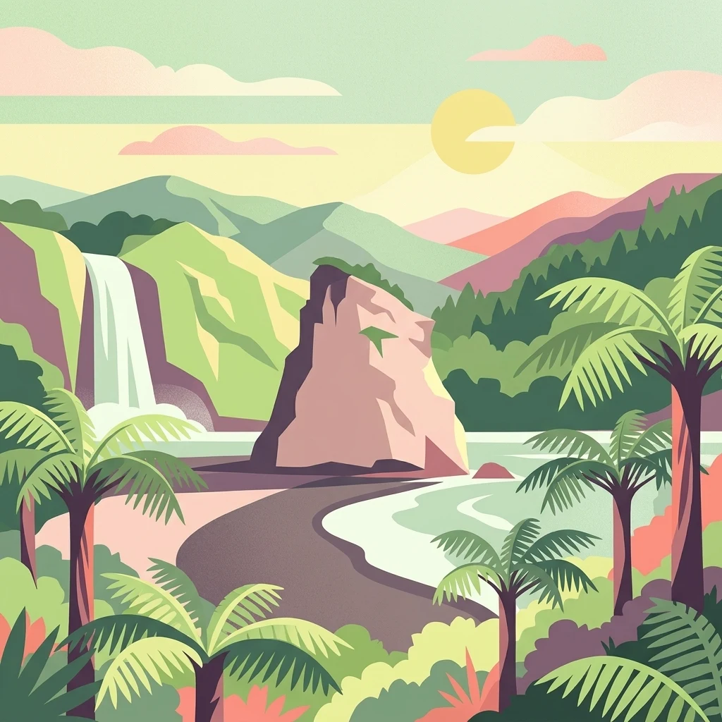
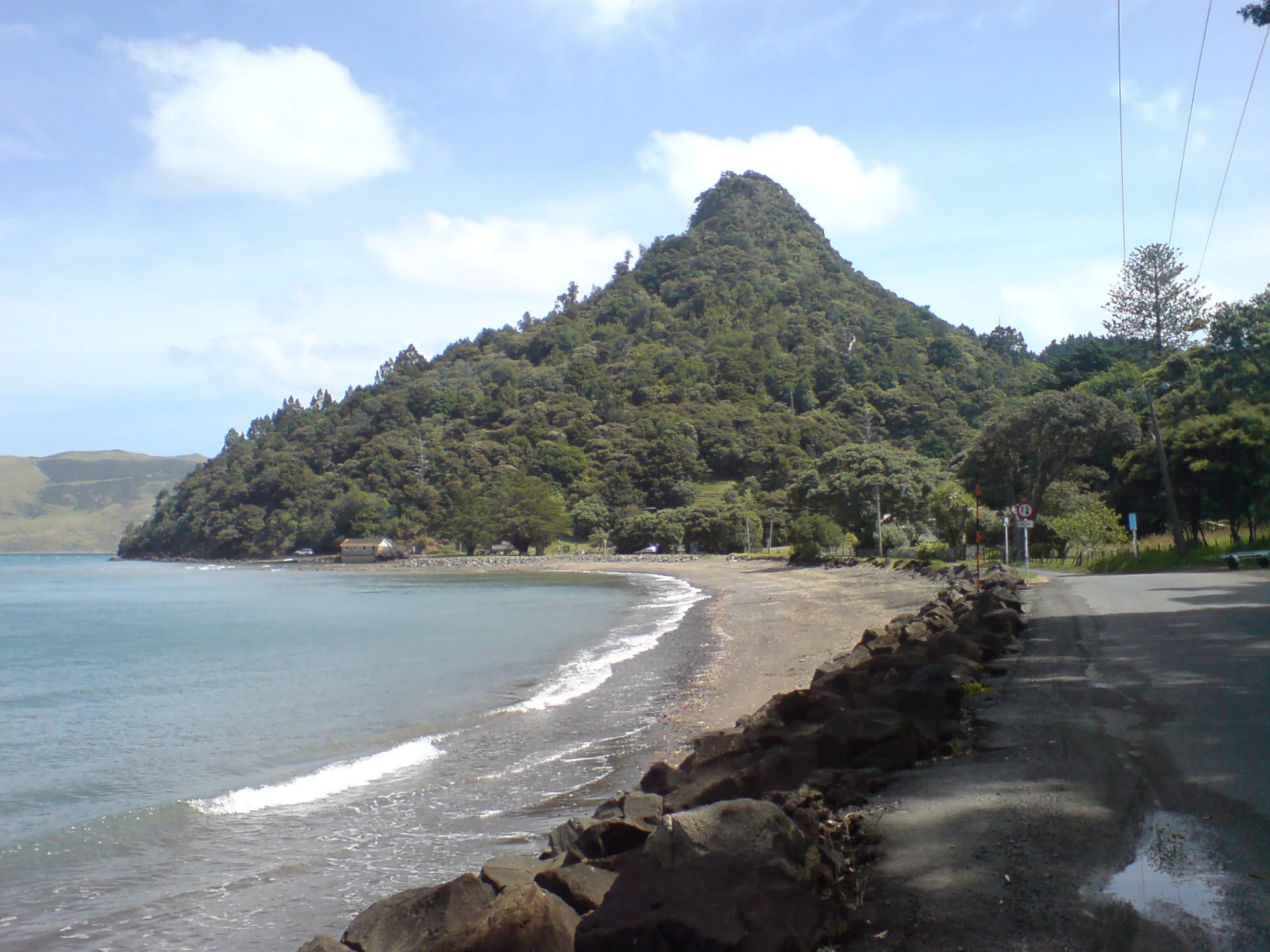
To the west, the ranges drop sharply to the Tasman Sea in cliffs that frequently exceed 300 metres, with isolated beaches tucked between rocky headlands. The four famous west coast beaches, Piha, Karekare, Muriwai, and Te Henga (Bethells Beach), sit on dark volcanic sand derived from erosion of the ancient volcanic rocks, and Lion Rock at Piha and Te Toka-Tapu-a-Kupe (Ninepin Rock) near Whatipu are dramatic remnants of volcanic vents and plugs.
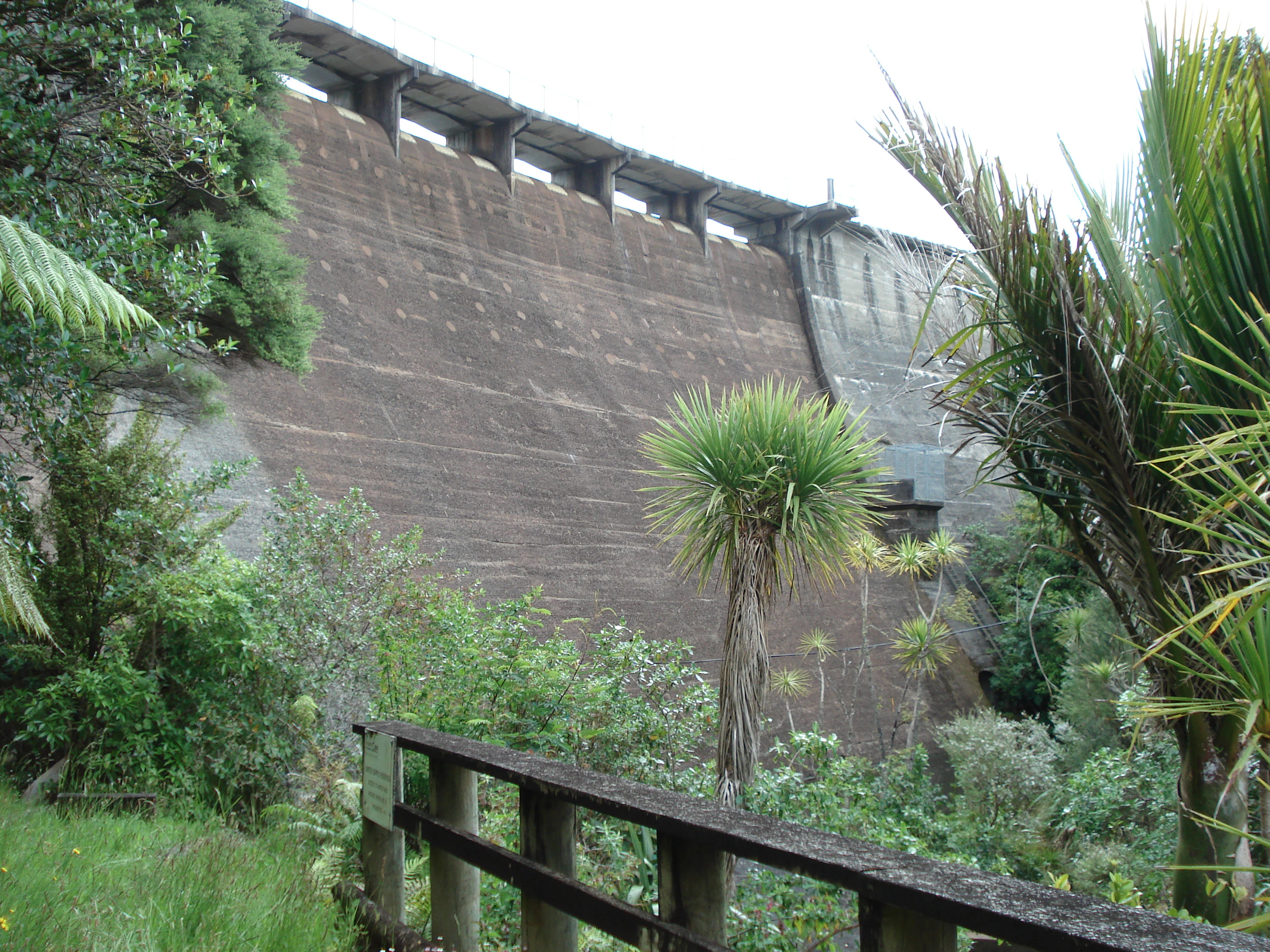
Inland, the terrain is dissected by stream valleys such as the Nihotupu, Huia, and Waitākere catchments, which were dammed in the early twentieth century to create reservoirs supplying Auckland's water supply. The eastern ridge of the ranges is followed by Scenic Drive, a winding road that links Titirangi, Waiatarua, and Swanson and offers repeated panoramas back over Auckland and out to the Tasman coast. Many of the named peaks along this ridge carry dual Māori and English names that reflect both the natural and cultural history of the range.
Waitākere Ranges ecosystems, habitats, and plant life
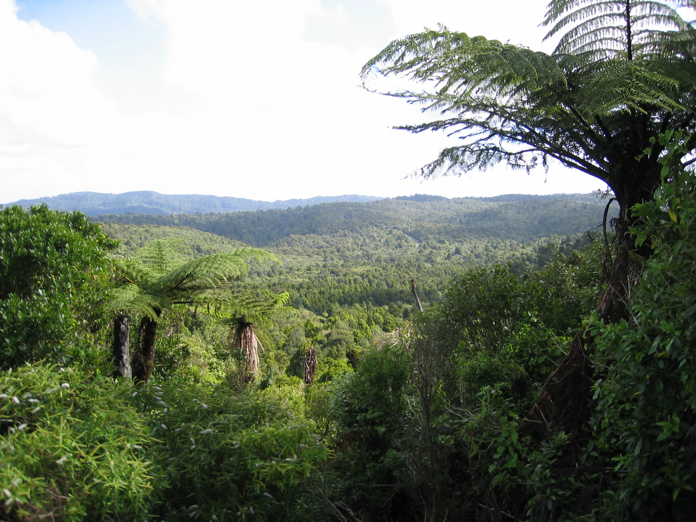
Ecologically, the Waitākere Ranges are a recovering podocarp-broadleaf forest ecosystem that once dominated the Auckland isthmus. Before human settlement the ranges were densely forested in kauri, northern rātā, rimu, and other native hardwoods and conifers, and although much of the original forest was cleared for kauri logging and farming, large areas have been regenerating in native bush since the early twentieth century. The forest is particularly rich in ferns, with over 110 species recorded, and in native orchids, some of which self-established from wind-borne seeds carried across the Tasman from Australia.
The ranges support some species that are rare elsewhere in the Auckland region. The Waitākere rock koromiko (Veronica bishopiana) is endemic to the area, and the west coast kōwhai (Sophora fulvida) and coastal hebe (Veronica obtusata) are largely confined to coastal West Auckland. Invertebrate life is distinctive, including the kauri snail, a number of wētā species, and unusual velvet worms (Onychophora) with 14, 15, and 16 pairs of legs, including ovoviviparous species in the genus Peripatoides. Native fauna also includes the New Zealand long-tailed bat and Hochstetter's frog, but introduced predators such as rodents, stoats, weasels, possums, and cats have profoundly shaped the contemporary ecology and have driven conservation projects aimed at restoring forest health and bird populations.
Waitākere Ranges wildlife and species highlights
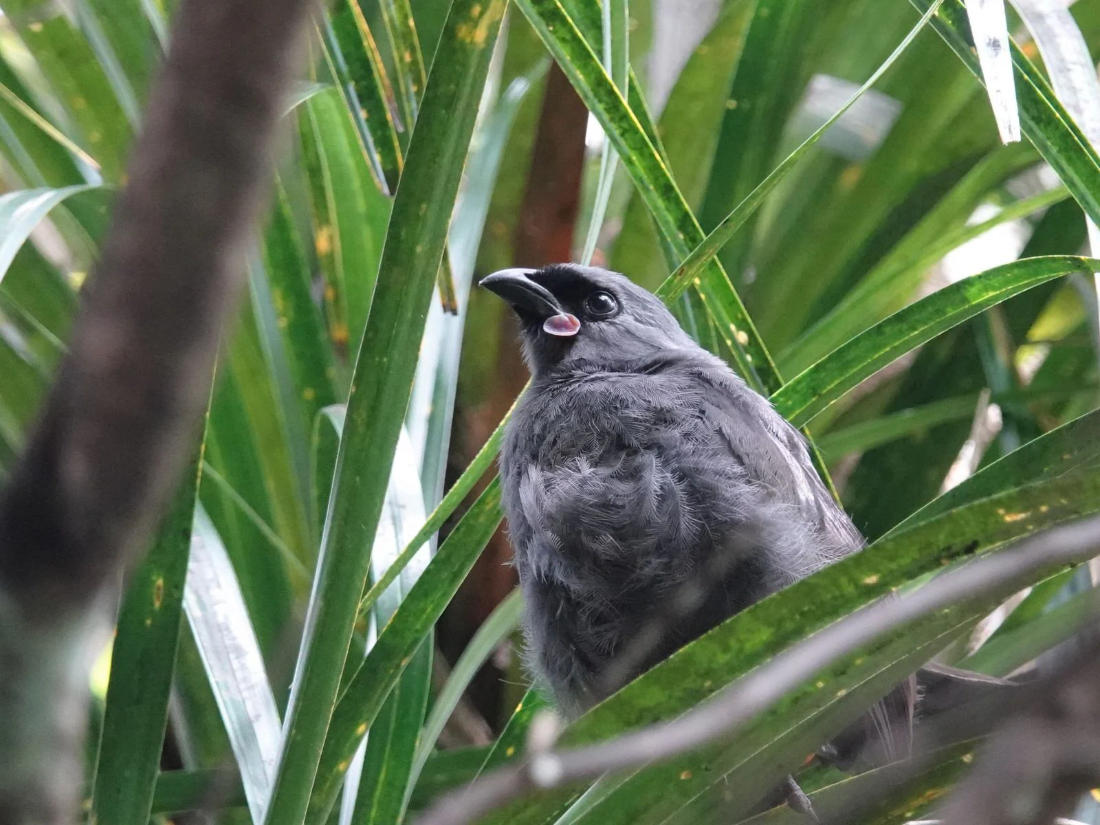
Wildlife is one of the defining interests of the Waitākere Ranges. The forests carry populations of many endemic New Zealand birds, and the ranges have been the focus of intensive predator control and reintroductions under the Ark in the Park project, a collaboration between Forest and Bird and Auckland Council that has grown from 200 hectares of volunteer-trapped land in 2002 to more than 2,200 hectares. Reintroduced species include the whitehead (pōpokatea), the North Island robin (toutouwai), and the North Island kōkako, which had last been seen in the ranges in the 1950s before returning in 2009.
A wide range of other native birds are found throughout the ranges, alongside resident populations of Hochstetter's frog and the New Zealand long-tailed bat. At the northern edge of the ranges, Otakamiro Point hosts one of New Zealand's few mainland breeding colonies of Australasian gannets, a major draw for wildlife visitors. The invertebrate fauna is unusually rich on the west coast, with kauri snails, wētā in various forms, and distinctive velvet worms with 14, 15, and 16 pairs of legs adding both ecological and scientific interest to the forest environment.
Waitākere Ranges conservation status and protection priorities
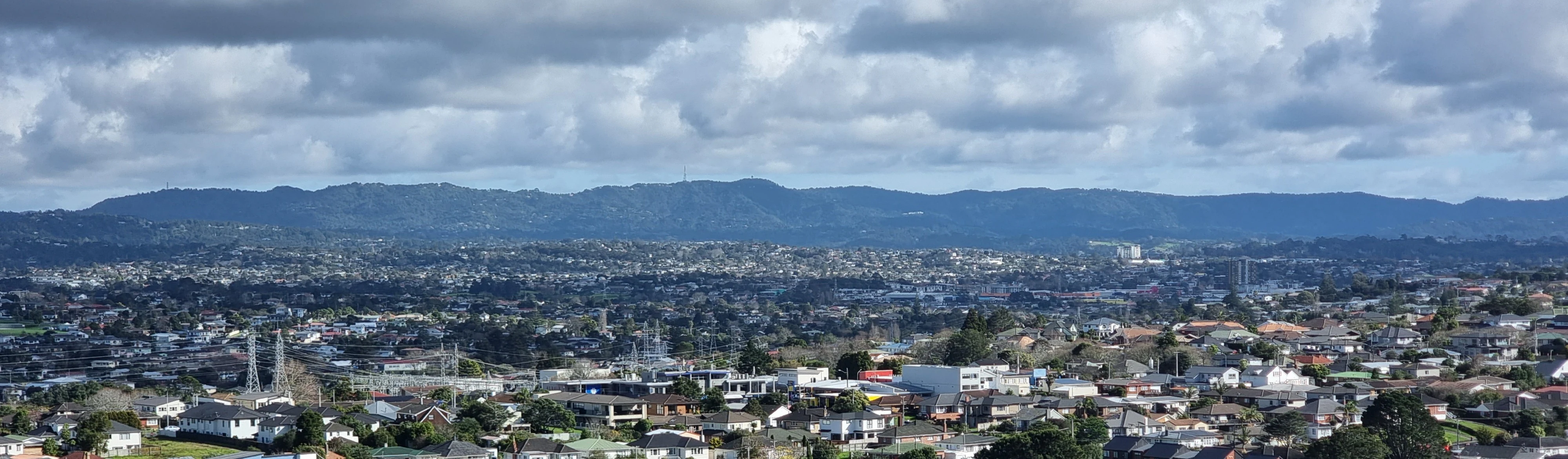
Conservation is central to the identity of the Waitākere Ranges. About 27,700 hectares of public and private land across the ranges are protected under the Waitākere Ranges Heritage Area Act of 2008, one of the more comprehensive pieces of regional conservation legislation in New Zealand. The Waitākere Ranges Regional Park itself, one of Auckland's flagship regional parks, covers roughly 60 percent of that heritage area and protects a large block of regenerating native forest adjacent to a major city.
The most urgent conservation challenge is kauri dieback, a disease caused by oomycete organisms that attack kauri trees and prevent them from taking up nutrients. The disease was first identified in the ranges in 2006 by entomologist Peter Maddison, and in 2017 Te Kawerau ā Maki placed a rāhui over the ranges asking visitors to stay out. From May 2018 Auckland Council restricted access to the forested areas of the regional park so tracks could be upgraded to a dry foot standard designed to protect kauri roots and slow the spread of the disease. Parallel to this effort, the Ark in the Park project has used volunteer trapping to reduce introduced predators and create safe refuges for native birds.
Waitākere Ranges cultural meaning and human context
The cultural fabric of the Waitākere Ranges is deeply tied to Te Kawerau ā Maki, the iwi whose traditional rohe includes the ranges and their coastline. The Māori name for the forested heart of the ranges, Te Wao Nui a Tiriwa, evokes the legendary chief Tiriwa of the Tūrehu patupaiarehe. Pre-European settlement focused on the Waitākere River valleys, Te Henga (Bethells Beach), and the sheltered west coast streams, where crops such as kūmara, taro, hue (calabash), and aruhe (bracken fern) root were grown, and coastal seafood and forest game were abundant.
The landscape holds oral traditions about taniwha guardians, patupaiarehe inhabitants, and the navigator Rakatāura of the Tainui canoe, who named many features of the west coast. More than fifty pā sites, including Whakaari pā at Lion Rock in Piha and wartime refuges in the Whatipu caves, reflect the long history of conflict and adaptation. Nineteenth-century land purchases by the Crown and the kauri logging era reshaped the community; by the 1950s almost all Te Kawerau ā Maki land within the ranges had been lost, and most of the iwi had moved from their ancestral settlements. Modern cultural recognition is expressed through formal protections, the 2017 rāhui over the ranges to protect kauri, and ongoing involvement of Te Kawerau ā Maki in the governance of the heritage area.
Top sights and standout views in Waitākere Ranges
The Waitākere Ranges bring together a remarkable combination of dramatic scenery, regenerating native forest, and cultural depth within easy reach of Auckland. The dark, surf-pounded beaches of Piha, Karekare, Muriwai, and Te Henga are emblematic, as is Lion Rock framing the entrance to Piha beach. Inland, an extensive network of tracks, including the 77-kilometre Hillary Trail from Arataki Visitor Centre to Muriwai, runs beneath a canopy of kauri, northern rātā, rimu, and more than 110 species of ferns.
Viewpoints along Scenic Drive and from peaks such as Te Toiokawharu, Ruaotuwhenua, and Pukematekeo sweep across both coasts and out over Auckland, while the Otakamiro Point gannet colony near Muriwai offers one of New Zealand's most accessible mainland seabird experiences. The combined heritage area, regional park, and active conservation programmes, including Ark in the Park and the long-running effort to halt kauri dieback, mean the ranges carry real ecological weight in addition to their visual and cultural appeal.
Best time to visit Waitākere Ranges
The Waitākere Ranges have a temperate, maritime climate shaped by high orographic rainfall on the western slopes, with weather that can change quickly. Summer, generally December through February, brings the warmest conditions, calmer seas, and the peak surf and beach scene at Piha, Muriwai, Karekare, and Te Henga, when surf life saving patrols are also active. This is also when forest tracks are at their most inviting, though track closures and access restrictions tied to kauri dieback protection should always be checked in advance.
Autumn and spring offer quieter conditions, softer light for photography along Scenic Drive and the coastal lookouts, and a steady stream of bird activity as native species, including reintroduced kōkako, robins, and whiteheads, are most easily heard and seen. Winter brings cooler temperatures, the greenest forest conditions, and dramatic surf along the west coast beaches, but also higher rainfall and shorter days, which can make some cliff-top walking more exposed. Because the ranges are close to Auckland and used year-round by locals, any season can suit a visit if access and track conditions are confirmed in advance.