
Mori Atlas logo
Nature reserveWerraaue bei Berka und Untersuhl

A vital riverine network of oxbow lakes, wet grasslands, and riparian corridors in western Thuringia

Werraaue bei Berka und Untersuhl: Mapping the Protected Floodplain Landscape of Wartburgkreis

The Werraaue bei Berka und Untersuhl nature reserve serves as a critical refuge for meadow-breeding birds and protected wildlife within the Wartburgkreis district. This floodplain landscape, defined by meandering river channels, silted-up oxbow systems, and saline-influenced vegetation, stands as a cornerstone of the regional Green Belt biotope network. Its geography offers a complex, low-relief mosaic of wet meadows and riparian habitats that trace the historic course of the Werra river.

floodplainwet grasslandoxbow lakesreed bedsmeadow birdsriver landscape
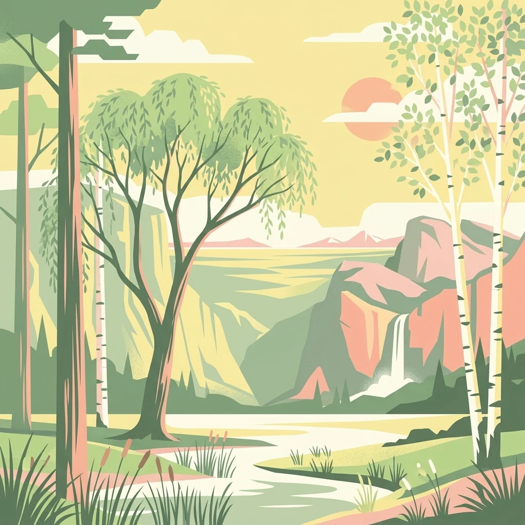
An illustration in a muted, retro style showing a winding river through a valley with birch and willow trees in the foreground, mountain cliffs in the midground, and a small waterfall flowing into the valley.

Werraaue bei Berka und Untersuhl

Nature reserve

Park overview

Structured park overview, official facts, and landscape profile for Werraaue bei Berka und Untersuhl

Werraaue bei Berka und Untersuhl park facts, protected area profile, and essential visitor context

Review the core facts for Werraaue bei Berka und Untersuhl, including designation, size, terrain, visitor scale, habitats, and operating context in one park-focused overview.

About Werraaue bei Berka und Untersuhl

Werraaue bei Berka und Untersuhl protects a characteristic stretch of the middle Werra river floodplain in the western Thuringian county of Wartburgkreis, directly on the historically complex border with the Hessian Landkreis Hersfeld-Rotenburg. The protected area lies in a broad widening of the Werra valley between Dippach in the south and Gerstungen in the north, administratively anchored to the cadastral districts of Berka, the administrative seat of the town Werra-Suhl-Tal, and Untersuhl, an Ortsteil of Gerstungen.

The landscape is defined by a meandering Werra, cut-off oxbow arms in various stages of silting up, extensive reed beds, remnants of former floodplain forest, and a network of wet depressions, drainage ditches, and flood-relief channels. The Pleistocene sand and gravel substrate is overlain by Holocene sandy, silty, clay-rich and partly muddy-peaty floodplain sediments, shaping a flat and varied floodplain environment. Historically, the area was dominated by extensive floodplain forests until the sixteenth century, after which drainage, agricultural conversion, and a major straightening of the Werra between 1850 and 1860 transformed the hydrology and lowered the groundwater table.

Conservation management aims to restore the floodplain character of the Werraaue, with grazing by hardy cattle breeds, restricted fertilization, and late mowing to protect ground-nesting birds. Gravel extraction in the late nineteenth and early twentieth centuries left behind several pit lakes, including the locally well-known "Baggerloch", which now host reed fringes and developing wetland habitats. Since 1994, parts of the area have been progressively renaturalized, and ongoing projects are re-meandering tributaries such as the Rhedengraben and the Weihe and creating dynamic flood corridors.

The Werraaue is embedded in a layered network of protection designations. As a Naturschutzgebiet it shields the floodplain, but it also contributes 206.9 hectares to the Natura 2000 Flora-Fauna-Habitat area "Werra bis Treffurt mit Zuflüssen" and lies entirely within the European Bird Protection Area "Werra-Aue zwischen Breitungen und Creuzburg". Within the Green Belt along the former inner-German border, declared a National Natural Monument by the Thuringian state parliament in 2018, the Werraaue is a critical link connecting large-scale floodplain grasslands, oxbow lakes, and marsh habitats across state lines.

Quick facts and research context for Werraaue bei Berka und Untersuhl

Werraaue bei Berka und Untersuhl is a roughly 256 hectare nature reserve in the Wartburg district of Thuringia, established in April 1996. It protects a section of the middle Werra floodplain near the villages of Berka and Untersuhl, including meanders, oxbows, reed beds, and floodplain meadows.

The site carries the Thuringian identifier 216 and the WDPA ID 166255, and is classed as IUCN Category IV habitat/species management area. It lies within both a Natura 2000 Flora-Fauna-Habitat site ("Werra bis Treffurt mit Zuflüssen") and the larger Vogelschutzgebiet "Werra-Aue zwischen Breitungen und Creuzburg", and forms part of the Green Belt along the former inner-German border.

Protection and recognition

Examine documented terrestrial conservation frameworks and official database metrics.

Werraaue bei Berka und Untersuhl Protection Status and Records

Terrestrial protection records for Werraaue bei Berka und Untersuhl outline documented conservation scope and administrative frameworks. Verified registry entries establish foundational administrative metrics for the protected landscape.

Protection details

Protection scope
Terrestrial
Transboundary protection
No
WDPA ID
166255
Park context

Deeper park guide and search-rich context for Werraaue bei Berka und Untersuhl

Werraaue bei Berka und Untersuhl history, landscape, wildlife, and travel context

Explore Werraaue bei Berka und Untersuhl through its history, landscape character, ecosystems, wildlife, conservation priorities, cultural context, and seasonal travel timing in a structured park guide built for atlas discovery and search intent.

Why Werraaue bei Berka und Untersuhl stands out

The reserve is best known as one of the most important meadow-breeding bird areas in Thuringia, with extensive wet grassland, oxbow systems, and reed-fringed old gravel pits providing habitat for threatened ground-nesting species. It is also notable for unusual inland saline vegetation communities, a legacy of salt discharges from the historic potash mining industry further up the Werra catchment. Its position along the former inner-German border gives it added significance within the Green Belt biotope network, where the Werraaue functions as a key stepping stone connecting floodplain habitats across Thuringia and Hesse.
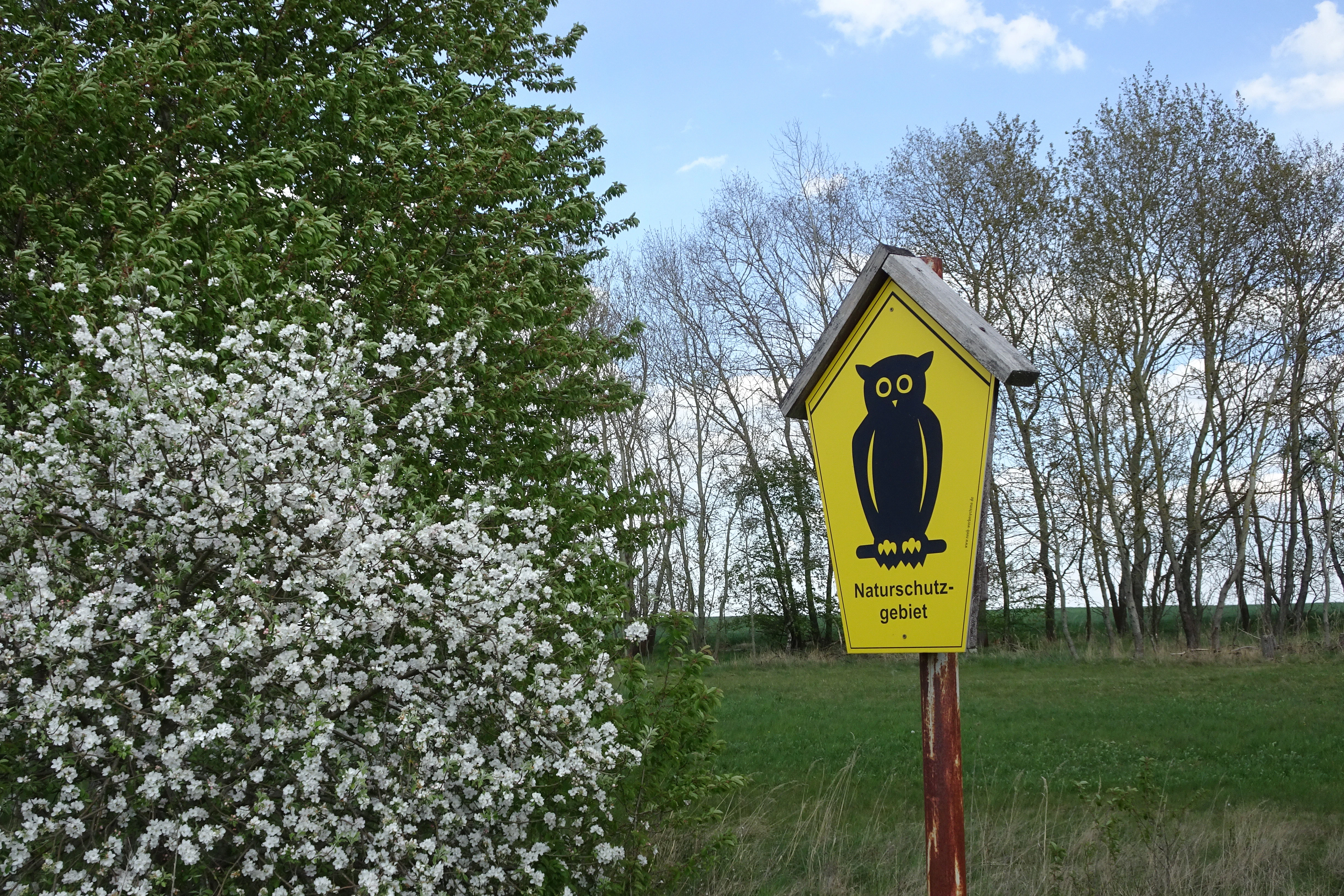
A yellow pentagonal nature reserve sign with a black owl illustration stands in front of a blooming white bush and a line of trees.
A nature reserve sign featuring an owl symbol in the Werraaue bei Berka und Untersuhl.

Werraaue bei Berka und Untersuhl history and protected-area timeline

Until the sixteenth century, the Werra valley around Berka and Untersuhl was covered by extensive floodplain forests. As the population grew and the cultural landscape expanded, these forests were cleared, the floodplain was drained, and the land converted to permanent grassland for hay and pasture.

Between 1850 and 1860 the Werra near Untersuhl was straightened, shortening the river by roughly 1.2 kilometres. The resulting incision of the riverbed reshaped the banks and lowered the groundwater table across the floodplain. From the late nineteenth century until about 1930, the gravel deposits underlying the floodplain were commercially extracted, leaving behind several pit lakes, including the "Baggerloch" still visible today.

After a period of intensive arable use, renaturation of the wet habitats began in 1994. Three early reserves, "Werraaue bei Untersuhl", "Werraaue südwestlich Berka", and "Werraaue östlich Dankmarshausen", were provisionally secured between 1990 and 1995. They were merged and permanently protected on 30 April 1996 by ordinance of the Thuringian State Administration Office in Weimar, creating the 255.8 hectare Naturschutzgebiet "Werraaue bei Berka und Untersuhl".

Since 2020, additional renaturation work has focused on tributaries entering the Werra from the left. Compensatory measures tied to the construction of the Leibis-Lichte drinking water reservoir are being used to restore near-natural meanders and an "Entwicklungskorridor", a dynamic corridor in which streams can re-shape their own beds through lateral erosion, bank collapse, and natural deposition.

Werraaue bei Berka und Untersuhl landscape and geographic character

The Werraaue lies in the Berka basin, a natural region within the Salzunger Werrabergland of the East Hessian Bergland, bordered to the east by the Oberellener and Frauenseer Hügelland. Elevations within the reserve range from about 206 to 231 metres above sea level, producing a strikingly flat, low-relief floodplain.

The topography is shaped by a slow, meandering Werra, by several old oxbow arms that have partially silted into wet slack water and partially been restored, and by flood-relief channels and drainage ditches that trace former river pathways. The most important drainage features today are the Rhedengraben in the north and the Erlichsgraben in the south. Steep banks along stretches of the Werra, often enriched by historical saline discharges from the upstream potash industry, are colonised by nitrophilous tall-herb vegetation.

Alongside open grasslands and reed-edged waterbodies, the reserve preserves small remnants of floodplain woodland and lines of pollarded willows near Untersuhl, which contribute to the structural diversity of the floodplain landscape.
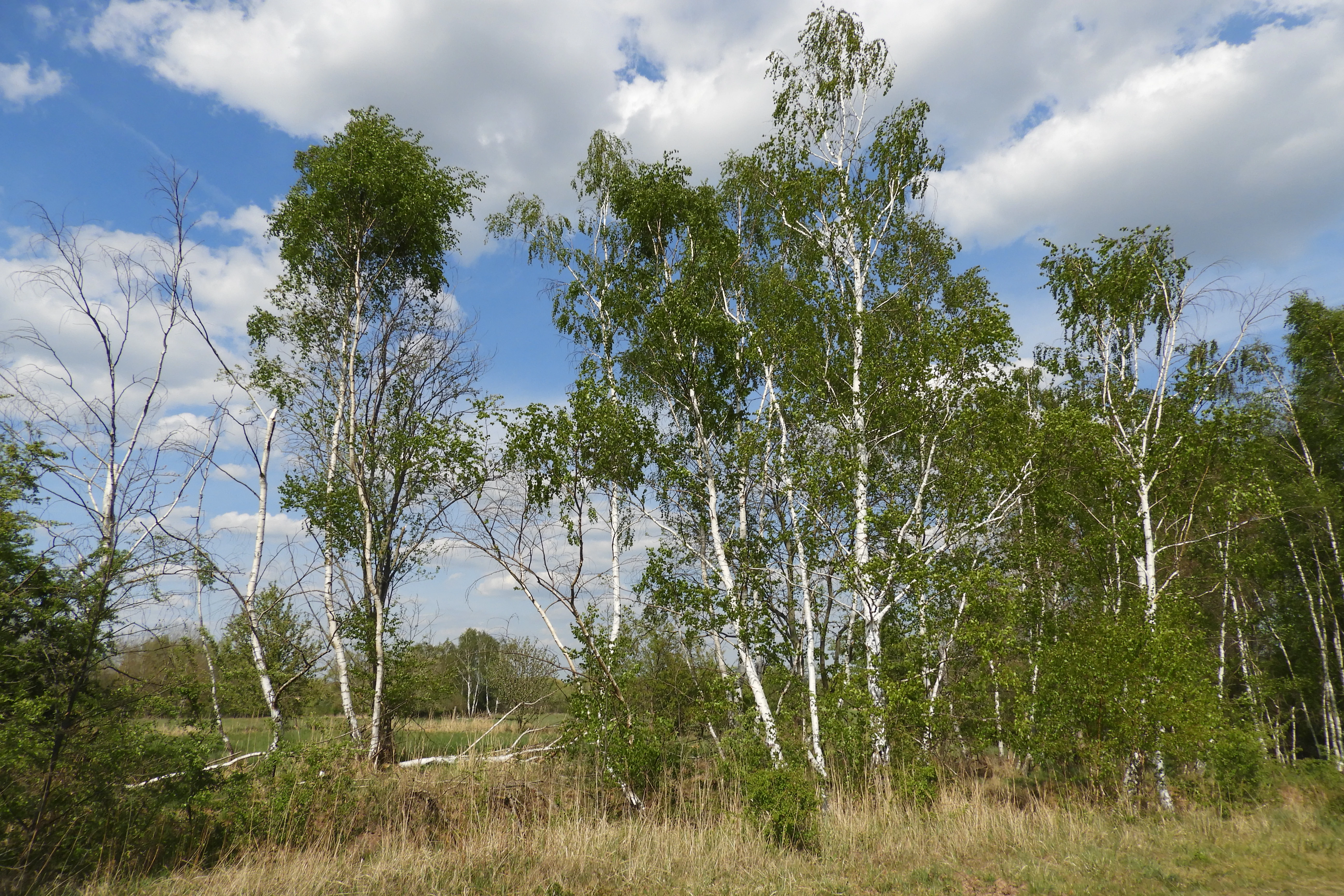
A group of silver birch trees with white bark and green leaves standing in a grassy field under a partly cloudy blue sky.
A group of silver birch trees in the Werraaue bei Berka und Untersuhl nature reserve.

Werraaue bei Berka und Untersuhl ecosystems, habitats, and plant life

Ecologically, the Werraaue combines several distinct floodplain habitat types within a compact area. The most conspicuous habitats are species-poor but flower-rich wet grasslands dominated by ryegrass, fringed by reed beds along the old gravel pits and by flood-meadow communities in the silted oxbow remnants. Steep Werra banks and disturbed areas support tall-herb stands, while the unusual salinity of floodplain sections, inherited from decades of upstream potash industry effluents, has created small inland salt-influenced patches.

These saline patches host distinctive plant communities, including striking occurrences of European glasswort and sea aster, alongside brackish-tolerant species characteristic of inland salt sites. Pollarded willows, residual floodplain forest fragments, and scattered old avenues of trees add structural variety and refuge for many insects, amphibians, and bats.

The mosaic of open grassland, reed, standing water, slow-flowing channels, and woody elements supports an unusually diverse floodplain fauna for central Germany, with both typical wet-grassland species and more specialised wetland and forest-edge species depending on these habitats in close combination.
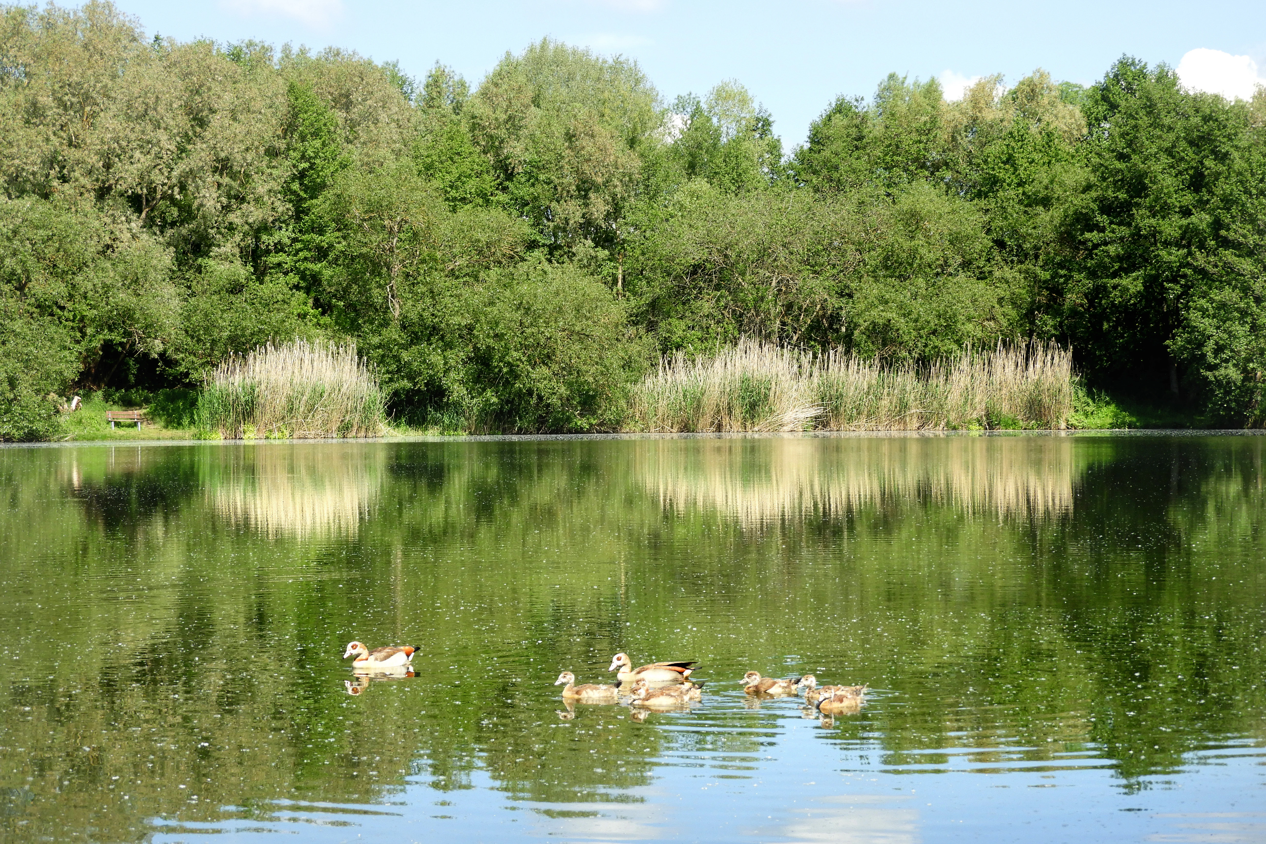
A group of ducks swimming in a calm lake with a lush, green forest and reed beds along the shoreline.
Ducks swimming in the Baggerloch, a wetland habitat in the Werraaue nature reserve.

Werraaue bei Berka und Untersuhl wildlife and species highlights

The reserve is particularly significant for meadow-breeding birds of open farmland, a group that has been heavily affected by agricultural intensification and landscape fragmentation. Breeding species include whinchat, yellow wagtail, water rail, and meadow pipit, with suspected or probable breeding by penduline tit, red-backed shrike, and marsh harrier. White stork regularly uses the floodplain as a feeding area, and kingfisher, red kite, black kite, black stork, and little grebe have all been observed.

The Werraaue is regarded as one of the most valuable meadow bird areas in Thuringia, but many of the species it supports are in decline. Curlew has effectively vanished as a breeder in Thuringia, lapwing and snipe are decreasing sharply, and significant negative trends are documented for tawny pipit, whinchat, grey partridge, great grey shrike, wheatear, and meadow pipit.

Beyond the birds, the wider Werra floodplain is designated under the EU Habitats Directive for populations of bullhead and brook lamprey, plus otter, in the main river; for yellow-bellied toad and northern crested newt in suitable wet habitats; and for a series of bat species, including lesser horseshoe, Bechstein's, Barbastelle, and pond bats, with Bechstein's and Barbastelle recognised as species of national conservation responsibility for Germany.
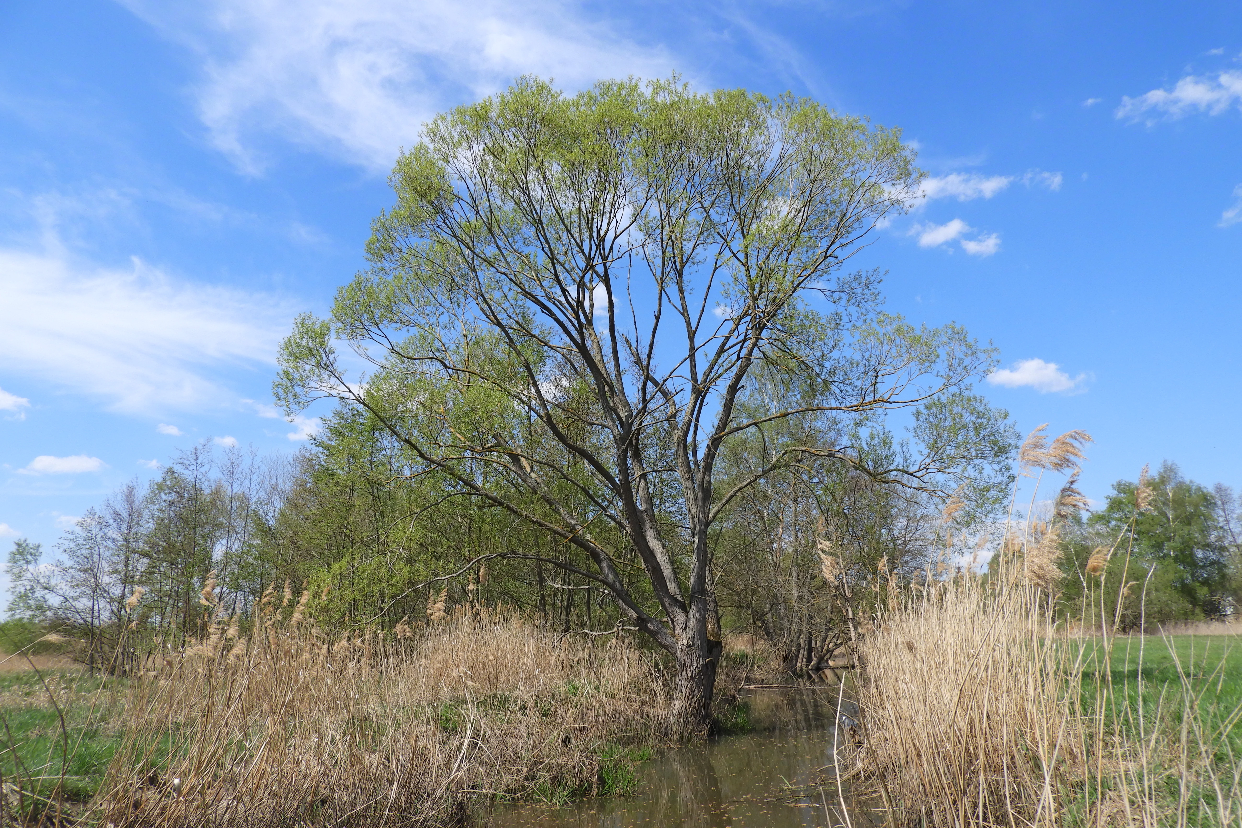
A large tree with fresh green spring foliage stands in the center of a wetland area; tall dry reeds surround the base of the tree and a small stream is visible in the foreground under a blue sky.
A lone tree standing along the wetland bank in the Werraaue nature reserve.

Werraaue bei Berka und Untersuhl conservation status and protection priorities

Werraaue bei Berka und Untersuhl sits at the intersection of multiple overlapping conservation regimes. As a German Naturschutzgebiet it carries the strict protections attached to that designation, including defined protective purposes around preserving near-natural floodplain habitats, securing breeding, feeding, and roosting areas for meadow birds and reed specialists, and maintaining the characteristic open floodplain meadows through extensive grassland use.

At the European level, the site belongs to the Natura 2000 network through both a Flora-Fauna-Habitat area and a Bird Protection Area. The Habitat Directive site seeks to conserve the natural course of the Werra with its notable populations of bullhead and brook lamprey, preserve old arms and standing waters as breeding habitat for amphibians such as yellow-bellied toad and northern crested newt, maintain inland salt-site habitats that support the dark meadow-clover butterfly, and secure critical bat populations.

The Bird Protection Area identifies nearly eighty bird species of conservation interest, several of which are now regionally extinct or critically threatened, including osprey, little crake, common sandpiper, curlew, and black-tailed godwit as extinct; bittern, spotted crake, white stork, little bittern, lapwing, common teal, black-headed gull, great grey shrike, and rook as critically endangered; and corncrake, whinchat, garganey, and wryneck as strongly endangered. Through all these layers the Werraaue also forms a key node in the Green Belt biotope network, declared a National Natural Monument by the Thuringian parliament in 2018 to link fragmented habitats and secure genetic resources across the former inner-German border.

Werraaue bei Berka und Untersuhl cultural meaning and human context

The Werraaue occupies a culturally distinctive position along the former inner-German border, an area that remained largely unbuilt and undeveloped for decades. This borderland status allowed traditional floodplain meadows and old river features to be preserved, while the landscape today also bears visible traces of nineteenth- and twentieth-century gravel extraction and river straightening.

The reserve sits between the Thuringian villages of Berka and Untersuhl and is closely associated with long-established extensive grassland use, including grazing by hardy cattle breeds, that has shaped both the open floodplain character and the rural identity of the Werra valley community. Local trails, information panels, and canoe-friendly sections of the Werra reflect a deliberate effort to make visitors aware of these landscape values without compromising habitat protection.
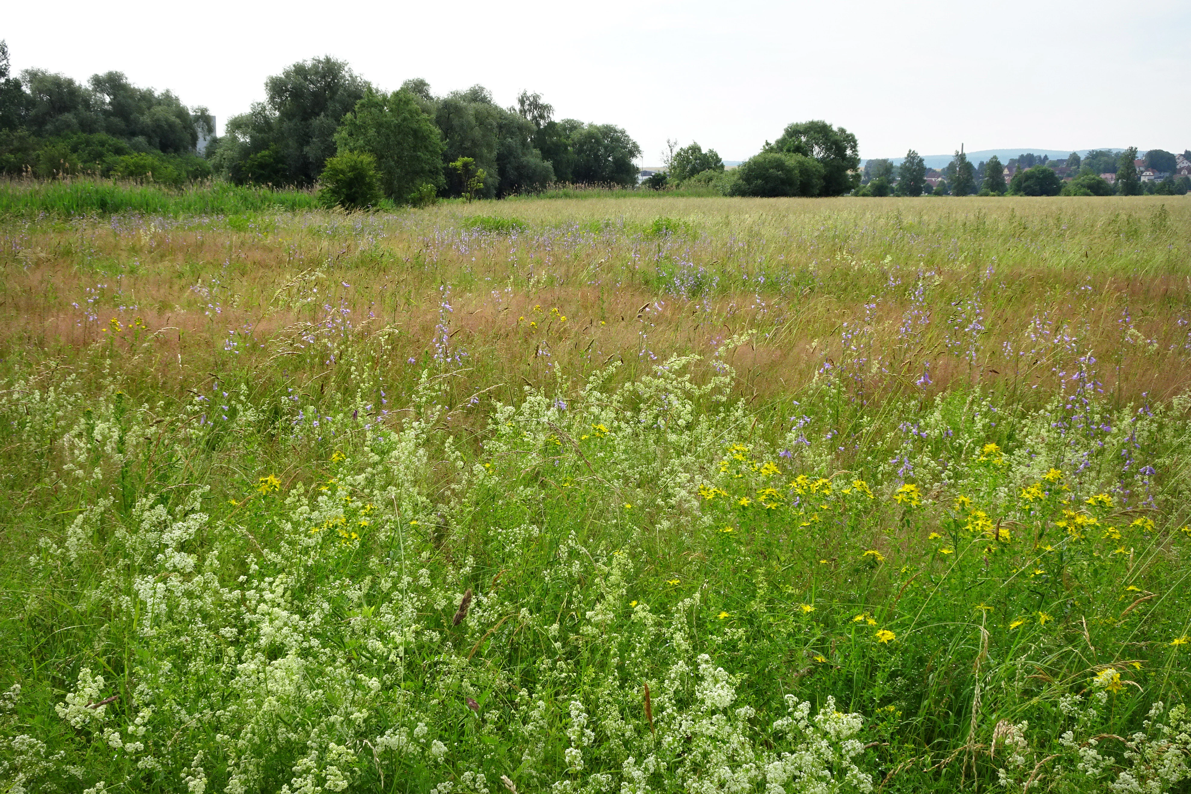
A wide, lush green meadow filled with wildflowers and tall grasses, with a line of trees in the background under an overcast sky.
Wildflower meadow in the Werraaue bei Berka und Untersuhl nature reserve.

Top sights and standout views in Werraaue bei Berka und Untersuhl

The Werraaue's most distinctive quality is the tight coupling of river meanders, oxbow lakes, reed beds, saline-influenced patches, and extensive wet grassland within a single compact reserve. This combination, unusual for central Germany, supports both specialist meadow-breeding birds and a wider floodplain fauna.

A second defining feature is the reserve's role as a connecting node within two larger conservation networks: the Natura 2000 system, through which it links habitat protection for fish, amphibians, and bats across the Werra valley, and the Green Belt biotope network along the former inner-German border, where it functions as a refuge and stepping stone for species that depend on large, unbroken floodplain complexes.

Best time to visit Werraaue bei Berka und Untersuhl

Spring and early summer are the most rewarding periods to visit the Werraaue, when wet meadows are at their richest and breeding birds such as whinchat, yellow wagtail, and meadow pipit are most active. Late spring offers the densest combination of flowering grassland and singing birds, while early morning visits typically provide the best chance to observe more secretive species along the reed-edged oxbows.

Late summer brings dramatic insect activity and expanding reed stands, while autumn can suit visitors interested in migratory waterbirds using the floodplain as a staging area. Mowing and grazing schedules are deliberately late in protected sections to protect ground-nesting birds, meaning the open character of the meadows is most fully visible between late spring and mid-summer before management cuts begin.


Monthly climate preview

Long-term representative monthly temperature and precipitation data patterns

Werraaue bei Berka und Untersuhl Climate Normals and Annual Temperature Rhythm

Historical measurements for Werraaue bei Berka und Untersuhl record average monthly temperatures ranging from sub-zero winter minimums to warm summer maximums alongside stable precipitation rates. Examining the full twelve-month climate profile reveals comprehensive variations across the representative elevation point.
Annual mean8 °C
-1 °C18 °C
Jan-1°
Feb
Mar
Apr
May12°
Jun16°
Jul18°
Aug18°
Sep14°
Oct
Nov
Dec
Warmest month
July

18.3 °C

Coolest month
January

-1.1 °C

Wettest month
July

2.6 mm/day

Driest month
April

1.4 mm/day

Park location guide

Geography guide, regional context, and park location map for Werraaue bei Berka und Untersuhl

Werraaue bei Berka und Untersuhl park geography, regions, and map view in Germany

Understand where Werraaue bei Berka und Untersuhl sits in Germany through a broader geographic reading of the surrounding landscape, nearby location context, and its mapped position within the national park landscape.

How Werraaue bei Berka und Untersuhl fits into Germany

Germany is a federal republic in Western and Central Europe with a population of over 83 million across sixteen constituent states. It is Europe's largest economy by nominal GDP and a major global exporter and importer. The capital is Berlin, and the country borders Denmark, Poland, Czech Republic, Austria, Switzerland, France, Luxembourg, Belgium, and the Netherlands.

Wider geography shaping Werraaue bei Berka und Untersuhl in Germany

Germany is located in Western and Central Europe, spanning 357,022 km². It borders Denmark to the north, Poland and the Czech Republic to the east, Austria and Switzerland to the south, and France, Luxembourg, Belgium, and the Netherlands to the west. The country has coastlines on the Baltic Sea and North Sea to the north, with the Alps located in the southern region.

Map view of Werraaue bei Berka und Untersuhl

Use this park location map to pinpoint Werraaue bei Berka und Untersuhl in Germany, understand its exact geographic position, and read its mapped placement within the surrounding landscape more clearly.

Pigeon | © OpenStreetMap contributors

Location context for Werraaue bei Berka und Untersuhl

Wartburgkreis

Visualizing river meanders, wet grasslands, and protected valley habitats

Werraaue bei Berka und Untersuhl Photos and Floodplain Landscapes

Photographs capture the flat floodplain terrain, meandering river channels, and extensive wet grasslands that define the protected reserve. Visual exploration reveals the diverse habitats, oxbow lakes, and wetland scenery supporting specialized meadow birds across the valley.

A yellow pentagonal nature reserve sign with a black owl illustration stands in front of a blooming white bush and a line of trees.

A line of pollarded willow trees with thick, pruned trunks and dense, bushy green foliage growing from the tops, situated in a green meadow under a blue sky.

A group of silver birch trees with white bark and green leaves standing in a grassy field under a partly cloudy blue sky.

A group of ducks swimming in a calm lake with a lush, green forest and reed beds along the shoreline.

A large tree with fresh green spring foliage stands in the center of a wetland area; tall dry reeds surround the base of the tree and a small stream is visible in the foreground under a blue sky.

A narrow, slow-moving stream winding through dense green riparian vegetation and willow trees.

A wide, lush green meadow filled with wildflowers and tall grasses, with a line of trees in the background under an overcast sky.

Park atlas

Compare regional river landscapes and connected floodplain habitats.

Parks Near Werraaue bei Berka und Untersuhl and Surrounding Protected Areas

Browsing other protected areas near Werraaue bei Berka und Untersuhl reveals neighboring wetland reserves and valley ecosystems across the region. Evaluating adjacent lowland terrain helps connect individual river valleys into broader conservation networks.
Nature reserveThuringia
Mapped location lies within the park boundary#1 closest

Northeast

Werra-Aue zwischen Breitungen und Creuzburg: Protected Floodplain and River Geography

Nature reserve sanctuary in western Thuringia

Spanning over 33 kilometers of the Werra river, this protected floodplain is defined by its distinctive geological sinkholes, seasonal wetlands, and diverse bird habitats. Discover the layered conservation status and riparian terrain that mark this significant Thuringian nature reserve as a crucial node for European ecological connectivity.

Area
25.78 km²
Established
2007
IUCN
IV
Relief
Lowland
Nature reserveThuringia
Mapped location lies within the park boundary#2 closest

Northeast

Werra bis Treffurt mit Zuflüssen: Protected River and Floodplain Network in Thuringia

Mapping an extensive 191 kilometer Natura 2000 river corridor.

The Werra bis Treffurt mit Zuflüssen protected area serves as a vital ecological corridor in Thuringia. This site encompasses a complex mosaic of fast-flowing highland brooks, expansive floodplain meadows, inland salt sites, and rare dissolution lakes. Its geography bridges high-altitude source regions with lower river valleys, creating a distinctive landscape transect that supports essential freshwater habitats and rare aquatic species across the state.

Area
22.6 km²
Established
2008
IUCN
IV
Relief
Mixed relief
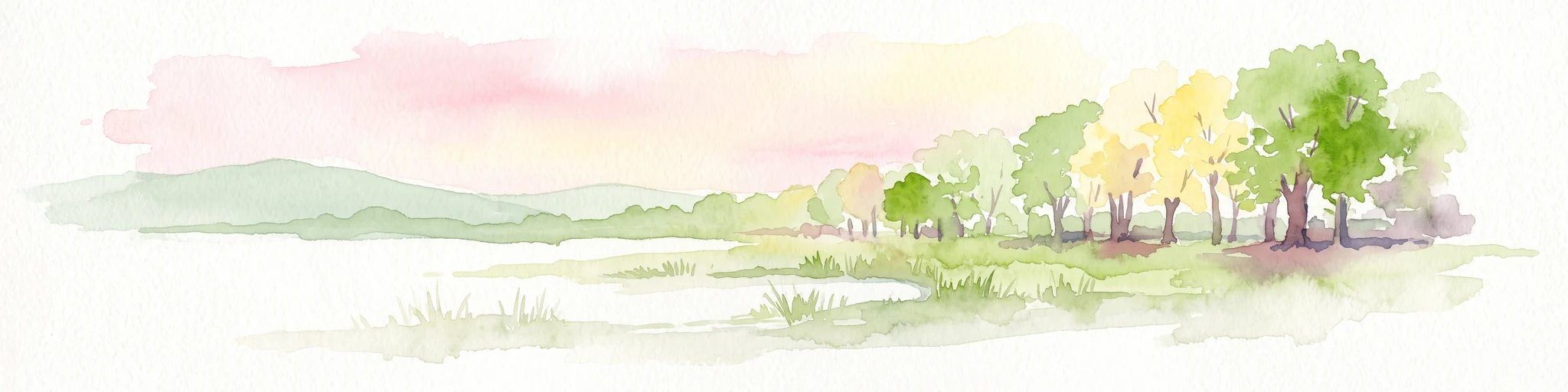
A soft watercolor illustration of a wetland landscape featuring trees, green grasses, a small pond, and distant rolling hills against a pale pink sky.
Nature reserveHesse
About 0.5 km away#3 closest

North

Obersuhler Aue Protected Meadow Complex and Werra Valley Geographic Mapping

Expansive floodplain ecosystems and conservation corridors in Hesse

Obersuhler Aue comprises a vital lowland meadow system that spans the Werra valley floor. The area is characterized by its open, unfragmented grassland terrain, which serves as a landmark site for biodiversity within the Hessian Green Belt. From historic linden avenues to seasonally flooded reedbeds, the landscape provides essential habitat continuity across the regional basin.

Area
0.679 km²
Established
1990
IUCN
IV
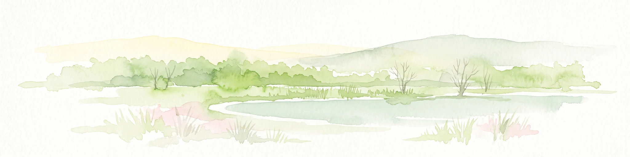
A soft watercolor illustration of a calm pond surrounded by green vegetation and rolling hills in the background.
Nature reserveWartburgkreis
About 2 km away#4 closest

West

Dankmarshäuser Rhäden: Protected Wetland Reserve and Mapped Floodplain in Wartburgkreis

Restored basin landscape along the historic Green Belt corridor.

Dankmarshäuser Rhäden comprises a complex wetland mosaic in the Wartburgkreis district. This nature reserve, characterized by shallow subsidence basins and active floodplain management, represents a critical migratory bird sanctuary and a key component of the protected Green Belt. The area reveals a history of land-use transition, from agricultural depression to a functional, water-managed ecosystem supporting diverse meadow-nesting and migratory bird populations.

Area
1.217 km²
Established
1995
IUCN
IV
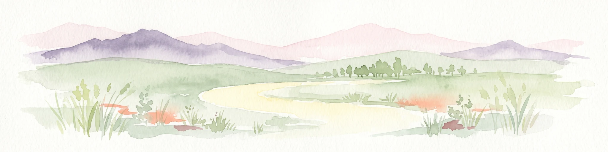
A soft watercolor illustration depicting a flat green wetland landscape with a winding river and distant rolling hills under a pale sky.
Nature reserveHesse
About 2.6 km away#5 closest

West

Rhäden bei Obersuhl und Bosserode: Nature Reserve and Wetland Mosaic in Northern Hesse

A restored floodplain landscape in the Werra valley

Rhäden bei Obersuhl und Bosserode represents a significant subsidence basin restored from agricultural land into a thriving wetland. This protected nature reserve in Hesse features a structured mosaic of ponds, reedbeds, and wet meadows, serving as a primary regional site for bird migration and habitat conservation within the Werra valley geography.

Area
1.204 km²
Established
1973
IUCN
IV
Relief
Lowland
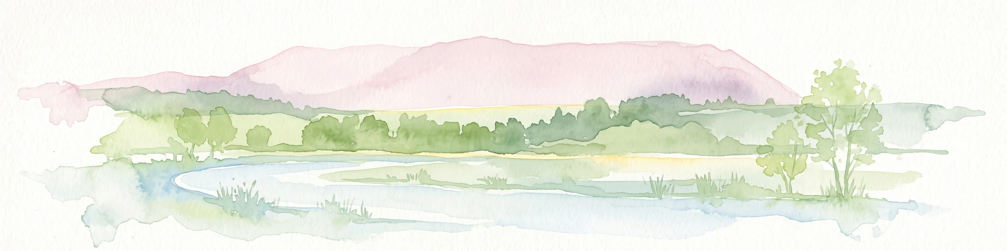
A soft watercolor illustration of a wetland scene with light blue water in the foreground, green trees in the midground, and soft pink hills in the background.
Nature reserveHessen
About 3.7 km away#6 closest

Southwest

Rohrlache von Heringen Protected Area and Werra Valley Wetland Geography

Nature reserve featuring rare saline meadows and alluvial terrain

Rohrlache von Heringen stands as the largest inland saline site in Hesse. This protected area preserves a rare ecosystem of salt-tolerant flora and vital breeding grounds for waterbirds, shaped by both natural Zechstein geology and long-term industrial influences along the Werra river floodplain.

Area
0.765 km²
Established
1979
IUCN
IV
Relief
Lowland
A horizontal watercolor illustration of a gentle, rolling landscape with green trees, meadow grass, and distant hills under a light blue sky.
Nature reserveWartburgkreis
About 5.8 km away#7 closest

Northeast

Alte Werra Nature Reserve: Floodplain Geography and Protected Meadow Landscapes in Wartburgkreis

Essential river valley habitats and Natura 2000 protected areas.

Alte Werra serves as a critical protected landscape in the Wartburgkreis district of Germany. Centered on the Middle Werra valley, this 258 hectare nature reserve protects unique floodplain terrain including oxbow remnants, the Böllerteiche ponds, and diverse wet grassland habitats. The site remains a key reference point for studying riverine geomorphology and protected bird corridors in the Thuringia region.

Area
2.578 km²
Established
1996
IUCN
IV
Relief
Lowland
A horizontal watercolor painting showing a soft landscape with green meadows, trees, a winding stream, and distant rolling hills in a light, atmospheric style.
Nature reserveHessen
About 6.2 km away#8 closest

West

Säulingssee Nature Reserve: Atlas Overview of this Hessen Protected Wetland Basin

Mapped geography and landscape context of a unique German reserve

Säulingssee serves as an important nature reserve within the Werra valley region of Hessen. This former lake basin now acts as a sophisticated wetland complex featuring subrosion-driven pools, reedbeds, and varied meadow habitats. As part of the Natura 2000 network and the Grünes Band Hessen corridor, the area offers a significant case study for conservation grazing and the restoration of endangered aquatic plants within Germany.

Area
0.214 km²
Established
1984
IUCN
IV
Relief
Lowland

Common questions about visiting, size, designation, and location context for Werraaue bei Berka und Untersuhl

Werraaue bei Berka und Untersuhl FAQs for park facts, access, geography, and protected area context

Find quick answers about Werraaue bei Berka und Untersuhl, including protected-area facts, park geography, trail and visitor context, and how the park fits into its surrounding country and regional landscape.
MoriAtlas Explorer

Continue Your Protected Areas Search Across the Global Atlas

Deepen your exploration by continuing the structured search for national parks and protected areas worldwide. Utilize the comprehensive filtering capabilities to compare different conservation landscapes and refine your understanding of global park geography. Discover more about the distribution and characteristics of protected natural areas.

Global natural geography