
Mori Atlas logo
Park guides

Focused insights for planning visits to the subterranean chambers and prairie terrain

Expertly Curated Guides for Exploring the Landscape of Wind Cave National Park

Explore the collection of available guides dedicated to Wind Cave National Park. These resources cover essential themes such as seasonal planning, helping to navigate the unique characteristics of the cave system and the surrounding mixed grass prairie in South Dakota.

Related tags

Cave SystemMixed Grass PrairieBoxwork FormationsGeological WonderBreathing Cave

World's first cave national park protecting a rare breathing cave system and the largest remaining mixed grass prairie in the United States

Wind Cave National Park

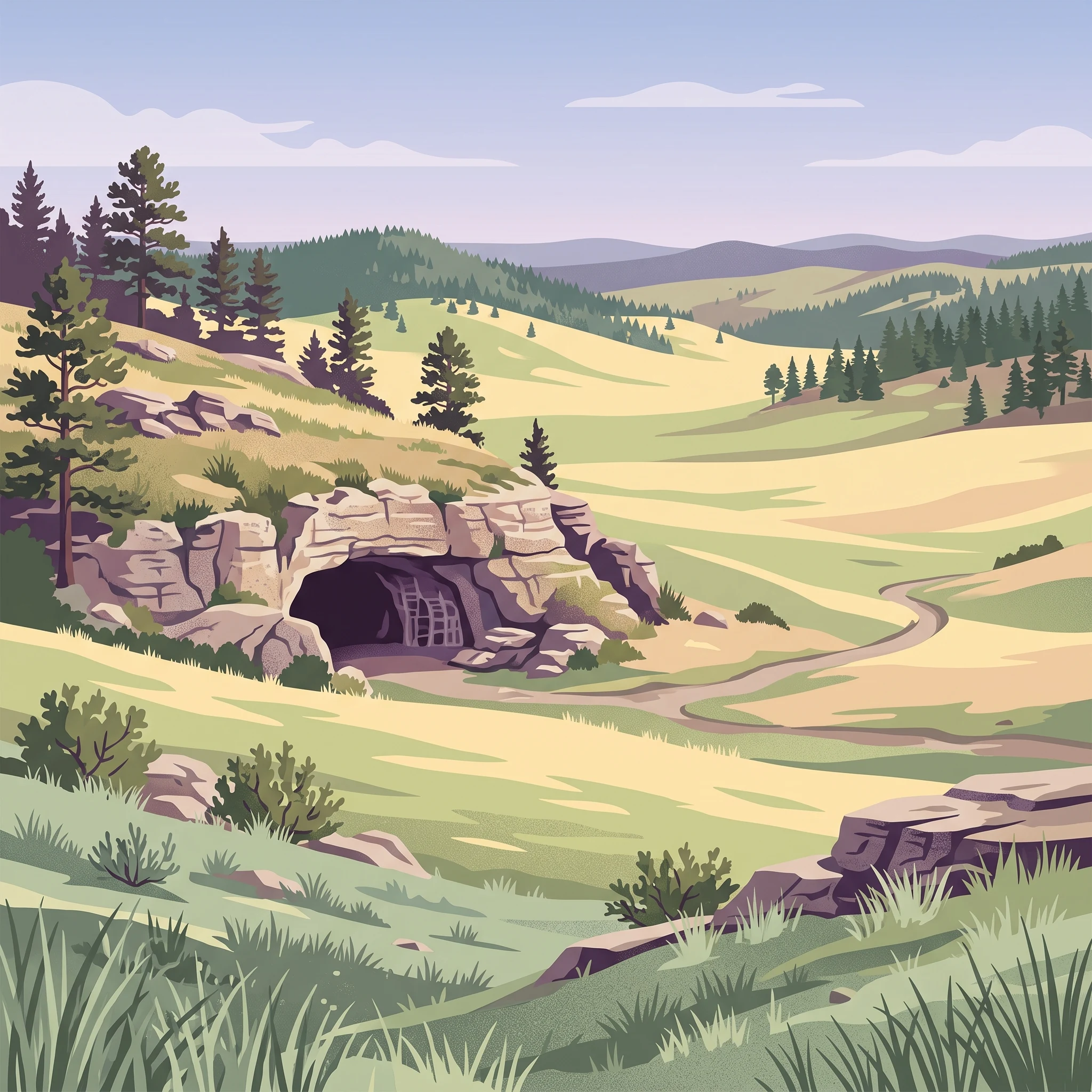
Wind Cave National Park occupies a distinctive place in American conservation history as the first cave to receive national park status and one of the earliest protected areas in the national park system. The park's dual character above and below ground creates a remarkable conservation portfolio, combining significant geological resources with one of the last remaining examples of Great Plains grassland ecosystem. The cave system itself represents a geological wonder, having formed over millions of years through the dissolution of Mississippian limestone and subsequent deposition of various sedimentary layers. The park's surface lands preserve a prairie ecosystem that has become increasingly rare in North America, with the mixed grass prairie representing a transition between the shortgrass plains to the west and the tallgrass prairies to the east. This ecological diversity supports a remarkable array of wildlife species, from large mammals like bison and elk to smaller creatures like prairie dogs and black-footed ferrets. The park's proximity to other significant Black Hills destinations, including Jewel Cave National Monument, Custer State Park, and Mount Rushmore, makes it a central feature of the region's conservation landscape.

Location
United States of America
Park type
National park
Established
1903
Area
137 km²
Wind Cave National Park Geography
1 guide

Compare available seasonal planning resources and targeted destination topics

Published Reference Guides for Wind Cave National Park

Browse the complete collection of published reference guides dedicated to Wind Cave National Park for detailed topic-led coverage. Review the seasonal planning materials to evaluate surface hiking conditions, underground cave tour operations, and regional weather patterns.
MoriAtlas Explorer

Continue Your Atlas Exploration of Wind Cave National Park's Geography

Deepen your understanding of Wind Cave National Park's protected landscape by exploring its detailed geographic features and mapped boundaries. This national park serves as a vital entry point for appreciating the regional atlas and natural terrain of Custer County. Continue to uncover the specific landscape identity and geographic context that defines this significant protected area within the United States.

Global natural geography