
Why Wolfsschlucht stands out
Wolfsschlucht is best known for its dramatic, narrow limestone gorge cut into the Upper Massenkalk of the Swabian Alb. The defining feature is the combination of densely wooded ravine forest, large blocks of broken limestone, and numerous open rock outcrops that line the deeply incised valley. The site also provides a compact example of how a very small landscape protection area can fit within a much larger mosaic of European and biosphere reserve designations on the central Swabian Alb.
Wolfsschlucht history and protected-area timeline
The Wolfsschlucht was formally designated as a landscape protection area on 31 May 1955 by the Landratsamt Münsingen through a public ordinance. This establishment came at a time when many German states were actively cataloguing and protecting characteristic landscape elements, including small-scale geological and forest features that held ecological, scenic, or scientific value. The site was placed under the legal framework of the Landschaftsschutzgebiet category, a designation used in Germany to protect natural and semi-natural landscapes outside of nature reserves.
Administrative responsibility for the area passed to the Landratsamt Reutlingen following changes in district boundaries in the region. Over time, the site's significance was reinforced through inclusion in larger conservation frameworks: it was included in the FFH (Flora-Fauna-Habitat) site known as the Uracher Talspinne, recognized within the bird protection area Mittlere Schwäbische Alb, and placed inside the care zone of the Schwäbische Alb Biosphere Reserve. The Wolfschluchtfelsen outcrops were additionally registered as a protected geotope, formally recognizing their value as geological heritage. These layered designations reflect an evolving conservation history in which a small, locally established protected area became embedded in regional, European, and biosphere-level conservation planning.
Wolfsschlucht landscape and geographic character
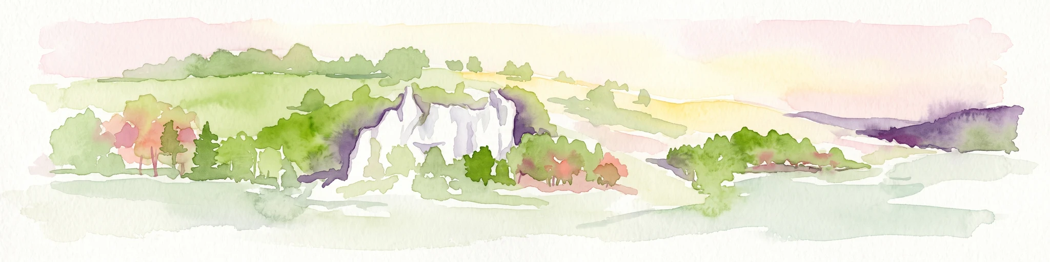
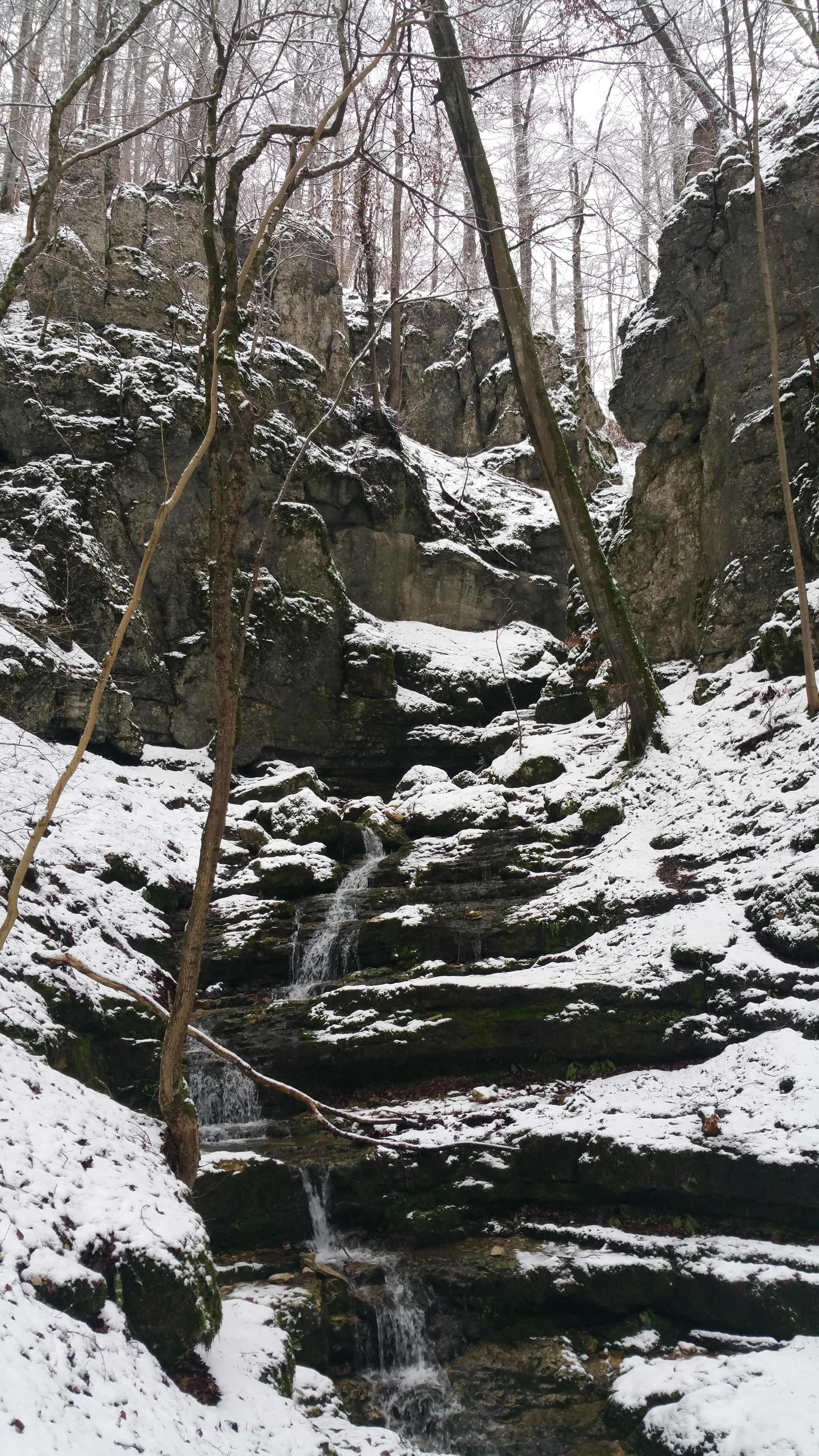
The landscape of the Wolfsschlucht is dominated by a narrow, steep-sided gorge cut into the Upper Massenkalk, a massive Jurassic limestone that forms much of the Swabian Alb. The valley is unusually deep for such a small stream system, producing tall side walls and a strongly enclosed valley floor. Exposed limestone faces rise along the path of the Wittlinger Bach, where weathering, frost action, and ancient tectonic stresses have broken the bedrock into crags, ledges, and boulder accumulations. Open rock formations are scattered throughout the valley rather than concentrated in a single cliff band, creating a visually varied gorge where tree cover repeatedly opens to reveal limestone outcrops.
Above the gorge, the surrounding plateau belongs to the Mittlere Kuppenalb, a natural area characterized by rounded karst hills and shallow depressions. While the plateau itself is largely cleared for agriculture, the valley walls of the Wolfsschlucht remain forested, maintaining a continuous wooded corridor along the stream course. The combination of steep valley relief, dense forest cover, limestone geology, and intricate rock formations gives the protected area a sense of depth and ruggedness that contrasts with the more open landscapes of the surrounding Alb plateau.
Wolfsschlucht ecosystems, habitats, and plant life
The Wolfsschlucht is shaped ecologically as a block and ravine forest, a habitat type defined by deep-shade conditions, steep terrain, coarse boulder cover, and a high proportion of undisturbed woodland. The gorge-like microclimate supports moisture-loving species that thrive in cool, sheltered conditions, often quite different from those found on the drier, sun-exposed plateau above. Fallen boulders and fragmented limestone create a complex forest floor with many small-scale niches for plants, mosses, lichens, and invertebrates.
Because the valley is so steep and so shaded, the woodland here has a notably wild character compared to the more managed forests of the broader Swabian Alb. The forest continues along the Wittlinger Bach corridor, linking the gorge to a longer network of wooded valleys that connect forest patches across the landscape. This continuity matters ecologically, as it allows less mobile woodland species to move between habitat islands otherwise separated by open farmland on the plateau.
Wolfsschlucht conservation status and protection priorities
Although small in scale, the Wolfsschlucht carries a notably dense set of conservation designations that together elevate its significance well beyond its hectare count. As a landscape protection area, it provides legal protection against landscape-altering changes within its boundary and helps preserve a representative example of a Swabian Alb gorge forest. The Wolfschluchtfelsen outcrops are officially recorded as a protected geotope, emphasizing their value as evidence of Jurassic limestone landforms and karst processes.
At a regional and European level, the Wolfsschlucht is included in the FFH site Uracher Talspinne, contributing to the protection of habitat types and species listed under the EU Habitats Directive. It also falls within the bird protection area Mittlere Schwäbische Alb, supporting migratory and resident bird populations across a broader landscape context. Most broadly, the site lies inside the care zone of the Schwäbische Alb UNESCO Biosphere Reserve, a designation that recognizes the area as part of a balanced cultural and ecological landscape. Together these layers reflect a landscape conservation philosophy in which even very small sites are valued as integral pieces of a larger, interconnected ecological network.
Wolfsschlucht cultural meaning and human context
The Wolfsschlucht sits within a long-inhabited part of the Swabian Alb where valleys and streams have shaped settlement patterns for centuries. The Wittlinger Bach valley, in which the gorge lies, has historically been part of the working agricultural landscape used by the surrounding communities of Bad Urach and Wittlingen. While the protected area itself is small, the trail through the gorge forms part of a broader tradition of walking and hiking routes on the Swabian Alb, a region known for its dense network of footpaths linking towns, farms, geological curiosities, and scenic gorges. The protected area reflects a regional cultural commitment to preserving characteristic local landscapes alongside the more dramatic geological features that draw visitors to the area.
Top sights and standout views in Wolfsschlucht
The Wolfsschlucht's strongest distinguishing quality is the density of its layered conservation designations relative to its tiny footprint. Within just 1.4 hectares, the site simultaneously functions as a state-level landscape protection area, hosts a recognized geotope, contributes to an EU Habitats Directive site and bird protection area, and sits inside a UNESCO Biosphere Reserve. Combined with the visible drama of the limestone gorge and its continuous ravine forest, the site offers a compact but unusually representative snapshot of the geological and ecological identity of the central Swabian Alb.
Best time to visit Wolfsschlucht
The Wolfsschlucht can be visited comfortably throughout much of the year, with each season offering a different experience. Spring brings fresh green foliage and active stream flow in the Wittlinger Bach, softening the gorge with new growth. Summer visits are shaded and cool, since the steep valley walls and dense forest cover keep temperatures noticeably lower than on the surrounding plateau. After the leaf fall in autumn, the rock outcrops of the Upper Massenkalk become more visible, drawing attention to the gorge's geological structure. Winter can bring snow into the sheltered valley, creating a quiet, enclosed atmosphere, though visitors should expect potentially slippery conditions on the rock-strewn trail. Because of its small size and the short, contained nature of the walk, the Wolfsschlucht works well as a brief visit rather than a full-day destination.