
Mori Atlas logo
Nature reserveWupper und Wupperhänge südlich Müngsten

A deep look at the steep forest slopes, rock ravines, and river valleys within this German nature reserve

Wupper und Wupperhänge südlich Müngsten Protected Area and Bergisches Land River Geography

(Naturschutzgebiet Wupper und Wupperhänge südlich Müngsten)

Wupper und Wupperhänge südlich Müngsten represents a significant protected area in the Remscheid region of Nordrhein-Westfalen. Spanning over 144 hectares, the terrain comprises dramatic incised ravines, steep slate slopes, and near-natural deciduous forests along the Wupper river. This reserve serves as a vital corridor for riparian ecosystems, harboring diverse spring-fed brooks and ancient beech-oak woodland structures.

nature reservedeciduous forestriver valleyWupper valleylow mountain landscaperocky cliffs
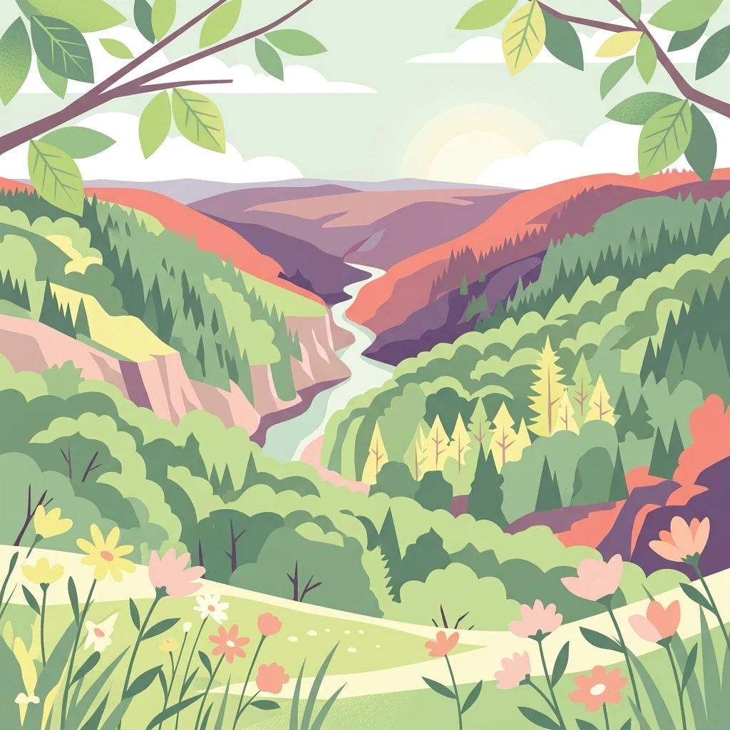
A flat-design illustration of a winding river flowing through a lush valley with steep, forested slopes and a field of colorful flowers in the foreground.

Wupper und Wupperhänge südlich Müngsten

Nature reserve

Park overview

Structured park overview, official facts, and landscape profile for Wupper und Wupperhänge südlich Müngsten

Wupper und Wupperhänge südlich Müngsten park facts, protected area profile, and essential visitor context

Review the core facts for Wupper und Wupperhänge südlich Müngsten, including designation, size, terrain, visitor scale, habitats, and operating context in one park-focused overview.

About Wupper und Wupperhänge südlich Müngsten

Wupper und Wupperhänge südlich Müngsten is one of the most characteristic protected valley-forest sites in the Remscheid area of the Bergisches Land, the rolling low mountain region east of the Rhine in North Rhine-Westphalia. The reserve sits in the lower Wupper valley, where the river has cut deep, narrow sections into the bedrock over geological time, producing steep slopes, rock outcrops, and tightly incised side valleys.

The protected area extends southwest of the Remscheid city center and southwest of Güldenwerth, with the Wupper flowing along its western edge, the federal road B 229 passing along the northwest, and the state road L 157 running to the east. Within the area, the Müngsten railway bridge crosses the landscape, a quiet reminder that this protected valley lies within an industrial heritage region. To the south, the reserve extends to the city boundary with Solingen, where neighbor reserves continue the valley protection further downstream.

Although it is relatively small and lies within a densely populated region of Germany, the reserve contains a remarkable mosaic of habitats. The closed deciduous forest cover, the rocky cliffs, the spring seepage zones, and the Wupper river with its steep banks and small islands together create an ecologically rich corridor. The 2003 designation under the North Rhine-Westphalian nature conservation framework, combined with its inclusion in the EU Natura 2000 network, underscores the area's significance beyond local park boundaries.

The valley's biological value is particularly tied to the connectivity of forest, rock, and flowing water. In well-developed sections, the Wupper carries water of moderate quality, while the tributary brooks remain near-natural, fed by stable springs. Where they meet the main river, small cascades drop over moss-covered rocks, and in places, larger flood cascades of up to three meters form. The reserve is therefore not only a scenic nature site but also a functioning example of a low mountain river ecosystem in a central European context.

Quick facts and research context for Wupper und Wupperhänge südlich Müngsten

Wupper und Wupperhänge südlich Müngsten is a 144.3 hectare nature reserve on the southwestern edge of Remscheid in the German state of North Rhine-Westphalia. Designated in 2003, it lies along the Wupper river south of the Müngsten Bridge, where forested hillslopes fall steeply toward the valley.

The reserve forms an IUCN Category IV Habitat/Species Management Area and is also part of the European Natura 2000 network as the FFH site DE-4808-301. Its elevations range from about 106 to 250 meters above sea level, and the terrain consists of steep, rocky valley slopes crossed by numerous small spring brooks. It is managed under the Remscheid landscape plan by the city's lower landscape authority (Untere Landschaftsbehörde).

Protection and recognition

Explore documented protected area records and official registry details for Wupper und Wupperhänge südlich Müngsten

Wupper und Wupperhänge südlich Müngsten Protection Status and Registry Data

Examine the registered conservation parameters and baseline protection records associated with Wupper und Wupperhänge südlich Müngsten. Review verified database entries and official geographic identifiers structured for conservation research.

Protection details

WDPA ID
319358
Park context

Deeper park guide and search-rich context for Wupper und Wupperhänge südlich Müngsten

Wupper und Wupperhänge südlich Müngsten history, landscape, wildlife, and travel context

Explore Wupper und Wupperhänge südlich Müngsten through its history, landscape character, ecosystems, wildlife, conservation priorities, cultural context, and seasonal travel timing in a structured park guide built for atlas discovery and search intent.

Why Wupper und Wupperhänge südlich Müngsten stands out

The reserve is best known for protecting a steep, near-natural section of the Wupper river valley, including old oak-hornbeam forests on the lower slopes, Hainzsimsen-Beech forests on the ridges, and a series of rocky cliffs and spring-fed ravines. The narrow, fast-flowing spring brooks, plunging into the Wupper over mossy rock cascades, are a defining feature. The protected river and forest system also supports characteristic species such as bullhead (Groppe), brook lamprey (Bachneunauge), kingfisher (Eisvogel), black woodpecker (Schwarzspecht), eagle owl (Uhu), and fire salamander (Feuersalamander). Because it lies directly below the Müngsten Bridge, the reserve is also valued for the dramatic backdrop it provides to that landmark crossing, blending industrial heritage with intact valley forest and rocky cliffs.
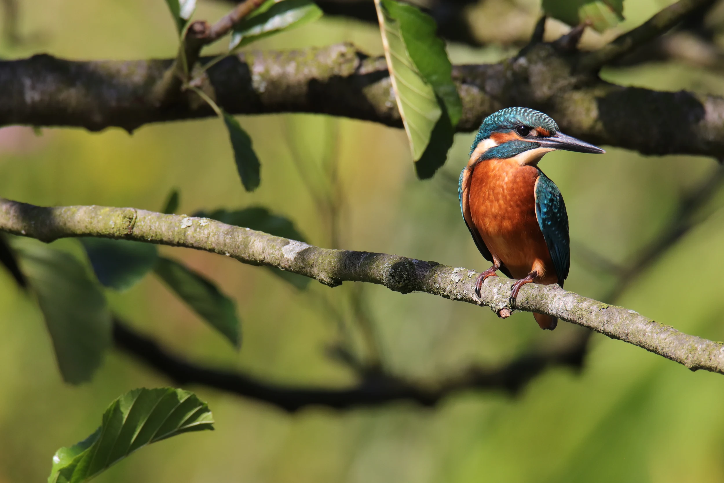
A common kingfisher with bright blue and orange plumage perched on a bare tree branch against a soft green out of focus background.
A common kingfisher perched on a branch within the riverine forest.

Wupper und Wupperhänge südlich Müngsten history and protected-area timeline

The valley landscape of the Wupper around Remscheid has been shaped for centuries by its location within the historic Bergisches Land, where small-scale farming, milling, and later industrial activity followed the river. The Müngsten Bridge, completed in the late nineteenth century as a major railway crossing, became a defining landmark over this section of the valley. Until the early twenty-first century, however, the steep slopes below the bridge had no dedicated conservation status.

In 2003, the area was formally placed under nature protection under the North Rhine-Westphalian designation system, receiving the key number RS-019. The designation was prepared under the city's landscape plan (Landschaftsplan Remscheid) and assigned to the lower landscape authority of Remscheid as the managing body. The reserve is now also part of the European Natura 2000 network, registered as the FFH site DE-4808-301.

Since 2010, the narrow wetland meadow near the Schildsiepen stream has been managed by extensive grazing with hardy cattle, an attempt to counteract the spread of invasive neophytes such as Himalayan balsam and Japanese knotweed that have been increasingly colonizing disturbed sections of the valley. The reserve continues to function as a key piece of the larger protected Wupper valley system extending into neighboring Solingen and Leichlingen.

Wupper und Wupperhänge südlich Müngsten landscape and geographic character

The reserve is dominated by a roughly 2.8 kilometer section of Wupper valley characterized by steep, west- to northwest-facing slopes. The hillsides slope at 30 to 60 degrees and are densely wooded, while rocky cliffs, outcrops, and exposed rock faces of local Tonschiefer (slate) break the canopy along the ridges and at breaks in slope. Seven largely near-natural spring valleys cut down from the plateau into the Wupper, producing deeply incised ravines called Siepen in the local tradition.

The Wupper itself flows along the western boundary of the reserve and the city, with steep banks, local gravel banks, and a few small islands. River water quality in this reach is moderate. Each tributary travels only 250 to 1000 meters from its spring before joining the main river, often via a series of cascades. Near the mouths of some brooks, notably Ohlsiepen and the Reinshagener Bach, waterfalls of up to three meters plunge over mossy rock drops. Other brooks run over gravelly and stony beds with moss-covered boulders, sometimes forming shallow meanders, while sections of the Schildsiepen upper course have been cut deeply into the bed by hydraulic pressure and were straightened at the base near the railway embankment.

Along the river, mature oak-hornbeam forests with rich understories cover the lower slopes. On the flatter, shallower ridges between the valleys, poorer birch-oak forest, birch shrub woodland, and open high-canopy beech-oak stands dominate, with ground layers of wavy hair grass, blueberry, wood sage, and Luzula species. The upper Schildsiepen area contains a narrow, once species-rich wet meadow now largely overrun by neophytes and managed since 2010 by extensive grazing.
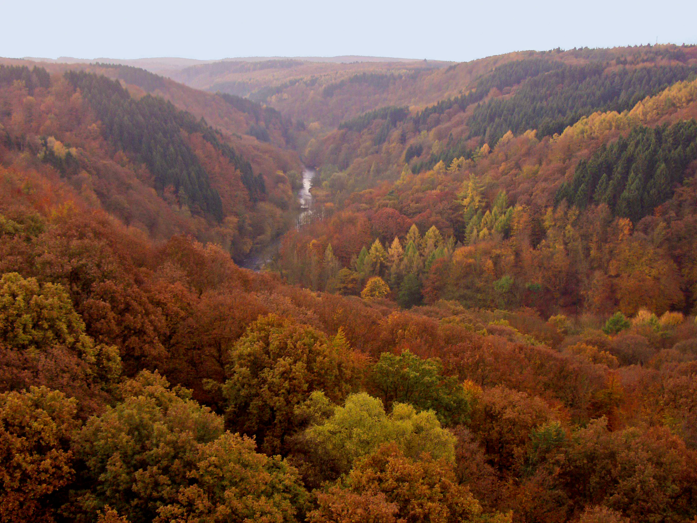
A wide, elevated view looking into a valley filled with dense forest displaying autumn colors of orange, red, and yellow, with the Wupper river visible as a thin strip winding through the center.
Autumnal view of the forested Wupper river valley as seen from the Müngstener Brücke.

Wupper und Wupperhänge südlich Müngsten ecosystems, habitats, and plant life

Ecologically, the reserve is best understood as a connected habitat mosaic on a steep low mountain valley slope. The lower slopes near the Wupper carry well-developed, partly very old oak-hornbeam forests with demanding shrub and herb layers, while mid-slope ravines support oak-hornbeam or beech-oak forests reaching down to the streams. The ridges between valleys host beech-oak high forest and, in some places, structurally rich old beech stands.

Springs and seepage areas are particularly important here. Several brooks carry Milzkraut and Winkelseggen spring communities, and along the streams, narrow bands of high-stature herb vegetation (Hochstaudenfluren) appear, including meadowsweet-dominated stands. Rocky outcrops support thermophilous and dry-loving vegetation on shallow soils, while the flat ridges bear acid-loving bilberry and wavy hair grass communities. In the ravines of Schildsiepen, Schildbuschbach, and Reinshagener Bach, the valley floors are sometimes planted with pole-stage deciduous forests of sycamore maple, ash, alder, and poplar, with occasional spruce or larch stands.

Disturbance-tolerant neophytes, particularly Himalayan balsam (Impatiens glandulifera) and Japanese knotweed (Fallopia japonica), are increasingly altering the understory near the river and in disturbed wet zones, an ongoing management challenge the reserve is actively addressing.
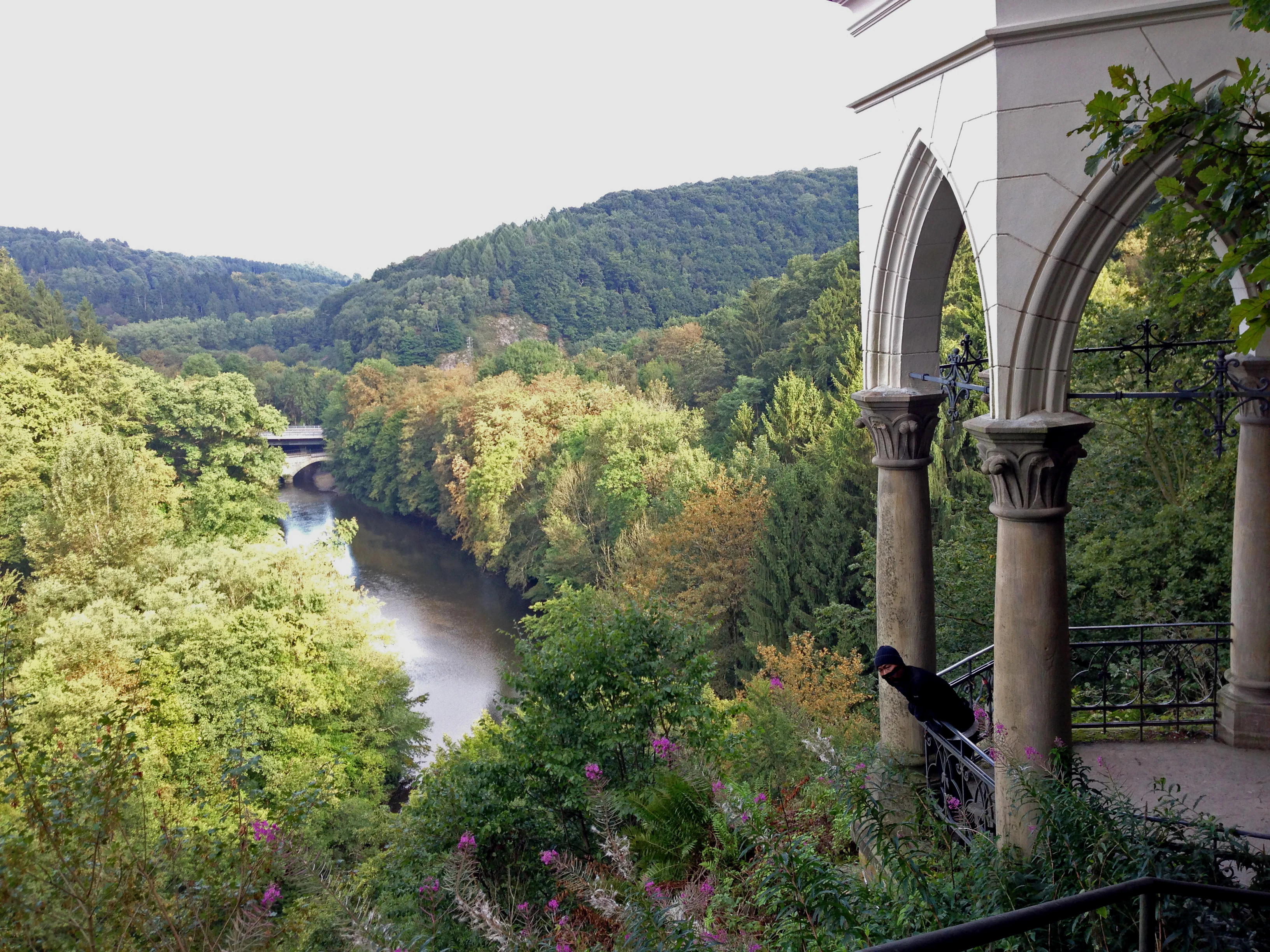
A stone pavilion with arched pillars overlooks a forested valley and a river flowing through the center, with a small bridge visible in the distance.
View of the Wupper valley from the historic Diederichstempel pavilion.

Wupper und Wupperhänge südlich Müngsten wildlife and species highlights

The Wupper and its tributaries here are especially significant for aquatic and stream-dependent species. The reserve lists the bullhead (Cottus gobio), the brook lamprey (Lampetra planeri), and the river lamprey as conservation targets because the connected, near-natural stream system provides habitats for these sensitive fish. The streams and their mossy banks, including the flood cascades of Ohlsiepen and Reinshagener Bach, also support freshwater fauna adapted to cold, fast-moving, oxygen-rich water.

Birds are well represented in the reserve. The kingfisher (Alcedo atthis) hunts along the Wupper, the black woodpecker (Dryocopus martius) uses the older beech and oak forests, and the eagle owl (Uhu) has returned to the rocky cliffs above the river. The tawny owl (Strix aluco) is also present in the wooded valleys. Damp, partially shaded streambanks host dragonflies such as the beautiful demoiselle (Calopteryx virgo).

In the humid, shaded forest ravines, the fire salamander (Salamandra salamandra) finds stable conditions in the cool, moist microclimate near the spring brooks and rocky seeps. Together, these species underline the ecological value of the rocky cliffs, the near-natural forest, and the unbroken stream network as a single connected habitat.
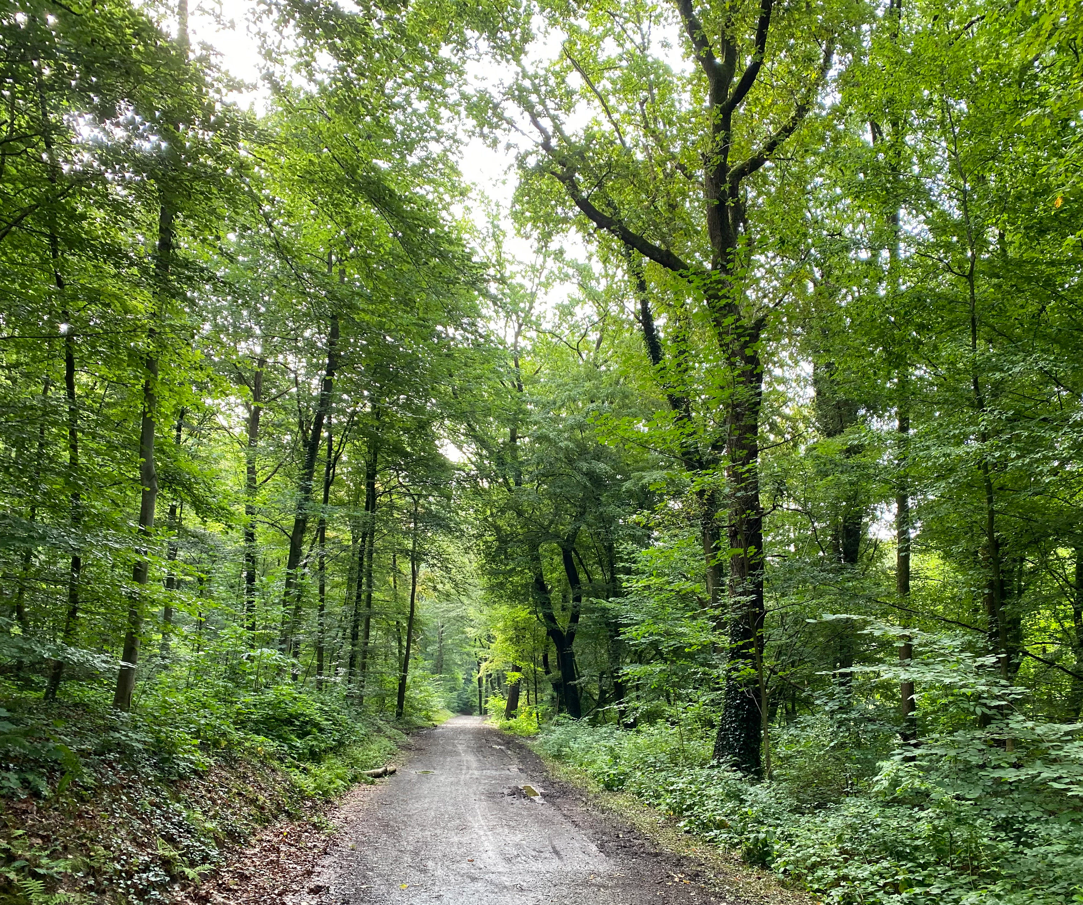
A dirt hiking trail stretches into the distance through a dense, green, deciduous forest with tall trees.
A peaceful hiking path winding through the lush green beech forest of the Wupper and Wupper slopes nature reserve.

Wupper und Wupperhänge südlich Müngsten conservation status and protection priorities

The reserve is one of the focal FFH sites along the Wupper valley and represents a key element of the larger protected Wupper corridor running from Solingen through Remscheid to Leichlingen. Its protection targets, as formulated under the designation, cover the preservation, optimization, and restoration of near-natural deciduous forests, near-natural spring brooks, springs, exposed rock features, dry-warm habitats, and moist tall herb communities. The reserve also secures habitats of community interest under the EU Habitats Directive, including the Wupper as a flowing water body with submerged vegetation (FFH habitat type 3260) and Hainzsimsen-Beech forest (FFH habitat type 9110), as well as species protected under the Habitats Directive and the Birds Directive.

A central conservation goal is keeping the Wupper and its tributaries as a near-natural low mountain river system with maintained connectivity for fish and birds. Practical management focuses on keeping the stream system passable for migratory fish, protecting the rare Hainzsimsen-Beech forest type, and curbing the spread of invasive neophytes, notably Himalayan balsam and Japanese knotweed. The wet meadow near Schildsiepen has been managed by extensive grazing with hardy cattle since 2010 to slow the takeover of these alien species and to maintain open wetland habitat.

The reserve is administered under the Remscheid landscape plan by the city's lower landscape authority, ensuring that local land-use decisions remain coordinated with its conservation objectives. Internationally, it is integrated into the Natura 2000 network as site DE-4808-301, confirming its significance within European conservation policy.

Wupper und Wupperhänge südlich Müngsten cultural meaning and human context

The reserve is set within the cultural landscape of the Bergisches Land, a historical region east of the Rhine that developed around small farming settlements, water-powered mills, and later a dense network of textile, metalworking, and toolmaking industries. The Wupper valley, in particular, became a cradle of German industrial history, exemplified by the Müngsten Bridge, which crosses the valley directly above the protected slopes and was a major engineering achievement of the late nineteenth century. Today the area balances this industrial heritage with a strong tradition of local nature conservation, reflected in the city's landscape plan and the multiple protected valley sections that together protect the Wupper through Remscheid, Solingen, and beyond.
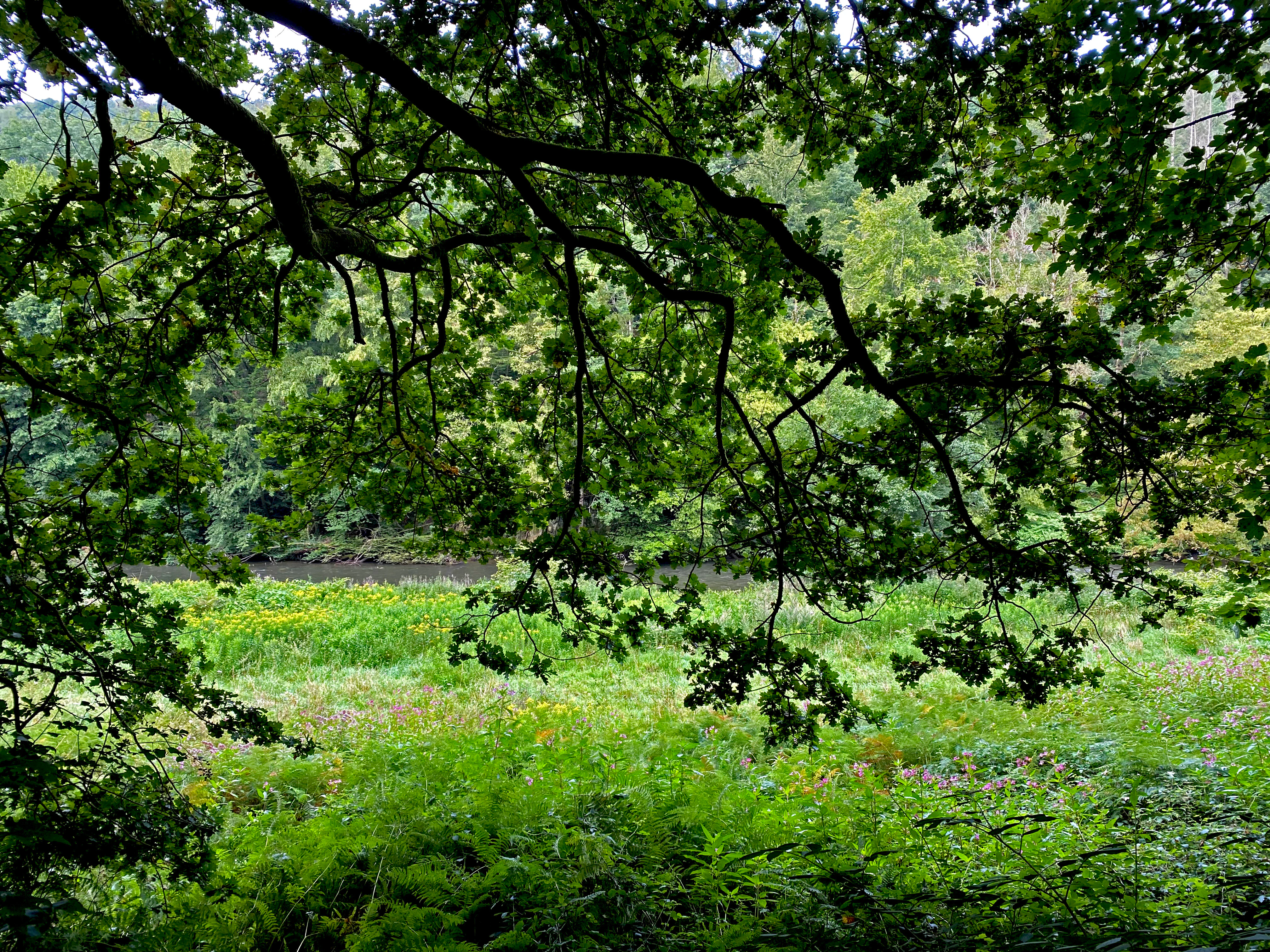
A view through dense overhanging tree branches looking down onto a lush green riverbank with flowering herbs and the Wupper river in the background.
Lush riverbank vegetation along the Wupper river within the Wupper und Wupperhänge südlich Müngsten nature reserve.

Top sights and standout views in Wupper und Wupperhänge südlich Müngsten

Wupper und Wupperhänge südlich Müngsten protects roughly 2.8 kilometers of near-natural Wupper valley slopes with steep gradients, rocky cliffs, and seven spring-fed tributary ravines.
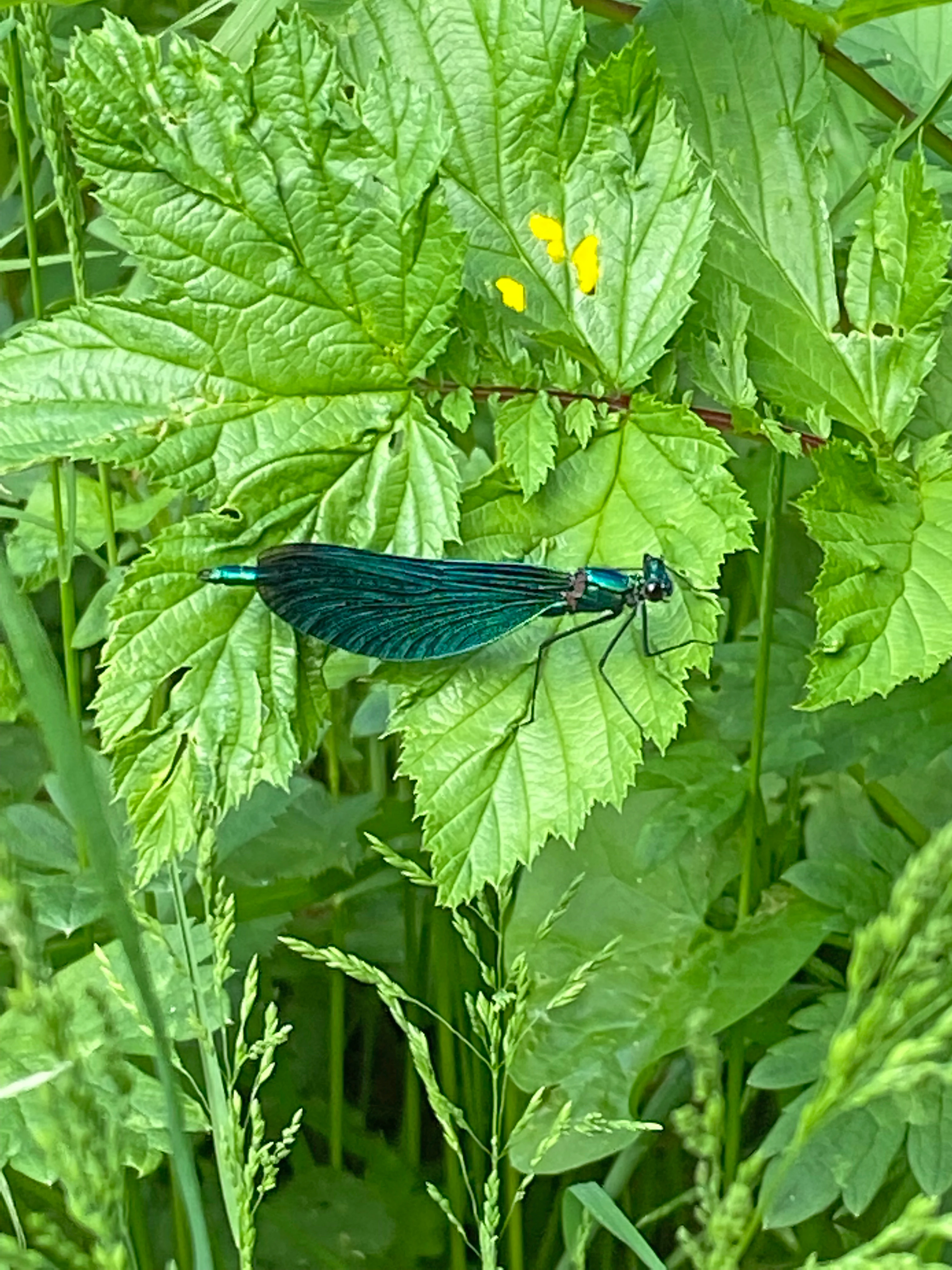
A metallic blue damselfly with dark wings rests on a bright green leaf surrounded by dense vegetation.
A Beautiful Demoiselle damselfly resting on lush foliage, an indicator species for clean, flowing water in this nature reserve.

Best time to visit Wupper und Wupperhänge südlich Müngsten

Spring through early summer brings the richest display of forest ground flora and active breeding bird life along the Wupper and its tributaries, when the spring seeps and tall herb fringes are most visible and the kingfisher and woodpeckers are most active. Late spring and early summer are also the best time to see dragonflies such as the beautiful demoiselle along the valley streams. Autumn colors the beech and oak canopy richly and offers quieter walking conditions in the cooler weather, while the exposed rocky slopes and cascades remain accessible and dramatic year-round, provided visitors respect the nature reserve rules.


Monthly climate preview

Long-term temperature ranges and monthly precipitation averages across representative park terrain

Climate Normals and Annual Weather Patterns for Wupper und Wupperhänge südlich Müngsten

Representative coordinate records show average temperatures ranging from winter lows below freezing to summer maximums above thirty degrees Celsius alongside steady daily precipitation. Examining the complete twelve-month climatology profile reveals detailed variations in long-term weather patterns across this protected area.
Annual mean10 °C
1 °C19 °C
Jan
Feb
Mar
Apr
May13°
Jun17°
Jul19°
Aug19°
Sep15°
Oct10°
Nov
Dec
Warmest month
July

19.2 °C

Coolest month
January

1.3 °C

Wettest month
December

2.6 mm/day

Driest month
April

1.6 mm/day

Park location guide

Geography guide, regional context, and park location map for Wupper und Wupperhänge südlich Müngsten

Wupper und Wupperhänge südlich Müngsten park geography, regions, and map view in Germany

Understand where Wupper und Wupperhänge südlich Müngsten sits in Germany through a broader geographic reading of the surrounding landscape, nearby location context, and its mapped position within the national park landscape.

How Wupper und Wupperhänge südlich Müngsten fits into Germany

Germany is a federal republic in Western and Central Europe with a population of over 83 million across sixteen constituent states. It is Europe's largest economy by nominal GDP and a major global exporter and importer. The capital is Berlin, and the country borders Denmark, Poland, Czech Republic, Austria, Switzerland, France, Luxembourg, Belgium, and the Netherlands.

Wider geography shaping Wupper und Wupperhänge südlich Müngsten in Germany

Germany is located in Western and Central Europe, spanning 357,022 km². It borders Denmark to the north, Poland and the Czech Republic to the east, Austria and Switzerland to the south, and France, Luxembourg, Belgium, and the Netherlands to the west. The country has coastlines on the Baltic Sea and North Sea to the north, with the Alps located in the southern region.

Map view of Wupper und Wupperhänge südlich Müngsten

Use this park location map to pinpoint Wupper und Wupperhänge südlich Müngsten in Germany, understand its exact geographic position, and read its mapped placement within the surrounding landscape more clearly.

Pigeon | © OpenStreetMap contributors

Location context for Wupper und Wupperhänge südlich Müngsten

Nordrhein-Westfalen

Visual exploration of steep forested valley slopes, rock outcrops, and river habitats

Wupper und Wupperhänge südlich Müngsten Photos and Protected Landscape Scenery

Visual documentation captures the steep deciduous forests, rugged slate cliffs, and spring-fed ravines defining Wupper und Wupperhänge südlich Müngsten. Examining these protected valley landscapes provides a clearer understanding of the terrain, river habitats, and low mountain topography.

A common kingfisher with bright blue and orange plumage perched on a bare tree branch against a soft green out of focus background.

A tawny owl perched with its eyes closed on a moss-covered tree branch.

A wide, elevated view looking into a valley filled with dense forest displaying autumn colors of orange, red, and yellow, with the Wupper river visible as a thin strip winding through the center.

A stone pavilion with arched pillars overlooks a forested valley and a river flowing through the center, with a small bridge visible in the distance.

A dirt hiking trail stretches into the distance through a dense, green, deciduous forest with tall trees.

A narrow, dirt hiking trail follows the edge of a forested riverbank with lush green vegetation and mature trees.

A view through dense overhanging tree branches looking down onto a lush green riverbank with flowering herbs and the Wupper river in the background.

A metallic blue damselfly with dark wings rests on a bright green leaf surrounded by dense vegetation.

A close-up view of a slender, eel-like European brook lamprey resting its head against a submerged rock on a sandy river bottom.

A view looking down from a grassy bank at the Wupper River, showing branches and river debris caught in tree roots at the water's edge.

A calm river flowing through a lush green, tree-lined valley with a small wooded island in the middle.

A small, cascading stream flowing over moss-covered rocks, surrounded by lush green foliage and dense trees in a forest setting.

A gravel hiking trail runs along a riverbank through a lush, green deciduous forest.

A view of a river framed by dense green deciduous trees and a dirt riverbank.

A downward view of a steep, heavily wooded hillside with deciduous trees, rocky outcroppings, and a leaf-covered path.

Park atlas

Compare nearby river valleys, deciduous forests, and regional conservation landscapes.

Other Parks Near Wupper und Wupperhänge südlich Müngsten and Surrounding Protected Areas

Continue exploring protected areas near Wupper und Wupperhänge südlich Müngsten by comparing adjacent valley ecosystems and forest reserves. Regional park browsing reveals connected low mountain terrain, river corridors, and protected habitats across the surrounding landscape.
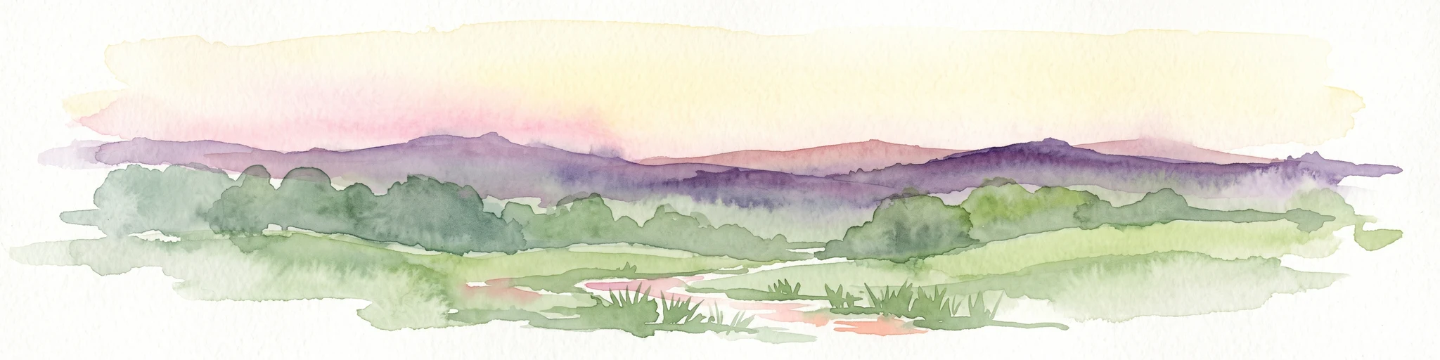
A watercolor painting showing a soft, stylized landscape of a meadow with low rolling hills in the background.
Nature reserveNordrhein-Westfalen
About 3.4 km away#1 closest

Southeast

Naturschutzgebiet Orchideenwiese bei Heintjeshammer: Regional Nature Reserve and Landscape Atlas

Examining meadow diversity and protected habitats in North Rhine-Westphalia

Spanning roughly 4.3 hectares on a hillside above the Eschbach valley, this nature reserve protects a rare assemblage of wetland, heathland, and wooded siefen habitats. It remains a key focus for understanding the distribution of species-rich grassland ecosystems that persist in the rolling topography of the Bergische Hochfläche.

Area
0.043 km²
Established
2000
IUCN
IV
Relief
Upland
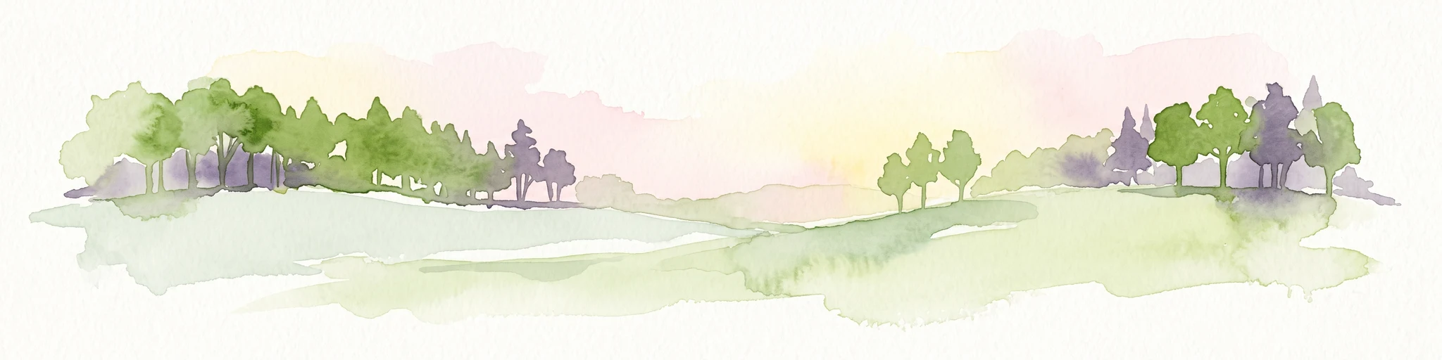
Watercolor painting of a rolling rural landscape with distant purple hills, green meadows, and trees, with a soft yellow sky.
Nature reserveNordrhein-Westfalen
About 5.1 km away#2 closest

Northeast

Naturschutzgebiet Oelingrather und Grunder Bachtal: Regional Valley Conservation Atlas

Deep-dive into the stream networks of Nordrhein-Westfalen

Naturschutzgebiet Oelingrather und Grunder Bachtal is defined by its two parallel V-shaped valleys and diverse aquatic habitats. This reserve preserves a vital mosaic of wet meadows, nutrient-poor grasslands, and deciduous forests that function as an essential stepping-stone within the regional ecological network of the Bergisches Land.

Area
0.222 km²
Established
2003
IUCN
IV
Relief
Upland
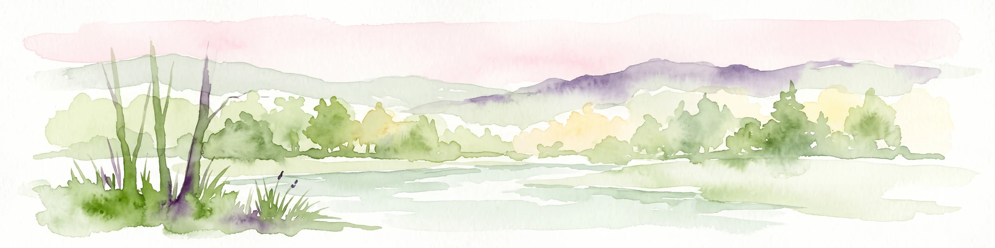
A wide watercolor illustration showing a winding river flowing through a green valley with pink and purple flowers in the foreground and soft yellow hills in the background.
Nature reserveNordrhein-Westfalen
About 6.3 km away#3 closest

Northeast

Leyerbachtal Nature Reserve: A Protected Valley and Industrial Heritage Site in Remscheid

An alluvial landscape and low-mountain stream corridor in Germany

Leyerbachtal serves as a vital protected corridor featuring a meandering brook, expansive gravel banks, and species-rich wet meadows. Located in the heart of the Bergisches Land, this nature reserve integrates high-value ecological habitats with the historic industrial remnants of Remscheid's water-powered past.

Area
0.151 km²
Established
2003
IUCN
IV
Nature reserveNordrhein-Westfalen
About 11 km away#4 closest

Northeast

Wilhelmsthaler und Haller Bachtal Nature Reserve: Bergisches Land Landscape and Map

A study of protected stream valleys and habitat mosaics in North Rhine-Westphalia.

Located in Remscheid, the Wilhelmsthaler und Haller Bachtal nature reserve protects a diverse array of interconnected stream-side and grassland habitats. This area demonstrates the ecological value of traditional valley landscapes in the Bergisches Land, providing essential connectivity for rare flora and local stream ecosystems through its unique relief and water corridors.

Area
0.103 km²
Established
2003
IUCN
IV
Relief
Upland
A soft watercolor painting of a small grove of trees standing near a body of water, featuring pale green and yellow tones.
Nature reserveNordrhein-Westfalen
About 12 km away#5 closest

West

Naturschutzgebiet Hildener Heide, südlich Sandberg: Protected Area and Landscape Atlas

Bog woodland and wet heathland geography in North Rhine-Westphalia.

Examine the topography and habitat mosaic of Naturschutzgebiet Hildener Heide, südlich Sandberg. This nature reserve serves as an important ecological anchor on the Bergische Heideterrasse, preserving rare wetland, alder bog forest, and heath vegetation within a compact and structurally diverse geographic footprint.

Area
0.08 km²
Established
1938
IUCN
IV
Relief
Lowland
A horizontal watercolor painting of a calm stream flowing through a grassy valley with distant hills and scattered trees under a soft, pink-tinted sky.
Nature reserveKreis Mettmann
About 12 km away#6 closest

West

Hühnerbachtal Nature Reserve: Geography and Protected Landscape in Kreis Mettmann

Mapped stream valley ecosystems and local habitat connectivity.

Hühnerbachtal protects a unique valley mosaic in Germany, characterized by floodplain forests and steep wooded slopes. The reserve maintains a critical biotope network near Haan, offering a deep look into the regional geography and protected terrain of the Mettmann district.

Area
0.244 km²
Established
1997
IUCN
IV
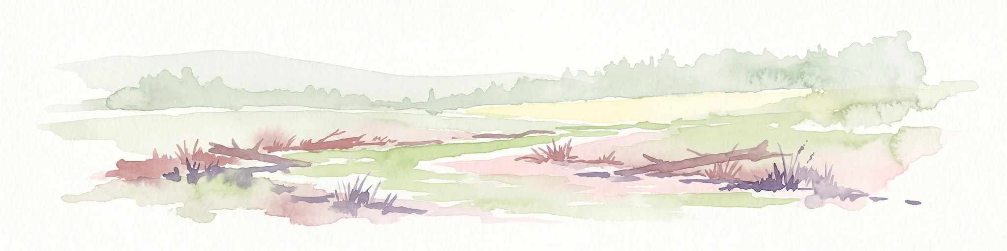
A watercolor painting showing a soft landscape scene with a winding stream, low-lying vegetation, and distant hills in pale green and earth tones.
Nature reserveNorth Rhine-Westphalia
About 12 km away#7 closest

West

Mahnerter Bachtal: Mapping the Protected Stream Valley Habitats of North Rhine-Westphalia

A vital riparian landscape and lowland nature reserve

Mahnerter Bachtal preserves a significant lowland stream valley in Erkrath, featuring alder swamps, wet meadows, and ancient oak forests. This 28-hectare nature reserve functions as a crucial east-west ecological corridor, offering a rare glimpse of undisturbed valley geography within the sprawling industrial landscape of the German Rhine-Ruhr metropolitan area.

Area
0.28 km²
Established
1997
IUCN
IV
Nature reserveNordrhein-Westfalen
About 12 km away#8 closest

Southwest

Wupperhang mit Henkensiepen und Hüscheider Bachtal Protected Area and Geographic Atlas

Forested river valleys and slopes in Nordrhein-Westfalen

Investigate the detailed geography of Wupperhang mit Henkensiepen und Hüscheider Bachtal, a nature reserve showcasing prime Hainsimsen beech forest and riparian habitats. The area represents a key ecological corridor along the Wupper River, featuring rugged side valleys, calcareous springs, and diverse floodplain vegetation that defines this protected woodland segment of the Bergisches Land.

Area
34.65 km²
Established
1985
IUCN
IV

Common questions about visiting, size, designation, and location context for Wupper und Wupperhänge südlich Müngsten

Wupper und Wupperhänge südlich Müngsten FAQs for park facts, access, geography, and protected area context

Find quick answers about Wupper und Wupperhänge südlich Müngsten, including protected-area facts, park geography, trail and visitor context, and how the park fits into its surrounding country and regional landscape.
MoriAtlas Explorer

Continue Your Protected Areas Search Across the Global Atlas

Deepen your exploration by continuing the structured search for national parks and protected areas worldwide. Utilize the comprehensive filtering capabilities to compare different conservation landscapes and refine your understanding of global park geography. Discover more about the distribution and characteristics of protected natural areas.

Global natural geography